Balgrochan, East
Settlement in Stirlingshire
Scotland
Balgrochan, East

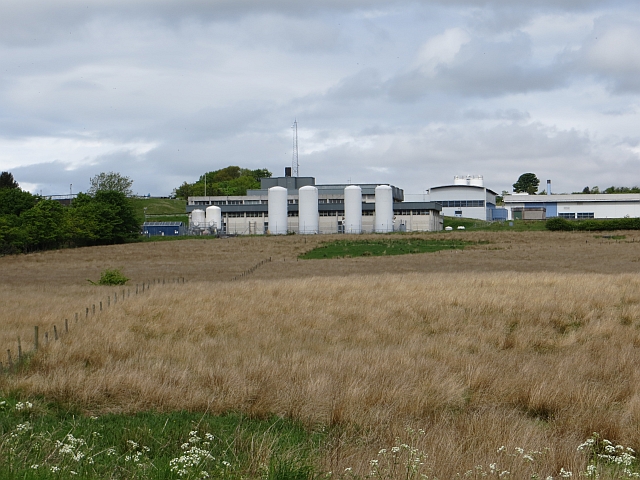
Balgrochan is a small village located in the East of Stirlingshire, Scotland. Situated near the River Carron, the village is surrounded by picturesque countryside, offering residents and visitors a tranquil and scenic environment.
The village of Balgrochan is home to a close-knit community, with a population of around 300 people. The residents mainly live in traditional stone-built houses, adding to the village's charming and rustic appeal. The village has a strong sense of community spirit, with various social events and gatherings organized throughout the year.
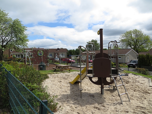
Despite its small size, Balgrochan offers several amenities to its residents. The village has a primary school, providing education for local children. There is also a village hall, which serves as a hub for community activities and events. Additionally, a local shop caters to the basic needs of residents, while a nearby town provides access to a wider range of services and facilities.
The surrounding area of Balgrochan is renowned for its natural beauty, attracting nature enthusiasts and outdoor lovers. The River Carron offers opportunities for fishing and boating, while the nearby hills provide hiking and walking trails. The village is also conveniently located near several historical sites and attractions, such as castles and ruins, which offer a glimpse into the region's rich history.
In summary, Balgrochan is a charming and close-knit village located in the East of Stirlingshire. With its beautiful natural surroundings, strong community spirit, and range of amenities, it provides a peaceful and idyllic place to live or visit.
If you have any feedback on the listing, please let us know in the comments section below.
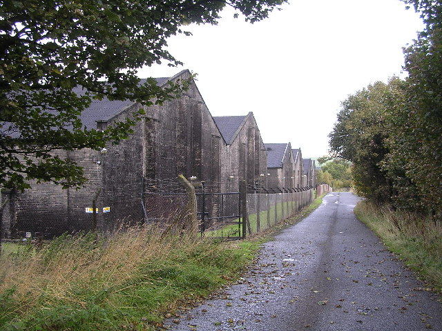
Balgrochan, East Images
Images are sourced within 2km of 55.939179/-4.2109262 or Grid Reference NS6274. Thanks to Geograph Open Source API. All images are credited.


Balgrochan, East is located at Grid Ref: NS6274 (Lat: 55.939179, Lng: -4.2109262)
Unitary Authority: East Dunbartonshire
Police Authority: Greater Glasgow
What 3 Words
///reveal.crowds.hulk. Near Torrance, East Dunbartonshire
Nearby Locations
Related Wikis

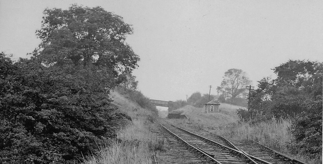
Torrance railway station
Torrance railway station was opened in 1879 on the Kelvin Valley Railway and served the area of the village of Torrance in East Dunbartonshire until 1951...

Torrance, East Dunbartonshire
Torrance is a relatively affluent village in East Dunbartonshire, formerly Stirlingshire, Scotland, located eight miles (thirteen kilometres) north of...

East Dunbartonshire
East Dunbartonshire (Scots: Aest Dunbartanshire; Scottish Gaelic: Siorrachd Dhùn Bhreatann an Ear, pronounced [ˈʃirˠəxk ɣum ˈpɾʲɛht̪ən̪ˠ əɲ ˈɛɾ]) is one...

Balmore
Balmore (from the Scottish Gaelic "Baile Mòr" meaning a large settlement) is a small village formerly in the county of Stirlingshire, but now lies in East...
Balmore railway station
Balmore railway station was opened in 1879 on the Kelvin Valley Railway and served the coal mining area, farms and the village of Balmore in East Dunbartonshire...
Cadder
Cadder (Scottish Gaelic: Coille Dobhair) is a district of the town of Bishopbriggs, East Dunbartonshire, Scotland. It is located 7 km north of Glasgow...

Adamslie Park
Adamslie Park was formerly a football ground in Kirkintilloch, East Dunbartonshire, Scotland, which was the home ground of Scottish Junior Football Association...
Wilderness Plantation
Wilderness Plantation was the site of a Roman fortlet on the Antonine Wall in Scotland.The line of the Antonine Wall runs roughly parallel between the...
Related Videos
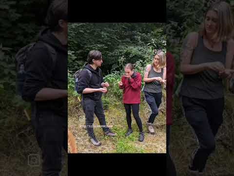
Woodland Yoga and Foraging
www.iamjenwilson.com/events Sunday 13th Aug 4-7pm for Woodland Yoga and Foraging in Bishopbriggs, Glasgow.
Murphy and Lucy enjoying some fun and exercise Jan 18
Wagalots Dog Walking and Pet Service.

Bishopbriggs Driving Test Centre Route 1 With Sat Nav Instructions | 4K
Bishopbriggs (Glasgow) Driving Test Centre Route 1 With Sat Nav Instructions | 4K Welcome to my latest video, where I'll be ...
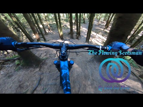
Rocks, roots and chutes. You'll need all your MTB skills to conquer Lennox Forest in Scotland.
Lennox forest MTB. Old School and New School downhill trails with a bit of a track walk to figure out the line choices. Two trails of ...
Nearby Amenities
Located within 500m of 55.939179,-4.2109262Have you been to Balgrochan, East?
Leave your review of Balgrochan, East below (or comments, questions and feedback).