Chartersfield Wood
Wood, Forest in Oxfordshire South Oxfordshire
England
Chartersfield Wood

Chartersfield Wood is a picturesque woodland located in the county of Oxfordshire, England. Covering an area of approximately 100 acres, it is a popular destination for nature lovers, hikers, and outdoor enthusiasts. The wood is situated just a few miles east of the town of Henley-on-Thames, nestled within the rolling hills and meandering rivers that characterize the region.
The wood is predominantly composed of native broad-leaved trees such as oak, beech, and birch, creating a diverse and vibrant ecosystem. The dense canopy provides a sheltered environment for a variety of wildlife, including deer, foxes, and a wide range of bird species. Birdwatchers flock to the wood to catch a glimpse of rare and migratory birds that can be spotted throughout the year.
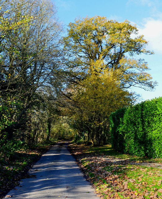
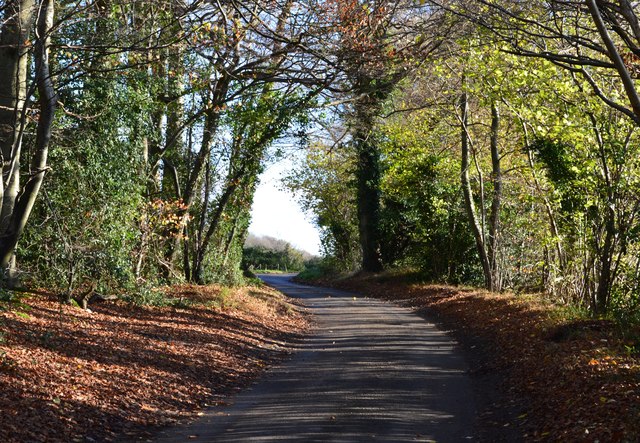
The woodland offers numerous walking trails and footpaths that wind through its enchanting surroundings. Visitors can explore the natural beauty of the area while enjoying the tranquility and serenity that the wood provides. It is a haven for those seeking solace and a break from the hustle and bustle of everyday life.
Chartersfield Wood is managed by the local authorities, who ensure its preservation and maintenance. They actively work to protect the woodland's biodiversity and promote its ecological importance. The wood also serves as an educational resource, with organized workshops and guided tours available to schools and community groups.
Overall, Chartersfield Wood is a captivating destination where visitors can immerse themselves in the wonders of nature, breathe in the fresh woodland air, and appreciate the beauty of Oxfordshire's countryside.
If you have any feedback on the listing, please let us know in the comments section below.
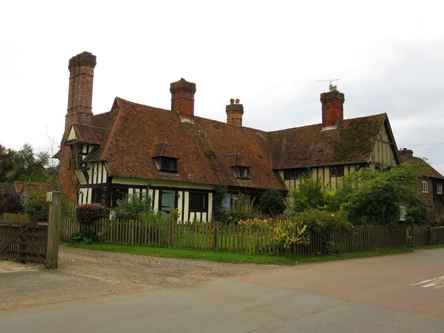
Chartersfield Wood Images
Images are sourced within 2km of 51.533117/-1.0209957 or Grid Reference SU6882. Thanks to Geograph Open Source API. All images are credited.


Chartersfield Wood is located at Grid Ref: SU6882 (Lat: 51.533117, Lng: -1.0209957)
Administrative County: Oxfordshire
District: South Oxfordshire
Police Authority: Thames Valley
What 3 Words
///flick.pesky.slanting. Near Rotherfield Peppard, Oxfordshire
Nearby Locations
Related Wikis

Wyfold Court
Wyfold Court is a country house at Rotherfield Peppard in south Oxfordshire. It is a Grade II* listed building. By the year 2000, the estate had been converted...

Hook End Recording Studios
Hook End Recording Studios was a recording studio located in Hook End Manor, a 16th-century Elizabethan house near Checkendon, Oxfordshire, England. Its...

St Peter and St Paul, Checkendon
St Peter and St Paul is the Church of England parish church of Checkendon, a village in Oxfordshire, England. Its parish is part of the Deanery of Henley...
Checkendon
Checkendon is a village and civil parish about 6 miles (10 km) west of Henley-on-Thames in South Oxfordshire and about 9 miles (14 km) north west of Reading...
Gallowstree Common
Gallowstree Common is a hamlet in South Oxfordshire, England, about 4.5 miles (7.2 km) north of Reading, Berkshire. The village had a public house, the...

Stoke Row
Stoke Row is a village and civil parish in the Chiltern Hills, about 5 miles (8 km) west of Henley-on-Thames in South Oxfordshire and about 9 miles (14...

Bear, Oveys and Great Bottom Woods
Bear, Oveys and Great Bottom Woods is a 64.1-hectare (158-acre) biological Site of Special Scientific Interest west of Henley-on-Thames in Oxfordshire...

Exlade Street
Exlade Street is a hamlet in Checkendon civil parish in Oxfordshire, about 6 miles (9.7 km) northwest of Reading, in the Chiltern Hills. The hamlet is...
Nearby Amenities
Located within 500m of 51.533117,-1.0209957Have you been to Chartersfield Wood?
Leave your review of Chartersfield Wood below (or comments, questions and feedback).