East Aberthaw
Settlement in Glamorgan
Wales
East Aberthaw
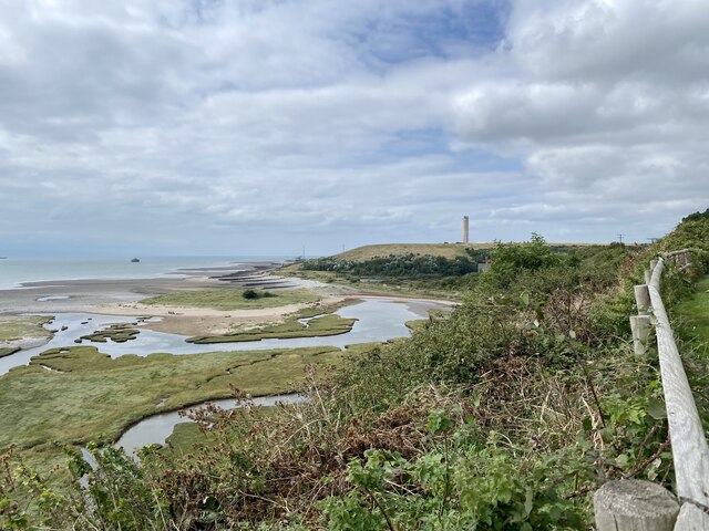
East Aberthaw is a small village located in the county of Glamorgan, South Wales. Situated on the eastern coast of the Vale of Glamorgan, this picturesque village is surrounded by stunning natural beauty and offers a tranquil and idyllic setting for its residents and visitors.
With a population of around 600 people, East Aberthaw is known for its close-knit community and friendly atmosphere. The village is primarily residential, with a mix of traditional Welsh cottages and modern houses dotting its charming streets. The architecture reflects the village's rich history, with some buildings dating back several centuries.
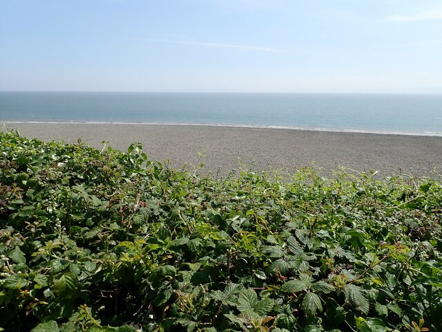
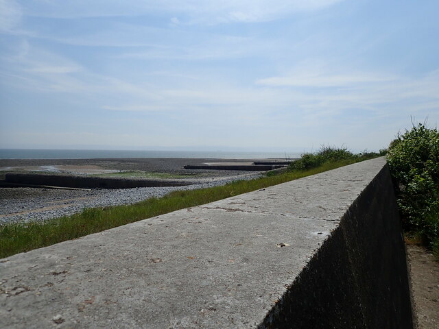
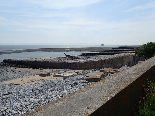
One of the highlights of East Aberthaw is its proximity to the beautiful coastline. The village is just a short distance from Aberthaw Beach, a sandy stretch of shore that boasts breathtaking views of the Bristol Channel. The beach is popular among locals and visitors alike for relaxing walks, picnics, and water activities such as swimming and surfing.
The village is also home to a handful of amenities, including a local pub and a community center that hosts various events throughout the year. For more extensive shopping and entertainment options, the nearby town of Barry is easily accessible.
Overall, East Aberthaw is a charming and peaceful village that offers residents and visitors a chance to experience the beauty of the Welsh countryside while enjoying a close-knit community atmosphere. Whether exploring the stunning coastline or immersing oneself in the village's rich history, East Aberthaw is a hidden gem in the heart of Glamorgan.
If you have any feedback on the listing, please let us know in the comments section below.
East Aberthaw Images
Images are sourced within 2km of 51.391113/-3.3884677 or Grid Reference ST0366. Thanks to Geograph Open Source API. All images are credited.


East Aberthaw is located at Grid Ref: ST0366 (Lat: 51.391113, Lng: -3.3884677)
Unitary Authority: The Vale of Glamorgan
Police Authority: South Wales
What 3 Words
///saints.piglets.shot. Near Rhoose, Vale of Glamorgan
Nearby Locations
Related Wikis

Aberthaw
Aberthaw (Welsh: Aberddawan) is an area containing the villages of East Aberthaw and West Aberthaw, on the coast of South Wales about 5 miles (8 km) west...
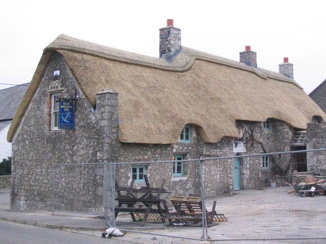
The Blue Anchor Inn
The Blue Anchor Inn is a Grade II* listed inn in Aberthaw, Vale of Glamorgan, south Wales. == History == It is a long low building with walls and low...

Aberthaw High Level railway station
Aberthaw High Level railway station was a Vale of Glamorgan Railway station operated by the Barry Railway which served Aberthaw, located near the north...

Aberthaw Low Level railway station
Aberthaw Low Level railway station was the Taff Vale Railway station which served East Aberthaw, located near the north shore of the Bristol Channel in...

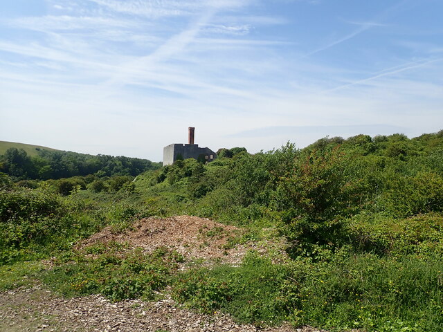
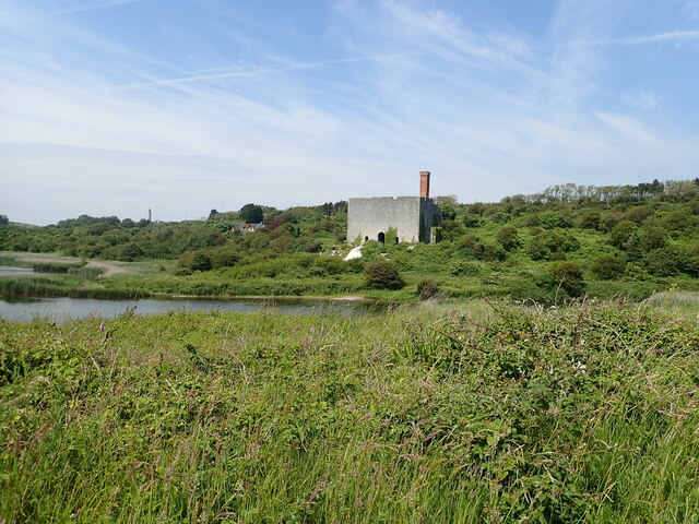
Aberthaw Lime Works
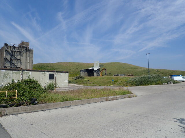
Aberthaw Lime Works is a derelict structure, located on the South Wales coast, between Fontygary Bay and Aberthaw Power Station. The structure is a Grade...
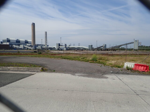
Aberthaw Cement Works
Aberthaw Cement Works are cement works in the Vale of Glamorgan near the village of East Aberthaw in Wales. == History == The Blue Lias limestone of Aberthaw...

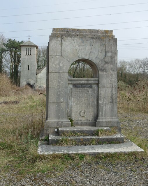
Boys Village
St Athan Boys' Village was a village-style holiday camp located in West Aberthaw, Vale of Glamorgan, Wales. == Development and operations == Philanthropist...

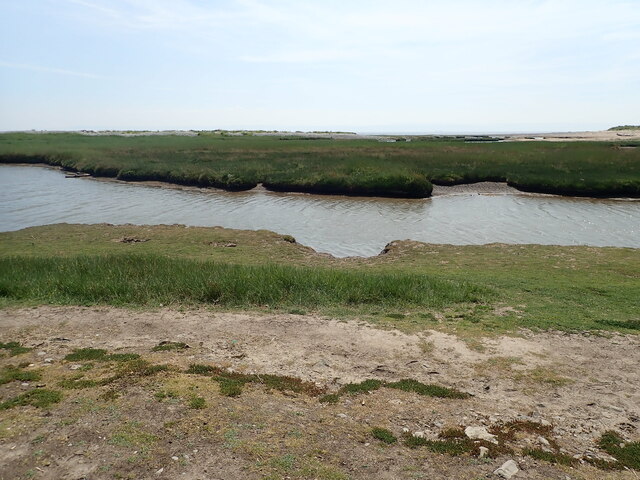
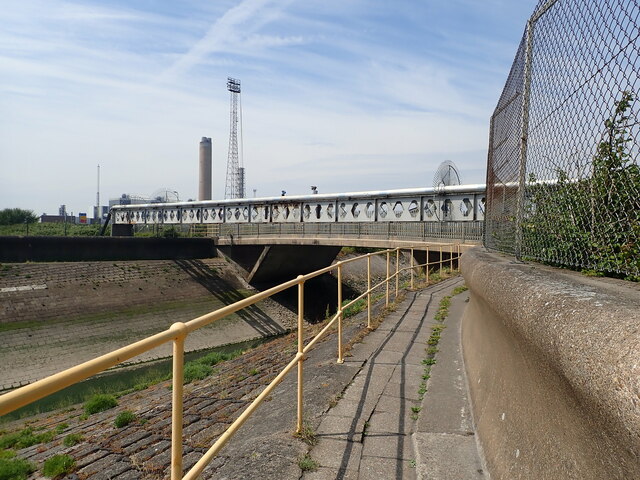
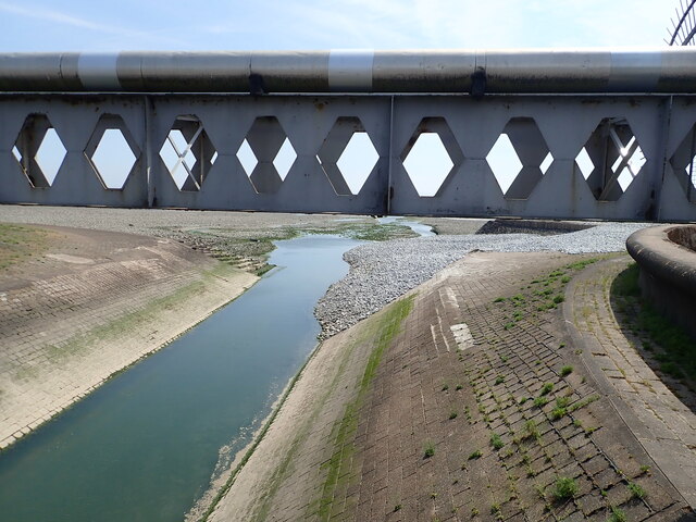
River Thaw
The River Thaw (Welsh: Afon Ddawan) (also Ddaw) is a river in the Vale of Glamorgan, south Wales. At 20 kilometres/12.4 miles, it is the longest river...
Nearby Amenities
Located within 500m of 51.391113,-3.3884677Have you been to East Aberthaw?
Leave your review of East Aberthaw below (or comments, questions and feedback).