Aberddawan
Settlement in Glamorgan
Wales
Aberddawan
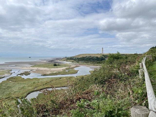
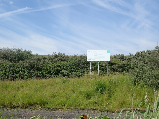
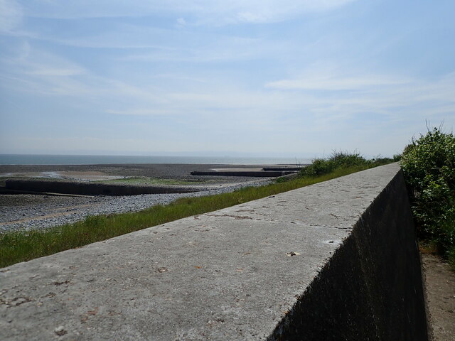
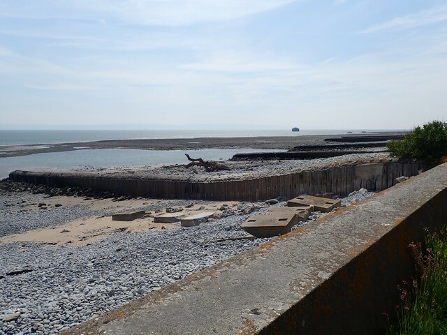
Aberddawan is a small village located in the county of Glamorgan, Wales. It is situated on the southern coast of the country, overlooking the Bristol Channel. The village is surrounded by picturesque landscapes, with rolling hills to the north and the sea to the south.
Aberddawan has a rich history that dates back to medieval times. The village was once a prosperous fishing community, known for its abundance of seafood and thriving trade. Today, remnants of its maritime past can still be seen in the quaint harbor and traditional fishing boats that dot the coastline.
The village is home to a close-knit community, with a population of approximately 500 residents. The locals are known for their warm hospitality and strong sense of community spirit. Aberddawan offers a peaceful and tranquil environment, making it an ideal place for those seeking a slower pace of life.
Despite its small size, Aberddawan offers a range of amenities to its residents. There are a few shops, including a grocery store and a post office, which cater to the daily needs of the community. Additionally, there are a couple of local pubs and restaurants, where visitors can indulge in traditional Welsh cuisine and enjoy the friendly atmosphere.
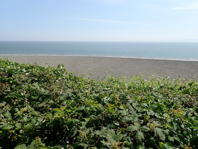
Aberddawan is also a popular destination for tourists who are drawn to its natural beauty and charm. The village is surrounded by stunning beaches and coastal paths, making it a haven for outdoor enthusiasts and nature lovers. Whether it's exploring the rugged coastline or simply enjoying the breathtaking views, Aberddawan offers a refreshing and rejuvenating escape from the hustle and bustle of city life.
If you have any feedback on the listing, please let us know in the comments section below.
Aberddawan Images
Images are sourced within 2km of 51.384728/-3.3953018 or Grid Reference ST0366. Thanks to Geograph Open Source API. All images are credited.

Aberddawan is located at Grid Ref: ST0366 (Lat: 51.384728, Lng: -3.3953018)
Unitary Authority: The Vale of Glamorgan
Police Authority: South Wales
Also known as: Aberthaw
What 3 Words
///accompany.gravest.unfit. Near Rhoose, Vale of Glamorgan
Nearby Locations
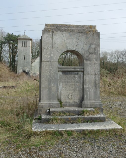
Related Wikis

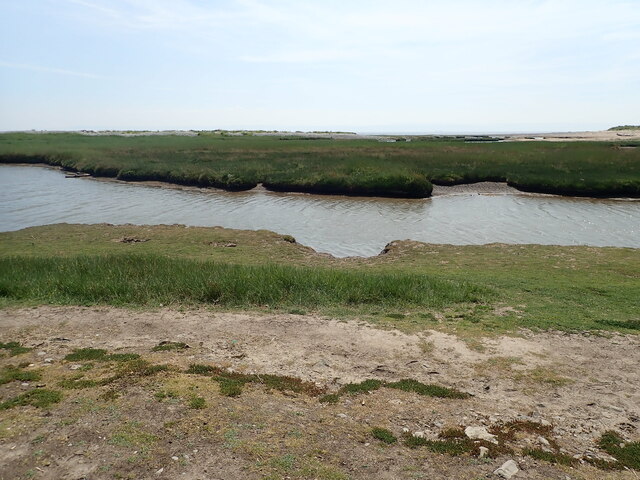
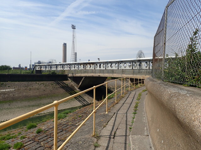
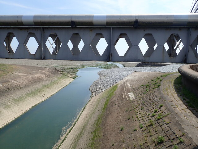
River Thaw
The River Thaw (Welsh: Afon Ddawan) (also Ddaw) is a river in the Vale of Glamorgan, south Wales. At 20 kilometres/12.4 miles, it is the longest river...

Aberthaw Low Level railway station
Aberthaw Low Level railway station was the Taff Vale Railway station which served East Aberthaw, located near the north shore of the Bristol Channel in...

Aberthaw High Level railway station
Aberthaw High Level railway station was a Vale of Glamorgan Railway station operated by the Barry Railway which served Aberthaw, located near the north...

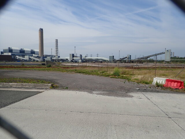
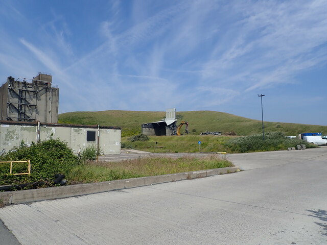
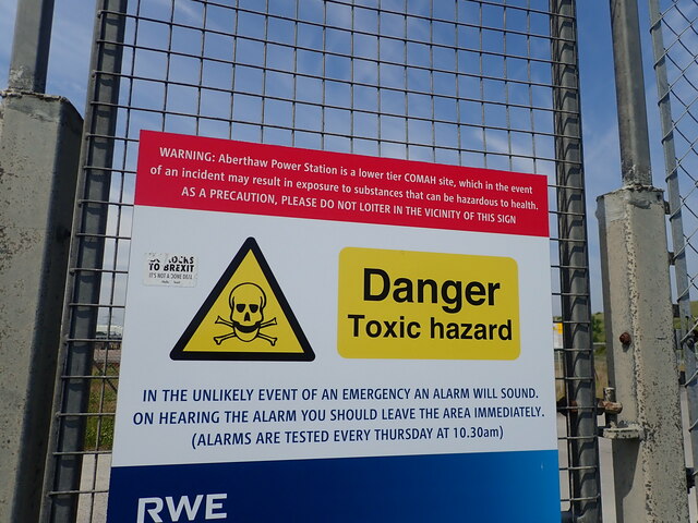
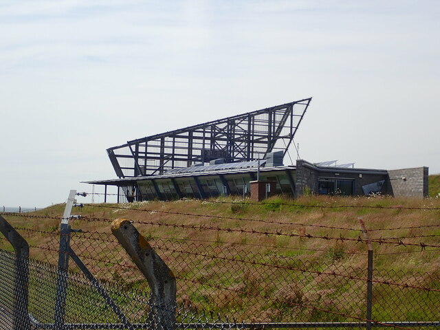
Aberthaw power stations
Aberthaw Power Station refers to two decommissioned coal-fired and co-fired biomass power stations on the coast of South Wales, near Barry in the Vale...
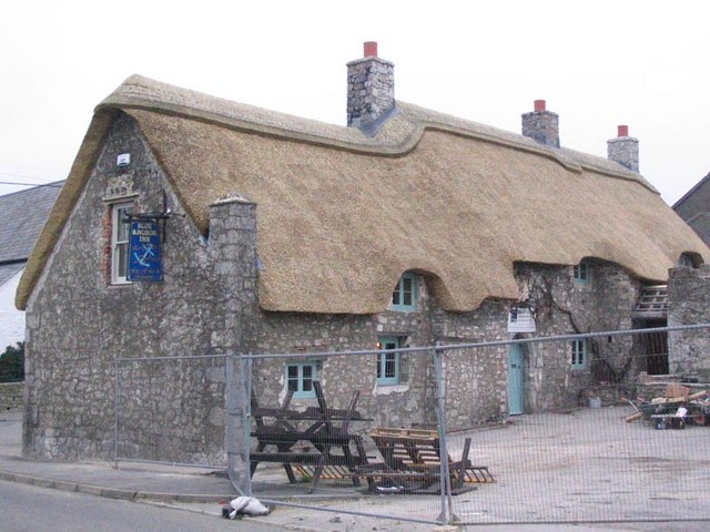
The Blue Anchor Inn
The Blue Anchor Inn is a Grade II* listed inn in Aberthaw, Vale of Glamorgan, south Wales. == History == It is a long low building with walls and low...

Breaksea Point
Breaksea Point is a promontory at the eastern edge of Gileston's Limpert Bay in the Vale of Glamorgan on the south coast of Wales. Breaksea Point is claimed...

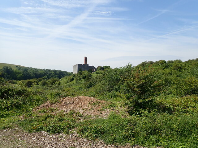
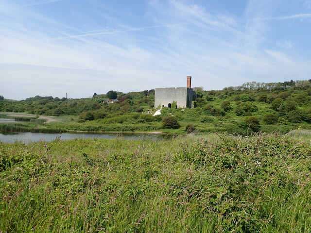
Aberthaw Lime Works
Aberthaw Lime Works is a derelict structure, located on the South Wales coast, between Fontygary Bay and Aberthaw Power Station. The structure is a Grade...

Aberthaw
Aberthaw (Welsh: Aberddawan) is an area containing the villages of East Aberthaw and West Aberthaw, on the coast of South Wales about 5 miles (8 km) west...
Nearby Amenities
Located within 500m of 51.384728,-3.3953018Have you been to Aberddawan?
Leave your review of Aberddawan below (or comments, questions and feedback).