Great Ground Plantation
Wood, Forest in Oxfordshire South Oxfordshire
England
Great Ground Plantation

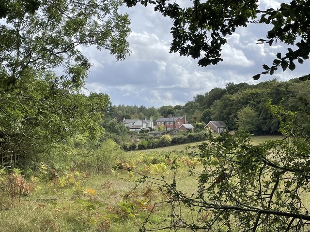
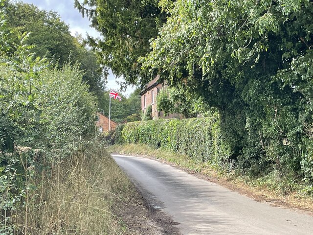
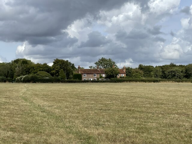
Great Ground Plantation is a scenic woodland located in Oxfordshire, England. Situated in the heart of the county, this sprawling forest covers a vast area of approximately 500 acres. The plantation is well-known for its dense and diverse tree cover, making it a perfect retreat for nature enthusiasts and outdoor lovers.
The woodland boasts a rich variety of tree species, including oak, beech, birch, and pine, creating a vibrant tapestry of colors throughout the year. The towering trees provide a haven for an array of wildlife, from deer and foxes to a multitude of bird species, making it a popular destination for birdwatching and wildlife spotting.
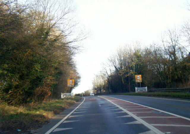
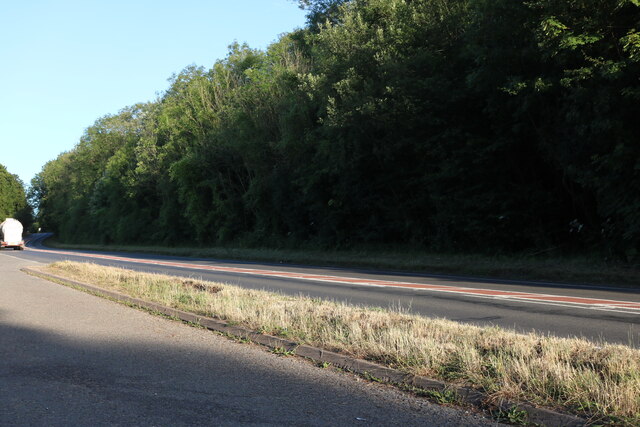
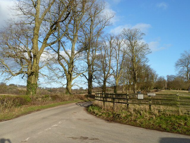
Great Ground Plantation is intersected by a network of well-maintained walking and cycling trails, allowing visitors to explore its enchanting beauty at their own pace. Whether it's a leisurely stroll or an adventurous hike, there are routes suitable for all ages and abilities. The tranquil atmosphere and the soothing sounds of nature make it an ideal spot for those seeking solitude or a break from the hustle and bustle of city life.
The plantation offers various amenities for visitors, including ample parking facilities and picnic areas nestled amidst the trees. It also has designated areas for camping and barbecues, allowing for longer stays and overnight adventures.
Overall, Great Ground Plantation in Oxfordshire is a captivating woodland, offering a serene and picturesque escape for individuals and families alike. With its breathtaking scenery, diverse wildlife, and well-maintained trails, it continues to be a cherished destination for nature lovers seeking solace in the heart of Oxfordshire's countryside.
If you have any feedback on the listing, please let us know in the comments section below.
Great Ground Plantation Images
Images are sourced within 2km of 51.59473/-1.0266304 or Grid Reference SU6788. Thanks to Geograph Open Source API. All images are credited.


Great Ground Plantation is located at Grid Ref: SU6788 (Lat: 51.59473, Lng: -1.0266304)
Administrative County: Oxfordshire
District: South Oxfordshire
Police Authority: Thames Valley
What 3 Words
///compress.picturing.flap. Near Watlington, Oxfordshire
Related Wikis

HM Prison Huntercombe
HM Prison Huntercombe is a Category C men's prison, located near Nuffield in Oxfordshire, England. It is operated by His Majesty's Prison Service. ��2...

Nuffield Place
Nuffield Place is a country house near the village of Nuffield in the Chiltern Hills in South Oxfordshire, England, just over 4 miles (6 km) east of Wallingford...

Swyncombe
Swyncombe is a hamlet and large civil parish in the high Chilterns, within the Area of Outstanding Natural Beauty about 4+1⁄2 miles (7 km) east of Wallingford...

Nuffield, Oxfordshire
Nuffield is a village and civil parish in the Chiltern Hills in South Oxfordshire, England, just over 4 miles (6 km) east of Wallingford. The 2011 Census...

Swyncombe Downs
Swyncombe Downs is a 47.1-hectare (116-acre) biological Site of Special Scientific Interest east of Wallingford in Oxfordshire.This is an area of chalk...

A4130 road
The A4130 is a British A road which runs from a junction with the A404 at Burchetts Green (Maidenhead), Berkshire to the A417 at Rowstock in Oxfordshire...

Henley Rural District
Henley was a rural district in Oxfordshire, England from 1894 to 1974.It was named after the borough of Henley-on-Thames, which it surrounded on the west...

Berrick Trench
Berrick Trench is a 2.1-hectare (5.2-acre) biological Site of Special Scientific Interest north of Nettlebed in Oxfordshire.This is an ancient semi-natural...
Nearby Amenities
Located within 500m of 51.59473,-1.0266304Have you been to Great Ground Plantation?
Leave your review of Great Ground Plantation below (or comments, questions and feedback).