Dial Plantation

Wood, Forest in Oxfordshire South Oxfordshire

England

Dial Plantation

A4130 eastbound near May's Farm
A4130 eastbound near May's Farm Credit: Colin Pyle

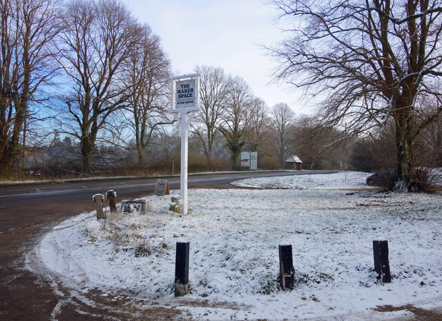
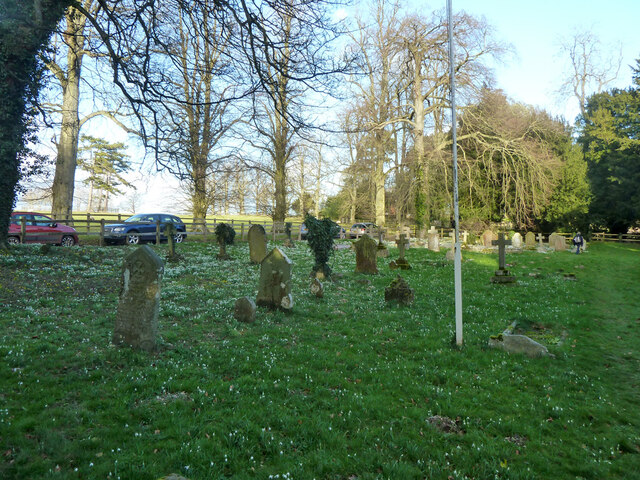
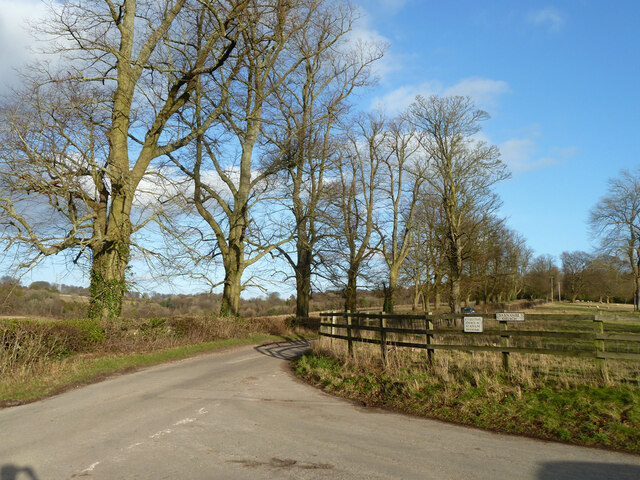
Dial Plantation is a picturesque woodland located in Oxfordshire, England. Spanning over a vast area, it is renowned for its stunning natural beauty and diverse ecosystem. The plantation consists primarily of dense forest cover, with towering trees forming a canopy overhead, creating a serene and tranquil atmosphere.

The woodland is home to a wide variety of flora and fauna, making it a popular destination for nature enthusiasts and wildlife photographers. Visitors can spot an array of native tree species such as oak, beech, and birch, which provide shelter to numerous bird species, including woodpeckers and owls. The forest floor is adorned with a carpet of vibrant wildflowers during the spring and summer months, adding a splash of color to the surroundings.

Dial Plantation offers numerous walking trails, allowing visitors to explore and immerse themselves in the natural beauty of the area. These trails range in difficulty, catering to both leisurely strolls and more adventurous hikes. Along the way, hikers may encounter babbling brooks and small ponds, adding to the enchanting ambiance of the woodland.

The plantation is well-maintained, with designated picnic areas and benches strategically placed throughout the forest, providing visitors with opportunities to rest and appreciate the surroundings. Additionally, there are information boards along some of the trails, offering insights into the local wildlife and the history of the area.

Overall, Dial Plantation in Oxfordshire is a haven for nature lovers, offering a peaceful and captivating experience amidst the beauty of the woodlands.

If you have any feedback on the listing, please let us know in the comments section below.

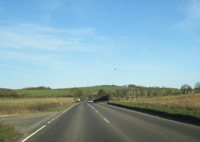
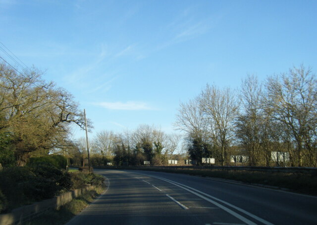
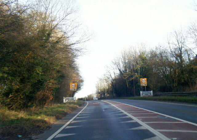
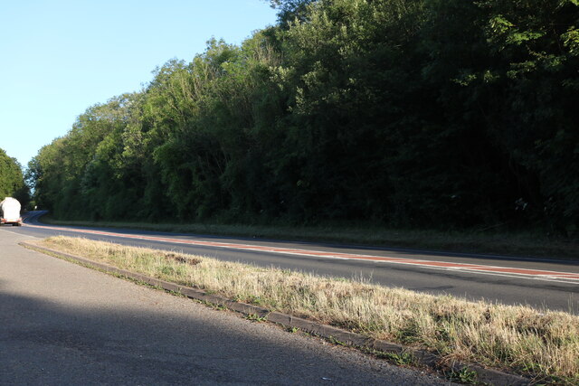
Dial Plantation Images

Images are sourced within 2km of 51.595717/-1.0340154 or Grid Reference SU6788. Thanks to Geograph Open Source API. All images are credited.

A4130 eastbound near May's Farm
A4130 at Gangsdown Hill
A4130 at Nuffield village boundary
Layby on Gangsdown Hill west on Nettlebed
Farmland, Ewelme Arable land beside a bridleway to the east of Potter's Farm.
Farmland, Ewelme
Arable land beside a bridleway to the east of Potter's Farm.
Light Snow at The Maker Space The Crown at Nuffield was a lovely traditional pub in the Brakspears of Henley estate, but like so many country pubs these days couldn't keep going. It was closed for a long time <a href="https://www.geograph.org.uk/photo/5583827">SU6787 : The Crown closed inn beside the A4130</a> but happily is now open again as The Maker Space (at The Crown) aiming more at the coffee, cake and light meals market, and also as a craft centre.
Light Snow at The Maker Space
The Crown at Nuffield was a lovely traditional pub in the Brakspears of Henley estate, but like so many country pubs these days couldn't keep going. It was closed for a long time SU6787 : The Crown closed inn beside the A4130 but happily is now open again as The Maker Space (at The Crown) aiming more at the coffee, cake and light meals market, and also as a craft centre.
Track and farmland, Ewelme Approaching the bridleway crossroads beside Down Farm.
Track and farmland, Ewelme
Approaching the bridleway crossroads beside Down Farm.
Snowdrops in Swyncombe churchyard
Tree clump and sheep, Swyncombe There were no swyn around.
Tree clump and sheep, Swyncombe
There were no swyn around.
Footpath heading north from Church Lane, Swyncombe
Road junction, Swyncombe Church Lane, and, off to the right, the road which actually goes to the church, Rectory Hill.
Road junction, Swyncombe
Church Lane, and, off to the right, the road which actually goes to the church, Rectory Hill.
Lane towards Ewelme Swyncombe Downs are up on the right.
Lane towards Ewelme
Swyncombe Downs are up on the right.
St Botolph's Church, Swyncombe
Swyncombe House The House, together with the Rectory and St Botolph's Church make up the hamlet of Swyncombe.
Most of the parishioners live in Cookley Green and Russell's Water.
The house was built in 1840 to replace an earlier manor. 
Like most country houses round here it has appeared in Midsomer Murders.
Swyncome information on <span class="nowrap"><a title="https://en.wikipedia.org/wiki/Swyncombe" rel="nofollow ugc noopener" href="https://en.wikipedia.org/wiki/Swyncombe">Link</a><img style="margin-left:2px;" alt="External link" title="External link - shift click to open in new window" src="https://s1.geograph.org.uk/img/external.png" width="10" height="10"/></span>
Swyncombe House
The House, together with the Rectory and St Botolph's Church make up the hamlet of Swyncombe. Most of the parishioners live in Cookley Green and Russell's Water. The house was built in 1840 to replace an earlier manor. Like most country houses round here it has appeared in Midsomer Murders. Swyncome information on LinkExternal link
Swan's Way bridleway near Down Farm Looking south from the slopes of Littleworth Hill.  In the valley bottom the bridleway crosses the avenue planted in the early 1900s that leads from Down Farm to Ewelme Down House.
Swan's Way bridleway near Down Farm
Looking south from the slopes of Littleworth Hill. In the valley bottom the bridleway crosses the avenue planted in the early 1900s that leads from Down Farm to Ewelme Down House.
Rolling arable farmland near Down Farm, Ewelme Looking west from the Swan's Way bridleway along the shelter belt called The Nuttery.
Rolling arable farmland near Down Farm, Ewelme
Looking west from the Swan's Way bridleway along the shelter belt called The Nuttery.
Littleworth Hill near Ewelme Looking north along the Swan's Way bridleway.
Littleworth Hill near Ewelme
Looking north along the Swan's Way bridleway.
Show me another place!

Dial Plantation is located at Grid Ref: SU6788 (Lat: 51.595717, Lng: -1.0340154)

Administrative County: Oxfordshire

District: South Oxfordshire

Police Authority: Thames Valley

What 3 Words

///logo.liners.invisible. Near Watlington, Oxfordshire

Related Wikis

HM Prison Huntercombe

HM Prison Huntercombe is a Category C men's prison, located near Nuffield in Oxfordshire, England. It is operated by His Majesty's Prison Service. ��2...

Nuffield Place

Nuffield Place is a country house near the village of Nuffield in the Chiltern Hills in South Oxfordshire, England, just over 4 miles (6 km) east of Wallingford...

Nuffield, Oxfordshire

Nuffield is a village and civil parish in the Chiltern Hills in South Oxfordshire, England, just over 4 miles (6 km) east of Wallingford. The 2011 Census...

Swyncombe

Swyncombe is a hamlet and large civil parish in the high Chilterns, within the Area of Outstanding Natural Beauty about 4+1⁄2 miles (7 km) east of Wallingford...

A4130 road

The A4130 is a British A road which runs from a junction with the A404 at Burchetts Green (Maidenhead), Berkshire to the A417 at Rowstock in Oxfordshire...

Swyncombe Downs

Swyncombe Downs is a 47.1-hectare (116-acre) biological Site of Special Scientific Interest east of Wallingford in Oxfordshire.This is an area of chalk...

Henley Rural District

Henley was a rural district in Oxfordshire, England from 1894 to 1974.It was named after the borough of Henley-on-Thames, which it surrounded on the west...

Berrick Trench

Berrick Trench is a 2.1-hectare (5.2-acre) biological Site of Special Scientific Interest north of Nettlebed in Oxfordshire.This is an ancient semi-natural...

Nearby Amenities

Located within 500m of 51.595717,-1.0340154
Ewelme Park
Building: yes
Place: locality
Lat/Long: 51.5971858/-1.0297307
Location Transition: yes
Power: pole
Source: Bing
Lat/Long: 51.5978883/-1.0277453
The data included in this document is from www.openstreetmap.org. The data is made available under ODbL.

Have you been to Dial Plantation?

Leave your review of Dial Plantation below (or comments, questions and feedback).