Brickyard Plantation
Wood, Forest in Nottinghamshire Rushcliffe
England
Brickyard Plantation

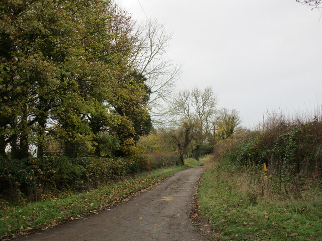
Brickyard Plantation is a scenic woodland area located in Nottinghamshire, England. Covering a vast expanse of approximately 200 acres, it is renowned for its stunning natural beauty and rich biodiversity.
The plantation is characterized by its dense and ancient woodland, interspersed with open meadows and picturesque ponds. The trees within the area primarily consist of oak, birch, and beech, creating a diverse and vibrant ecosystem. The woodland floor is adorned with a plethora of wildflowers, such as bluebells and primroses, adding to the allure of the landscape.
The plantation is home to a wide variety of wildlife, making it a popular spot for nature enthusiasts and photographers. Visitors may encounter deer, foxes, and rabbits, as well as a myriad of bird species, including woodpeckers and owls. The tranquil atmosphere and abundance of flora and fauna make Brickyard Plantation an ideal location for birdwatching, nature walks, and photography.
The plantation is open to the public year-round, providing ample opportunities for exploration and relaxation. Visitors can follow well-maintained trails that wind through the woodland, offering captivating views at every turn. Additionally, there are designated picnic areas and benches where visitors can pause and appreciate the peaceful surroundings.
Brickyard Plantation is not only a haven for wildlife and nature enthusiasts but also serves as an important conservation area. Efforts are made to preserve and protect the delicate ecosystem, ensuring that future generations can continue to enjoy the beauty and serenity of this remarkable woodland.
If you have any feedback on the listing, please let us know in the comments section below.
Brickyard Plantation Images
Images are sourced within 2km of 52.949459/-1.0014584 or Grid Reference SK6739. Thanks to Geograph Open Source API. All images are credited.


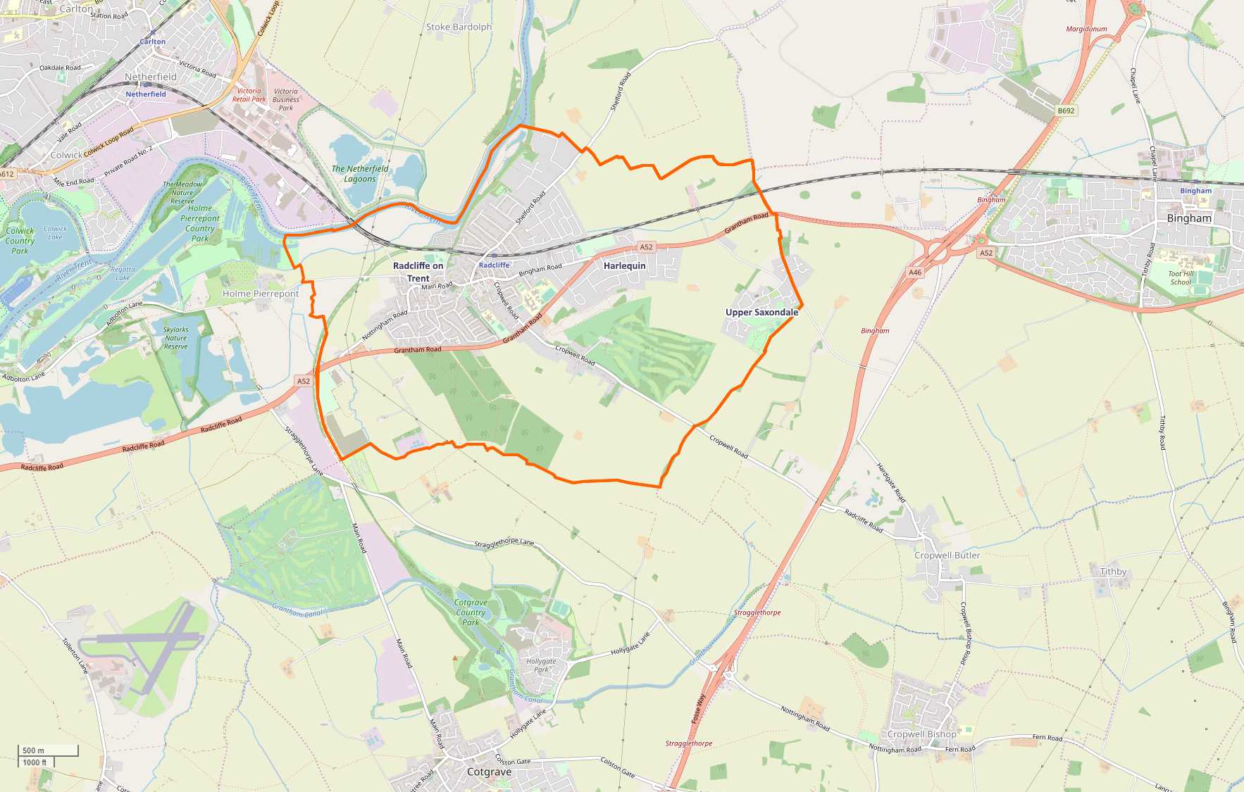
Brickyard Plantation is located at Grid Ref: SK6739 (Lat: 52.949459, Lng: -1.0014584)
Administrative County: Nottinghamshire
District: Rushcliffe
Police Authority: Nottinghamshire
What 3 Words
///future.blotting.submerged. Near Radcliffe on Trent, Nottinghamshire
Nearby Locations
Related Wikis
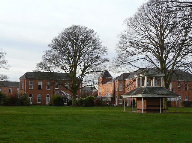
Saxondale Hospital
Saxondale Hospital was a psychiatric hospital near Radcliffe-on-Trent in Nottinghamshire, built to replace the Sneinton Asylum in Nottingham. == History... ==

Upper Saxondale
Upper Saxondale is a village and civil parish in the Rushcliffe district, in the county of Nottinghamshire, England. It lies in an upland area between...

Saxondale, Nottinghamshire
Saxondale is a small hamlet and civil parish in the Rushcliffe borough of Nottinghamshire, England, situated just off the A52 road near to its junction...
Harlequin, Nottinghamshire
Harlequin is an area to the east of the Nottinghamshire village of Radcliffe on Trent in England, the two settlements separated by the A52 trunk road....
Nearby Amenities
Located within 500m of 52.949459,-1.0014584Have you been to Brickyard Plantation?
Leave your review of Brickyard Plantation below (or comments, questions and feedback).