Ash Plantation
Wood, Forest in Nottinghamshire Bassetlaw
England
Ash Plantation

Ash Plantation is a sprawling woodland located in Nottinghamshire, England. Spanning an area of approximately 100 hectares, it is a prominent feature of the local landscape. The plantation is primarily composed of ash trees, hence its name, but also includes a diverse range of other tree species, such as oak, birch, and beech.
The woodland is a popular destination for nature enthusiasts and outdoor enthusiasts alike, offering a tranquil and picturesque setting for recreational activities. It is home to a variety of wildlife, including deer, foxes, badgers, and numerous bird species, making it an ideal spot for birdwatching and wildlife observation. The plantation also boasts a network of well-maintained walking trails, providing visitors with the opportunity to explore the area and enjoy the natural beauty of the surroundings.
Ash Plantation has a rich history, dating back to the 19th century when it was used for timber production. However, over the years, it has undergone significant conservation efforts to preserve its natural integrity and ecological value. Today, it is managed by the local authorities, who ensure the woodland remains a sustainable and ecologically diverse habitat.
The plantation is easily accessible, with a nearby car park and public transportation links. It also offers amenities such as picnic areas and seating, allowing visitors to relax and enjoy the peaceful ambiance of the woodland. Ash Plantation is a cherished natural asset of Nottinghamshire, providing a haven for wildlife and offering a tranquil retreat for locals and tourists alike.
If you have any feedback on the listing, please let us know in the comments section below.
Ash Plantation Images
Images are sourced within 2km of 53.240721/-0.99469355 or Grid Reference SK6771. Thanks to Geograph Open Source API. All images are credited.


Ash Plantation is located at Grid Ref: SK6771 (Lat: 53.240721, Lng: -0.99469355)
Administrative County: Nottinghamshire
District: Bassetlaw
Police Authority: Nottinghamshire
What 3 Words
///keyboards.monitors.orbit. Near New Ollerton, Nottinghamshire
Nearby Locations
Related Wikis

Haughton, Nottinghamshire
Haughton is a hamlet in the English county of Nottinghamshire. Haughton lies on the south bank of the River Maun about one mile south west from Bothamsall...

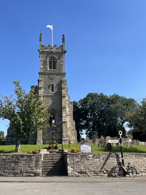
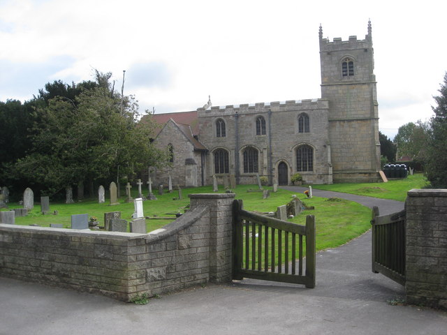
Our Lady and St Peter's Church, Bothamsall
Our Lady and St Peter's Church, Bothamsall is a Grade II listed parish church in the Church of England in Bothamsall. The church is part of the Lound Hall...

Walesby, Nottinghamshire
Walesby is a village and civil parish in Nottinghamshire, England. At the time of the 2001 census it had a population of 1,255 people, increasing slightly...
Haughton Hall, Nottinghamshire
Haughton Hall was an English country house near Haughton, Nottinghamshire. == History == Houghton Hall was built by William Holles and his son William...
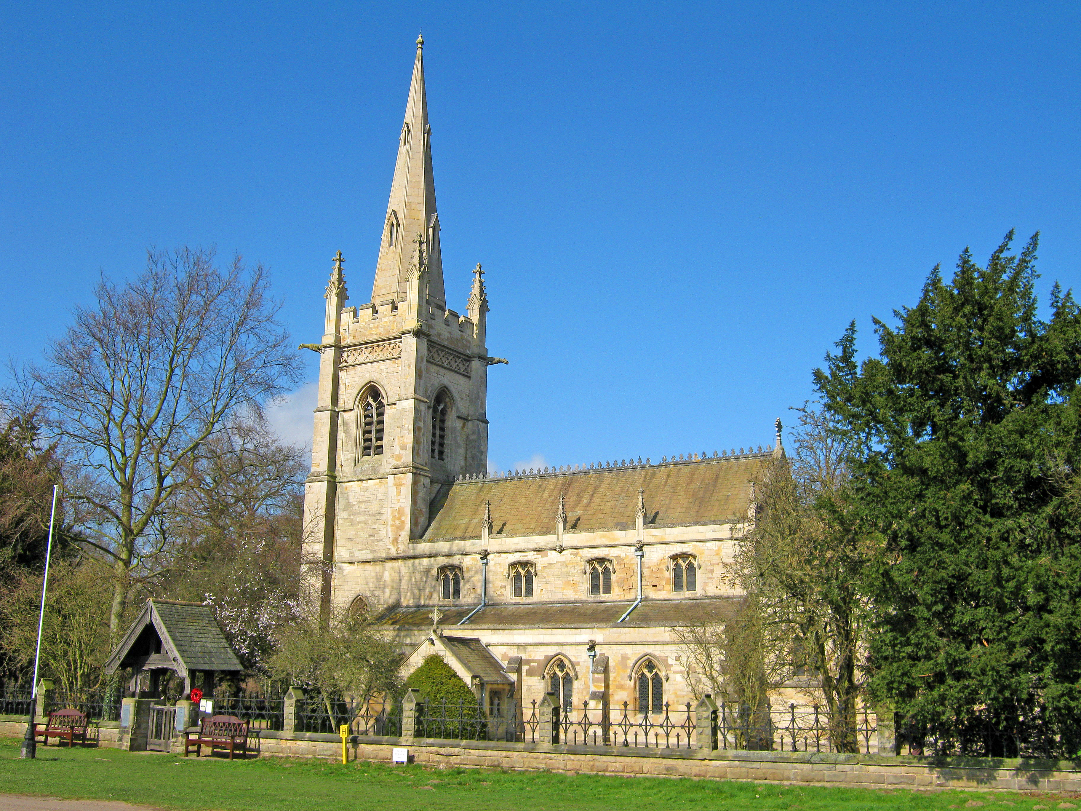
St Edmund's Church, Walesby
St Edmund's Church, Walesby is a Grade II* listed parish church in the Church of England in Walesby, Nottinghamshire. == History == The church was built...
Perlethorpe
Perlethorpe is a small village and former civil parish, now in the parish of Perlethorpe cum Budby, in the Newark and Sherwood district, in the county...
Bothamsall
Bothamsall is a village and civil parish in the Bassetlaw district of Nottinghamshire, England. According to the United Kingdom Census 2001 it had a population...

Boughton Pumping Station
Boughton Pumping Station was a water pumping station near New Ollerton in Nottinghamshire, operating from 1905. After closure it became a commercial hospitality...
Nearby Amenities
Located within 500m of 53.240721,-0.99469355Have you been to Ash Plantation?
Leave your review of Ash Plantation below (or comments, questions and feedback).