Brockholes Covert
Wood, Forest in Oxfordshire South Oxfordshire
England
Brockholes Covert
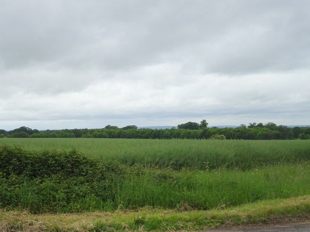
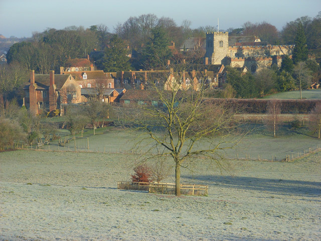
Brockholes Covert is a charming woodland located in Oxfordshire, England. This tranquil area is situated near the picturesque village of Brockholes, surrounded by the stunning countryside. The covert covers an expansive area, providing a haven for nature enthusiasts and outdoor adventurers alike.
The woodland is predominantly composed of deciduous trees, including oak, beech, and birch, which create a vibrant and ever-changing landscape throughout the seasons. The dense canopy provides ample shade during the summer months, making it an ideal spot for peaceful walks or picnics.
Brockholes Covert is home to a diverse range of wildlife, with various species of birds, mammals, and insects residing within its boundaries. Birdwatchers will delight in the opportunity to spot species such as woodpeckers, owls, and songbirds, while nature enthusiasts may encounter deer, foxes, and badgers during their explorations.
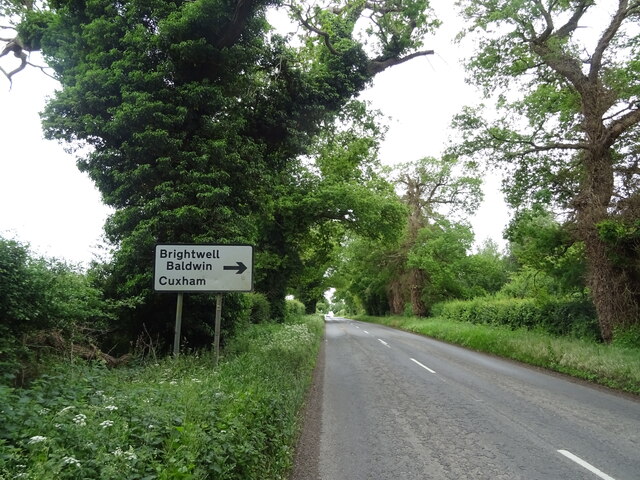
The woodland offers a network of well-maintained footpaths, allowing visitors to easily navigate and fully appreciate the natural surroundings. These paths wind through the trees, revealing hidden glades, babbling brooks, and enchanting wildflower meadows along the way.
Brockholes Covert is easily accessible, with ample parking available nearby. It is a popular destination for families, walkers, and photographers seeking solace in nature. Whether you are looking for a peaceful escape from daily life or a chance to immerse yourself in the beauty of the Oxfordshire countryside, Brockholes Covert is a must-visit destination.
If you have any feedback on the listing, please let us know in the comments section below.
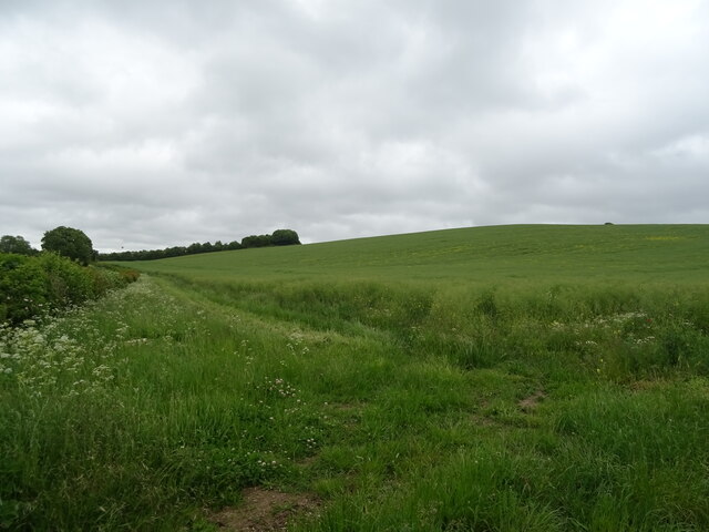
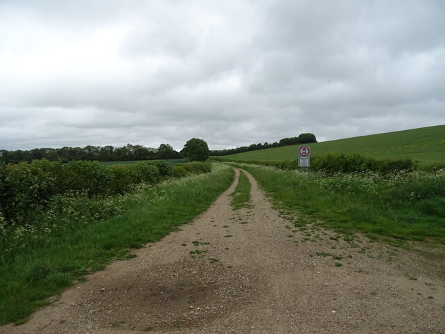
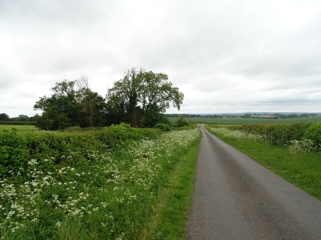
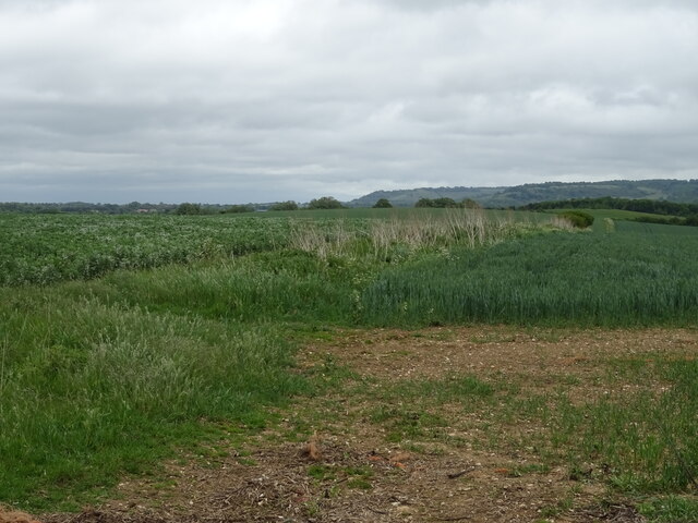
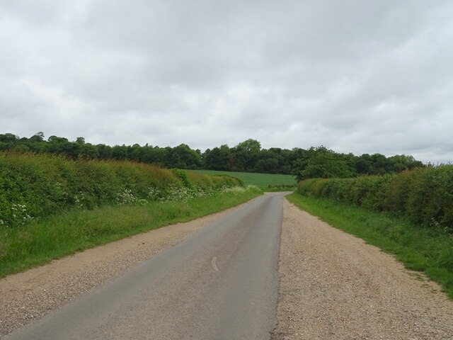
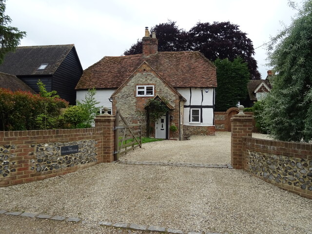
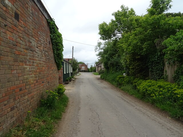
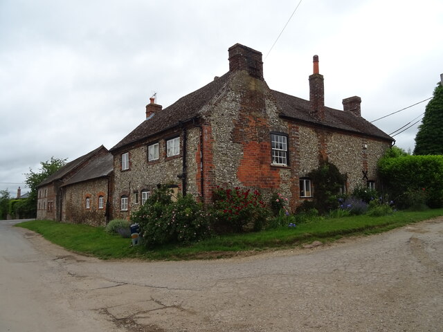
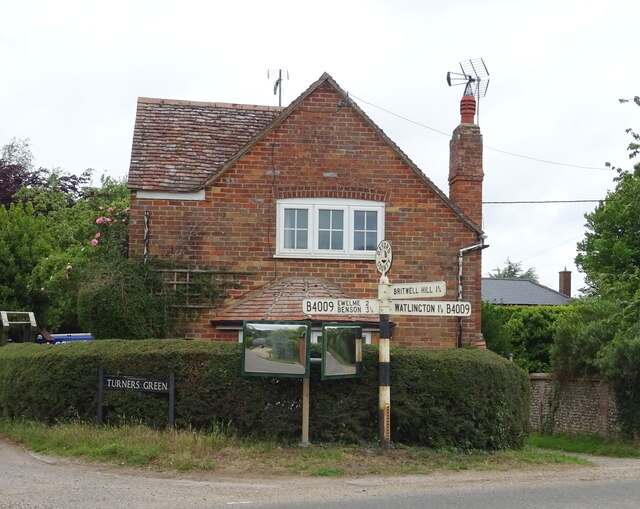
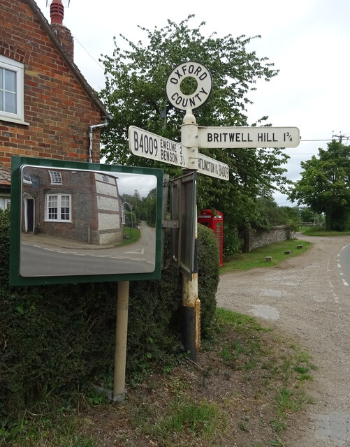
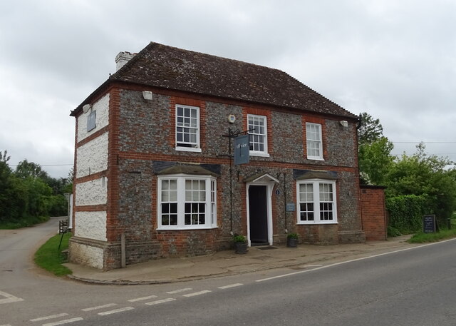
Brockholes Covert Images
Images are sourced within 2km of 51.62606/-1.0391066 or Grid Reference SU6692. Thanks to Geograph Open Source API. All images are credited.
Brockholes Covert is located at Grid Ref: SU6692 (Lat: 51.62606, Lng: -1.0391066)
Administrative County: Oxfordshire
District: South Oxfordshire
Police Authority: Thames Valley
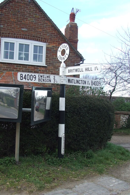
What 3 Words
///tapers.snuggled.hint. Near Watlington, Oxfordshire
Nearby Locations
Related Wikis

Britwell Salome
Britwell Salome is a village and civil parish in South Oxfordshire, England centred 4+1⁄2 miles (7 km) northeast of Wallingford. The 2011 Census recorded...

Swyncombe Downs
Swyncombe Downs is a 47.1-hectare (116-acre) biological Site of Special Scientific Interest east of Wallingford in Oxfordshire.This is an area of chalk...
Ewelme
Ewelme () is a village and civil parish in the Chiltern Hills in South Oxfordshire, 2.5 miles (4 km) north-east of the market town of Wallingford. The...
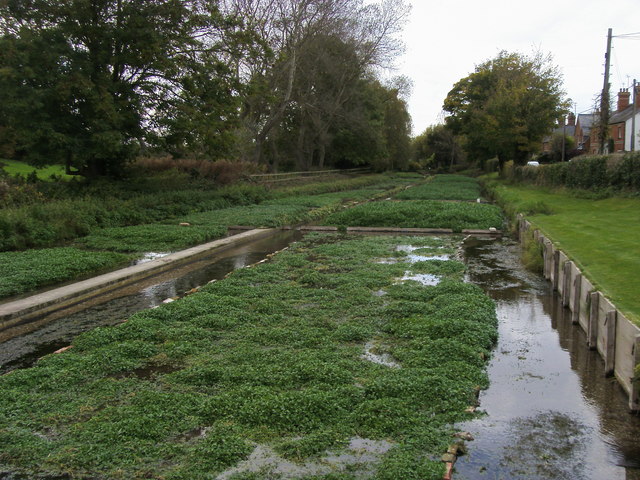
Ewelme Watercress Beds
Ewelme Watercress Beds is a 2.6-hectare (6.4-acre) Local Nature Reserve in Ewelme in Oxfordshire. It is owned and managed by the Chiltern Society.A stream...

Henley (UK Parliament constituency)
Henley is a constituency in Oxfordshire represented in the House of Commons of the UK Parliament since 2008 by John Howell, a Member of Parliament from...

South Oxfordshire
South Oxfordshire is a local government district in the ceremonial county of Oxfordshire, England. Its council is temporarily based outside the district...

Swyncombe
Swyncombe is a hamlet and large civil parish in the high Chilterns, within the Area of Outstanding Natural Beauty about 4+1⁄2 miles (7 km) east of Wallingford...

Cuxham
Cuxham is a village and former civil parish, now in the parish of Cuxham with Easington, in the South Oxfordshire district, in the county of Oxfordshire...
Nearby Amenities
Located within 500m of 51.62606,-1.0391066Have you been to Brockholes Covert?
Leave your review of Brockholes Covert below (or comments, questions and feedback).