Crow Wood
Wood, Forest in Yorkshire Ryedale
England
Crow Wood
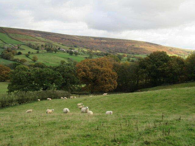
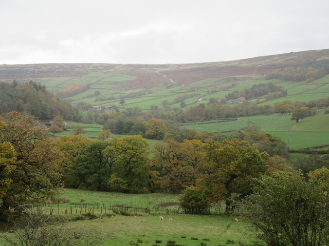
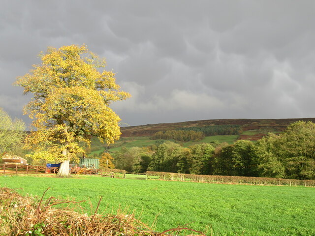
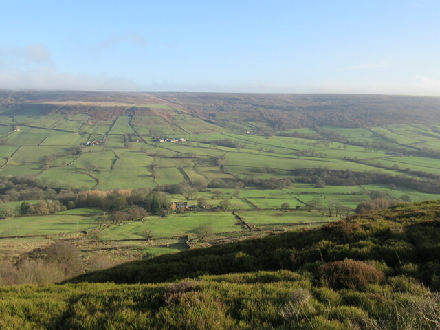
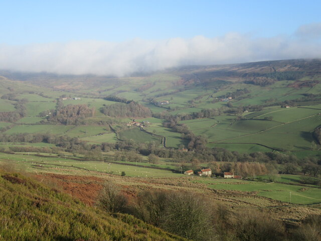
Crow Wood is a picturesque forest located in the county of Yorkshire, England. With its rich history and abundant natural beauty, it has become a popular destination for nature enthusiasts and outdoor adventurers.
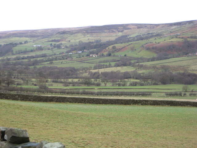
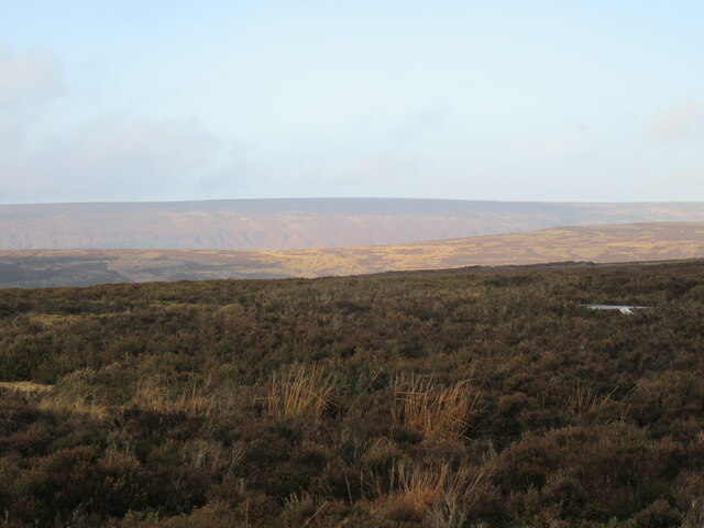
Covering an area of approximately 500 acres, Crow Wood is home to a diverse range of plant and animal species, making it an important habitat for biodiversity. The wood is primarily composed of deciduous trees, such as oak, beech, and birch, which create a stunning display of colors during the autumn months. Walking through the wood, visitors can enjoy the soothing sounds of birds singing and the rustling of leaves underfoot.
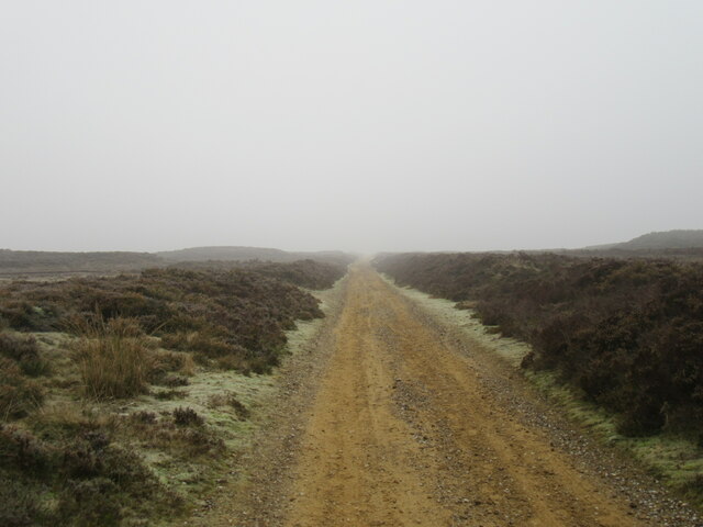
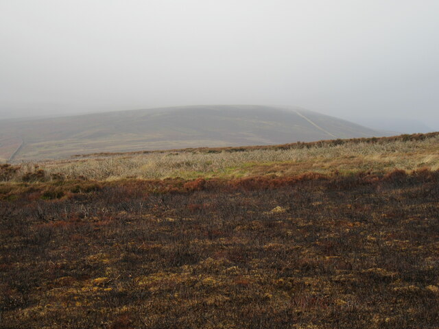
The forest offers a network of well-maintained walking trails, allowing visitors to explore its enchanting surroundings. These trails cater to all levels of fitness and vary in length, providing options for leisurely strolls or more challenging hikes. Along the way, hikers may come across hidden gems like peaceful ponds, ancient stone ruins, and breathtaking viewpoints.
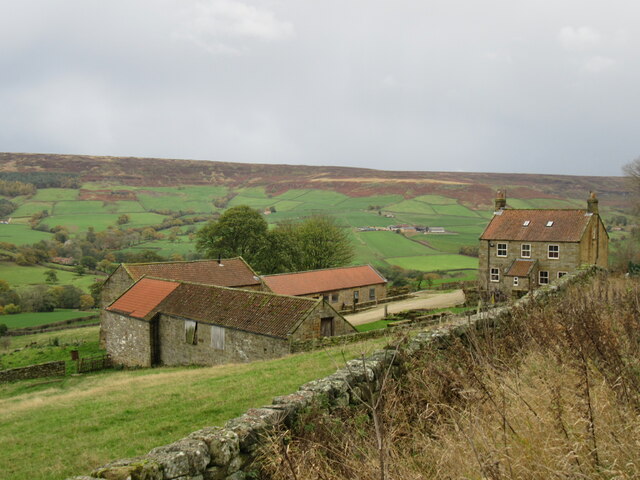
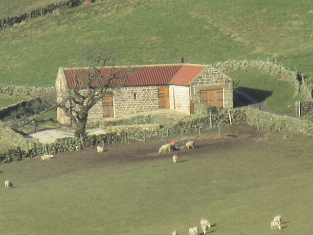
Crow Wood is also known for its historical significance. The forest has been mentioned in records dating back to the medieval period when it was a hunting ground for the local nobility. Today, remnants of this past can still be seen in the form of old stone walls and the occasional abandoned hunting lodge.
Overall, Crow Wood offers a serene escape from the hustle and bustle of everyday life. Its natural beauty, diverse wildlife, and rich history make it a must-visit destination for those seeking tranquility and a connection with nature.
If you have any feedback on the listing, please let us know in the comments section below.
Crow Wood Images
Images are sourced within 2km of 54.351468/-0.98168798 or Grid Reference SE6695. Thanks to Geograph Open Source API. All images are credited.


Crow Wood is located at Grid Ref: SE6695 (Lat: 54.351468, Lng: -0.98168798)
Division: North Riding
Administrative County: North Yorkshire
District: Ryedale
Police Authority: North Yorkshire
What 3 Words
///including.twisting.united. Near Bilsdale, North Yorkshire
Nearby Locations
Related Wikis

Farndale Local Nature Reserve
Farndale Local Nature Reserve is a Local Nature Reserve (LNR) in the valley of Farndale, North Yorkshire, England. It is located within the North York...

Farndale
Farndale is a valley and community in North Yorkshire, England, which is known for the daffodils which flower each spring along a 7-mile (11 km) stretch...

Ironstone mining in Rosedale
The Ironstone mining in Rosedale, was a major mining concern, in Rosedale, North Yorkshire, England. It flourished in the 19th century and ceased in the...

Lion Inn
The Lion Inn is a public house at Blakey Ridge, near Kirkbymoorside, in North Yorkshire, England. The building was completed between 1553 and 1558 (dates...

Bransdale
Bransdale is a valley running south through North Yorkshire, England, and part of the North York Moors National Park. Sandwiched between Bilsdale to the...

Cockayne, North Yorkshire
Cockayne is an isolated hamlet in North Yorkshire, England. It is the largest settlement in the civil parish of Bransdale, in the North York Moors national...

Sleightholme Dale
Sleightholme Dale, sometimes spelt in one word, Sleightholmedale, is a valley in the North York Moors in North Yorkshire, England. The dale is the middle...

Rosedale, North Yorkshire
Rosedale is a valley located almost in the centre of the North York Moors national park in North Yorkshire, England. The nearest town is Kirkbymoorside...
Nearby Amenities
Located within 500m of 54.351468,-0.98168798Have you been to Crow Wood?
Leave your review of Crow Wood below (or comments, questions and feedback).