White Carr Nooking
Wood, Forest in Yorkshire
England
White Carr Nooking

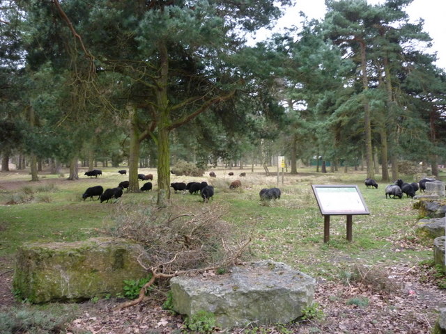
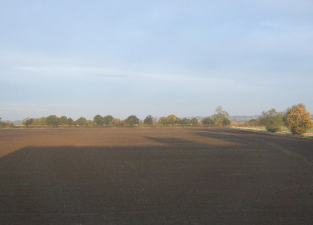
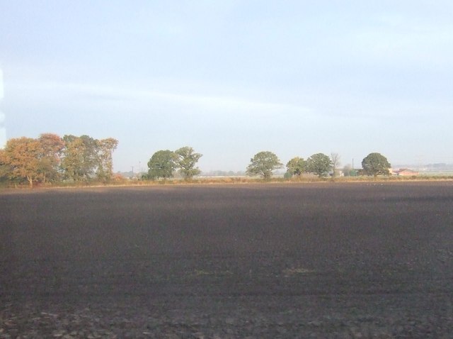
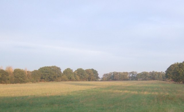
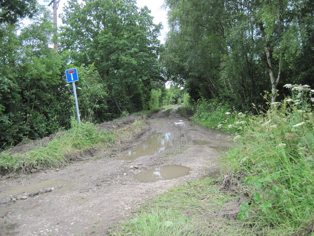
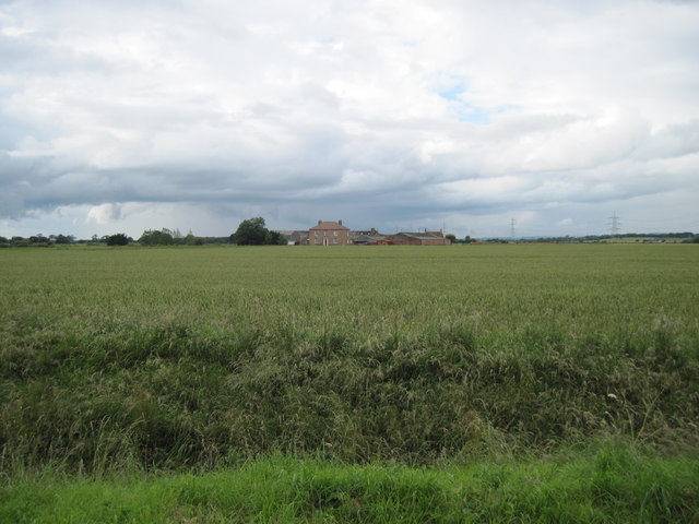
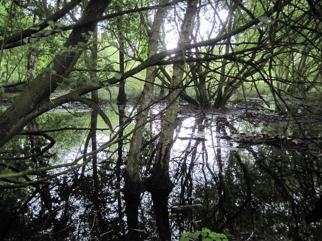
White Carr Nooking is a picturesque woodland located in the county of Yorkshire, England. Situated in the heart of the countryside, it is a haven for nature lovers and outdoor enthusiasts alike. The woodland, known for its dense and vibrant trees, covers an area of approximately 50 acres.
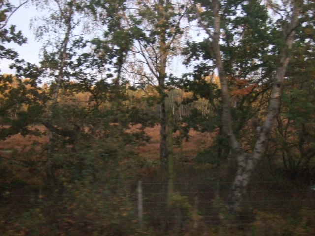
White Carr Nooking boasts a diverse range of tree species, including oak, beech, and birch, creating a rich and varied ecosystem. The forest floor is adorned with an array of wildflowers and ferns, adding to its natural beauty. The woodland is also home to various wildlife, including deer, foxes, and a wide variety of bird species.
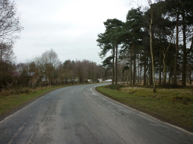
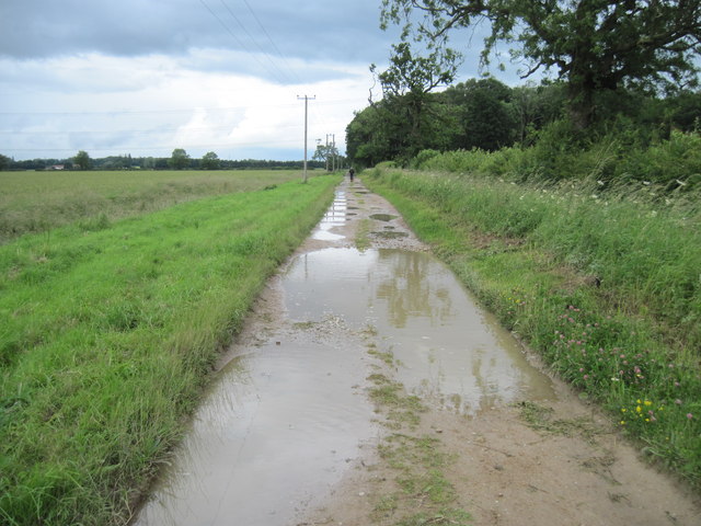
The woodland offers visitors numerous walking trails, allowing them to explore its tranquil surroundings at their own pace. These trails cater to different abilities, ranging from gentle strolls to more challenging hikes. Along the way, visitors can enjoy the calming sound of birdsong and the fresh scent of pine.
White Carr Nooking is a popular destination for nature photography enthusiasts, who are drawn to the stunning natural landscapes and the opportunity to capture unique shots of flora and fauna. The woodland also provides an excellent backdrop for picnics, where visitors can relax and immerse themselves in the peaceful ambiance.
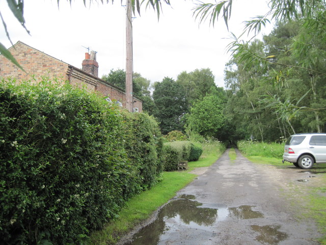
Overall, White Carr Nooking is a hidden gem in Yorkshire, offering a serene escape from the hustle and bustle of everyday life. It provides a perfect balance between tranquility and adventure, making it an ideal destination for those seeking a connection with nature.
If you have any feedback on the listing, please let us know in the comments section below.
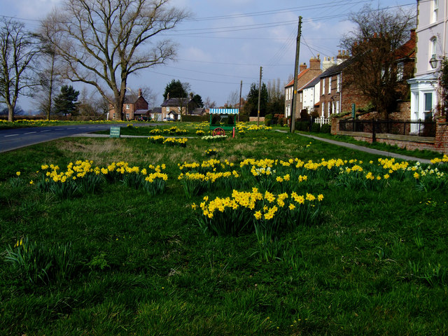
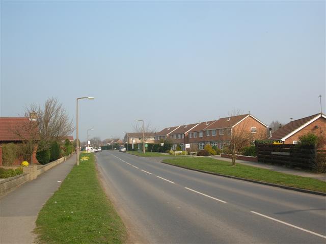
White Carr Nooking Images
Images are sourced within 2km of 54.039638/-0.99260661 or Grid Reference SE6660. Thanks to Geograph Open Source API. All images are credited.

White Carr Nooking is located at Grid Ref: SE6660 (Lat: 54.039638, Lng: -0.99260661)
Division: North Riding
Unitary Authority: York
Police Authority: North Yorkshire
What 3 Words
///presumes.conforms.stereos. Near Strensall, North Yorkshire
Nearby Locations
Related Wikis

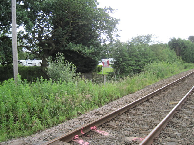
Strensall Common
Strensall Common is 1,430 acres (578.75 ha) of common land to the south-east of the village of Strensall, in the City of York, England. The land is recognised...

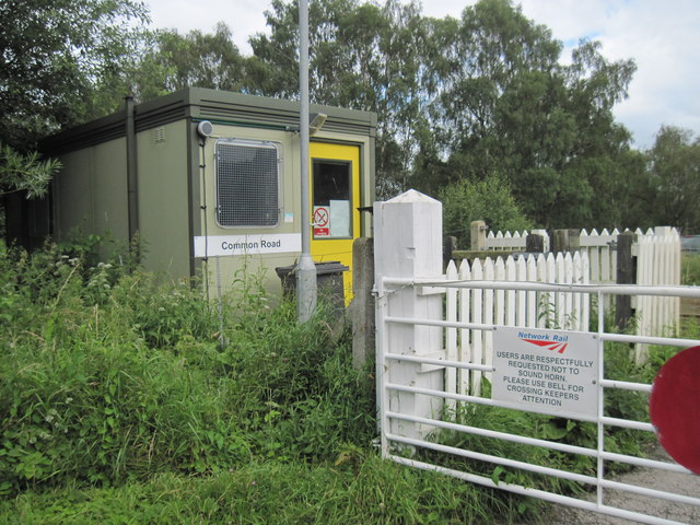
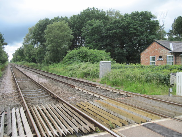
Strensall railway station
Strensall railway station was a minor railway station serving the village of Strensall in North Yorkshire, England. == History == It is situated on the...
Flaxton, North Yorkshire
Flaxton is a small village and civil parish in North Yorkshire, England. It is close to the A64 between York and Malton. The village lies entirely within...

A64 road
The A64 is a major road in North and West Yorkshire, England, which links Leeds, York and Scarborough. The A64 starts as the A64(M) ring road motorway...

Flaxton Rural District
Flaxton was a rural district in the North Riding of Yorkshire from 1894 to 1974. It was formed under the Local Government Act 1894 from the part of the...
Strensall
Strensall is a village in the Strensall with Towthorpe civil parish in the unitary authority of the City of York in North Yorkshire, England, on the River...

Flaxton railway station
Flaxton railway station was a railway station on the York to Scarborough Line serving the village of Flaxton, North Yorkshire, England. It was opened...

Strensall Halt railway station
Strensall Halt railway station was a minor railway station serving the village of Strensall in North Yorkshire, England. It was situated on the York to...
Nearby Amenities
Located within 500m of 54.039638,-0.99260661Have you been to White Carr Nooking?
Leave your review of White Carr Nooking below (or comments, questions and feedback).