Berinshill Wood
Wood, Forest in Oxfordshire South Oxfordshire
England
Berinshill Wood

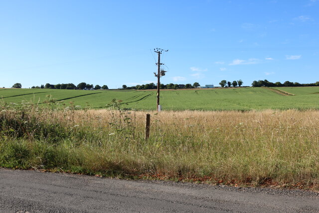
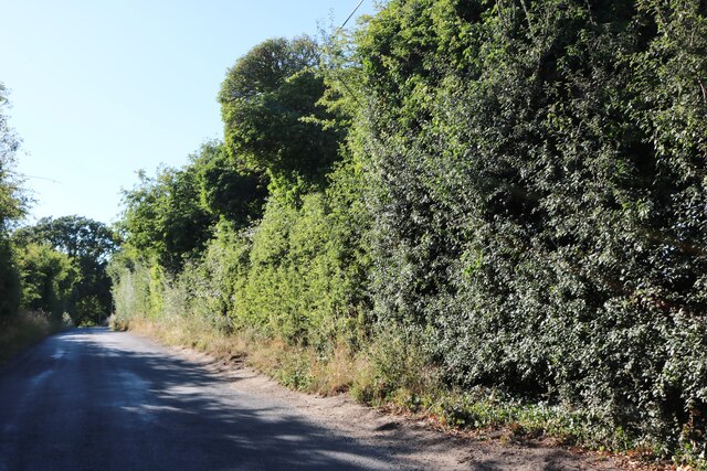
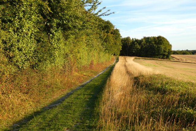
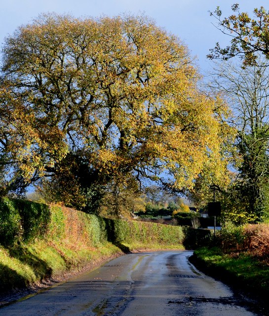
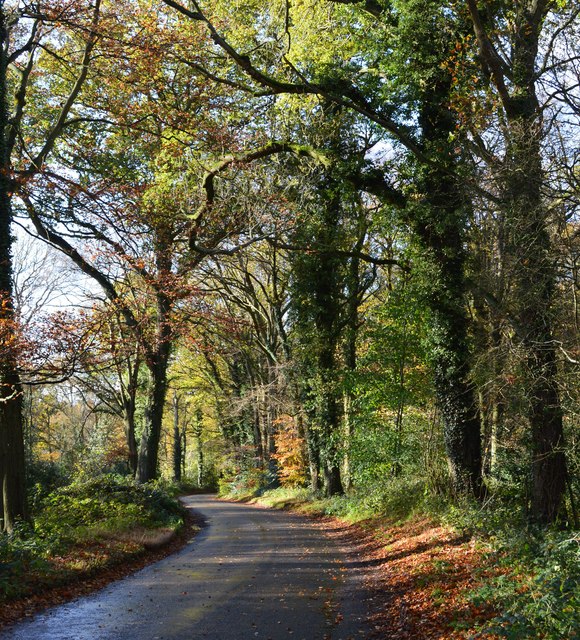
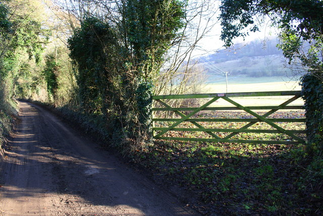
Berinshill Wood is a picturesque woodland located in Oxfordshire, England. Covering an area of approximately 50 acres, it is a popular destination for nature lovers and outdoor enthusiasts. The wood is characterized by its diverse range of trees, including oak, beech, and ash, creating a rich and vibrant ecosystem.
The woodland is home to a variety of wildlife, making it a haven for birdwatchers and nature photographers. Visitors may spot species such as woodpeckers, owls, and deer, adding to the enchanting atmosphere of the wood. The peaceful ambiance and tranquil surroundings make Berinshill Wood an ideal location for those seeking solitude and a break from the hustle and bustle of everyday life.
The wood offers several walking trails, allowing visitors to explore its beauty at their own pace. These well-maintained paths wind through the trees and provide breathtaking views of the surrounding countryside. Additionally, there are designated picnic areas where visitors can relax and enjoy a meal amidst nature.
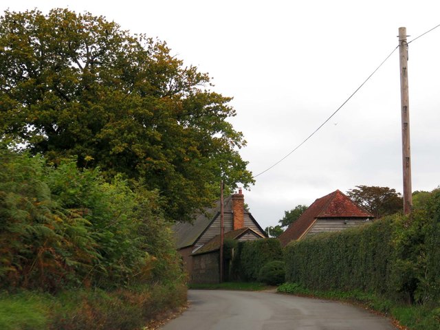
Berinshill Wood is easily accessible, with ample parking facilities available nearby. It is open to the public throughout the year, although certain areas may have restricted access during sensitive periods for wildlife preservation. Visitors are encouraged to respect the natural environment and adhere to any guidelines or rules set by the local authorities.
In conclusion, Berinshill Wood is a charming woodland in Oxfordshire renowned for its diverse flora and fauna. It offers a peaceful retreat for individuals seeking solace in nature and provides a unique opportunity to explore the beauty of the English countryside.
If you have any feedback on the listing, please let us know in the comments section below.
Berinshill Wood Images
Images are sourced within 2km of 51.560438/-1.0510639 or Grid Reference SU6585. Thanks to Geograph Open Source API. All images are credited.


Berinshill Wood is located at Grid Ref: SU6585 (Lat: 51.560438, Lng: -1.0510639)
Administrative County: Oxfordshire
District: South Oxfordshire
Police Authority: Thames Valley
What 3 Words
///minute.headed.series. Near Rotherfield Peppard, Oxfordshire
Nearby Locations
Related Wikis

Ipsden Heath
Ipsden Heath is a 32-acre (13-hectare) woodland in the English county of Oxfordshire, within the Chiltern Area of Outstanding Natural Beauty. == References ==

Warren Bank
Warren Bank is a 3.1-hectare (7.7-acre) biological Site of Special Scientific Interest south-east of Wallingford in Oxfordshire. It is managed by the Berkshire...

Checkendon
Checkendon is a village and civil parish about 6 miles (10 km) west of Henley-on-Thames in South Oxfordshire and about 9 miles (14 km) north west of Reading...
St Peter and St Paul, Checkendon
St Peter and St Paul is the Church of England parish church of Checkendon, a village in Oxfordshire, England. Its parish is part of the Deanery of Henley...
Ipsden
Ipsden is a village and civil parish in the Chiltern Hills in South Oxfordshire, about 3 miles (5 km) southeast of Wallingford. It is almost equidistant...

Braziers Park
Braziers Park is a Grade II* country house and estate on the edge of Ipsden - a small village near Wallingford, Oxfordshire, England - housing a secular...

Wood (festival)
Wood is an annual small early summer folk and roots music festival and environmental gathering, which takes place in Braziers Park, Ipsden near Wallingford...
Henley Rural District
Henley was a rural district in Oxfordshire, England from 1894 to 1974.It was named after the borough of Henley-on-Thames, which it surrounded on the west...
Related Videos

🇮🇳 MAHARAJAH'S WELL, Stoke Row (England)
In the centre of Stoke Row, high in the Chiltern Hills, is an incongruous sight, The Maharaja's Well. It's origin goes back to the ...

Oxfordshire 2.4 mile circular walk: Ipsden
Ipsden - Hailey - 2.4 mile circular walk Guided Walk: ...
Maharajah's Well #travel #strangerthings #england
THANKS TO THE KINDNESS OF both an Englishman and his Indian benefactor, the Maharajah's Well in Stoke Row, England ...

🇮🇳 MAHARAJAH'S WELL , Stoke Row (England) - A Traveller's Memoir
In the centre of Stoke Row, high in the Chiltern Hills, is an incongruous sight, The Maharaja's Well. It's origin goes back to the ...
Nearby Amenities
Located within 500m of 51.560438,-1.0510639Have you been to Berinshill Wood?
Leave your review of Berinshill Wood below (or comments, questions and feedback).