Fludger's Wood

Wood, Forest in Oxfordshire South Oxfordshire

England

Fludger's Wood

Remains of the Polish Village After WW2 there were a lot of displaced Polish people who needed somewhere to live. Old military buildings provided accommodation for a Polish community here up until the 1960s.
Abandoned buildings from that time can still be seen in the woods.
History on <span class="nowrap"><a title="https://www.polishresettlementcampsintheuk.co.uk/checkendon.htm" rel="nofollow ugc noopener" href="https://www.polishresettlementcampsintheuk.co.uk/checkendon.htm">Link</a><img style="margin-left:2px;" alt="External link" title="External link - shift click to open in new window" src="https://s1.geograph.org.uk/img/external.png" width="10" height="10"/></span>
Remains of the Polish Village Credit: Des Blenkinsopp

Fludger's Wood is a picturesque forest located in the Oxfordshire county of England. Spanning an area of approximately 500 acres, this woodland is known for its natural beauty and rich biodiversity. The wood is situated near the village of Fludger, hence the name.

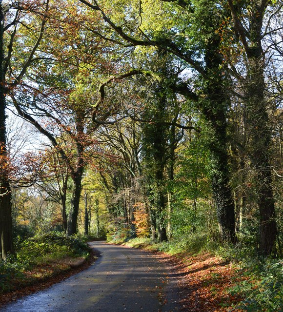
The forest is predominantly composed of deciduous trees, including oak, beech, and ash, which create a vibrant and colorful canopy during the autumn season. Within the wood, there are also several small streams and ponds that contribute to the diverse ecosystem. These water sources are home to a variety of aquatic life, including frogs, newts, and small fish.

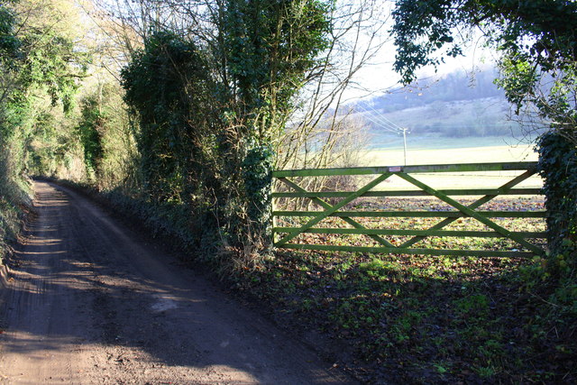
Fludger's Wood is a popular destination for nature enthusiasts and outdoor adventurers alike. The forest offers numerous walking and hiking trails, allowing visitors to explore its enchanting surroundings. Along these paths, one can encounter an array of wildlife, such as deer, squirrels, and a wide variety of bird species.

In addition to its natural appeal, the wood also has historical significance. It is believed to have been used by the local community for centuries, with evidence of human habitation dating back to ancient times. The forest has remained relatively undisturbed, creating a serene and tranquil atmosphere for those seeking solace in nature.

Overall, Fludger's Wood is a haven of natural beauty and a valuable ecological resource in Oxfordshire. Its combination of diverse flora, fauna, and historical significance make it a cherished destination for both locals and tourists seeking a connection with nature.

If you have any feedback on the listing, please let us know in the comments section below.

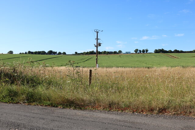
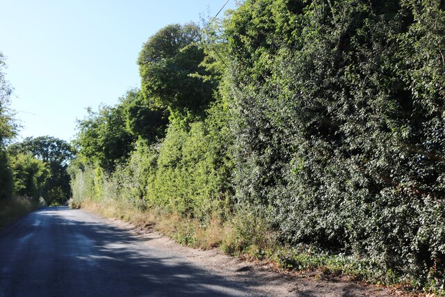
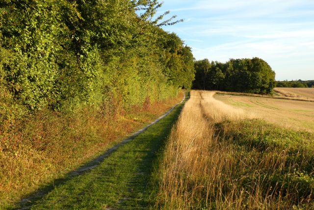
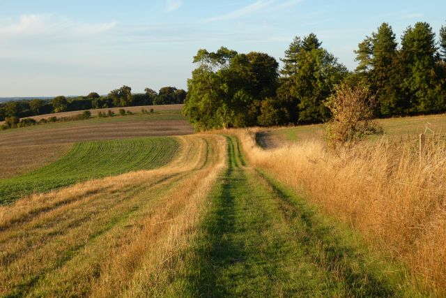
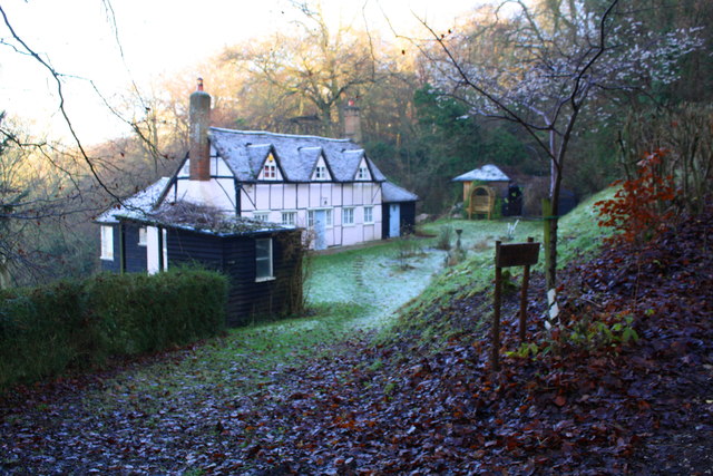
Fludger's Wood Images

Images are sourced within 2km of 51.567239/-1.0526104 or Grid Reference SU6585. Thanks to Geograph Open Source API. All images are credited.

Remains of the Polish Village After WW2 there were a lot of displaced Polish people who needed somewhere to live. Old military buildings provided accommodation for a Polish community here up until the 1960s.
Abandoned buildings from that time can still be seen in the woods.
History on <span class="nowrap"><a title="https://www.polishresettlementcampsintheuk.co.uk/checkendon.htm" rel="nofollow ugc noopener" href="https://www.polishresettlementcampsintheuk.co.uk/checkendon.htm">Link</a><img style="margin-left:2px;" alt="External link" title="External link - shift click to open in new window" src="https://s1.geograph.org.uk/img/external.png" width="10" height="10"/></span>
Remains of the Polish Village
After WW2 there were a lot of displaced Polish people who needed somewhere to live. Old military buildings provided accommodation for a Polish community here up until the 1960s. Abandoned buildings from that time can still be seen in the woods. History on LinkExternal link
Another Hut in the Woods Another one of the derelict buildings left over from WW2 which can still be seen in the woods round here. These were lived in up until the 1960s by community of Polish people displaced by the war.
History on <span class="nowrap"><a title="https://www.polishresettlementcampsintheuk.co.uk/checkendon.htm" rel="nofollow ugc noopener" href="https://www.polishresettlementcampsintheuk.co.uk/checkendon.htm">Link</a><img style="margin-left:2px;" alt="External link" title="External link - shift click to open in new window" src="https://s1.geograph.org.uk/img/external.png" width="10" height="10"/></span>
Another Hut in the Woods
Another one of the derelict buildings left over from WW2 which can still be seen in the woods round here. These were lived in up until the 1960s by community of Polish people displaced by the war. History on LinkExternal link
Kit Lane, Stoke Row
Kit Lane, Stoke Row
Field by Well Place Road, Hailey
Well Place Road, Hailey
Woods, track and farmland, Ipsden
Farmland, Ipsden
Farmland, Ipsden
Farmland, Ipsden Fields and woodland on the flank of Garson's Hill.
Farmland, Ipsden
Fields and woodland on the flank of Garson's Hill.
Pasture, Ipsden Paddocks at Well Place with Rowan Atkinson's house at Handsmooth not looking particularly attractive, but debatably not much worse than the one it replaced, in the background.
Pasture, Ipsden
Paddocks at Well Place with Rowan Atkinson's house at Handsmooth not looking particularly attractive, but debatably not much worse than the one it replaced, in the background.
Country lane, Ipsden, Oxfordshire
Barn at Poors Farm
Barn at Poors Farm
Walnut Tree Barn There is an OS benchmark <a href="https://www.geograph.org.uk/photo/2341251">SU6485 : Benchmark on wall by Walnut Tree Barn</a> on the brick wall just left of the house
Walnut Tree Barn
There is an OS benchmark SU6485 : Benchmark on wall by Walnut Tree Barn on the brick wall just left of the house
Garages at Hill Barn There is an OS benchmark <a href="https://www.geograph.org.uk/photo/2341803">SU6485 : Benchmark on the garage at Hill Farm</a> on the far left hand corner of the garage block
Garages at Hill Barn
There is an OS benchmark SU6485 : Benchmark on the garage at Hill Farm on the far left hand corner of the garage block
Gate to field from Urquhart Lane
View from field near Headlams towards Handsmooth House The large white house is Rowan Atkinson's residence
View from field near Headlams towards Handsmooth House
The large white house is Rowan Atkinson's residence
Berins Hill Cottage
Berins Hill Cottage
Benchmark on outbuilding at Ipsden Heath Farm Ordnance Survey cut mark benchmark described on the Bench Mark Database at <span class="nowrap"><a title="http://www.bench-marks.org.uk/bm81142" rel="nofollow ugc noopener" href="http://www.bench-marks.org.uk/bm81142">Link</a><img style="margin-left:2px;" alt="External link" title="External link - shift click to open in new window" src="https://s1.geograph.org.uk/img/external.png" width="10" height="10"/></span>
Benchmark on outbuilding at Ipsden Heath Farm
Ordnance Survey cut mark benchmark described on the Bench Mark Database at LinkExternal link
Outbuilding and greenhouse at Ipsden Heath Farm There is an OS benchmark <a href="https://www.geograph.org.uk/photo/5237526">SU6685 : Benchmark on outbuilding at Ipsden Heath Farm</a> on the right hand shrubbery-covered face of the outbuilding
Outbuilding and greenhouse at Ipsden Heath Farm
There is an OS benchmark SU6685 : Benchmark on outbuilding at Ipsden Heath Farm on the right hand shrubbery-covered face of the outbuilding
Show me another place!

Fludger's Wood is located at Grid Ref: SU6585 (Lat: 51.567239, Lng: -1.0526104)

Administrative County: Oxfordshire

District: South Oxfordshire

Police Authority: Thames Valley

What 3 Words

///feared.ambushes.writings. Near Wallingford, Oxfordshire

Related Wikis

Warren Bank

Warren Bank is a 3.1-hectare (7.7-acre) biological Site of Special Scientific Interest south-east of Wallingford in Oxfordshire. It is managed by the Berkshire...

Ipsden Heath

Ipsden Heath is a 32-acre (13-hectare) woodland in the English county of Oxfordshire, within the Chiltern Area of Outstanding Natural Beauty. == References ==

Nuffield, Oxfordshire

Nuffield is a village and civil parish in the Chiltern Hills in South Oxfordshire, England, just over 4 miles (6 km) east of Wallingford. The 2011 Census...

Ipsden

Ipsden is a village and civil parish in the Chiltern Hills in South Oxfordshire, about 3 miles (5 km) southeast of Wallingford. It is almost equidistant...

Henley Rural District

Henley was a rural district in Oxfordshire, England from 1894 to 1974.It was named after the borough of Henley-on-Thames, which it surrounded on the west...

Braziers Park

Braziers Park is a Grade II* country house and estate on the edge of Ipsden - a small village near Wallingford, Oxfordshire, England - housing a secular...

Wood (festival)

Wood is an annual small early summer folk and roots music festival and environmental gathering, which takes place in Braziers Park, Ipsden near Wallingford...

Checkendon

Checkendon is a village and civil parish about 6 miles (10 km) west of Henley-on-Thames in South Oxfordshire and about 9 miles (14 km) north west of Reading...

Nearby Amenities

Located within 500m of 51.567239,-1.0526104
Barrier: kissing_gate
Lat/Long: 51.5682821/-1.0456089
Barrier: stile
Lat/Long: 51.5677486/-1.0457377
Barrier: kissing_gate
Foot: yes
Lat/Long: 51.566249/-1.0507417
Barrier: kissing_gate
Foot: yes
Lat/Long: 51.5674955/-1.048651
The data included in this document is from www.openstreetmap.org. The data is made available under ODbL.

Have you been to Fludger's Wood?

Leave your review of Fludger's Wood below (or comments, questions and feedback).