Bromley Bank Wood
Wood, Forest in Yorkshire Ryedale
England
Bromley Bank Wood
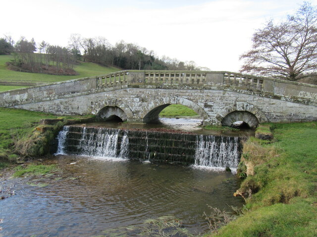
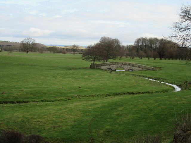
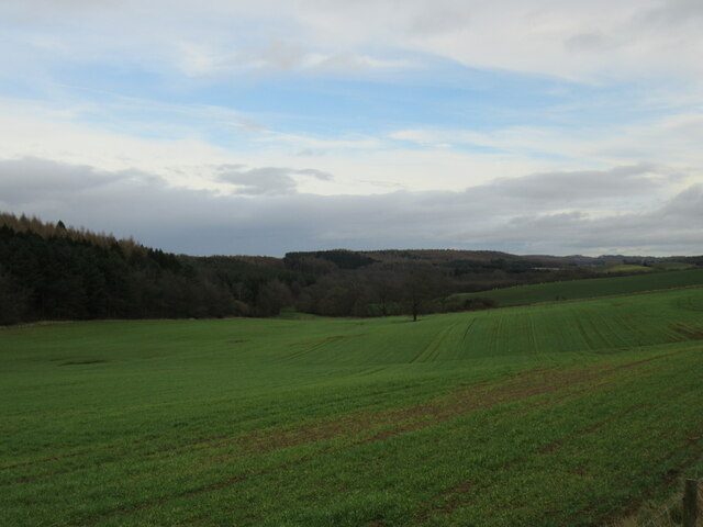
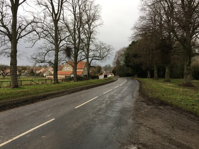
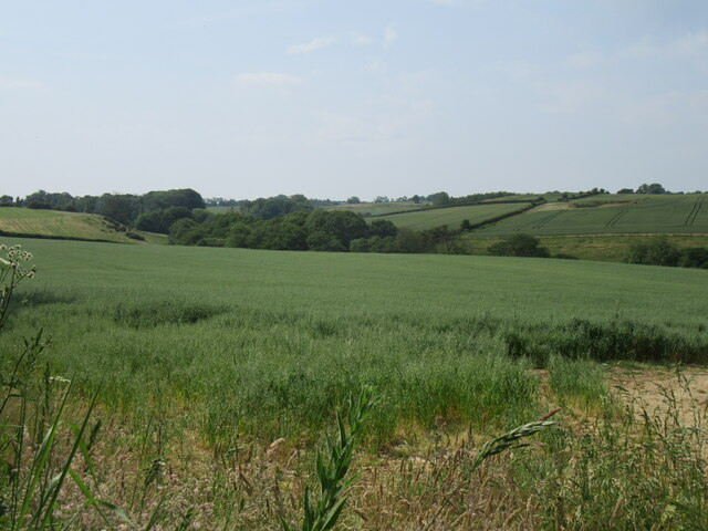
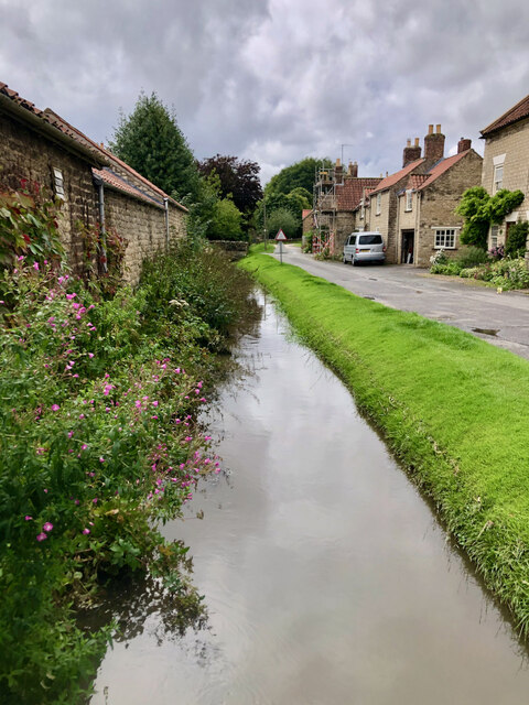
Bromley Bank Wood, located in Yorkshire, is a picturesque woodland that spans over a vast area. With its lush greenery and diverse wildlife, it offers a tranquil retreat for nature enthusiasts and hikers. The wood is situated in a rural area, surrounded by rolling hills and countryside, providing a serene environment for visitors.
The wood is predominantly composed of various tree species, including oak, ash, birch, and beech. These majestic trees provide ample shade and contribute to the vibrant ecosystem within the wood. Additionally, the forest floor is adorned with an array of wildflowers, adding bursts of color to the landscape during the spring and summer months.
Bromley Bank Wood is also home to a diverse range of wildlife. Visitors may spot various bird species such as woodpeckers, owls, and thrushes, as well as small mammals like squirrels, rabbits, and voles. The wood provides a safe haven for these creatures, making it an ideal spot for birdwatching and wildlife observation.
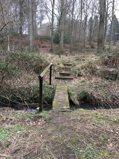
For outdoor enthusiasts, Bromley Bank Wood offers numerous walking trails and paths, allowing visitors to explore the wood at their own pace. The trails wind through the woodland, offering breathtaking views of the surrounding countryside and providing opportunities for peaceful contemplation.
Overall, Bromley Bank Wood is a haven of tranquility and natural beauty. Whether seeking a quiet stroll, an escape from the bustling city life, or a chance to immerse oneself in nature, this wood in Yorkshire offers an idyllic setting for all.
If you have any feedback on the listing, please let us know in the comments section below.
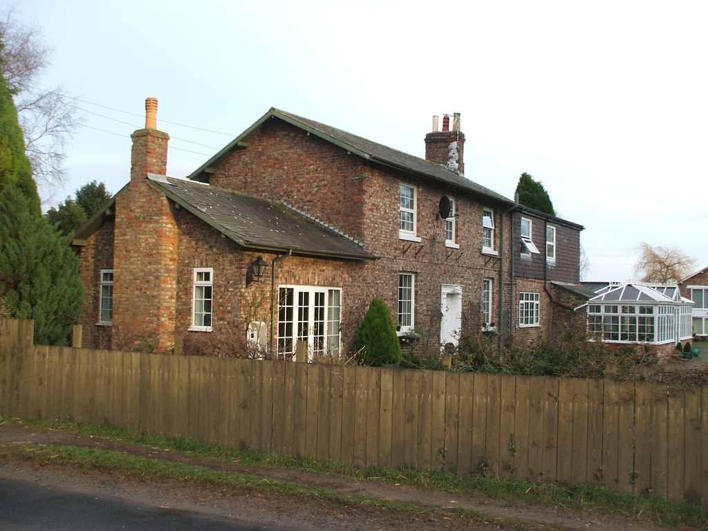
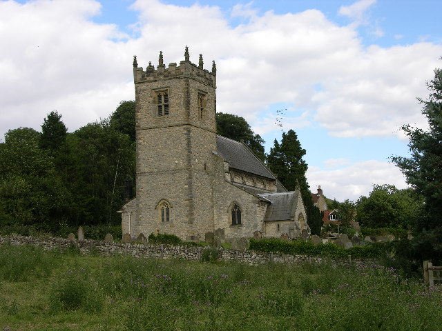
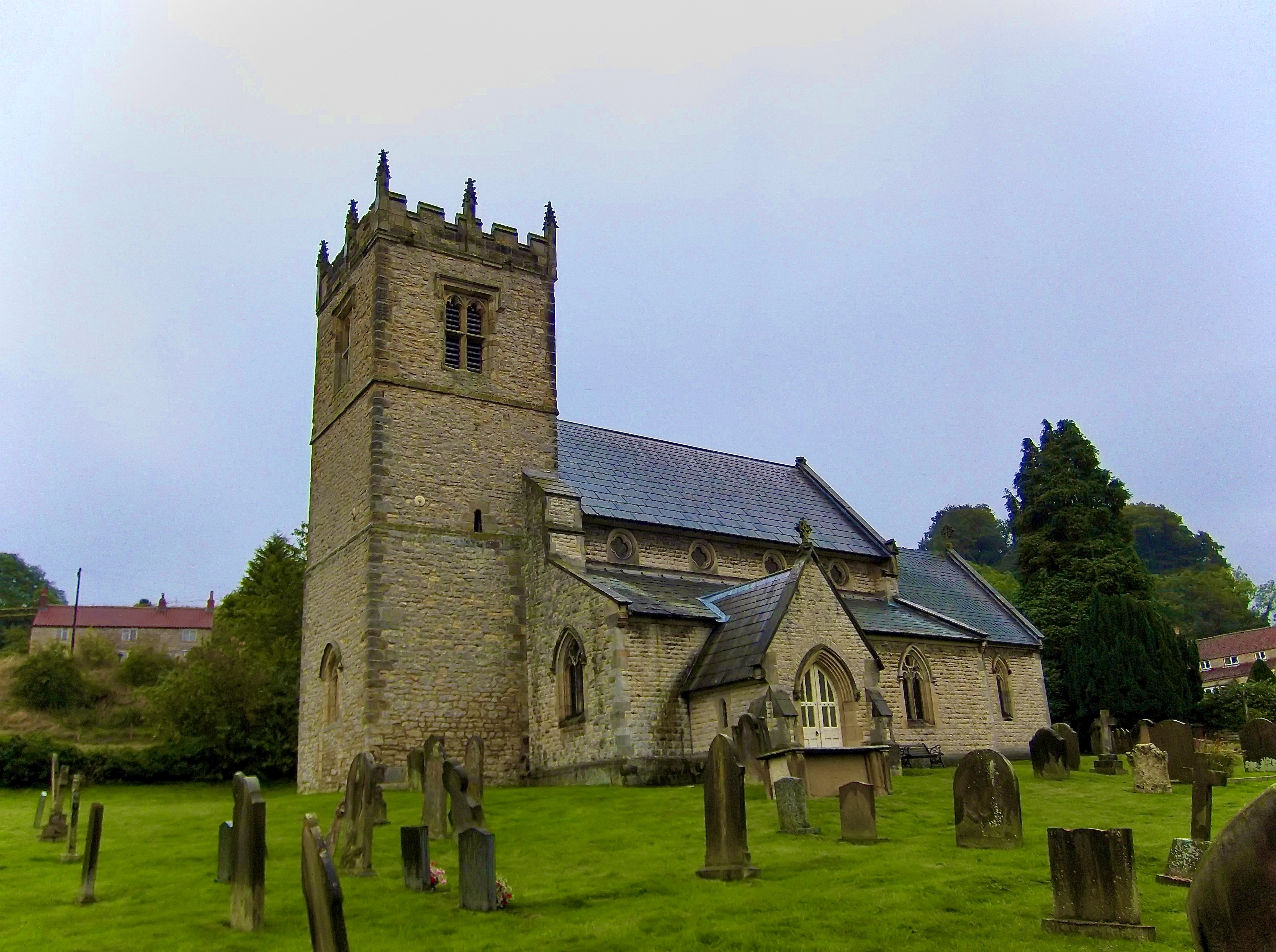
Bromley Bank Wood Images
Images are sourced within 2km of 54.170732/-0.99751297 or Grid Reference SE6575. Thanks to Geograph Open Source API. All images are credited.


Bromley Bank Wood is located at Grid Ref: SE6575 (Lat: 54.170732, Lng: -0.99751297)
Division: North Riding
Administrative County: North Yorkshire
District: Ryedale
Police Authority: North Yorkshire
What 3 Words
///broadens.hedgehog.engineers. Near Sheriff Hutton, North Yorkshire
Nearby Locations
Related Wikis

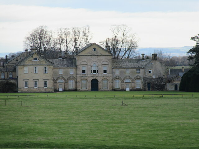
Hovingham Hall
Hovingham Hall is a country house built in the Palladian style in the village of Hovingham, North Yorkshire, England. It has been the seat of the Worsley...

Hovingham
Hovingham is a large village and civil parish in the Ryedale district of North Yorkshire, England. It is on the edge of the Howardian Hills and about 7...
Hovingham railway station
Hovingham Spa railway station was located just north of the village of Hovingham in the Ryedale area of North Yorkshire, England and opened in 1853. Regular...

Cawton
Cawton is a village and civil parish in North Yorkshire, England, about ten miles west of Malton. According to the 2001 census it had a population of...

Coulton, North Yorkshire
Coulton is a village and civil parish in the Ryedale district of North Yorkshire, England, it is about 6 miles (9.7 km) south of Helmsley. == History... ==

Wath, Ryedale
Wath is a small hamlet in the civil parish of Hovingham, in North Yorkshire, England. It is situated at the northern edge of the Howardian Hills AONB,...
Stonegrave
Stonegrave is a village and civil parish in the Ryedale district of North Yorkshire, England. At the 2011 Census the population was less than 100 and so...
Stonegrave Minster
Stonegrave Minster, also known as the Holy Trinity parish church, is a church in Stonegrave, North Yorkshire, England. It is known for the heraldry adorned...
Nearby Amenities
Located within 500m of 54.170732,-0.99751297Have you been to Bromley Bank Wood?
Leave your review of Bromley Bank Wood below (or comments, questions and feedback).