Horse Coppice
Wood, Forest in Yorkshire Ryedale
England
Horse Coppice
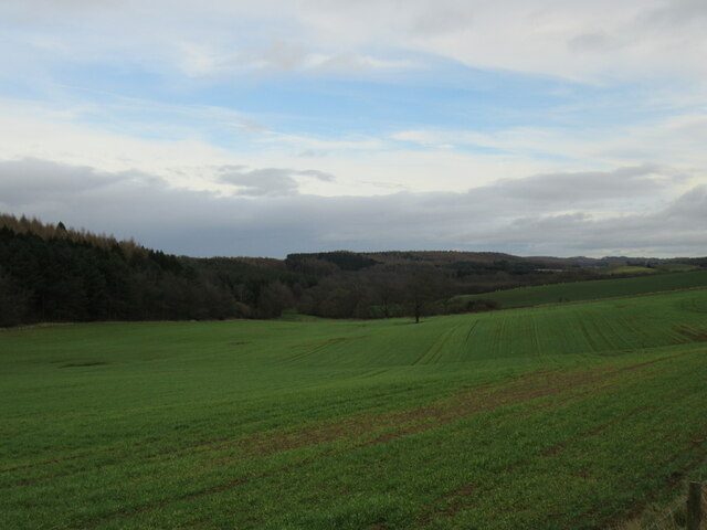
Horse Coppice, located in Yorkshire, is a picturesque woodland area known for its natural beauty and rich biodiversity. Covering an expansive area, it is considered one of the largest woodlands in the region. The forest is characterized by its dense canopy of mature trees, including various species such as oak, beech, and birch.
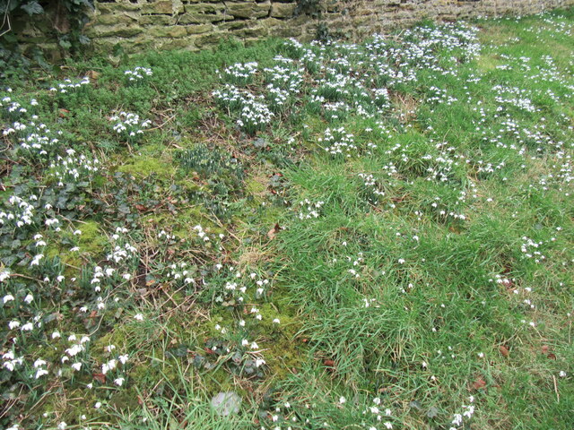
The woodland boasts a diverse range of flora and fauna, making it a haven for nature enthusiasts and wildlife lovers. The forest floor is adorned with vibrant wildflowers, ferns, and mosses, creating a colorful carpet beneath the towering trees. As visitors explore the forest, they may encounter a wide variety of wildlife, including deer, foxes, badgers, and numerous bird species.
Horse Coppice offers a multitude of walking trails and pathways, allowing visitors to explore the forest at their own pace. The well-maintained footpaths guide visitors through the heart of the woodland, offering breathtaking views and opportunities for peaceful reflection. Along the way, informative signposts provide interesting facts about the flora and fauna that call Horse Coppice their home.
The woodland also serves as an important habitat for several endangered species, making it a site of conservation significance. Conservation efforts are in place to ensure the protection and preservation of this natural gem, allowing future generations to enjoy its beauty.
In summary, Horse Coppice is a stunning woodland in Yorkshire, offering a serene escape from the hustle and bustle of everyday life. With its diverse ecosystem and enchanting trails, it provides a perfect opportunity to reconnect with nature and experience the tranquility of the forest.
If you have any feedback on the listing, please let us know in the comments section below.
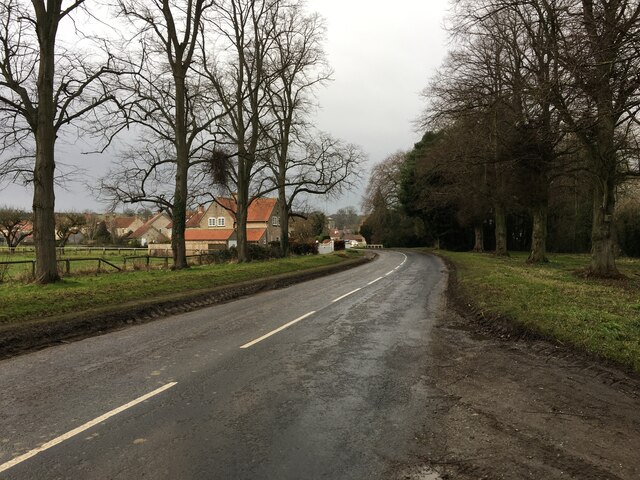
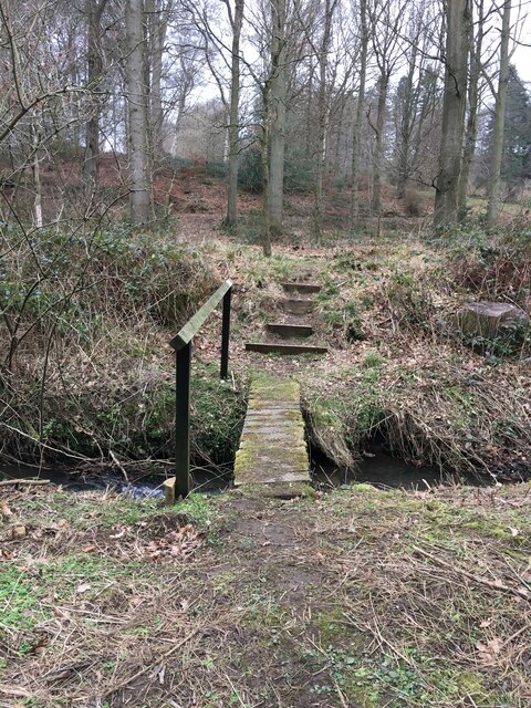
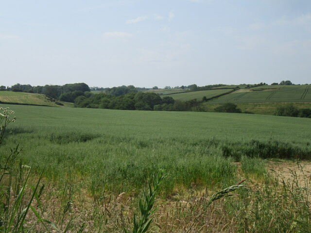
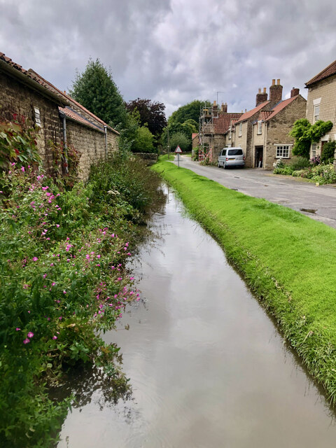
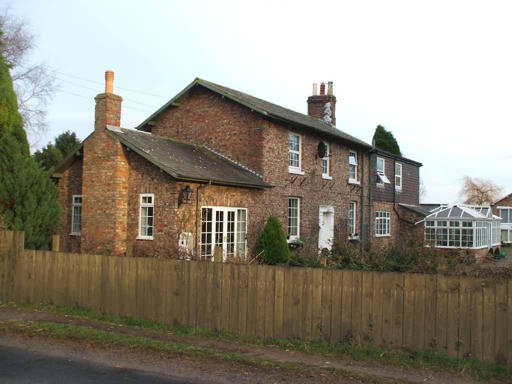
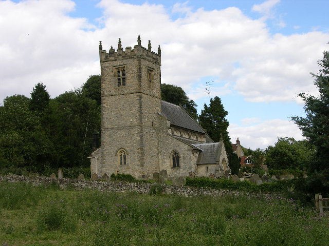
Horse Coppice Images
Images are sourced within 2km of 54.166893/-1.0006998 or Grid Reference SE6575. Thanks to Geograph Open Source API. All images are credited.


Horse Coppice is located at Grid Ref: SE6575 (Lat: 54.166893, Lng: -1.0006998)
Division: North Riding
Administrative County: North Yorkshire
District: Ryedale
Police Authority: North Yorkshire
What 3 Words
///arrive.momentous.shuffle. Near Sheriff Hutton, North Yorkshire
Nearby Locations
Related Wikis

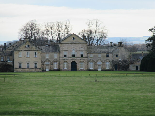
Hovingham Hall
Hovingham Hall is a country house built in the Palladian style in the village of Hovingham, North Yorkshire, England. It has been the seat of the Worsley...

Hovingham
Hovingham is a large village and civil parish in the Ryedale district of North Yorkshire, England. It is on the edge of the Howardian Hills and about 7...

Coulton, North Yorkshire
Coulton is a village and civil parish in the Ryedale district of North Yorkshire, England, it is about 6 miles (9.7 km) south of Helmsley. == History... ==

Cawton
Cawton is a village and civil parish in North Yorkshire, England, about ten miles west of Malton. According to the 2001 census it had a population of...
Hovingham railway station
Hovingham Spa railway station was located just north of the village of Hovingham in the Ryedale area of North Yorkshire, England and opened in 1853. Regular...

Scackleton
Scackleton is a village and civil parish in the Ryedale district of North Yorkshire, England. It is in the Howardian Hills and 2 miles (3.2 km) south-west...

Wath, Ryedale
Wath is a small hamlet in the civil parish of Hovingham, in North Yorkshire, England. It is situated at the northern edge of the Howardian Hills AONB,...
Stonegrave
Stonegrave is a village and civil parish in the Ryedale district of North Yorkshire, England. At the 2011 Census the population was less than 100 and so...
Nearby Amenities
Located within 500m of 54.166893,-1.0006998Have you been to Horse Coppice?
Leave your review of Horse Coppice below (or comments, questions and feedback).