Hilliar's Copse
Wood, Forest in Hampshire Basingstoke and Deane
England
Hilliar's Copse
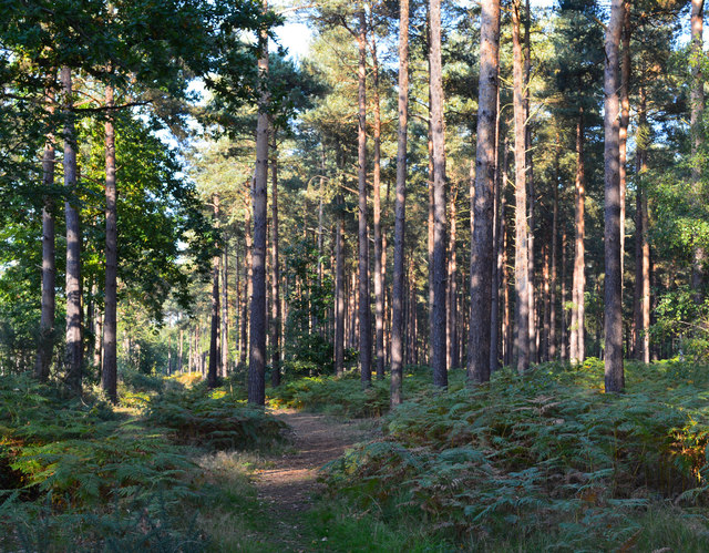
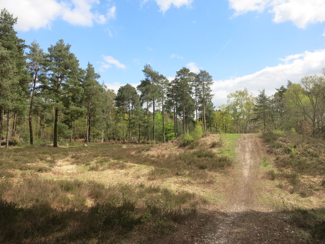
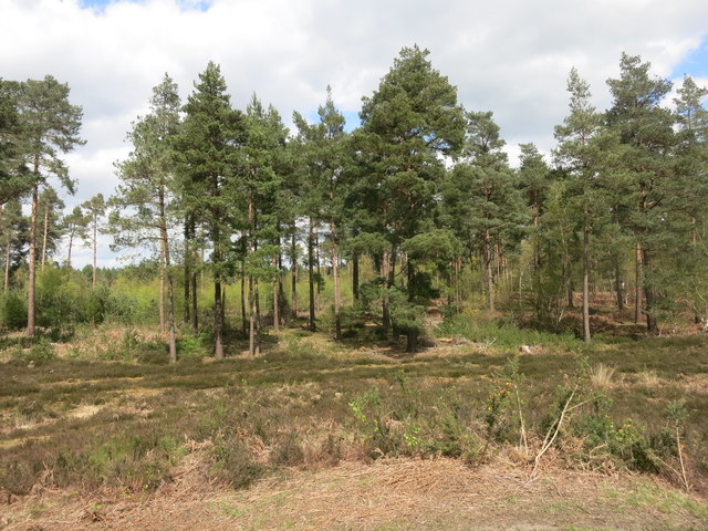
Hilliar's Copse, located in Hampshire, England, is a picturesque wood that covers an area of approximately 20 acres. This enchanting forest is a popular destination for nature lovers and outdoor enthusiasts, offering a tranquil and serene atmosphere.
The copse, situated on the outskirts of a small village, is characterized by its dense canopy of towering trees, primarily consisting of oak and beech. These majestic trees provide a haven for various species of birds and woodland animals, making it a haven for wildlife enthusiasts and birdwatchers alike.
A network of well-maintained footpaths winds its way through the copse, allowing visitors to explore the beauty of the forest at their own pace. These pathways lead to several secluded clearings, perfect for picnics or simply immersing oneself in the peaceful surroundings.
Hilliar's Copse boasts an impressive array of flora, with an abundance of wildflowers, ferns, and mosses adorning the forest floor. During the spring and summer months, the copse comes alive with vibrant colors, as bluebells, primroses, and foxgloves bloom, creating a stunning spectacle.
The copse also holds historical significance, as it was once part of a larger ancient woodland that existed centuries ago. This connection to the past adds an extra layer of intrigue and charm to Hilliar's Copse, making it a fascinating destination for history enthusiasts and those interested in Britain's natural heritage.
Overall, Hilliar's Copse in Hampshire offers a delightful escape from the hustle and bustle of modern life. With its picturesque scenery, diverse wildlife, and rich history, it is a place where visitors can reconnect with nature and experience the beauty of the English countryside.
If you have any feedback on the listing, please let us know in the comments section below.
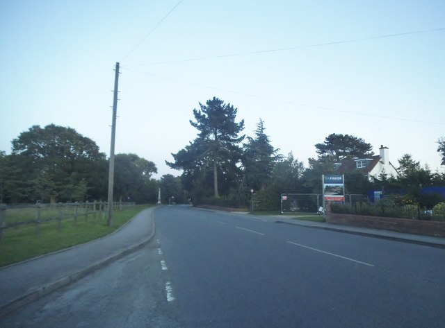
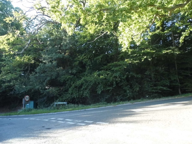
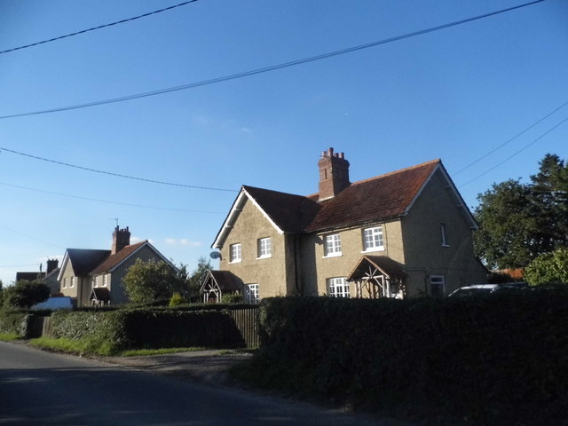
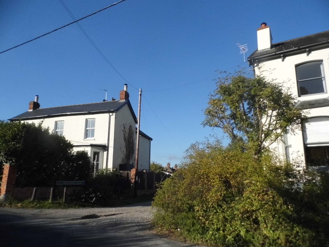
Hilliar's Copse Images
Images are sourced within 2km of 51.366721/-1.0602437 or Grid Reference SU6563. Thanks to Geograph Open Source API. All images are credited.
Hilliar's Copse is located at Grid Ref: SU6563 (Lat: 51.366721, Lng: -1.0602437)
Administrative County: Hampshire
District: Basingstoke and Deane
Police Authority: Hampshire
What 3 Words
///spoiled.maddening.deciding. Near Stratfield Mortimer, Berkshire
Nearby Locations
Related Wikis

West End Brook
West End Brook is a small stream in southern England. It rises near the Hampshire village of Tadley. Its name is probably related to the parish, and village...

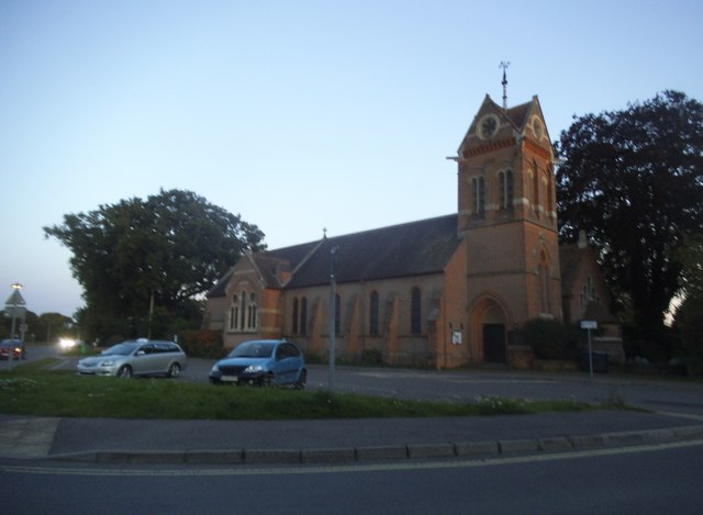
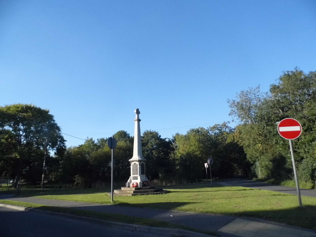
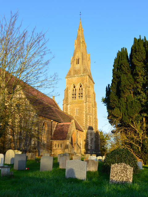
Mortimer War Memorial
The Mortimer War Memorial is a monument that commemorates the lives of soldiers from Stratfield Mortimer, Berkshire, England, who were killed in war....

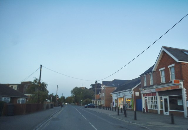
Mortimer Common
Mortimer Common, generally referred to as Mortimer, is a village in the civil parish of Stratfield Mortimer in Berkshire. Mortimer is in the local government...

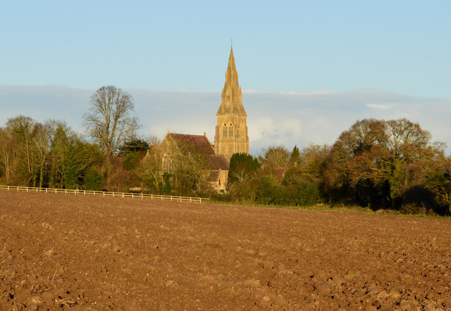
Stratfield Mortimer
Stratfield Mortimer is a village and civil parish, just south of Reading, in the English county of Berkshire and unitary authority area of West Berkshire...
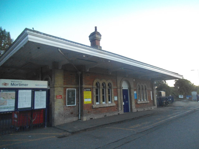
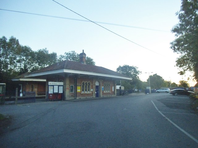
Mortimer railway station
Mortimer railway station is a railway station in the village of Stratfield Mortimer in the county of Berkshire in England. It is 43 miles 14 chains (69...

Calleva Atrebatum
Calleva Atrebatum ("Calleva of the Atrebates") was an Iron Age oppidum, the capital of the Atrebates tribe. It then became a walled town in the Roman province...

Roman road from Silchester to Bath
The Roman road from Silchester to Bath connected Calleva Atrebatum (Silchester) with Aquae Sulis (Bath) via Spinae (Speen), Cunetio (near Marlborough)...

Mortimer West End
Mortimer West End is a village and civil parish in north Hampshire in England. It lies in the northernmost point of the county. == History == At one time...
Related Videos

A visit to Roman town of Silchester with walls and amphitheatre tour, Hampshire, UK.
An extended tour of the Silchester Roman town site looking at the walls on the northern side, the north gate and the amphitheatre.
WALKS IN HAMPSHIRE at SILCHESTER & CALLEVA ATREBATUM (ROMAN TOWN) (4K)
In this episode of my series “ Walks in Hampshire”, I take a 4.5 mile “circular” walk at Silchester & Calleva Atrebatum (the site of a ...

#33 Rob's Hampshire Pub Walks: Silchester (The Calleva Atrebatum Walk ) 3 Miles Approx
One of my extremely historic Hampshire Walks. Follow in the footsteps of Roman Legionnaires, step into the 7000 seater ...

2024 04 16 MortimerChurch StationAsMP4
Mortimer Church, Hampshire, UK. Alpacas Walking Event - farm south-east of Mortimer Railway Station.
Nearby Amenities
Located within 500m of 51.366721,-1.0602437Have you been to Hilliar's Copse?
Leave your review of Hilliar's Copse below (or comments, questions and feedback).