Adrian's Spinney

Wood, Forest in Leicestershire Harborough

England

Adrian's Spinney

Leicester Airport: aerial 2021
Leicester Airport: aerial 2021 Credit: Chris

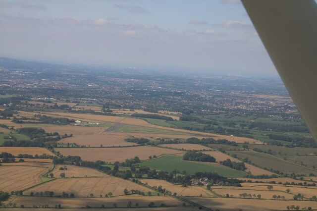
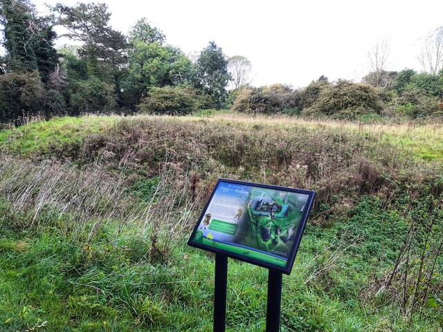
Adrian's Spinney is a small woodland located in Leicestershire, England. Situated within the heart of the county, it is a picturesque area known for its natural beauty and tranquility. The Spinney is part of a larger forested area and covers an estimated area of approximately 10 acres.

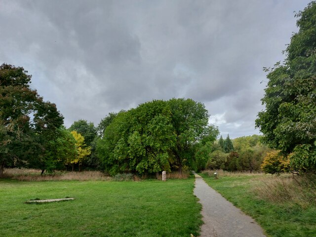
The woodland is predominantly composed of a variety of native tree species, including oak, beech, and birch. These trees provide a dense canopy cover, creating a shaded and cool environment within the Spinney. The forest floor is covered with a thick layer of leaf litter, moss, and ferns, adding to the overall lushness of the area.

Adrian's Spinney is a haven for wildlife, attracting a diverse array of species. Birdwatchers can spot a range of birds such as woodpeckers, owls, and thrushes, while small mammals like foxes, squirrels, and rabbits are also commonly sighted. The woodland's proximity to other natural habitats, such as meadows and wetlands, further enhances its appeal to a variety of wildlife.

The Spinney is a popular destination for nature lovers and outdoor enthusiasts. It offers several walking trails that meander through the woodland, allowing visitors to fully immerse themselves in its beauty. The peaceful and serene atmosphere makes it an ideal spot for relaxation, picnics, and photography.

Managed by the local authorities, Adrian's Spinney is well-maintained, ensuring its preservation for future generations to enjoy. The woodland serves as an important green space within the community, providing a place for residents and visitors alike to connect with nature and appreciate the natural heritage of Leicestershire.

If you have any feedback on the listing, please let us know in the comments section below.

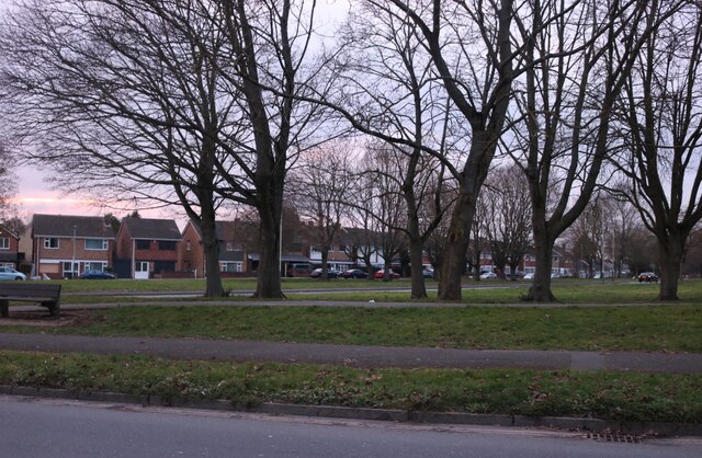
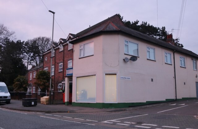
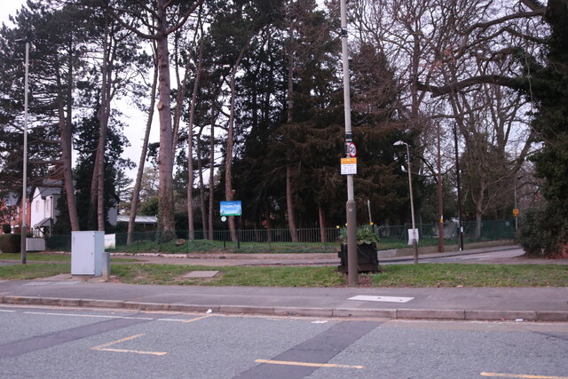
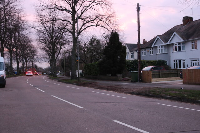
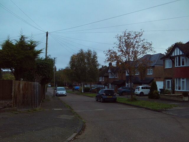
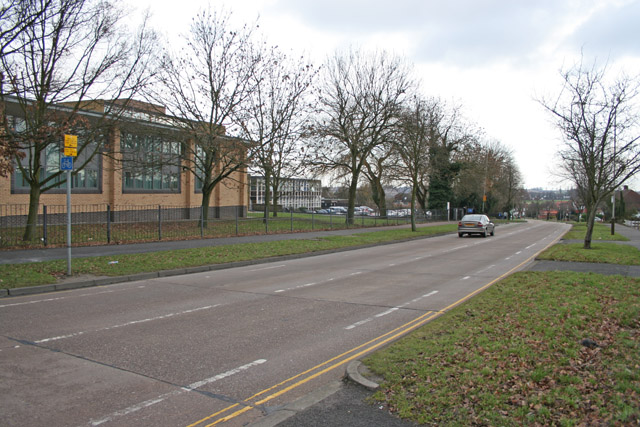
Adrian's Spinney Images

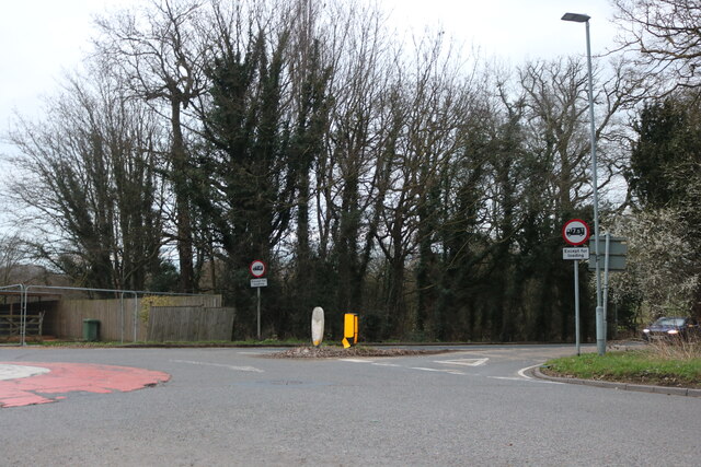
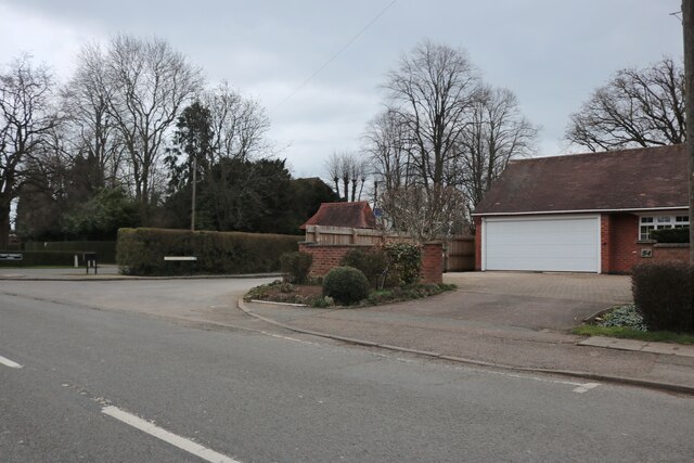
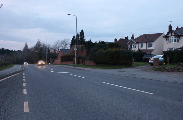
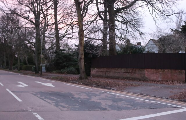
Images are sourced within 2km of 52.6142/-1.0574719 or Grid Reference SK6302. Thanks to Geograph Open Source API. All images are credited.

Leicester Airport: aerial 2021
Shady Lane Arboretum The site used to be occupied by a camp built to house the 82nd American Airbourne Division prior to the D-Day landings, and later used for prisoners of war <span class="nowrap"><a title="https://www.parksandgardens.org/places/shady-lane-arboretum" rel="nofollow ugc noopener" href="https://www.parksandgardens.org/places/shady-lane-arboretum">Link</a><img style="margin-left:2px;" alt="External link" title="External link - shift click to open in new window" src="https://s1.geograph.org.uk/img/external.png" width="10" height="10"/></span>
Shady Lane Arboretum
The site used to be occupied by a camp built to house the 82nd American Airbourne Division prior to the D-Day landings, and later used for prisoners of war LinkExternal link
Gartree (Roman) Road approaching Leicester from the south-east The Roman road 'Via Devana'
Gartree (Roman) Road approaching Leicester from the south-east
The Roman road 'Via Devana'
Gartree Road passing the footpath to Oadby Lodge Farm
Roundabout at the end of Stoughton Road, Oadby Gartree Road is on the right. This is the edge of the Leicester urban area.
Roundabout at the end of Stoughton Road, Oadby
Gartree Road is on the right. This is the edge of the Leicester urban area.
Stoughton Road, Oadby
Thurnby Hill
Thurnby Hill
Spencefield Lane, Evington
Park by Spencefield Lane, Evington Looking towards Goodwood Road
Park by Spencefield Lane, Evington
Looking towards Goodwood Road
Converted shop on Main Street, Evington On the corner of Evington Mews
Converted shop on Main Street, Evington
On the corner of Evington Mews
Evington Park From Main Street
Evington Park
From Main Street
Spencefield Lane, Evington
Houses on Spencefield Lane, Evington
New houses on Stoughton Road, Oadby
Piggy's Hollow, Evington Piggy's Hollow is a medieval moated site with fishponds situated just west of the church at Evington near Leicester. It is one of the best surviving examples of this type of site in Leicestershire. It has rare association with several large fishponds, and good documentary evidence regarding its historical beginings.
Scheduled Monument (1010686): <span class="nowrap"><a title="https://historicengland.org.uk/listing/the-list/list-entry/1010686" rel="nofollow ugc noopener" href="https://historicengland.org.uk/listing/the-list/list-entry/1010686">Link</a><img style="margin-left:2px;" alt="External link" title="External link - shift click to open in new window" src="https://s1.geograph.org.uk/img/external.png" width="10" height="10"/></span>
Piggy's Hollow, Evington
Piggy's Hollow is a medieval moated site with fishponds situated just west of the church at Evington near Leicester. It is one of the best surviving examples of this type of site in Leicestershire. It has rare association with several large fishponds, and good documentary evidence regarding its historical beginings. Scheduled Monument (1010686): LinkExternal link
Delaware Road, Evington (1) Seen from the end of Bathurst Road.
Delaware Road, Evington (1)
Seen from the end of Bathurst Road.
Sedgebrook Road, Evington At its junction with Delaware Road (left).
Sedgebrook Road, Evington
At its junction with Delaware Road (left).
Show me another place!

Adrian's Spinney is located at Grid Ref: SK6302 (Lat: 52.6142, Lng: -1.0574719)

Administrative County: Leicestershire

District: Harborough

Police Authority: Leicestershire

What 3 Words

///entry.rails.depend. Near Oadby, Leicestershire

Related Wikis

Nearby Amenities

Located within 500m of 52.6142,-1.0574719
Bus Stop
St Mary's Church
Alt Name: Stoughton - Church Lane
Bus: yes
Naptan AltCommonName: Stoughton - Church Lane
Naptan AtcoCode: 260024800
Naptan Bearing: NW
Naptan CommonName: St Mary's Church
Naptan Indicator: outside
Naptan Landmark: 6 Church Lane
Naptan NaptanCode: leijpawd
Naptan Notes: Non-Hourly - County
Naptan Street: Church Lane
Naptan Verified: no
Public Transport: platform
Shelter: no
Source: naptan_import
Lat/Long: 52.6135653/-1.0552127
St Mary's Church
Naptan AtcoCode: 260024801
Naptan Bearing: S
Naptan BusStopType: CUS
Naptan CommonName: St Mary's Church
Naptan Indicator: opposite
Naptan Landmark: 6 Church Lane
Naptan NaptanCode: leijpawg
Naptan Notes: Non-Hourly - County
Naptan Street: Church Lane
Naptan Verified: no
Source: naptan_import
Lat/Long: 52.6137076/-1.0550177
Source: Bing
Traffic Calming: yes
Lat/Long: 52.6138749/-1.0528409
The data included in this document is from www.openstreetmap.org. The data is made available under ODbL.

Have you been to Adrian's Spinney?

Leave your review of Adrian's Spinney below (or comments, questions and feedback).