Breaches Copse
Wood, Forest in Hampshire
England
Breaches Copse

Breaches Copse, located in Hampshire, England, is a picturesque woodland area known for its natural beauty and diverse wildlife. Covering an approximate area of 100 acres, this enchanting forest is a popular destination for nature enthusiasts and hikers alike.
The copse is characterized by its dense foliage, comprising a mix of deciduous and evergreen trees, including oak, beech, and birch. These towering trees create a captivating canopy that provides shade and shelter to a wide range of animals and plants. The forest floor is covered with a rich carpet of mosses, ferns, and wildflowers, creating a vibrant and colorful undergrowth.
One of the highlights of Breaches Copse is its extensive network of walking trails. These well-maintained paths allow visitors to explore the woodland at their own pace, immersing themselves in the peaceful ambiance of nature. Along the way, walkers may encounter various species of birds, such as woodpeckers and songbirds, as well as glimpses of small mammals like squirrels and rabbits.
Breaches Copse also boasts a tranquil stream, meandering through its heart. This babbling brook not only adds to the visual appeal of the woodland but also provides a habitat for aquatic creatures, including frogs and small fish.
Due to its ecological significance, Breaches Copse has been designated as a Site of Special Scientific Interest (SSSI). It serves as a valuable habitat for several protected and rare species, making it an important conservation area.
Overall, Breaches Copse offers a serene and captivating woodland experience, inviting visitors to connect with nature and appreciate the wonders of Hampshire's natural landscape.
If you have any feedback on the listing, please let us know in the comments section below.
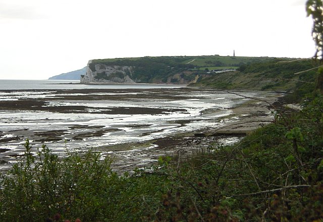
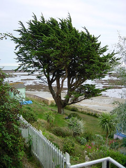
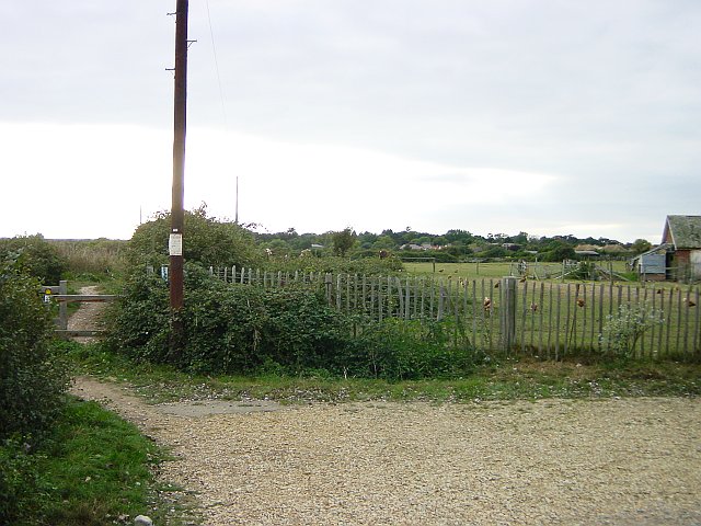
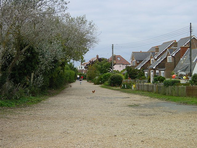
Breaches Copse Images
Images are sourced within 2km of 50.67451/-1.0968738 or Grid Reference SZ6386. Thanks to Geograph Open Source API. All images are credited.


Breaches Copse is located at Grid Ref: SZ6386 (Lat: 50.67451, Lng: -1.0968738)
Unitary Authority: Isle of Wight
Police Authority: Hampshire
What 3 Words
///stowing.tests.stews. Near Bembridge, Isle of Wight
Nearby Locations
Related Wikis

Bembridge School And Cliffs SSSI
Bembridge School And Cliffs SSSI (grid reference ST647869) is a 12.58 hectare geological Site of Special Scientific Interest near Bembridge on the Isle...
Steynewood Battery
Steynewood Battery (map reference SZ641869) is a battery located between Bembridge and Whitecliff Bay on the Isle of Wight, England. It is one of the many...
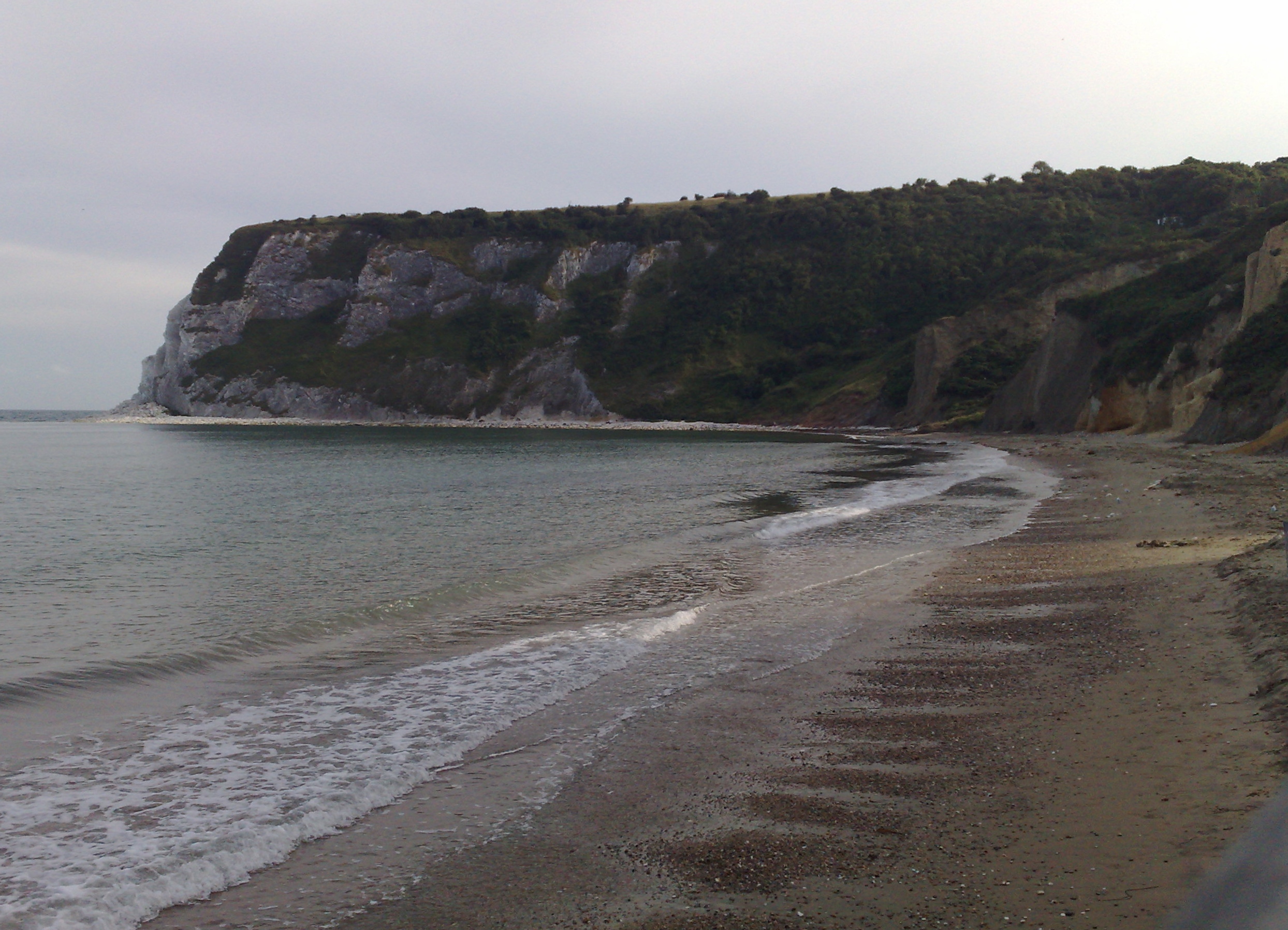
Whitecliff Bay
Whitecliff Bay is a sandy bay near Foreland which is the easternmost point of the Isle of Wight, England, about two miles south-west of Bembridge and just...
Whitecliff Bay and Bembridge Ledges
Whitecliff Bay and Bembridge Ledges is a 131.6-hectare (325-acre) Site of Special Scientific Interest that lies around the coastline of the easternmost...
Hillway
Hillway is a settlement on the Isle of Wight, off the south coast of England. The hamlet lies near to the south-east coast of the island, and is located...

Culver Battery
Culver Battery is a former coastal artillery battery on Culver Down, on the eastern side of the Isle of Wight, England. The fortification is one of several...

Redcliff Battery
Redcliff Battery (map reference SZ638855) is a battery located to the west of the Culver Cliffs and east of Yaverland on the Isle of Wight, England. It...
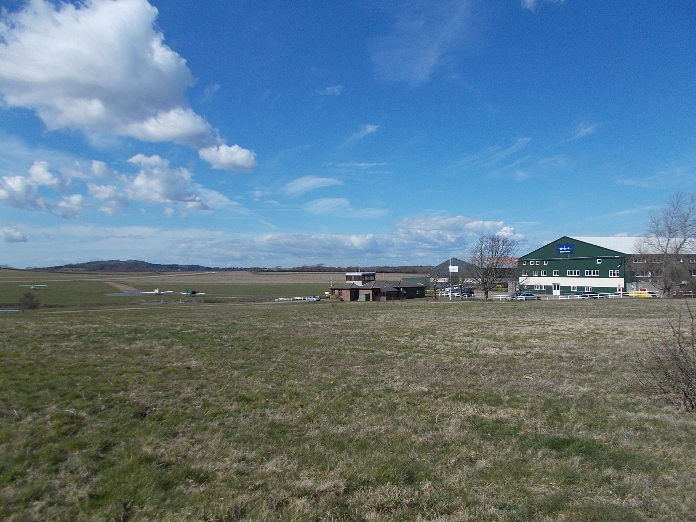
Bembridge Airport
Bembridge Airport (IATA: BBP, ICAO: EGHJ) is an unlicensed aerodrome located about a mile south-west of the village of Bembridge, Isle of Wight, England...
Nearby Amenities
Located within 500m of 50.67451,-1.0968738Have you been to Breaches Copse?
Leave your review of Breaches Copse below (or comments, questions and feedback).