Further Moor Copse
Wood, Forest in Berkshire
England
Further Moor Copse
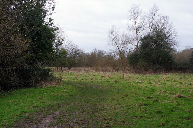
Further Moor Copse is a picturesque woodland located in Berkshire, England. Spread across an area of approximately 100 acres, it is a stunning example of a natural forest ecosystem. The copse is primarily composed of a diverse range of deciduous trees, including oak, beech, ash, and birch, creating a rich and vibrant habitat for a variety of flora and fauna.
The woodland floor is covered in a thick layer of moss, ferns, and wildflowers, adding to the beauty and diversity of the area. Further Moor Copse is also home to several species of wild animals, including deer, foxes, badgers, and a multitude of bird species. The copse provides a sanctuary for these creatures, offering them shelter and a source of food.
A network of well-maintained footpaths runs through the copse, allowing visitors to explore the area and immerse themselves in the tranquility of nature. These paths wind through towering trees, creating a magical and enchanting atmosphere. It is a popular spot for nature enthusiasts, walkers, and photographers, who are drawn to the copse's natural beauty and peaceful surroundings.
Further Moor Copse is also of historical significance, with evidence of human presence dating back centuries. The copse has remnants of ancient settlements and is believed to have been used for various purposes throughout history, including timber production.
Overall, Further Moor Copse is a stunning woodland that offers a serene escape from the hustle and bustle of modern life. With its diverse flora and fauna, well-maintained footpaths, and historical significance, it is a must-visit destination for anyone seeking a connection with nature.
If you have any feedback on the listing, please let us know in the comments section below.
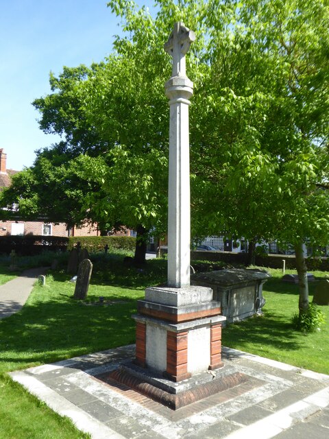
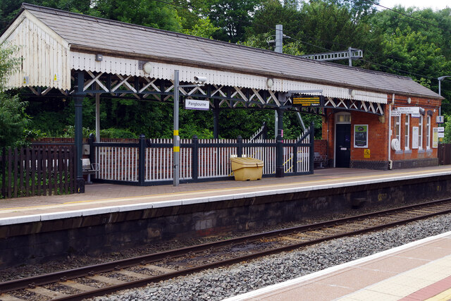
Further Moor Copse Images
Images are sourced within 2km of 51.47601/-1.0854878 or Grid Reference SU6375. Thanks to Geograph Open Source API. All images are credited.


Further Moor Copse is located at Grid Ref: SU6375 (Lat: 51.47601, Lng: -1.0854878)
Unitary Authority: West Berkshire
Police Authority: Thames Valley
What 3 Words
///cared.workflow.pokers. Near Pangbourne, Berkshire
Nearby Locations
Related Wikis

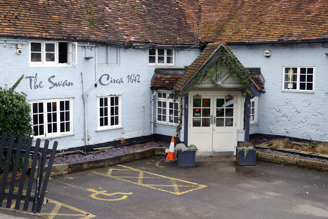
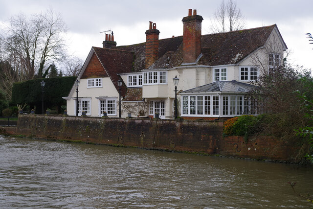
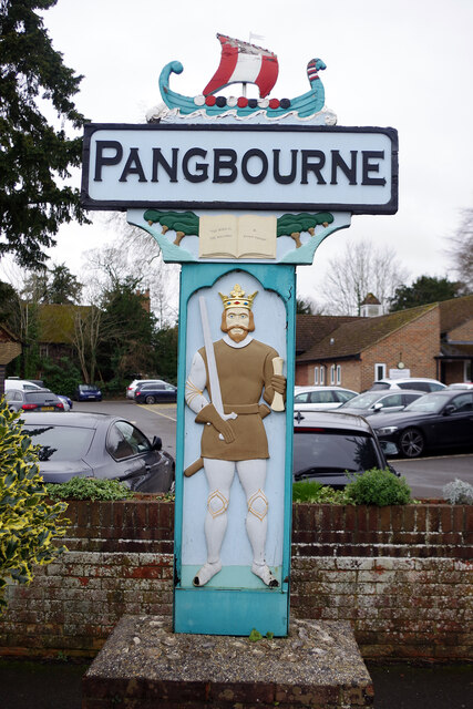
Pangbourne
Pangbourne is a village and civil parish on the River Thames in Berkshire, England. Pangbourne has its own shops, schools, a railway station on the Great...

Tidmarsh
Tidmarsh is a village in West Berkshire, England. Its development is mainly residential and agricultural, and is centred on the A340 road between Pangbourne...

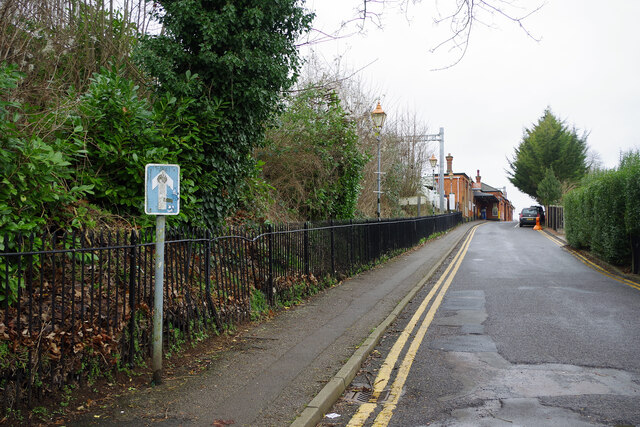
Pangbourne railway station
Pangbourne railway station serves the village of Pangbourne in the county of Berkshire, and across the River Thames the village of Whitchurch-on-Thames...

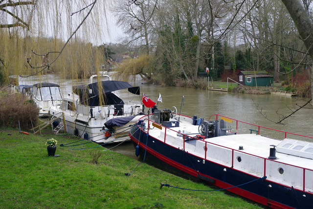
River Pang
The River Pang is a small chalk stream river in the west of the English county of Berkshire, and a tributary of the River Thames. It runs for approximately...
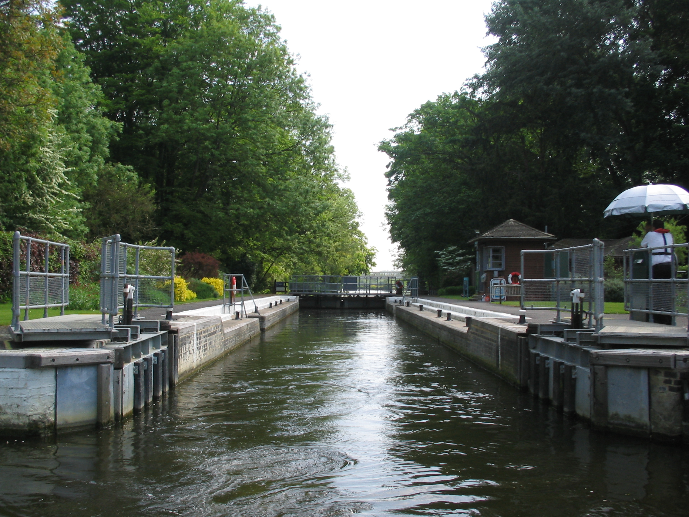
Whitchurch Lock
Whitchurch Lock is a lock and weir on the River Thames in England. It is a pound lock, built by the Thames Navigation Commissioners in 1787. It is on an...
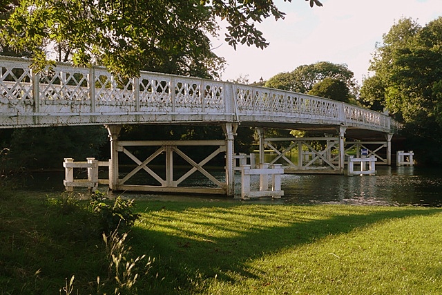
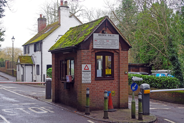
Whitchurch Bridge
Whitchurch Bridge is a toll bridge that carries the B471 road over the River Thames in England. It links the villages of Pangbourne in Berkshire, and Whitchurch...

Tidmarsh with Sulham
Tidmarsh with Sulham is a combined parish council area in the English county of Berkshire. It covers the civil parishes of Tidmarsh and Sulham, including...

Pangbourne College Boat Club
Pangbourne College Boat Club is a rowing club based on the River Thames at Pangbourne College Boathouse, Shooters Hill, Pangbourne, Berkshire. == History... ==
Nearby Amenities
Located within 500m of 51.47601,-1.0854878Have you been to Further Moor Copse?
Leave your review of Further Moor Copse below (or comments, questions and feedback).