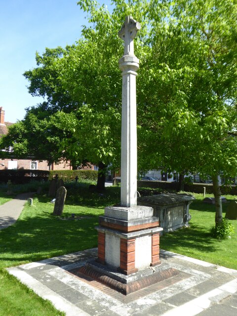
Alder Copse
Wood, Forest in Berkshire
England
Alder Copse
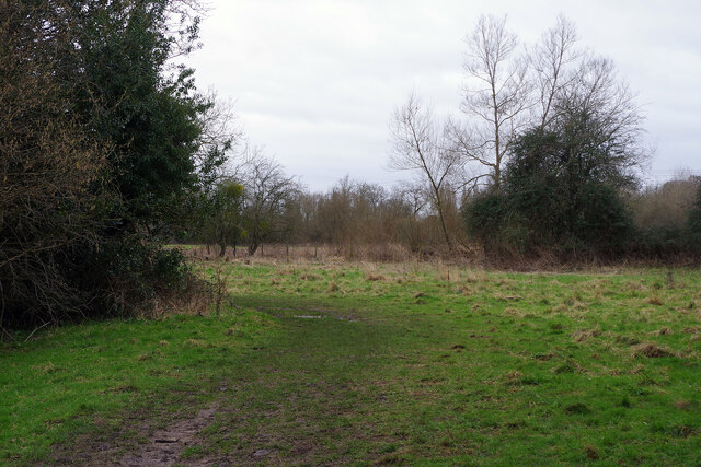
Alder Copse, located in Berkshire, England, is a pristine wood or forest known for its natural beauty and diverse ecosystem. Spanning over a vast area, it is a popular destination for nature enthusiasts, hikers, and wildlife enthusiasts alike.
The copse is predominantly composed of alder trees, hence its name. These trees create a dense canopy, providing shade and shelter for a variety of flora and fauna. The forest floor is covered in a thick layer of moss, providing a soft and cushioned feeling underfoot. This mossy carpet is interspersed with vibrant wildflowers, adding a splash of color to the otherwise green landscape.
Alder Copse is crisscrossed with a network of well-maintained trails, allowing visitors to explore the area at their own pace. These trails wind through the forest, offering glimpses of ancient oaks, beech trees, and other indigenous species. The peaceful atmosphere is occasionally broken by the sound of birdsong, as the copse is home to a diverse range of bird species, including woodpeckers, thrushes, and owls.
The copse is also a haven for wildlife. Squirrels scurry through the treetops, while rabbits and deer can often be spotted grazing in the clearings. The occasional glimpse of a fox or badger adds to the sense of wilderness that Alder Copse embodies.
Overall, Alder Copse in Berkshire is a captivating woodland that offers a tranquil escape from the hustle and bustle of everyday life. With its lush vegetation, diverse wildlife, and well-maintained trails, it is a hidden gem waiting to be explored by nature lovers.
If you have any feedback on the listing, please let us know in the comments section below.
Alder Copse Images
Images are sourced within 2km of 51.47756/-1.0871416 or Grid Reference SU6375. Thanks to Geograph Open Source API. All images are credited.


Alder Copse is located at Grid Ref: SU6375 (Lat: 51.47756, Lng: -1.0871416)
Unitary Authority: West Berkshire
Police Authority: Thames Valley
What 3 Words
///agreed.blaring.fuse. Near Pangbourne, Berkshire
Nearby Locations
Related Wikis

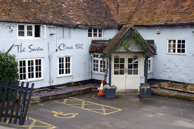
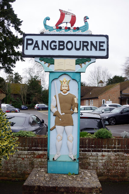
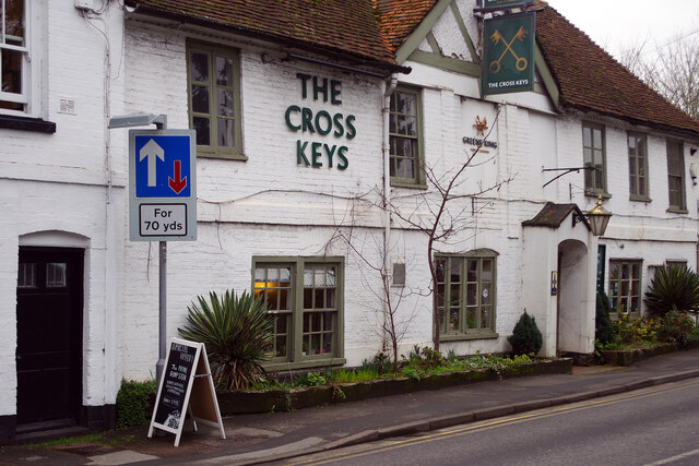
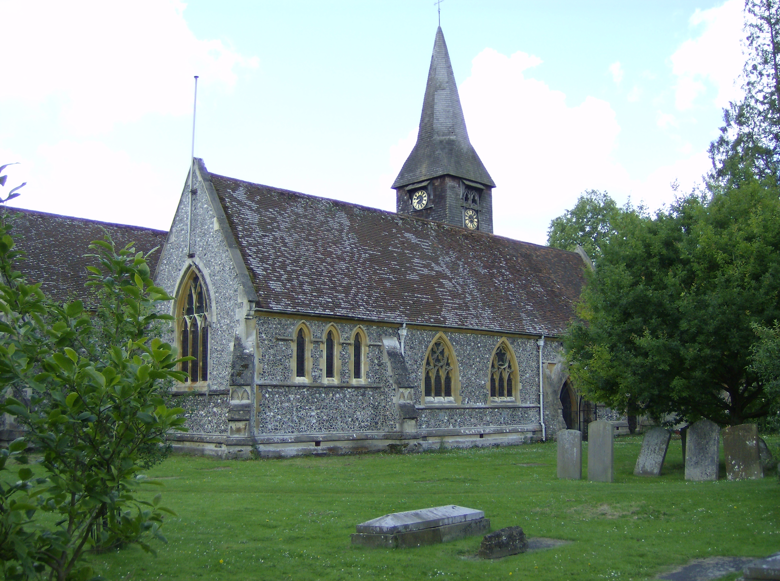
Pangbourne
Pangbourne is a village and civil parish on the River Thames in Berkshire, England. Pangbourne has its own shops, schools, a railway station on the Great...

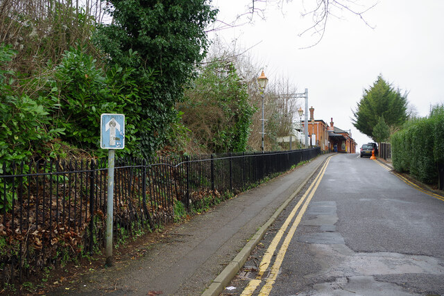
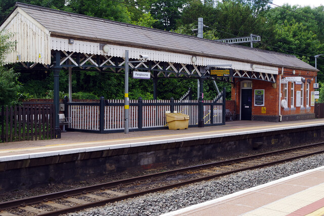
Pangbourne railway station
Pangbourne railway station serves the village of Pangbourne in the county of Berkshire, and across the River Thames the village of Whitchurch-on-Thames...

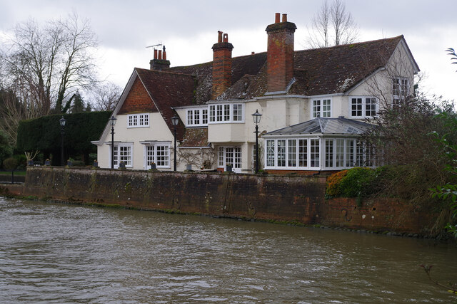
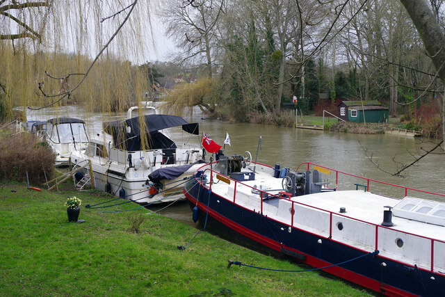
River Pang
The River Pang is a small chalk stream river in the west of the English county of Berkshire, and a tributary of the River Thames. It runs for approximately...
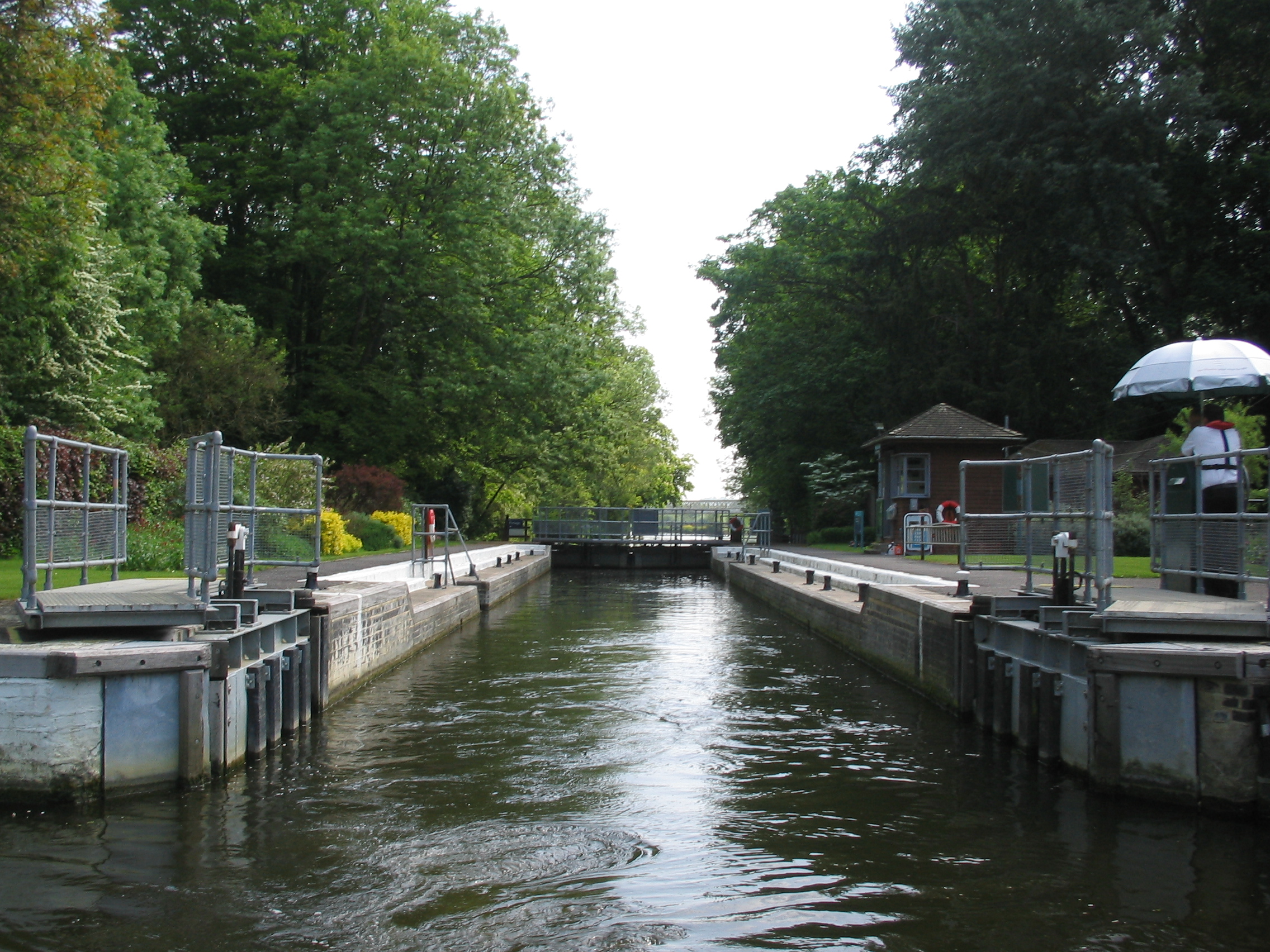
Whitchurch Lock
Whitchurch Lock is a lock and weir on the River Thames in England. It is a pound lock, built by the Thames Navigation Commissioners in 1787. It is on an...
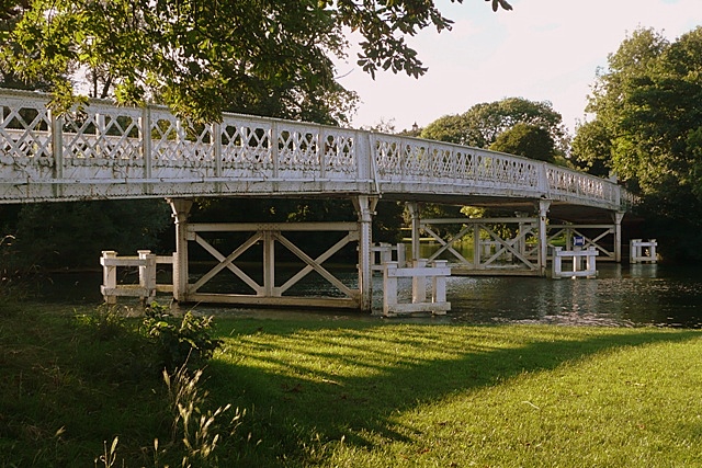
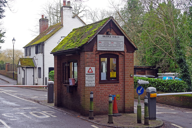
Whitchurch Bridge
Whitchurch Bridge is a toll bridge that carries the B471 road over the River Thames in England. It links the villages of Pangbourne in Berkshire, and Whitchurch...

Pangbourne College Boat Club
Pangbourne College Boat Club is a rowing club based on the River Thames at Pangbourne College Boathouse, Shooters Hill, Pangbourne, Berkshire. == History... ==

Tidmarsh
Tidmarsh is a village in West Berkshire, England. Its development is mainly residential and agricultural, and is centred on the A340 road between Pangbourne...
Whitchurch-on-Thames
Whitchurch-on-Thames is a village and civil parish on the Oxfordshire bank of the River Thames, about 5.5 miles (9 km) northwest of Reading, Berkshire...
Nearby Amenities
Located within 500m of 51.47756,-1.0871416Have you been to Alder Copse?
Leave your review of Alder Copse below (or comments, questions and feedback).