Gashouse Plantation
Wood, Forest in Yorkshire Selby
England
Gashouse Plantation

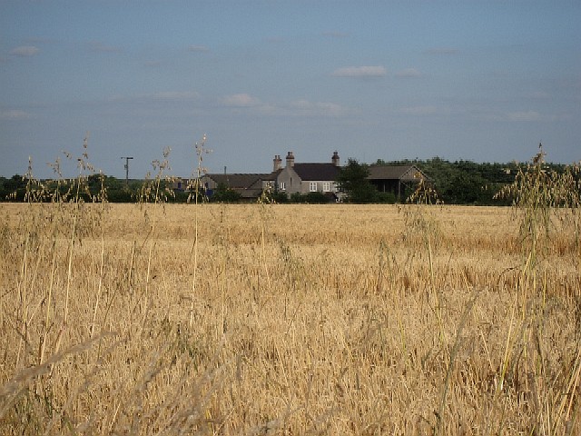
Gashouse Plantation is an enchanting wood located in the beautiful county of Yorkshire, England. Nestled within the sprawling countryside, this plantation is a true haven for nature enthusiasts and outdoor lovers alike.
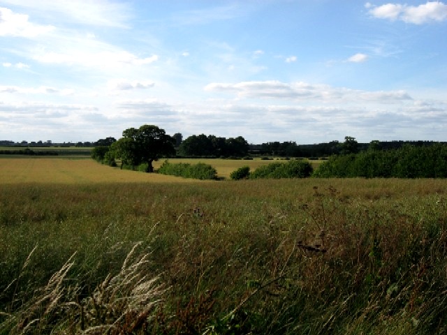
Covering an area of approximately 500 acres, Gashouse Plantation boasts a diverse range of plant species, creating a rich and vibrant ecosystem. The woodland is primarily composed of native trees such as oak, beech, and birch, which provide a stunning canopy of green throughout the year. This lush habitat is home to a variety of wildlife, including deer, foxes, badgers, and a plethora of bird species.
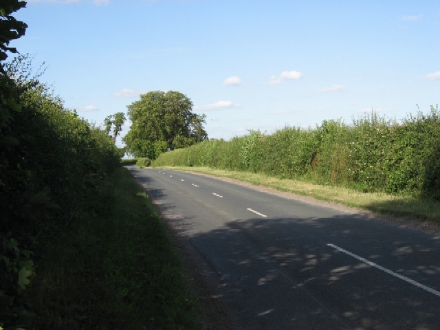
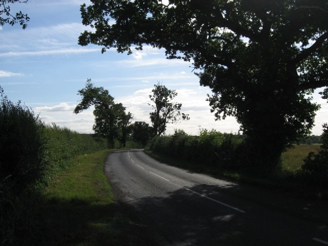
Visitors to Gashouse Plantation are greeted with a network of well-maintained trails, allowing for leisurely walks and hikes through the woodland. The paths wind their way through the plantation, offering stunning views of the surrounding landscape and providing ample opportunities for photography and bird watching.
In addition to its natural beauty, Gashouse Plantation also has a rich historical significance. The plantation dates back several centuries and was once a site for charcoal production during the Industrial Revolution. The remnants of old charcoal pits can still be found within the woodland, serving as a reminder of its past.
For those seeking a tranquil escape from the bustling city life, Gashouse Plantation is the perfect destination. Its serene atmosphere, breathtaking scenery, and abundance of wildlife make it a truly remarkable place to explore and reconnect with nature.
If you have any feedback on the listing, please let us know in the comments section below.
Gashouse Plantation Images
Images are sourced within 2km of 53.876364/-1.0369647 or Grid Reference SE6342. Thanks to Geograph Open Source API. All images are credited.


Gashouse Plantation is located at Grid Ref: SE6342 (Lat: 53.876364, Lng: -1.0369647)
Division: East Riding
Administrative County: North Yorkshire
District: Selby
Police Authority: North Yorkshire
What 3 Words
///ranking.scornful.shepherds. Near Deighton, North Yorkshire
Nearby Locations
Related Wikis
Queen Margaret's School, York
Established in 1901, Queen Margaret's (QM) is an independent boarding and day school for girls aged 11-18 set in 75 acres of parkland, six miles south...

Escrick
Escrick is a village and civil parish in North Yorkshire, England. It was in the historic East Riding of Yorkshire, but since 1974 has come under North...
St Helen's Church, Escrick
St Helen's Church is the parish church of Escrick, a village south of York, in North Yorkshire, in England. A church was first recorded in Escrick in 1252...

Garden Temple
Garden Temple, also known as Escrick Park Temple, is a temple and folly in Escrick, North Yorkshire, England. The temple is listed as a grade II building...

Deighton, York
Deighton is a village and civil parish in the unitary authority of the City of York, North Yorkshire, England. The population of the civil parish as of...

Escrick railway station
Escrick railway station served the village of Escrick, North Yorkshire, England from 1871 to 1961 on the East Coast Main Line. == History == The station...

Bell Hall
Bell Hall is a grade I listed building, in Naburn, in the rural southern part of the city of York, in England. The house was built in 1680 for John Hewley...
Crockey Hill
Crockey Hill is a small village in the unitary authority of City of York in North Yorkshire, England. It is situated on the A19 2.5 miles (4 km) south...
Nearby Amenities
Located within 500m of 53.876364,-1.0369647Have you been to Gashouse Plantation?
Leave your review of Gashouse Plantation below (or comments, questions and feedback).