The Pines
Wood, Forest in Berkshire
England
The Pines
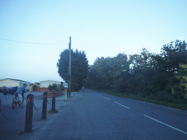
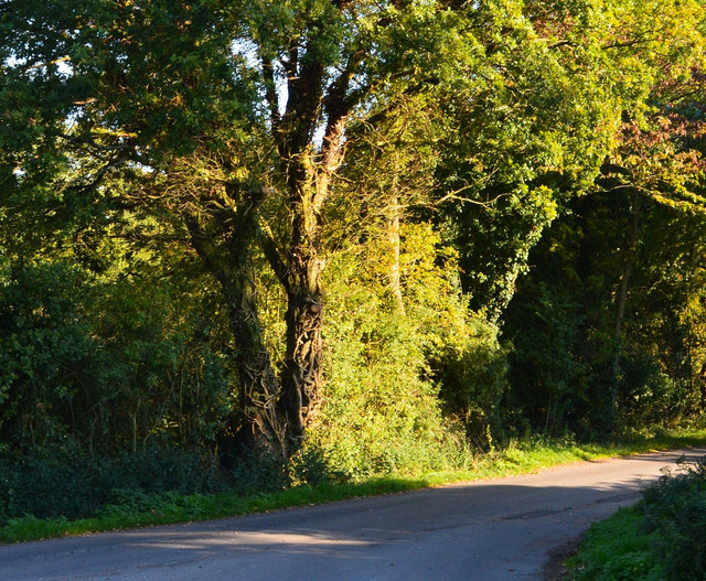
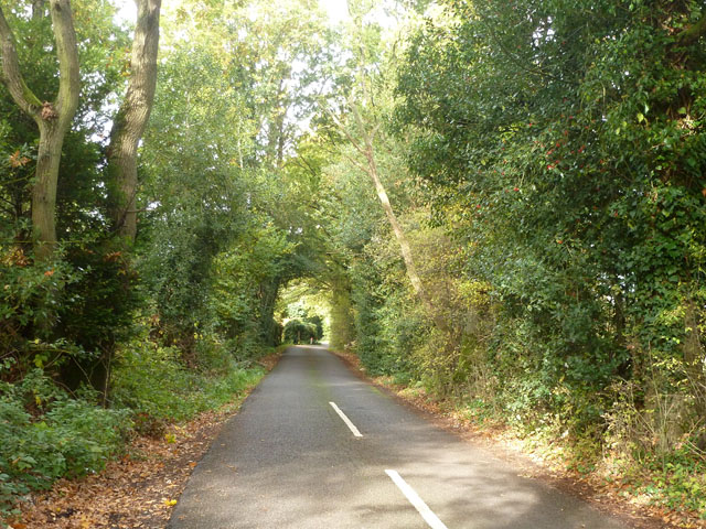
The Pines, located in Berkshire, England, is a charming woodland area known for its serene and picturesque setting. This enchanting forest is nestled amidst the rolling hills and verdant landscapes, offering visitors a true escape from the hustle and bustle of everyday life.
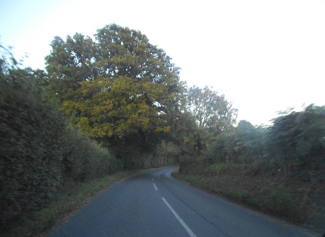
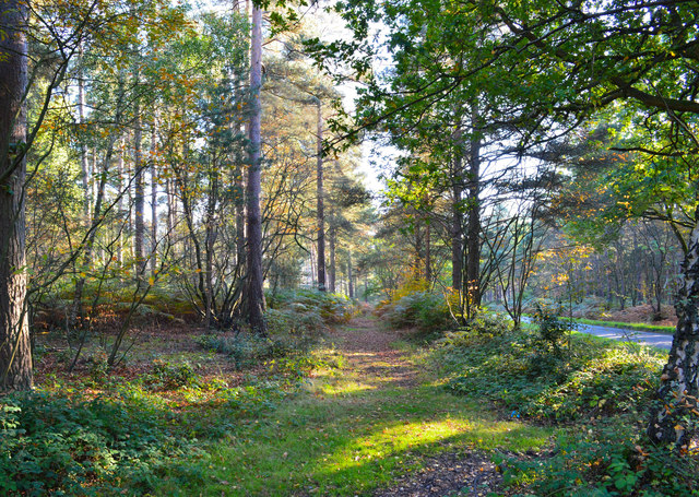
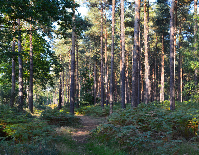
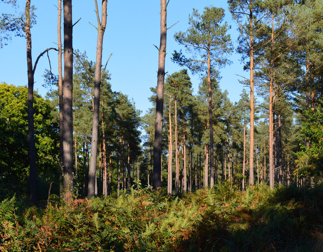
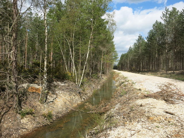
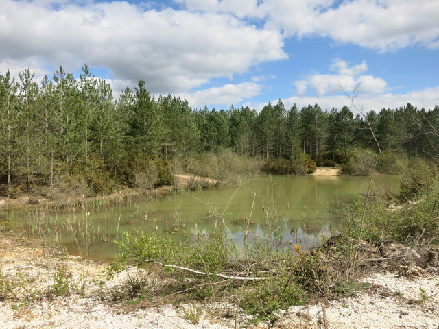
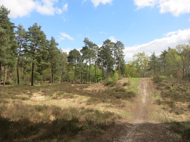
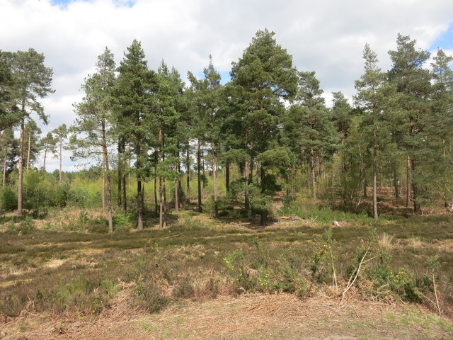
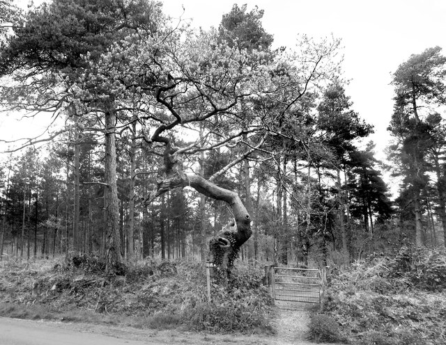
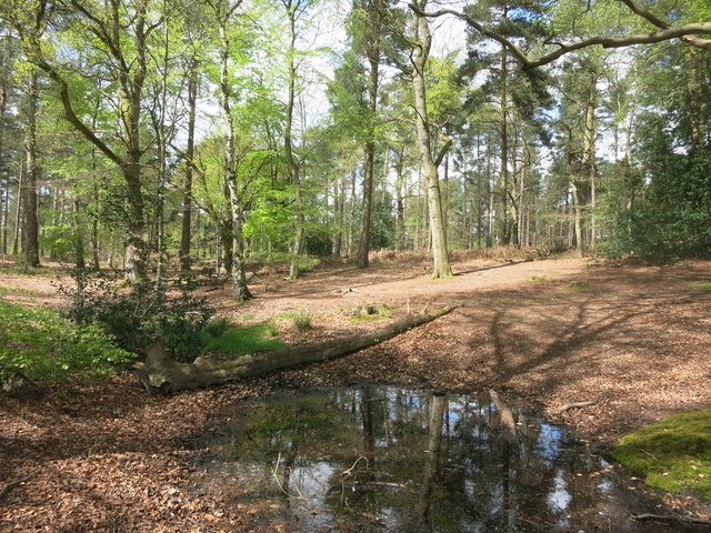
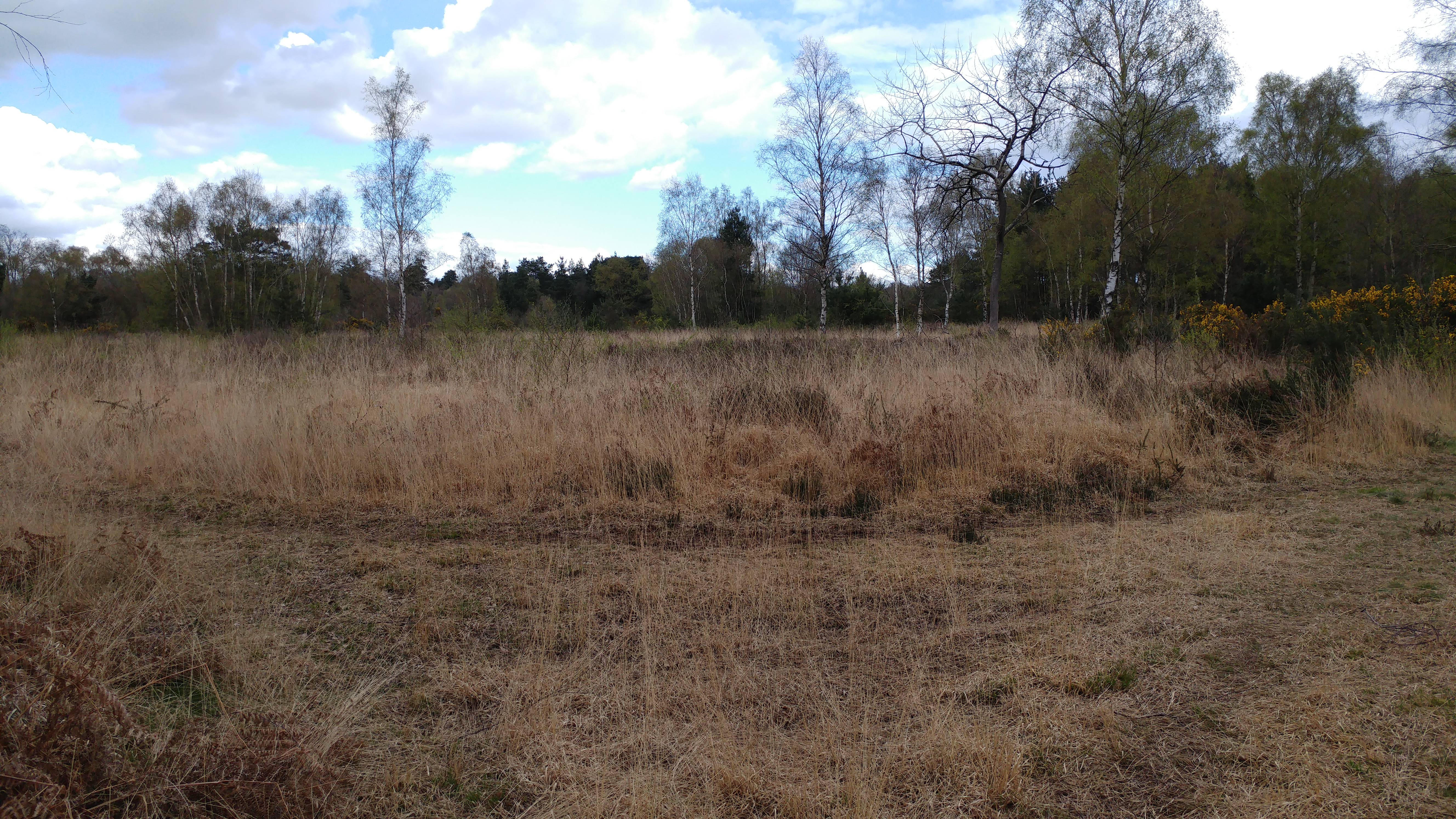
Covering a vast expanse of land, The Pines is home to a diverse range of tree species, including towering pines, majestic oaks, and elegant birches. The forest floor is adorned with a lush carpet of ferns, mosses, and wildflowers, creating a vibrant tapestry of colors throughout the seasons.
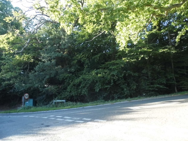
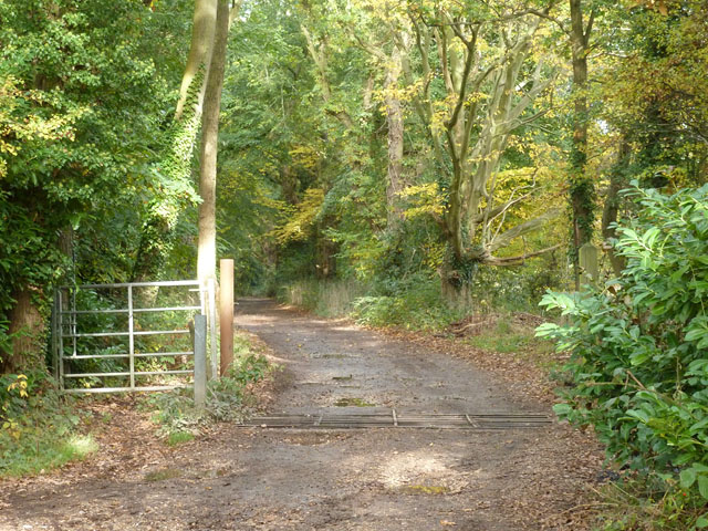
The Pines is renowned for its tranquil atmosphere, making it an ideal destination for nature enthusiasts and those seeking solace in the great outdoors. Visitors can embark on leisurely walks along the numerous winding trails, immersing themselves in the calmness and beauty of nature. Wildlife enthusiasts will also be delighted by the variety of fauna that calls The Pines home, including deer, squirrels, and a rich assortment of bird species.
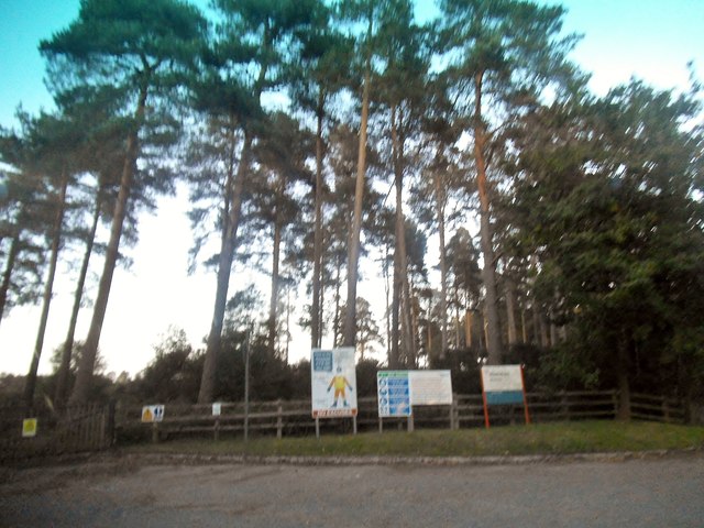
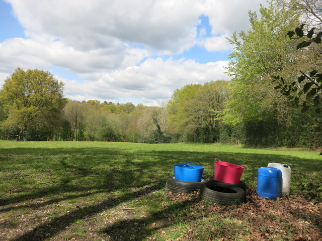
In addition to its natural splendor, The Pines offers various amenities to enhance the visitor experience. The forest is equipped with well-maintained picnic areas, allowing visitors to enjoy a delightful outdoor meal amidst the peaceful surroundings. Interpretive signs and information boards are strategically placed throughout the forest, providing educational insights about the local flora and fauna.
Overall, The Pines in Berkshire is a captivating woodland retreat that offers an idyllic escape for nature lovers. Its pristine beauty, abundant wildlife, and recreational opportunities make it an enchanting destination for individuals and families seeking a rejuvenating experience in the heart of nature.
If you have any feedback on the listing, please let us know in the comments section below.
The Pines Images
Images are sourced within 2km of 51.384258/-1.0901914 or Grid Reference SU6365. Thanks to Geograph Open Source API. All images are credited.
The Pines is located at Grid Ref: SU6365 (Lat: 51.384258, Lng: -1.0901914)
Unitary Authority: West Berkshire
Police Authority: Thames Valley
What 3 Words
///rips.apparatus.pylon. Near Stratfield Mortimer, Berkshire
Nearby Locations
Related Wikis
Padworth Common
Padworth Common is a hamlet and common in the English county of Berkshire, within the civil parish of Padworth. It is bounded by Burghfield to the east...
Padworth Common Local Nature Reserve
Padworth Common Local Nature Reserve is a 28-hectare (69-acre) Local Nature Reserve on the edge of the hamlet of Padworth Common, between Reading and...

Mortimer West End
Mortimer West End is a village and civil parish in north Hampshire in England. It lies in the northernmost point of the county. == History == At one time...

The Willink School
The Willink School is a comprehensive community school in Burghfield Common, Berkshire, United Kingdom. Founded in 1957, the school is co-educational and...

Padworth
Padworth is a dispersed settlement and civil parish in the English county of Berkshire, with the nearest town being Tadley. Padworth is in the unitary...

Mortimer Common
Mortimer Common, generally referred to as Mortimer, is a village in the civil parish of Stratfield Mortimer in Berkshire. Mortimer is in the local government...

Ufton Nervet
Ufton Nervet is a village and civil parish in West Berkshire, England centred 6 miles (10 km) west southwest of the large town of Reading and 7 miles east...
Padworth College
Padworth College is a co-educational private senior school in Padworth, Berkshire. == External links == Official website Berkshire History: Padworth House
Nearby Amenities
Located within 500m of 51.384258,-1.0901914Have you been to The Pines?
Leave your review of The Pines below (or comments, questions and feedback).