Waterslack Plantation

Wood, Forest in Nottinghamshire Bassetlaw

England

Waterslack Plantation

Corner of Essex Road and Galway Road, Bircotes
Corner of Essex Road and Galway Road, Bircotes Credit: Neil Theasby

Waterslack Plantation is a charming woodland located in Nottinghamshire, England. Situated in the heart of Sherwood Forest, this beautiful plantation covers an area of approximately 100 acres. The woodland is named after the nearby Waterslack Farm and is part of the wider Sherwood Forest Nature Reserve.

The plantation is predominantly composed of native broadleaf trees, with oak, birch, and beech being the most common species. These trees provide a lush canopy that offers shelter and a habitat for a variety of wildlife. Visitors to Waterslack Plantation can expect to encounter an array of bird species, including woodpeckers, tits, and finches, as well as small mammals such as squirrels and rabbits.

The woodland is crisscrossed by a network of well-maintained footpaths, making it an ideal destination for leisurely walks or more vigorous hikes. These paths lead visitors through the plantation, offering glimpses of its natural beauty at every turn. Additionally, the plantation is home to a number of picnic areas, providing an opportunity for visitors to relax and enjoy the peaceful surroundings.

Waterslack Plantation is not only a haven for flora and fauna but also a place of historical interest. It is believed to have been part of the ancient royal hunting grounds of Sherwood Forest, once frequented by legendary figures such as Robin Hood. As such, the woodland carries an air of mystique and intrigue, appealing to both nature lovers and history enthusiasts alike.

With its diverse ecosystem, scenic trails, and historical significance, Waterslack Plantation offers a delightful escape into nature for visitors of all ages.

If you have any feedback on the listing, please let us know in the comments section below.

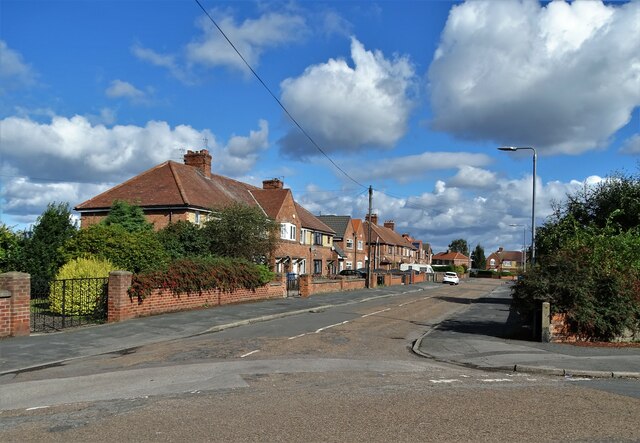
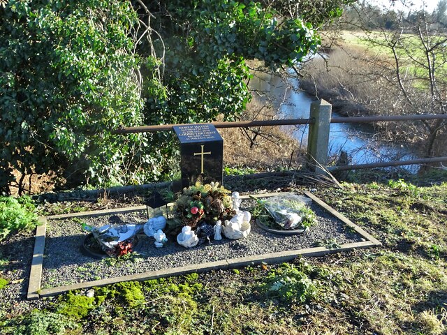
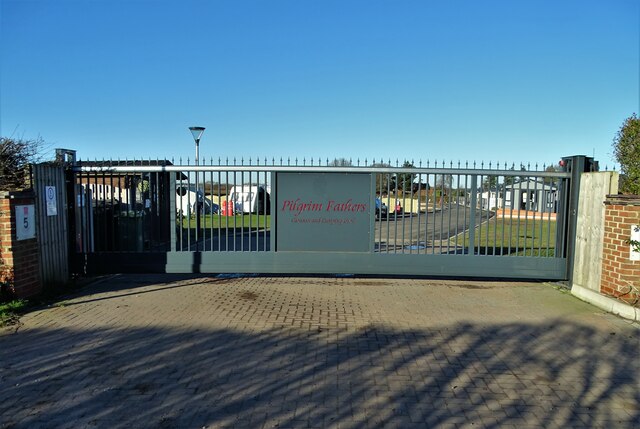
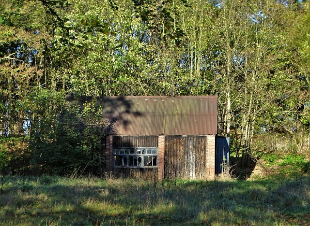
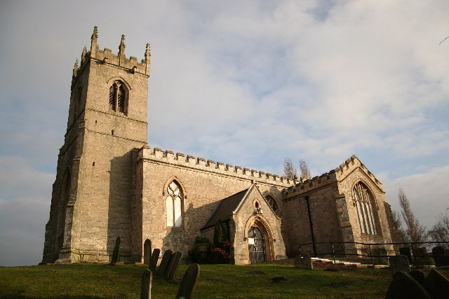
Waterslack Plantation Images

Images are sourced within 2km of 53.413042/-1.0541253 or Grid Reference SK6291. Thanks to Geograph Open Source API. All images are credited.

Corner of Essex Road and Galway Road, Bircotes
Businesses on Essex Road, Bircotes
New housing development at Bircotes
Avalon Gardens New housing to the north of Harworth
Avalon Gardens
New housing to the north of Harworth
Modern housing at Harworth On Avalon Gardens. Honestly, who comes up with such fancy names?
Modern housing at Harworth
On Avalon Gardens. Honestly, who comes up with such fancy names?
Harworth Lodge, Serlby Park Former western gatehouse to the Serlby Hall estate
Harworth Lodge, Serlby Park
Former western gatehouse to the Serlby Hall estate
Junction of Gibbet Hill Lane with the A614
Bridge over The River Ryton north of Scrooby The bridge carries the A638 - still referred to locally as The Great North Road.
Bridge over The River Ryton north of Scrooby
The bridge carries the A638 - still referred to locally as The Great North Road.
Saracens Lane - former railway crossing West of Scrooby. A railway used to run along here to Harworth Colliery. Now it seems to be the domain of galloping horses though none thundered by as I stopped to take this picture.
Saracens Lane - former railway crossing
West of Scrooby. A railway used to run along here to Harworth Colliery. Now it seems to be the domain of galloping horses though none thundered by as I stopped to take this picture.
Memorial to two friends On the night of January 16th 2010, two young friends died at this spot when their car left the road and plunged into The River Ryton. The circumstances remain a mystery. Their names were Emily Haith and Lizzie Ternent aged eighteen and twenty respectively.
Memorial to two friends
On the night of January 16th 2010, two young friends died at this spot when their car left the road and plunged into The River Ryton. The circumstances remain a mystery. Their names were Emily Haith and Lizzie Ternent aged eighteen and twenty respectively.
Pilgrim Fathers Caravan and Camping Park, Scrooby On Saracens Lane
Pilgrim Fathers Caravan and Camping Park, Scrooby
On Saracens Lane
Field view at Gibbet Hill
Gamekeeper's outbuilding, Serlby Hall estate Now in a ruinous state. It looked better in July 2008:- <a title="https://www.geograph.org.uk/photo/877490" href="https://www.geograph.org.uk/photo/877490">Link</a>
Gamekeeper's outbuilding, Serlby Hall estate
Now in a ruinous state. It looked better in July 2008:- Link
All Saints' church, Harworth, Notts. All Saints' church stands raised above the surrounding land, in close proximity to the pit villages of Harworth and Bircotes. Only the tower remains of the medieval church, the rest rebuilt by C.J.Neale in 1869 with a neo-Norman chancel, apparently incorporating some of the original Norman one.
All Saints' church, Harworth, Notts.
All Saints' church stands raised above the surrounding land, in close proximity to the pit villages of Harworth and Bircotes. Only the tower remains of the medieval church, the rest rebuilt by C.J.Neale in 1869 with a neo-Norman chancel, apparently incorporating some of the original Norman one.
Harworth Colliery The first shaft was sunk in 1919 and Harworth pit has produced millions of tons of top quality coal ever since. The Flying Scotsman was burning Harworth Coal when she covered the 392 miles from London to Edinburgh in 7 hours, 27 minutes in 1932.
Harworth Colliery
The first shaft was sunk in 1919 and Harworth pit has produced millions of tons of top quality coal ever since. The Flying Scotsman was burning Harworth Coal when she covered the 392 miles from London to Edinburgh in 7 hours, 27 minutes in 1932.
Owl Sanctuary This group of buildings, viewed from Gibbet Hill, is an owl sanctuary.
Owl Sanctuary
This group of buildings, viewed from Gibbet Hill, is an owl sanctuary.
Old Embankment This embankment once carried a railway branch from the east coast mainline to Harworth Colliery.
Old Embankment
This embankment once carried a railway branch from the east coast mainline to Harworth Colliery.
Entrance Lodge This interestingly shaped house appears to be a lodge at the entrance to Serlby Park.
Entrance Lodge
This interestingly shaped house appears to be a lodge at the entrance to Serlby Park.
Show me another place!

Waterslack Plantation is located at Grid Ref: SK6291 (Lat: 53.413042, Lng: -1.0541253)

Administrative County: Nottinghamshire

District: Bassetlaw

Police Authority: Nottinghamshire

What 3 Words

///companies.eggs.feared. Near Bircotes, Nottinghamshire

Related Wikis

Harworth Colliery F.C.

Harworth Colliery Football Club is an English football club based in Harworth and Bircotes, Nottinghamshire. The club are currently members of the Central...
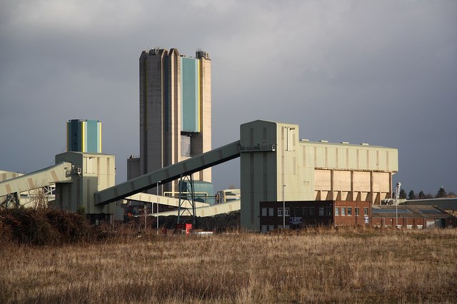
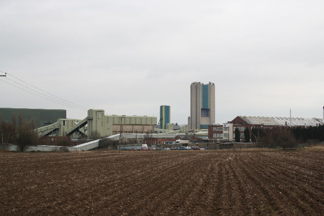
Harworth Colliery

Harworth Colliery was a colliery near the town of Harworth Bircotes in Bassetlaw, Nottinghamshire, England. It was abandoned in 2006 due to troubles at...
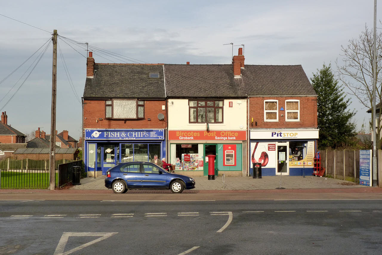
Bircotes

Bircotes is an area in the civil parish of Harworth and Bircotes in the Bassetlaw district of Nottinghamshire, England on the border with South Yorkshire...

Serlby Park Academy

Serlby Park Academy is a mixed all-through school and sixth form located in the twin villages of Bircotes and Harworth in North Nottinghamshire. The school...

Harworth

Harworth is an area and former civil parish, now in the parish of Harworth Bircotes (with Bircotes) in the Bassetlaw district in Nottinghamshire, England...

Harworth Bircotes

Harworth Bircotes or Harworth and Bircotes is a town and civil parish in the Bassetlaw district of Nottinghamshire in the East Midlands of England. The...

Serlby Hall

Serlby Hall is a grade I listed 18th century mansion and estate in Nottinghamshire, England, located 7 miles north-east of Worksop.It is constructed of...

Styrrup

Styrrup is a village in the civil parish of Styrrup with Oldcotes on the B6463 road in the Bassetlaw district, in the English county of Nottinghamshire...

Nearby Amenities

Located within 500m of 53.413042,-1.0541253
Bircotes
Is In: Bassetlaw, Nottinghamshire, United Kingdom
Place: village
Source: npe
Wikidata: Q4454217
Wikipedia: en:Bircotes
Lat/Long: 53.4167902/-1.0578974
Bus Stop
Waterslack Road
Bus: yes
Naptan AtcoCode: 3300BA0432
Naptan Bearing: S
Naptan CommonName: Waterslack Road
Naptan Crossing: Scrooby Road
Naptan Indicator: S-bound
Naptan NaptanCode: ntsdagtd
Naptan Notes: BW--3300BA0798
Naptan Street: Waterslack Road
Naptan Verified: no
Public Transport: platform
Source: naptan_import
Lat/Long: 53.4171889/-1.0534887
Bus Stop
Sports Ground
Bus: yes
Naptan AtcoCode: 3300BA0463
Naptan Bearing: E
Naptan CommonName: Sports Ground
Naptan Crossing: Waterslack Road
Naptan Indicator: opp
Naptan Landmark: Sports Ground
Naptan NaptanCode: ntsgadgp
Naptan Notes: none
Naptan Street: Scrooby Road
Naptan Verified: no
Public Transport: platform
Source: naptan_import
Lat/Long: 53.4167094/-1.0530931
Bus Stop
Sports Ground
Bus: yes
Naptan AtcoCode: 3300BA0464
Naptan Bearing: W
Naptan CommonName: Sports Ground
Naptan Crossing: Waterslack Road
Naptan Indicator: adj
Naptan Landmark: Sports Ground
Naptan NaptanCode: ntsgadgt
Naptan Notes: none
Naptan Street: Scrooby Road
Naptan Verified: no
Public Transport: platform
Source: naptan_import
Lat/Long: 53.4166263/-1.0539526
Bus Stop
Cricket Ground
Bus: yes
Naptan AtcoCode: 3300BA0465
Naptan Bearing: E
Naptan CommonName: Cricket Ground
Naptan Indicator: opp
Naptan Landmark: Cricket Ground
Naptan NaptanCode: ntsgadgw
Naptan Notes: none
Naptan Street: Scrooby Road
Naptan Verified: no
Public Transport: platform
Source: naptan_import
Lat/Long: 53.4167822/-1.0566124
Bus Stop
Health Centre
Bus: yes
Naptan AtcoCode: 3300BA0483
Naptan Bearing: W
Naptan CommonName: Health Centre
Naptan Crossing: Droversdale Road
Naptan Indicator: adj
Naptan Landmark: Health Centre
Naptan NaptanCode: ntsdtjdp
Naptan Notes: BW--3300BA0869
Naptan Street: Scrooby Road
Naptan Verified: no
Public Transport: platform
Source: naptan_import
Lat/Long: 53.4165497/-1.0499669
Waterslack Road
Naptan AtcoCode: 3300BA0798
Naptan Bearing: N
Naptan BusStopType: CUS
Naptan CommonName: Waterslack Road
Naptan Crossing: Scrooby Road
Naptan Indicator: N-bound
Naptan NaptanCode: ntsgjmwg
Naptan Notes: CUS--3300BA0432
Naptan Street: Waterslack Road
Naptan Verified: no
Source: naptan_import
Lat/Long: 53.4172083/-1.0536688
Health Centre
Naptan AtcoCode: 3300BA0869
Naptan Bearing: E
Naptan BusStopType: CUS
Naptan CommonName: Health Centre
Naptan Crossing: Droversdale Road
Naptan Indicator: opp
Naptan Landmark: Health Centre
Naptan NaptanCode: ntsgmadj
Naptan Notes: CUS--3300BA0483
Naptan Street: Scrooby Road
Naptan Verified: no
Source: naptan_import
Lat/Long: 53.4166308/-1.0501079
Traffic Calming: choker
Lat/Long: 53.4156997/-1.0590112
Camera Mount: pole
Camera Type: dome
Man Made: surveillance
Surveillance: public
Surveillance Type: camera
Surveillance Zone: town
Lat/Long: 53.4165817/-1.058019
Camera Mount: traffic_signals
Camera Type: dome
Contact Webcam: http://data.nottinghamtravelwise.org.uk/images229.jpg
Man Made: surveillance
Surveillance: public
Surveillance Type: camera
Surveillance Zone: traffic
Lat/Long: 53.4166661/-1.0582669
The data included in this document is from www.openstreetmap.org. The data is made available under ODbL.

Have you been to Waterslack Plantation?

Leave your review of Waterslack Plantation below (or comments, questions and feedback).