Bedlam Plantation
Wood, Forest in Hampshire Basingstoke and Deane
England
Bedlam Plantation

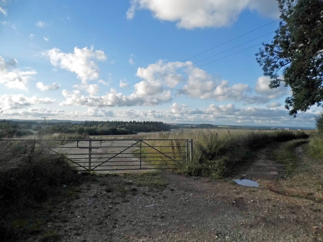
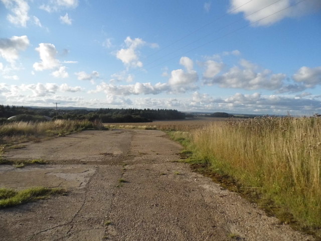
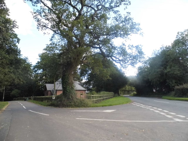
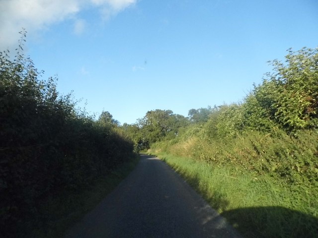
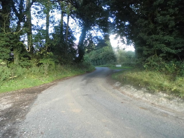
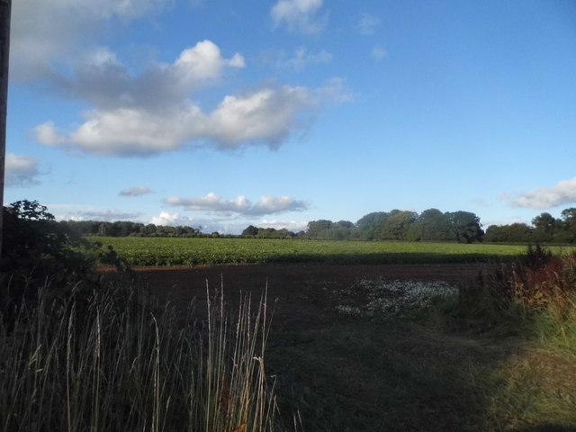
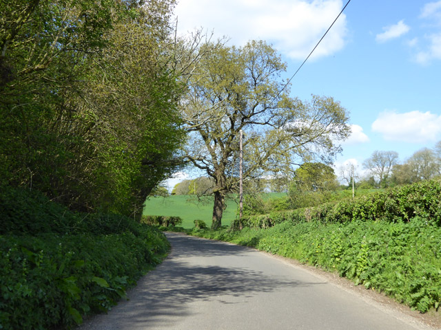
Bedlam Plantation, located in Hampshire, is a picturesque woodland area known for its lush greenery and natural beauty. Situated in the heart of the county, this forested region covers a vast area and is home to a diverse range of flora and fauna.
The plantation is characterized by its dense canopy of tall, ancient trees, which create a serene and tranquil atmosphere for visitors. The woodland is predominantly composed of native species such as oak, beech, and ash, providing a habitat for various wildlife, including deer, squirrels, and numerous bird species.
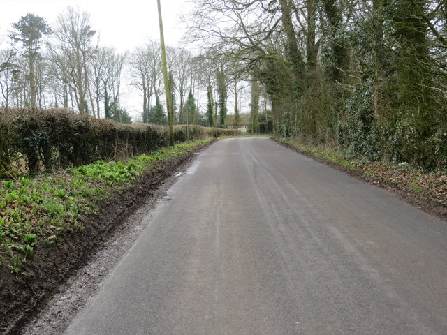
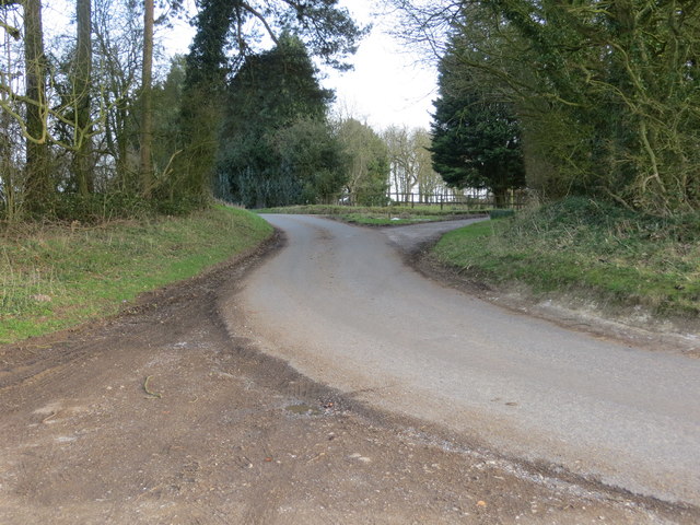
Walking trails wind their way through the plantation, allowing visitors to explore the area at their own pace. These well-maintained paths provide an opportunity to immerse oneself in the natural surroundings and enjoy the peaceful ambiance of the forest.
Bedlam Plantation is also rich in historical significance. Dating back several centuries, the area was once used as a hunting ground for local nobility. Remnants of old hunting lodges and gamekeeper's cottages can still be found scattered throughout the plantation, adding an element of intrigue and nostalgia to the landscape.
Visitors to Bedlam Plantation can engage in various recreational activities such as hiking, birdwatching, and picnicking. The plantation is also a popular destination for nature enthusiasts and photographers, who are drawn to its idyllic scenery and abundant wildlife.
Overall, Bedlam Plantation in Hampshire is a captivating and enchanting woodland, offering visitors a chance to escape the hustle and bustle of everyday life and reconnect with nature.
If you have any feedback on the listing, please let us know in the comments section below.
Bedlam Plantation Images
Images are sourced within 2km of 51.209443/-1.1028588 or Grid Reference SU6245. Thanks to Geograph Open Source API. All images are credited.


Bedlam Plantation is located at Grid Ref: SU6245 (Lat: 51.209443, Lng: -1.1028588)
Administrative County: Hampshire
District: Basingstoke and Deane
Police Authority: Hampshire
What 3 Words
///wire.dangerously.light. Near Basingstoke, Hampshire
Nearby Locations
Related Wikis

Ellisfield
Ellisfield is a village in the Basingstoke and Deane district of Hampshire, England. It lies approximately 4 miles (6.4 km) south of Basingstoke on the...
Farleigh Wallop
Farleigh Wallop is a small village and civil parish in Hampshire, England, approximately 4.7 miles (7.6 km) south of Basingstoke on the slopes of Farleigh...
Broadmere
Broadmere is a hamlet in Hampshire, England. The hamlet comes under the parish of Farleigh Wallop and its nearest town is Basingstoke, about 2 miles away...

Farleigh Hill
Farleigh Hill is one of the highest points in the county of Hampshire, England. It is part of the Hampshire Downs and reaches a height of 208 metres (682...
Nutley, Hampshire
Nutley is a small village and civil parish in the Basingstoke and Deane district of Hampshire, England. It is located approximately 5.6 miles (9.0 km)...
Hatch Warren
Hatch Warren is a district and ward of Basingstoke in Hampshire, England. The population of the appropriate ward called Hatch Warren and Beggarwood was...
Moundsmere
Moundsmere is a hamlet in Hampshire, England. It is in the civil parish of Preston Candover. It is 3 miles away from the village of Bentworth and lies...
Axford, Hampshire
Axford is a hamlet in the Basingstoke and Deane district of Hampshire, England. The settlement is within the civil parish of Nutley, and is located approximately...
Nearby Amenities
Located within 500m of 51.209443,-1.1028588Have you been to Bedlam Plantation?
Leave your review of Bedlam Plantation below (or comments, questions and feedback).