Ashey
Settlement in Hampshire
England
Ashey

Ashley is a small village located in the county of Hampshire, England. Situated approximately 5 miles southwest of Newbury and 12 miles north of Winchester, it is surrounded by picturesque countryside and enjoys a peaceful rural setting. The village falls within the civil parish of Kingsclere and is part of the Basingstoke and Deane borough.
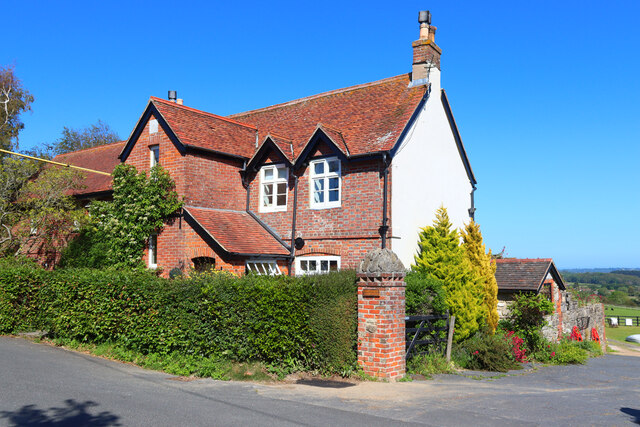
Ashley is characterized by its quaint charm and traditional English architecture. The village is mostly made up of period properties, including thatched cottages and Georgian-style houses, which add to its historic appeal. The local community is tight-knit and friendly, with a strong sense of community spirit.
Although small, Ashley has a few amenities to offer its residents. There is a village hall that hosts various events and activities, providing a meeting place for locals to socialize and engage in community gatherings. The village also has a church, St. Mary's, which serves as a place of worship and holds regular services.
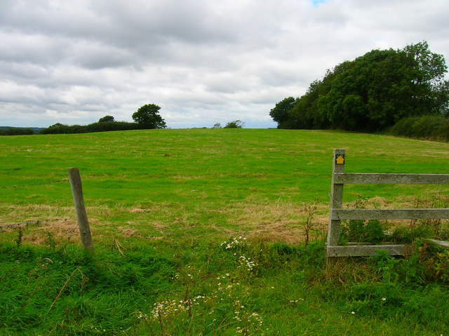
Surrounded by beautiful countryside, Ashley provides ample opportunities for outdoor activities and leisure pursuits. The village is located near the North Wessex Downs, an Area of Outstanding Natural Beauty, which offers stunning landscapes, scenic walks, and cycling routes. The nearby Watership Down, made famous by Richard Adams' novel, is a popular spot for nature enthusiasts and walkers.
Overall, Ashley is a charming and tranquil village, perfect for those seeking a peaceful countryside lifestyle while still having easy access to nearby towns and cities.
If you have any feedback on the listing, please let us know in the comments section below.
Ashey Images
Images are sourced within 2km of 50.699951/-1.181519 or Grid Reference SZ5789. Thanks to Geograph Open Source API. All images are credited.


Ashey is located at Grid Ref: SZ5789 (Lat: 50.699951, Lng: -1.181519)
Unitary Authority: Isle of Wight
Police Authority: Hampshire
What 3 Words
///mashing.fanfare.chum. Near Brading, Isle of Wight
Nearby Locations
Related Wikis
Ashey
Ashey is a hamlet and former civil parish, now in the parish of Havenstreet and Ashey, on the outskirts of Ryde, on the Isle of Wight, England. In 1931...
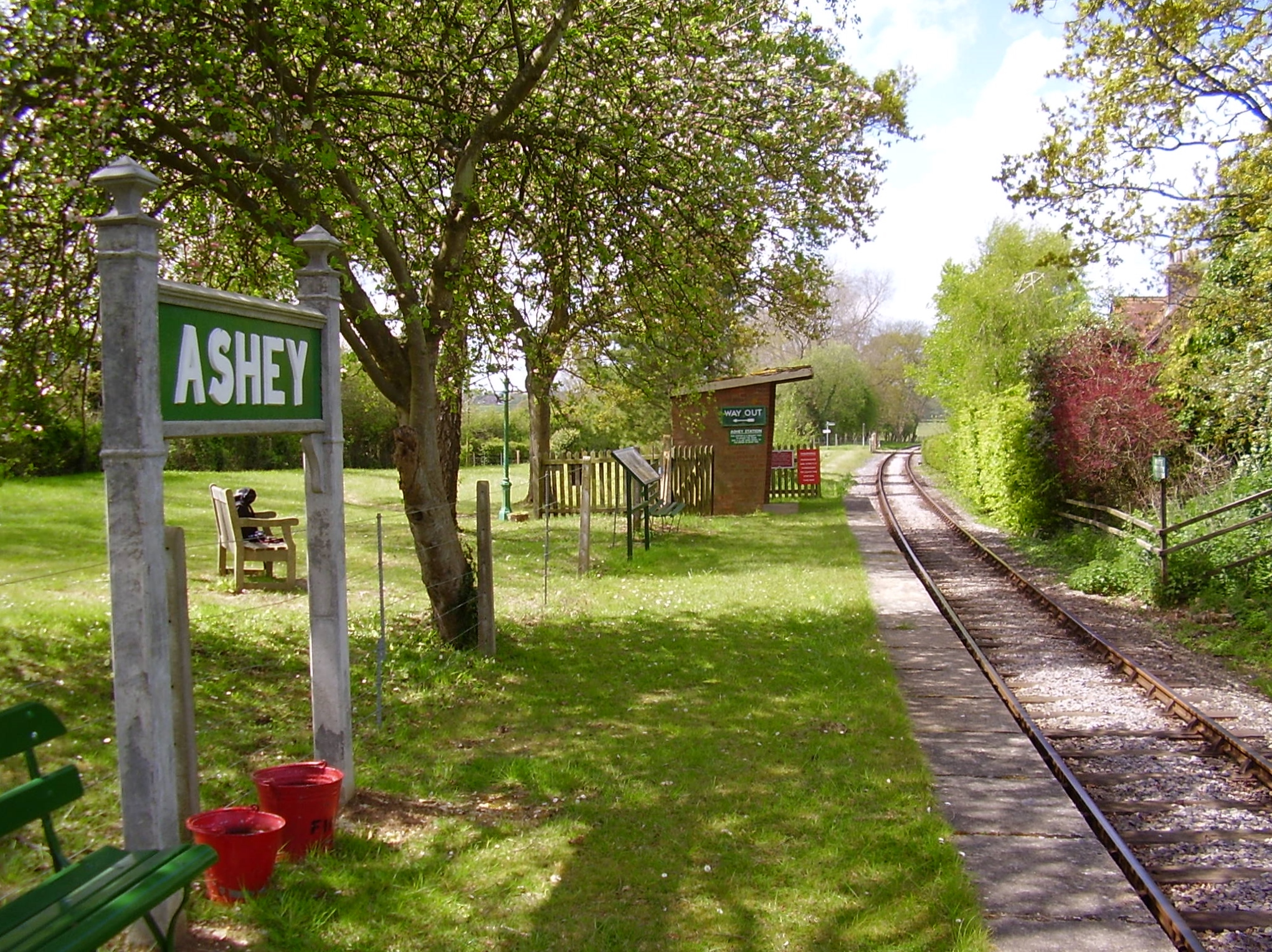
Ashey railway station
Ashey railway station is a station serving the village of Ashey on the Isle of Wight in England. It was on the line which ran from Ryde to Newport. It...
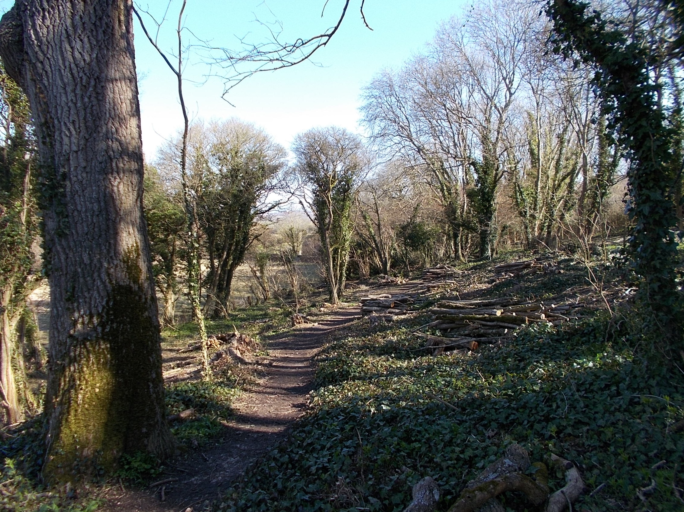
Eaglehead and Bloodstone Copses
Eaglehead and Bloodstone Copses is a 10.3-hectare (25-acre) Site of Special Scientific Interest which is south of Ashey on the Isle of Wight. The site...
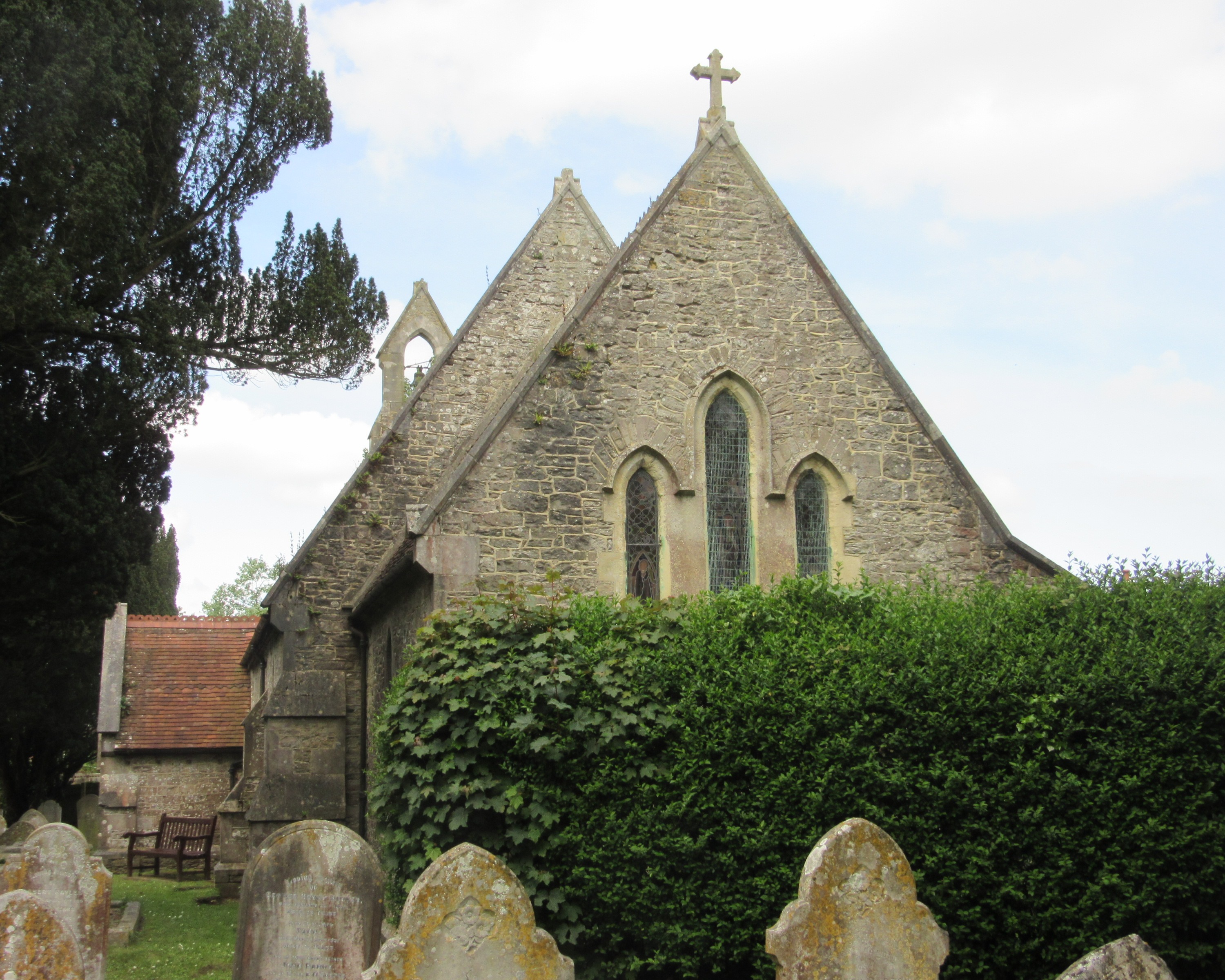
St Peter's Church, Havenstreet
St Peter's Church, Havenstreet is a parish church in the Church of England located in Havenstreet, Isle of Wight. == History == The church dates from 1852...

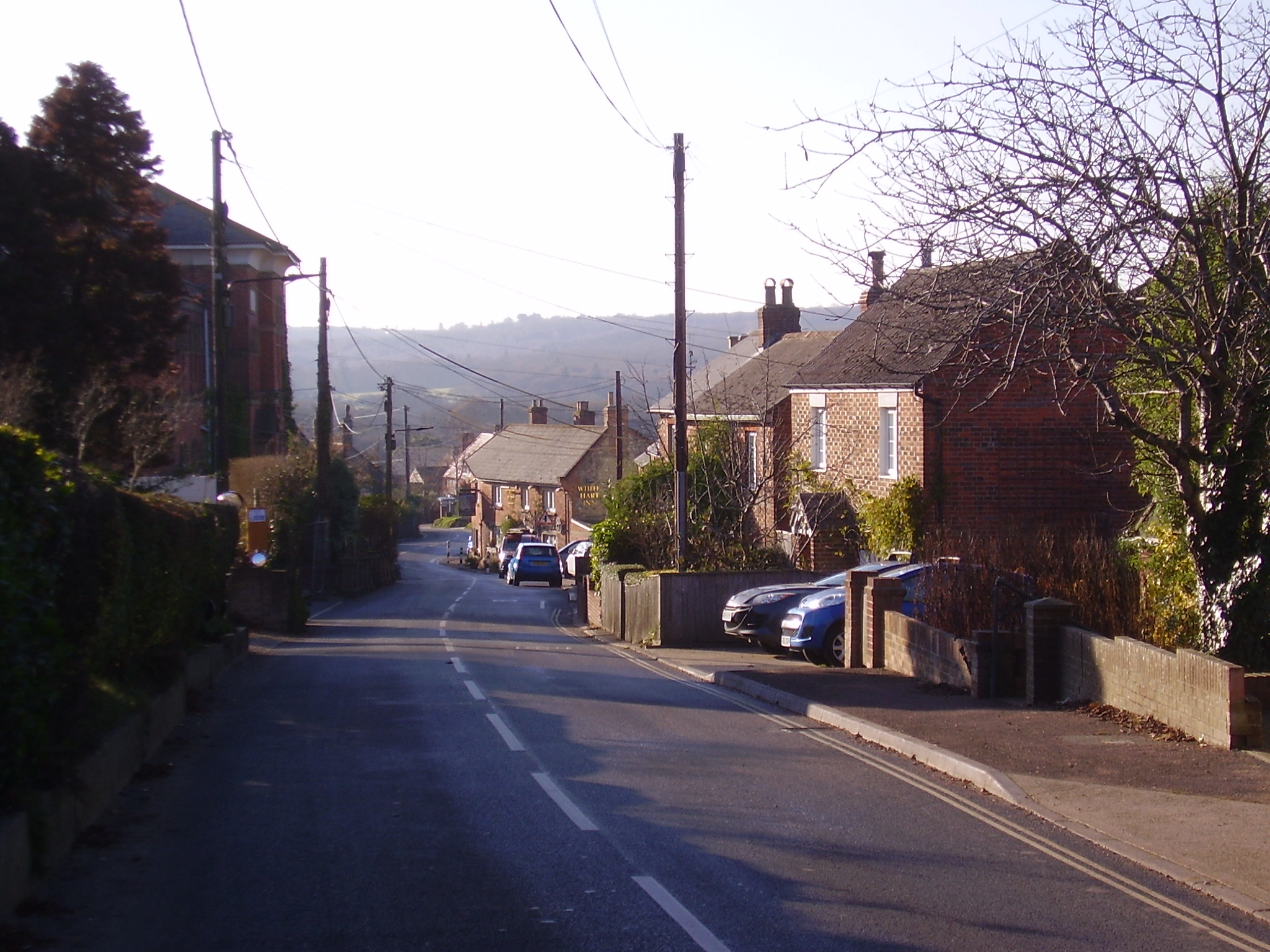
Haylands
Haylands is an area just to the south of Ryde on the Isle of Wight, off the south coast of England. At the time of the 2011 Census the population etc....
Havenstreet
Havenstreet is a village on the Isle of Wight, located about 2 miles southwest of Ryde, in the civil parish of Havenstreet and Ashey. == History == The...

Smallbrook Junction railway station
Smallbrook Junction railway station is a railway station on the Isle of Wight, England. It is unusual because it has no public access but exists purely...
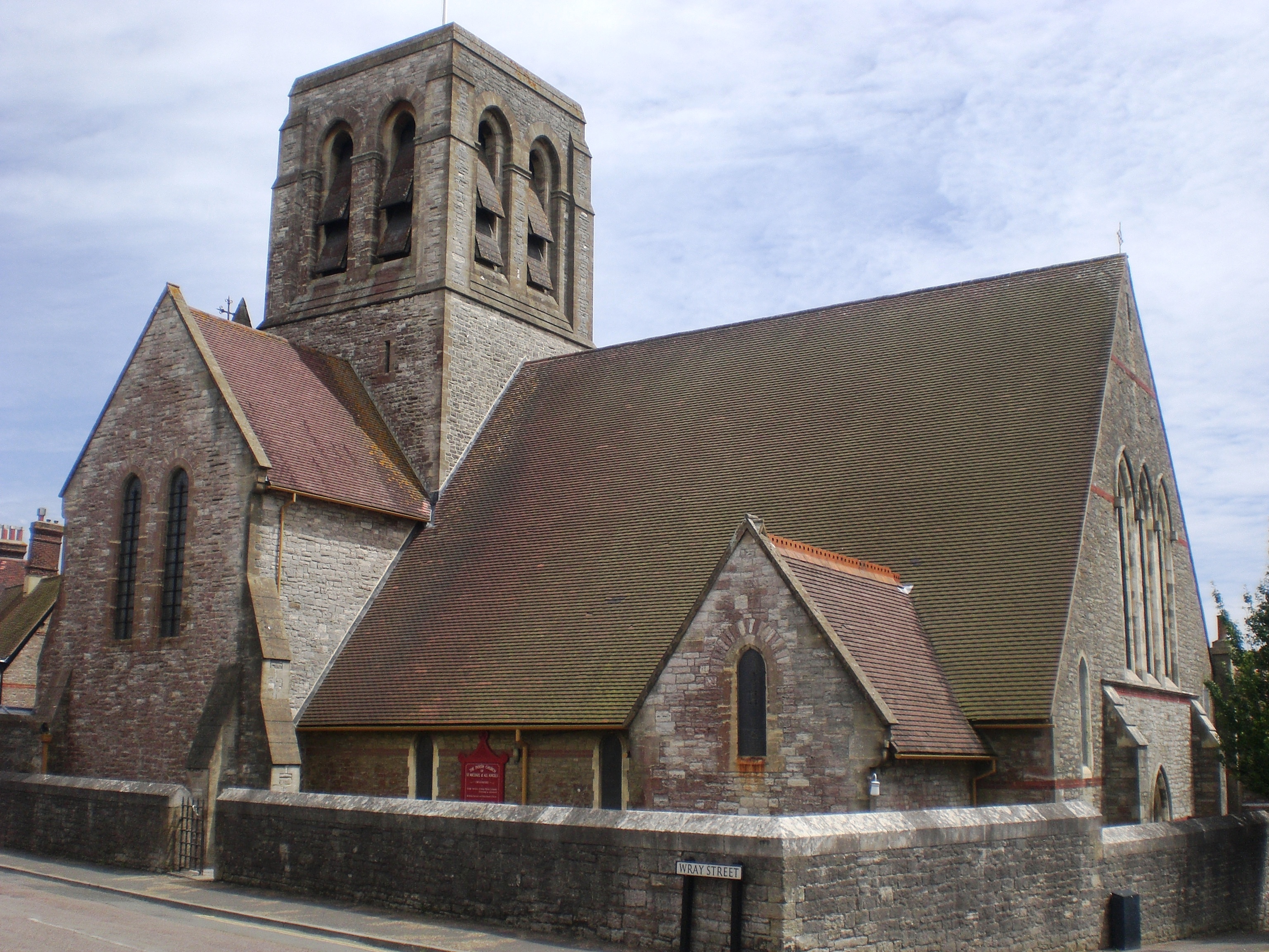
Church of St Michael and All Angels, Swanmore, Ryde
The Church of St. Michael and All Angels, Swanmore, near Haylands in Ryde is a former parish church in the Church of England located in Ryde, Isle of Wight...
Nearby Amenities
Located within 500m of 50.699951,-1.181519Have you been to Ashey?
Leave your review of Ashey below (or comments, questions and feedback).