Vanderplank's Covert
Wood, Forest in Northamptonshire
England
Vanderplank's Covert
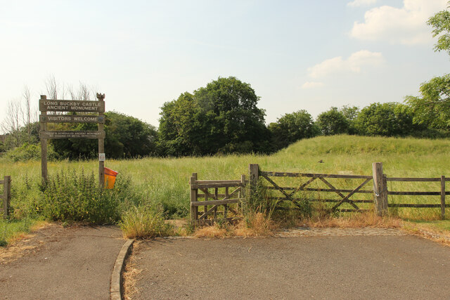
Vanderplank's Covert is a picturesque woodland located in the county of Northamptonshire, England. Situated in the heart of the countryside, this forested area spans approximately 100 acres, offering visitors a tranquil and immersive natural experience.
The woodland is characterized by its dense canopy of trees, primarily consisting of native species such as oak, beech, and birch. This diverse mix of trees provides a rich habitat for a variety of wildlife, including birds, mammals, and insects. Visitors will have the opportunity to observe and appreciate the area's biodiversity, with sightings of species such as deer, foxes, and numerous bird species being common.
Vanderplank's Covert is also known for its well-maintained footpaths and trails, allowing visitors to explore the forest at their own pace. These paths wind through the woodland, leading visitors past charming streams, vibrant wildflowers, and ancient trees. The forest is particularly stunning during the spring, when bluebells carpet the forest floor, creating a captivating display of color.
In addition to its natural beauty, Vanderplank's Covert offers various recreational activities. With designated picnic areas and benches scattered throughout the forest, visitors can enjoy a leisurely lunch amidst the serene surroundings. The woodland also provides an ideal setting for activities such as birdwatching, photography, and nature walks.
Vanderplank's Covert is a hidden gem in Northamptonshire, offering a peaceful retreat for nature enthusiasts and those seeking an escape from the hustle and bustle of everyday life. Its enchanting woodland, abundant wildlife, and scenic trails make it a must-visit destination for anyone looking to connect with nature.
If you have any feedback on the listing, please let us know in the comments section below.
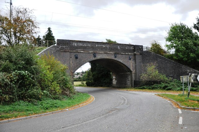
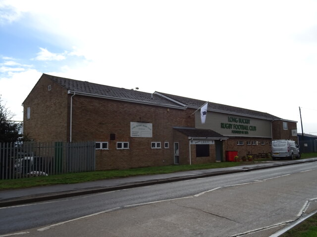
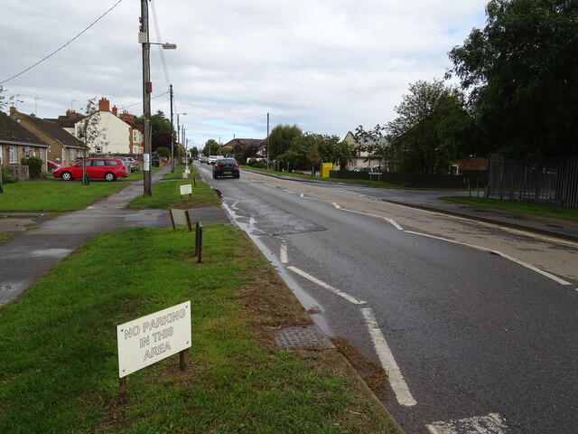
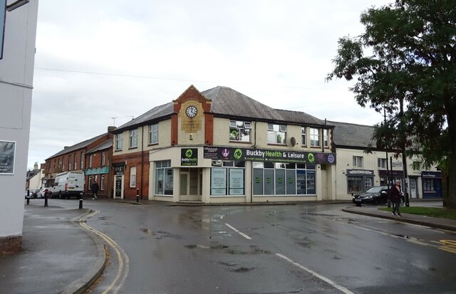
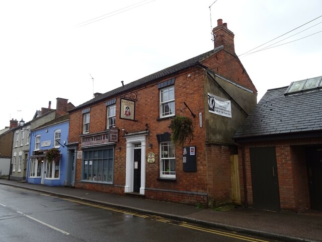
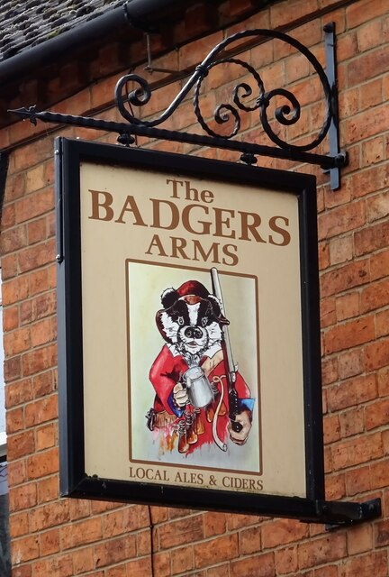
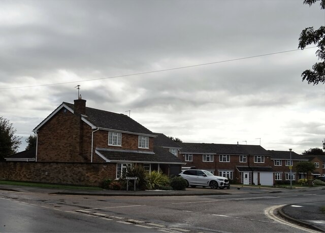
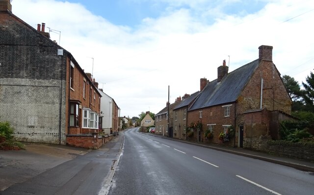
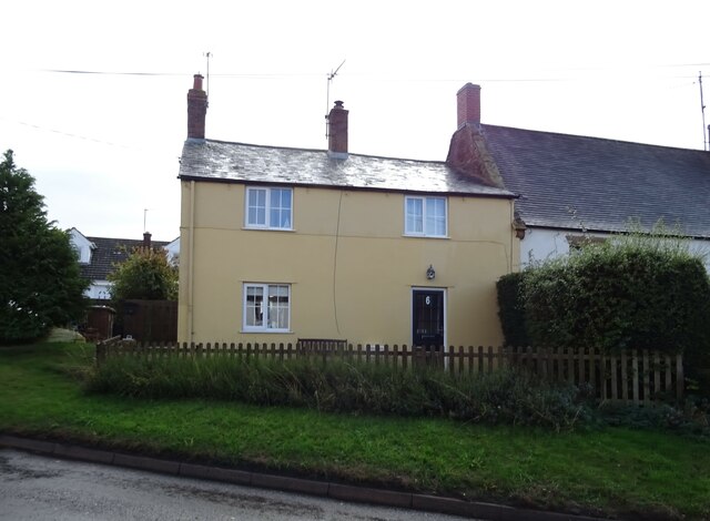
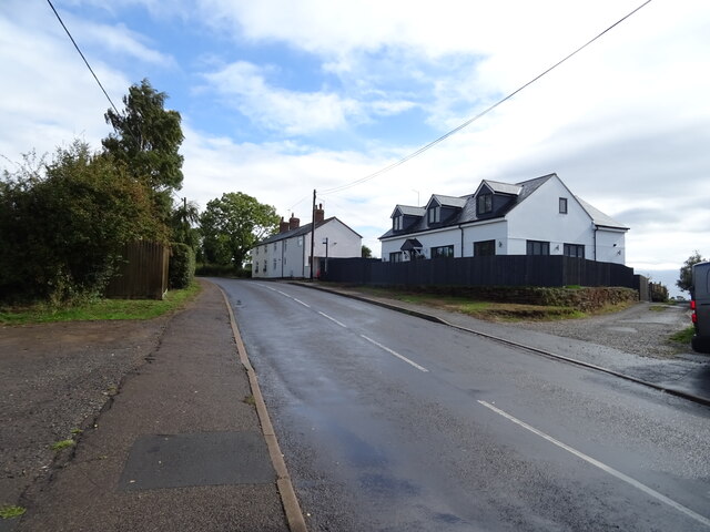
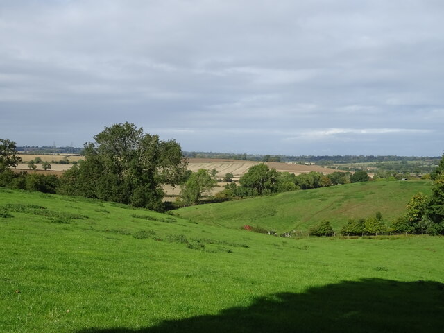
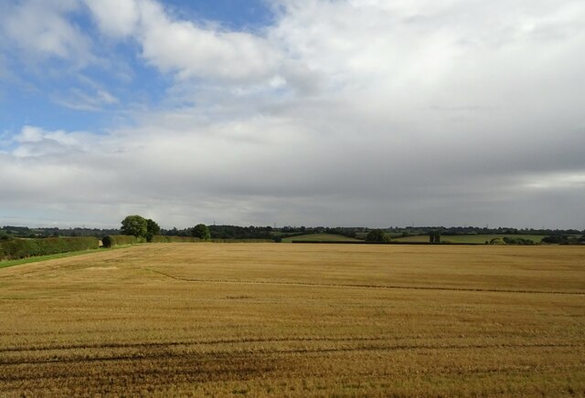
Vanderplank's Covert Images
Images are sourced within 2km of 52.315993/-1.0815838 or Grid Reference SP6269. Thanks to Geograph Open Source API. All images are credited.

Vanderplank's Covert is located at Grid Ref: SP6269 (Lat: 52.315993, Lng: -1.0815838)
Unitary Authority: West Northamptonshire
Police Authority: Northamptonshire
What 3 Words
///clays.violin.baffle. Near Long Buckby, Northamptonshire
Nearby Locations
Related Wikis

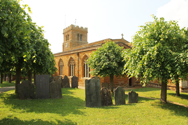
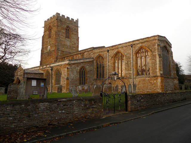
St Lawrence's Church, Long Buckby
St Lawrence's Church is an Anglican Church and the parish church of Long Buckby, Northamptonshire. It is a Grade II* listed building and stands on the...
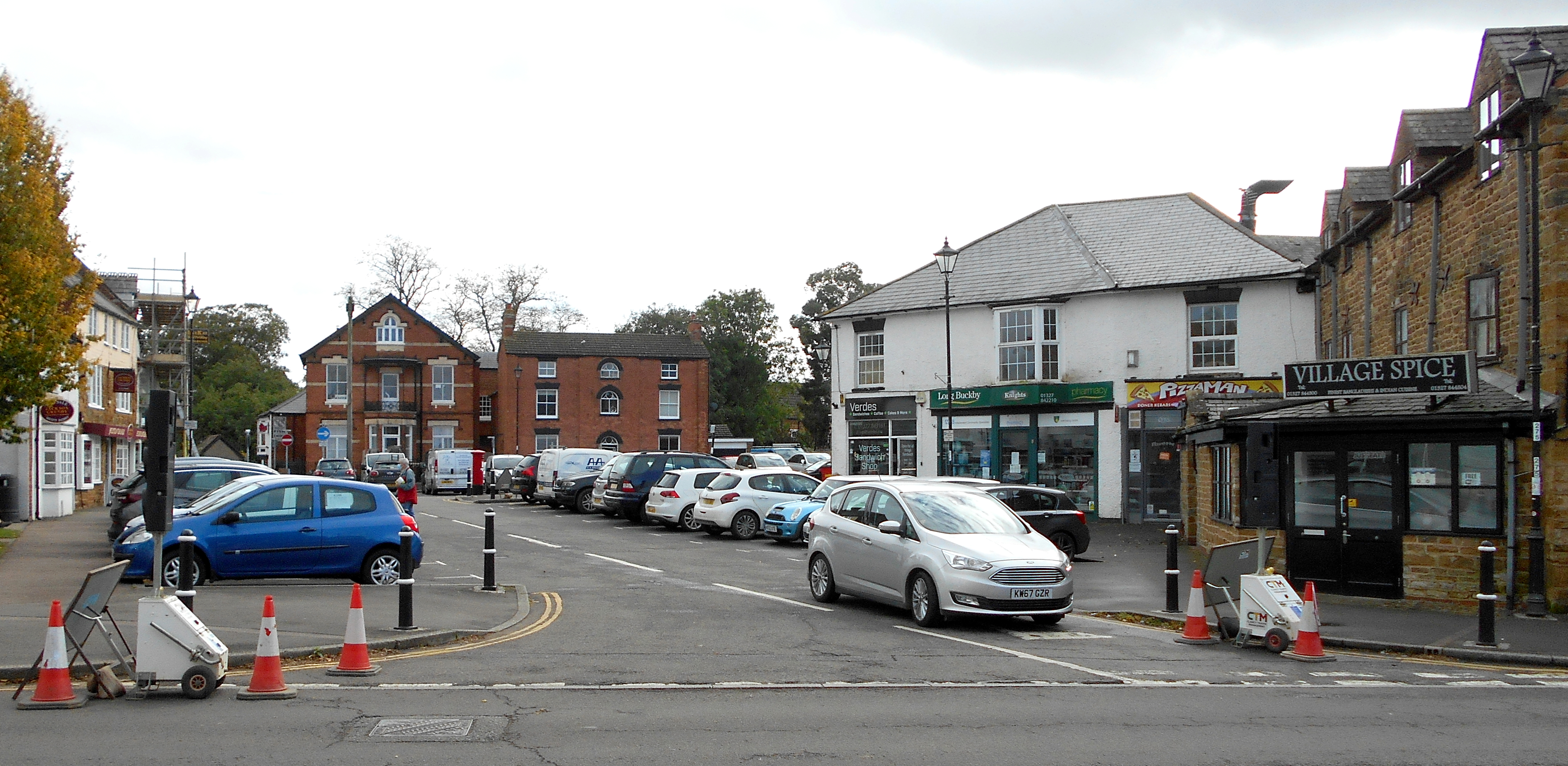
Long Buckby
Long Buckby is a large village and civil parish in West Northamptonshire, England. In the 2021 census the parish of Long Buckby, which includes the hamlet...

Murcott, Northamptonshire
Murcott is a hamlet in Watford civil parish, in Northamptonshire, approximately half a mile west of the village of Long Buckby. == External links... ==

Daventry (UK Parliament constituency)
Daventry is a constituency in Northamptonshire represented in the House of Commons of the UK Parliament since 2010 by Chris Heaton-Harris of the Conservative...
Long Buckby A.F.C.
Long Buckby Association Football Club is a football club based in Long Buckby, near Northampton, Northamptonshire, England. They are currently members...
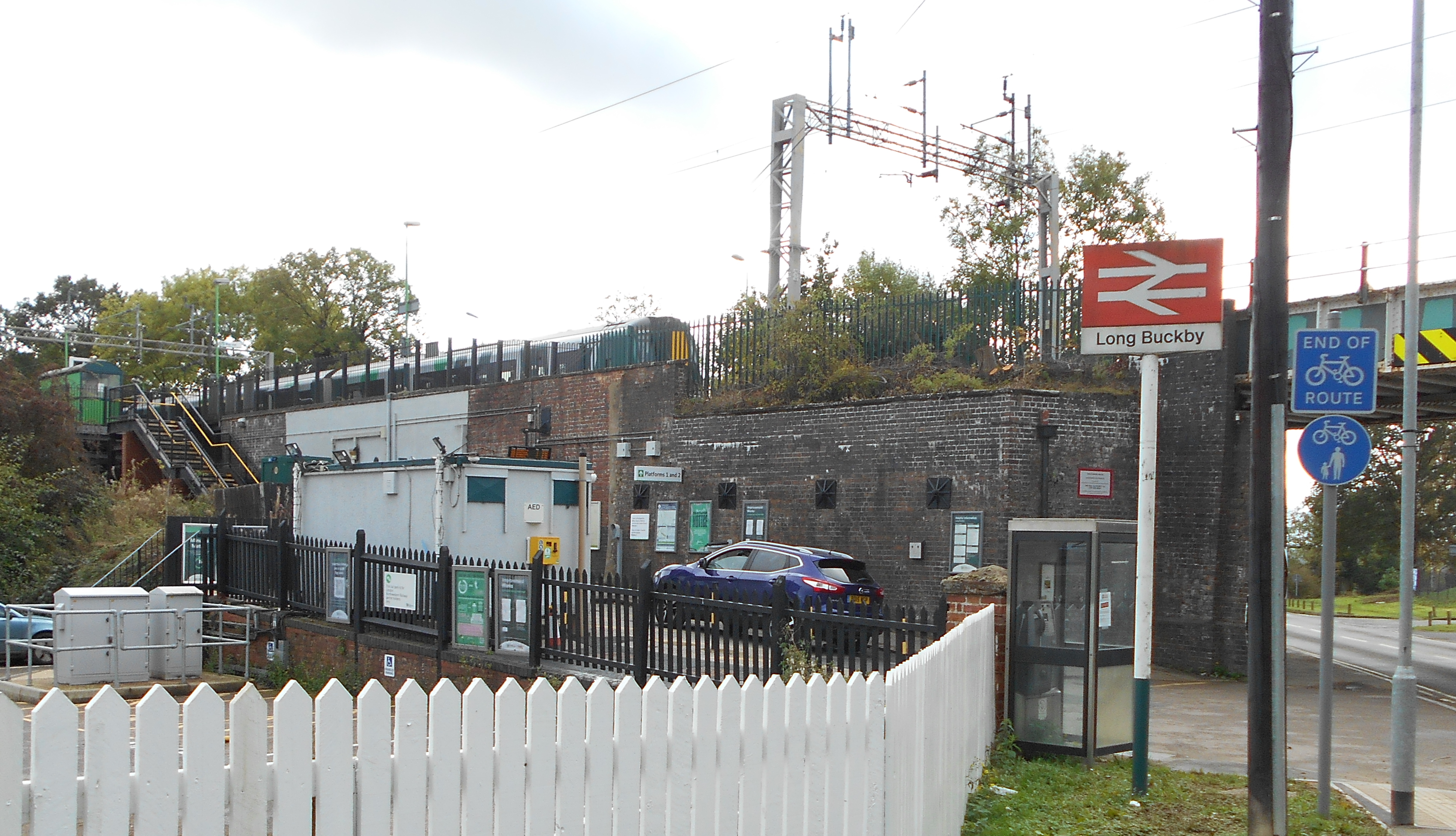
Long Buckby railway station
Long Buckby railway station is a small railway station next to the village of Long Buckby, Northamptonshire, England. It is the nearest railway station...
St Peter & St Paul's Church, Watford
St Peter & St Paul's Church is an Anglican Church and the parish church of Watford, Northamptonshire. It is a Grade I listed building and stands on the...

Watford, Northamptonshire
Watford is a village and civil parish in West Northamptonshire in England. At the time of the 2001 census, the parish's population was 224 people, including...
Nearby Amenities
Located within 500m of 52.315993,-1.0815838Have you been to Vanderplank's Covert?
Leave your review of Vanderplank's Covert below (or comments, questions and feedback).