Stanley Wood

Wood, Forest in Nottinghamshire Gedling

England

Stanley Wood

Rough grassland on the edge of Calverton
Rough grassland on the edge of Calverton Credit: Jonathan Thacker

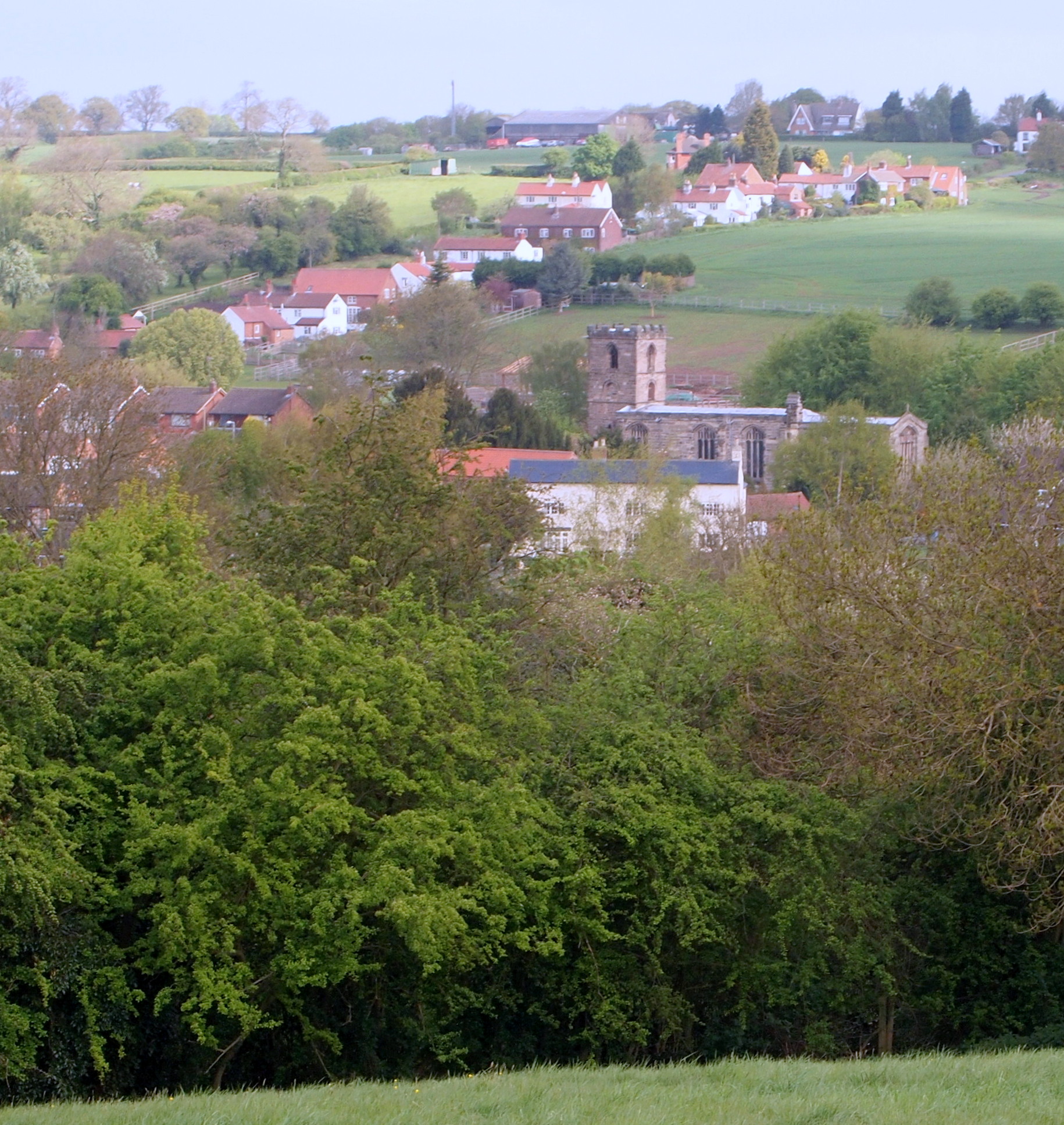
Stanley Wood is a small village located in the county of Nottinghamshire, England. Situated within the Sherwood Forest area, the village is known for its picturesque surroundings and abundant natural beauty. It is located approximately 12 miles north of Nottingham, the county town.

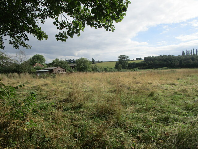
The village of Stanley Wood is characterized by its dense woodland areas, which provide a habitat for various wildlife species such as deer, birds, and small mammals. The forested landscape offers ample opportunities for outdoor activities, including hiking, cycling, and nature walks.

Despite being a rural village, Stanley Wood is well-connected to nearby towns and cities. The A60 road runs through the village, providing easy access to Nottingham and other surrounding areas. Additionally, the village is served by regular bus services, connecting residents to nearby towns and villages.

In terms of amenities, Stanley Wood offers a peaceful and close-knit community atmosphere. The village has a primary school, providing education for local children. Local shops and amenities can be found in nearby towns, ensuring that residents have access to essential services and facilities.

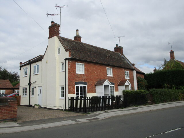
Historically, Stanley Wood has roots in the medieval period and has been mentioned in historical records dating back several centuries. The village has retained much of its traditional charm, with some of the original architecture still standing.

Overall, Stanley Wood offers residents a tranquil and idyllic village lifestyle, surrounded by the beauty of nature and the rich history of the Sherwood Forest area.

If you have any feedback on the listing, please let us know in the comments section below.
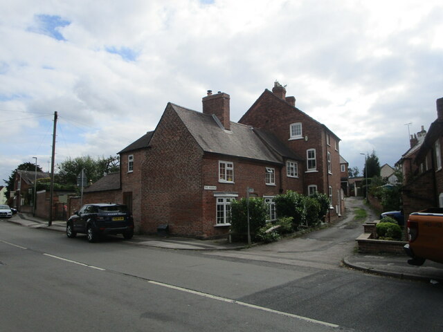
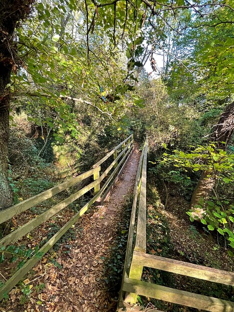
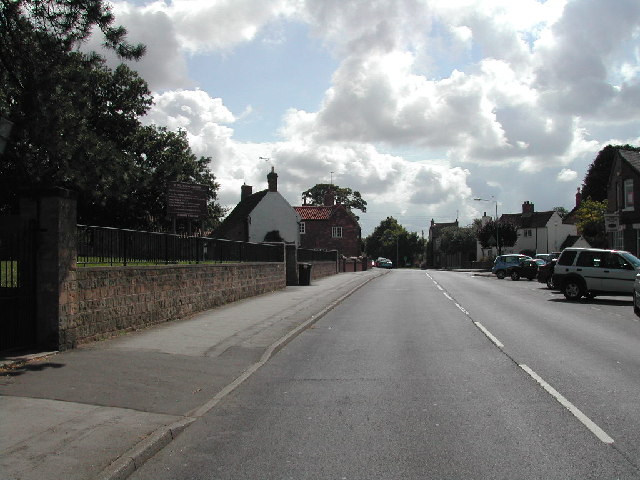
Stanley Wood Images

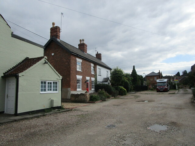
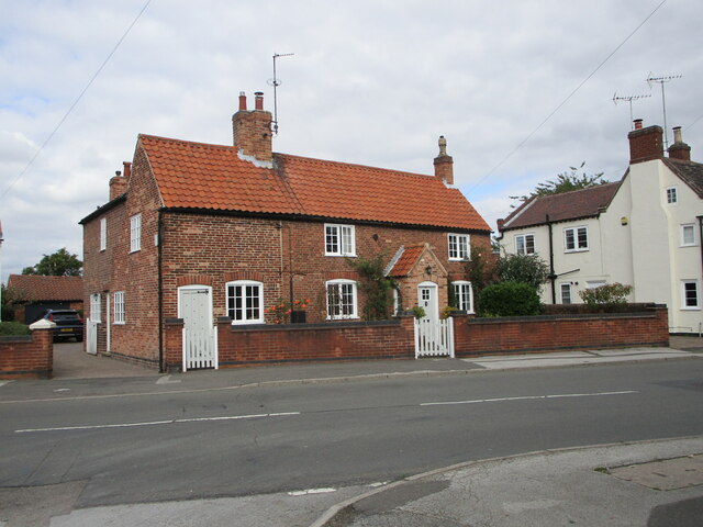
Images are sourced within 2km of 53.021384/-1.0678851 or Grid Reference SK6247. Thanks to Geograph Open Source API. All images are credited.

Rough grassland on the edge of Calverton
Burnor Pool, Calverton A private road but a public footpath.
Burnor Pool, Calverton
A private road but a public footpath.
18 Main Street, Calverton The greater part dates from the late eighteenth century <span class="nowrap"><a title="https://historicengland.org.uk/listing/the-list/list-entry/1264854" rel="nofollow ugc noopener" href="https://historicengland.org.uk/listing/the-list/list-entry/1264854">Link</a><img style="margin-left:2px;" alt="External link" title="External link - shift click to open in new window" src="https://s1.geograph.org.uk/img/external.png" width="10" height="10"/></span>
18 Main Street, Calverton
The greater part dates from the late eighteenth century LinkExternal link
14 and 16 Main Street, Calverton Early eighteenth century house now divided into two <span class="nowrap"><a title="https://historicengland.org.uk/listing/the-list/list-entry/1227471" rel="nofollow ugc noopener" href="https://historicengland.org.uk/listing/the-list/list-entry/1227471">Link</a><img style="margin-left:2px;" alt="External link" title="External link - shift click to open in new window" src="https://s1.geograph.org.uk/img/external.png" width="10" height="10"/></span>
14 and 16 Main Street, Calverton
Early eighteenth century house now divided into two LinkExternal link
Shopping precinct, Calverton The library on the immediate right.
Shopping precinct, Calverton
The library on the immediate right.
The Avenue, Calverton
Corner Cottage, Calverton Late seventeenth century cottage <span class="nowrap"><a title="https://historicengland.org.uk/listing/the-list/list-entry/1264843" rel="nofollow ugc noopener" href="https://historicengland.org.uk/listing/the-list/list-entry/1264843">Link</a><img style="margin-left:2px;" alt="External link" title="External link - shift click to open in new window" src="https://s1.geograph.org.uk/img/external.png" width="10" height="10"/></span>
Corner Cottage, Calverton
Late seventeenth century cottage LinkExternal link
Swithland slate headstones, Calverton
Windles Square, Calverton Former framework knitters' cottages dating from 1834 <span class="nowrap"><a title="https://historicengland.org.uk/listing/the-list/list-entry/1235886" rel="nofollow ugc noopener" href="https://historicengland.org.uk/listing/the-list/list-entry/1235886">Link</a><img style="margin-left:2px;" alt="External link" title="External link - shift click to open in new window" src="https://s1.geograph.org.uk/img/external.png" width="10" height="10"/></span>
Windles Square, Calverton
Former framework knitters' cottages dating from 1834 LinkExternal link
The Gleaners Inn
The Gleaners Inn
Calverton House A former vicarage <span class="nowrap"><a title="https://historicengland.org.uk/listing/the-list/list-entry/1227469" rel="nofollow ugc noopener" href="https://historicengland.org.uk/listing/the-list/list-entry/1227469">Link</a><img style="margin-left:2px;" alt="External link" title="External link - shift click to open in new window" src="https://s1.geograph.org.uk/img/external.png" width="10" height="10"/></span>
Calverton House
A former vicarage LinkExternal link
Field trees off Hungerhill Lane
Field trees below Jericho Farm
Field and tree viewed through a hedge Looking north from the bridleway.
Field and tree viewed through a hedge
Looking north from the bridleway.
Fields below High Pastures Looking north from the bridleway.
Fields below High Pastures
Looking north from the bridleway.
Hedge and footpath  Looking east towards Woodborough village.
Hedge and footpath
Looking east towards Woodborough village.
View over Bank Farm Looking north east from Nottingham Road.
View over Bank Farm
Looking north east from Nottingham Road.
Bridge over Bottom Dumble One of the Lambley Dumbles, a local dialect word for a steep-sided watercourse flowing through woodland.
Bridge over Bottom Dumble
One of the Lambley Dumbles, a local dialect word for a steep-sided watercourse flowing through woodland.
Show me another place!

Stanley Wood is located at Grid Ref: SK6247 (Lat: 53.021384, Lng: -1.0678851)

Administrative County: Nottinghamshire

District: Gedling

Police Authority: Nottinghamshire

What 3 Words

///snuck.breeze.smooth. Near Calverton, Nottinghamshire

Nearby Locations

Stanley Wood Woodborough

Related Wikis

Woodborough, Nottinghamshire

Woodborough is a village and civil parish in the Gedling district, in the county of Nottinghamshire, England. It is located 7 miles north-east of Nottingham...

St Swithun's Church, Woodborough

St Swithun's Church is a parish church in the Church of England in Woodborough, Nottinghamshire. == History == The church is medieval with the chancel...

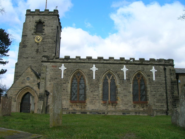
St Wilfrid's Church, Calverton

St Wilfrid's Church is a Grade II* listed parish church in the Church of England in Calverton, Nottinghamshire. == History == St Wilfrid’s church seems...

HM Prison Lowdham Grange

HM Prison Lowdham Grange is a Category B men's private prison, located in the village of Lowdham (near Nottingham) in Nottinghamshire, England. The prison...

Calverton, Nottinghamshire

Calverton () is a village and civil parish in Nottinghamshire, of some 3,300 acres (1,300 ha), in the Gedling district, about 7 miles north-east of Nottingham...

Holy Trinity Church, Lambley

Holy Trinity Church, Lambley is a Grade I listed parish church in the Church of England in Lambley, Nottinghamshire. == History == The church dates from...

Lambley, Nottinghamshire

Lambley is an English village and civil parish near Nottingham, England, hardly touched by urbanisation, as it lies in a green belt. The population recorded...

Colonel Frank Seely Academy

Colonel Frank Seely Academy (formerly Colonel Frank Seely School) is a coeducational secondary school and sixth form located in Calverton in the English...

Nearby Amenities

Located within 500m of 53.021384,-1.0678851
Turning Circle
Lat/Long: 53.0223473/-1.0657111
Bus Stop
Westfields Lane
Bench: no
Bus: yes
Naptan AtcoCode: 3300GE0241
Naptan Bearing: SE
Naptan CommonName: Westfields Lane
Naptan Crossing: Westfields Lane
Naptan Indicator: opp
Naptan NaptanCode: ntsatwpa
Naptan Notes: none
Naptan Street: Foxwood Lane
Naptan Verified: no
Public Transport: platform
Shelter: no
Source: naptan_import
Lat/Long: 53.0245836/-1.0704699
Bus Stop
Westfields Lane
Bus: yes
Naptan AtcoCode: 3300GE0242
Naptan Bearing: NW
Naptan CommonName: Westfields Lane
Naptan Crossing: Westfields Lane
Naptan Indicator: adj
Naptan NaptanCode: ntsatwpd
Naptan Notes: none
Naptan Street: Foxwood Lane
Naptan Verified: no
Public Transport: platform
Shelter: no
Source: naptan_import
Lat/Long: 53.0246579/-1.0707814
Bus Stop
Main Street
Bench: no
Bin: no
Bus: yes
Check Date Shelter: 2021-06-06
Lit: no
Naptan AtcoCode: 3300GE0250
Naptan Bearing: SE
Naptan CommonName: Main Street
Naptan Indicator: o/s 29
Naptan NaptanCode: ntsatwtg
Naptan Notes: none
Naptan Street: Main Street
Naptan Verified: no
Public Transport: platform
Shelter: no
Source: naptan_import
Tactile Paving: no
Lat/Long: 53.0240869/-1.0678863
Bus Stop
Park Avenue
Bench: no
Bin: no
Bus: yes
Naptan AtcoCode: 3300GE0252
Naptan Bearing: W
Naptan CommonName: Park Avenue
Naptan Crossing: Park Avenue
Naptan Indicator: adj
Naptan NaptanCode: ntsdtmwp
Naptan Notes: none
Naptan Street: Main Street
Naptan Verified: no
Public Transport: platform
Shelter: no
Source: naptan_import
Tactile Paving: no
Lat/Long: 53.0236469/-1.0656593
Bus Stop
Main Street
Bench: no
Bin: no
Bus: yes
Lit: no
Naptan AtcoCode: 3300GE0276
Naptan Bearing: NW
Naptan CommonName: Main Street
Naptan Indicator: opp 25
Naptan NaptanCode: ntsatwtw
Naptan Notes: none
Naptan Street: Main Street
Naptan Verified: no
Public Transport: platform
Shelter: no
Source: naptan_import
Tactile Paving: no
Lat/Long: 53.0241909/-1.06854
Bus Stop
Park Avenue
Bench: no
Bin: no
Bus: yes
Lit: no
Naptan AtcoCode: 3300GE0289
Naptan Bearing: E
Naptan CommonName: Park Avenue
Naptan Crossing: Park Avenue
Naptan Indicator: opp
Naptan NaptanCode: ntsatwdw
Naptan Notes: none
Naptan Street: Main Street
Naptan Verified: no
Public Transport: platform
Shelter: no
Source: naptan_import
Tactile Paving: no
Lat/Long: 53.0237943/-1.0649703
Man Made: mast
Note: looks like mobile mast
Source: Bing
Tower Type: communication
Lat/Long: 53.0200885/-1.0694559
Generator Method: photovoltaic
Generator Output Electricity: yes
Generator Source: solar
Generator Type: solar_photovoltaic_panel
Location: roof
Power: generator
Lat/Long: 53.0224031/-1.0618425
Generator Method: photovoltaic
Generator Output Electricity: yes
Generator Source: solar
Generator Type: solar_photovoltaic_panel
Location: roof
Power: generator
Lat/Long: 53.0241431/-1.0720099
Generator Method: photovoltaic
Generator Output Electricity: yes
Generator Source: solar
Generator Type: solar_photovoltaic_panel
Location: roof
Power: generator
Lat/Long: 53.0238246/-1.0719106
Generator Method: photovoltaic
Generator Output Electricity: yes
Generator Source: solar
Generator Type: solar_photovoltaic_panel
Location: roof
Power: generator
Lat/Long: 53.0239241/-1.071861
Generator Method: photovoltaic
Generator Output Electricity: yes
Generator Source: solar
Generator Type: solar_photovoltaic_panel
Location: roof
Power: generator
Lat/Long: 53.0229837/-1.0714721
Generator Method: photovoltaic
Generator Output Electricity: yes
Generator Source: solar
Generator Type: solar_photovoltaic_panel
Location: roof
Power: generator
Lat/Long: 53.0243172/-1.0724842
Generator Method: photovoltaic
Generator Output Electricity: yes
Generator Source: solar
Generator Type: solar_photovoltaic_panel
Location: roof
Power: generator
Lat/Long: 53.0252038/-1.0674157
Generator Method: photovoltaic
Generator Output Electricity: yes
Generator Source: solar
Generator Type: solar_photovoltaic_panel
Location: roof
Power: generator
Lat/Long: 53.0248072/-1.0648724
Generator Method: photovoltaic
Generator Output Electricity: yes
Generator Source: solar
Generator Type: solar_photovoltaic_panel
Location: roof
Power: generator
Lat/Long: 53.0219658/-1.0611731
Generator Method: photovoltaic
Generator Output Electricity: yes
Generator Source: solar
Generator Type: solar_photovoltaic_panel
Location: roof
Power: generator
Lat/Long: 53.0217092/-1.0612911
Generator Method: photovoltaic
Generator Output Electricity: yes
Generator Source: solar
Generator Type: solar_photovoltaic_panel
Location: roof
Power: generator
Lat/Long: 53.0214124/-1.0610001
Generator Method: photovoltaic
Generator Output Electricity: yes
Generator Source: solar
Generator Type: solar_photovoltaic_panel
Location: roof
Power: generator
Lat/Long: 53.0249145/-1.069954
Telephone
Defibrillator
Addr Postcode: NG14 6EA
Booth: K6
Covered: booth
Defibrillator Location: inside red phone box, Main Street, Woodborough
Emergency: defibrillator
Listed Status: Grade II
Man Made: telephone_box
Source Addr Postcode: ons_uprn_lookup
Lat/Long: 53.0244103/-1.0691175
Information: board
Tourism: information
Lat/Long: 53.0244006/-1.069078
Bus Stop
Bank Hill Farm
Bench: no
Bin: no
Bus: yes
Naptan AtcoCode: 3300GE0849
Naptan Bearing: E
Naptan CommonName: Bank Hill Farm
Naptan NaptanCode: ntsgwgp
Naptan PlusbusZoneRef: NTNG
Naptan Street: Bank Hill
Naptan Verified: no
Public Transport: platform
Shelter: no
Source: naptan_import
Lat/Long: 53.022004/-1.0720467
Bus Stop
Bank Hill Farm
Bench: no
Bin: no
Bus: yes
Lit: no
Naptan AtcoCode: 3300GE0848
Naptan Bearing: W
Naptan CommonName: Bank Hill Farm
Naptan Indicator: adj
Naptan NaptanCode: ntsgwgp
Naptan PlusbusZoneRef: NTNG
Naptan Street: Bank Hill
Naptan Verified: no
Public Transport: platform
Shelter: no
Source: naptan_import
Tactile Paving: no
Lat/Long: 53.0218837/-1.071985
Bus Stop
Woodborough Hall
Bench: no
Bus: yes
Naptan AtcoCode: 3300GE0847
Naptan Bearing: N
Naptan CommonName: Woodborough Hall
Naptan Indicator: opp
Naptan NaptanCode: ntsgwgp
Naptan PlusbusZoneRef: NTNG
Naptan Street: Bank Hill
Naptan Verified: no
Public Transport: platform
Shelter: no
Source: naptan_import
Lat/Long: 53.0236501/-1.0706309
Bus Stop
Woodborough Hall
Bench: no
Bin: no
Bus: yes
Lit: no
Naptan AtcoCode: 3300GE0846
Naptan Bearing: S
Naptan CommonName: Woodborough Hall
Naptan Indicator: adj
Naptan NaptanCode: ntsgwgp
Naptan PlusbusZoneRef: NTNG
Naptan Street: Bank Hill
Naptan Verified: no
Public Transport: platform
Shelter: no
Source: naptan_import
Lat/Long: 53.0239262/-1.0703039
Power: pole
Lat/Long: 53.0197375/-1.0612518
The data included in this document is from www.openstreetmap.org. The data is made available under ODbL.

Have you been to Stanley Wood?

Leave your review of Stanley Wood below (or comments, questions and feedback).