Thorning Grove
Wood, Forest in Oxfordshire South Oxfordshire
England
Thorning Grove

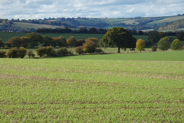
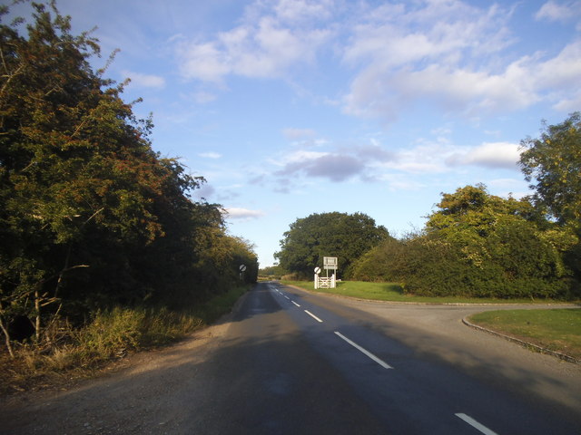
Thorning Grove is a picturesque woodland area located in Oxfordshire, England. Situated in the heart of the county, it is known for its tranquil and serene atmosphere, making it a popular destination for nature enthusiasts and outdoor enthusiasts alike.
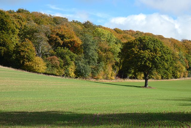
Covering a sprawling area of lush greenery and thick foliage, Thorning Grove is a haven for various species of flora and fauna. The woodland is predominantly composed of a diverse range of trees, including oak, beech, and chestnut, which create a dense canopy overhead, providing shade and shelter to the forest floor below.
The forest floor itself boasts a rich carpet of mosses, ferns, and wildflowers, adding to the visual appeal and biodiversity of the area. Additionally, the grove is crisscrossed by a network of meandering footpaths, allowing visitors to explore the woodlands and discover its hidden treasures.
Thorning Grove is also home to a variety of wildlife, including deer, foxes, and a myriad of bird species. Birdwatchers can spot woodpeckers, owls, and other woodland birds, making it an ideal spot for birdwatching enthusiasts.
The natural beauty of Thorning Grove is further enhanced by the presence of a small stream that winds its way through the woodland, adding to the peaceful ambiance of the area. This stream also provides a habitat for various aquatic creatures and adds to the overall charm of the grove.
Overall, Thorning Grove in Oxfordshire is a captivating woodlands that offers visitors a chance to escape the hustle and bustle of everyday life and immerse themselves in the tranquility of nature.
If you have any feedback on the listing, please let us know in the comments section below.
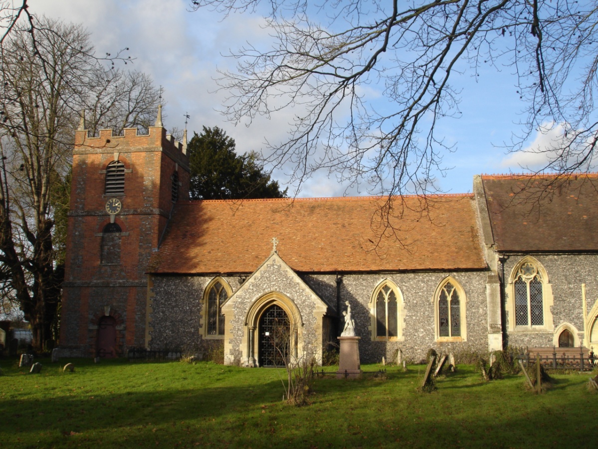
Thorning Grove Images
Images are sourced within 2km of 51.521426/-1.0993523 or Grid Reference SU6280. Thanks to Geograph Open Source API. All images are credited.


Thorning Grove is located at Grid Ref: SU6280 (Lat: 51.521426, Lng: -1.0993523)
Administrative County: Oxfordshire
District: South Oxfordshire
Police Authority: Thames Valley
What 3 Words
///busters.disgraced.eaten. Near Goring, Oxfordshire
Nearby Locations
Related Wikis

Goring Heath
Goring Heath is a hamlet and civil parish in the Chiltern Hills in South Oxfordshire. The civil parish includes the villages of Whitchurch Hill and Crays...

Elvendon
Elvendon is a small settlement in Oxfordshire and the Chiltern Hills, near Goring. It includes the grade II listed building Elvendon Priory. == Etymology... ==

Crays Pond
Crays Pond is a hamlet situated in the parish of Goring Heath in South Oxfordshire. Crays Pond is about 2.4 miles (3.9 km) northeast of Goring-on-Thames...
Goring Rural District
Goring was a rural district in Oxfordshire, England from 1894 to 1932. It was formed from that part of the Bradfield rural sanitary district which was...
The Oratory Preparatory School
The Oratory Prep School is a Roman Catholic day and boarding school for some 330 boys and girls aged from two to thirteen, founded in 1925. The school...

Hartslock
Hartslock, also known as Hartslock Woods, is a 41.8-hectare (103-acre) biological Site of Special Scientific Interest (SSSI) in a wooded area on the north...
St Bartholomew's Church, Lower Basildon
St Bartholomew's Church is the redundant Church of England parish church of Basildon in the English county of Berkshire. It lies in the hamlet of Lower...

Whitchurch Hill
Whitchurch Hill is a village in the Chiltern Hills in Oxfordshire, about 5.5 miles (9 km) northwest of Reading, Berkshire, near Whitchurch-on-Thames. The...
Nearby Amenities
Located within 500m of 51.521426,-1.0993523Have you been to Thorning Grove?
Leave your review of Thorning Grove below (or comments, questions and feedback).