Tocketts Lythe Plantation
Wood, Forest in Yorkshire
England
Tocketts Lythe Plantation

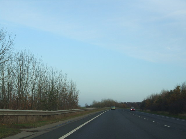
Tocketts Lythe Plantation is a picturesque woodland located in Yorkshire, England. Covering an area of approximately 200 acres, it is nestled within the North York Moors National Park, near the village of Guisborough. The plantation is characterized by its diverse range of tree species, including oak, beech, birch, and conifers, creating a rich and vibrant forest.
The woodland is known for its tranquil atmosphere and natural beauty, attracting visitors from far and wide. Walking trails wind their way through the plantation, offering visitors the opportunity to explore the enchanting woodland and immerse themselves in its peaceful ambiance. The paths are well-maintained, making it accessible to all, including families and individuals with limited mobility.
Wildlife thrives within Tocketts Lythe Plantation, with an array of animal species calling it their home. Visitors may catch glimpses of deer, foxes, badgers, and a wide variety of bird species as they explore the woodland. The plantation also provides a natural habitat for a diverse range of flora, including bluebells, wild garlic, and ferns, which add to its natural charm.
Tocketts Lythe Plantation offers more than just a tranquil retreat. It also serves as an essential resource for the local community. The woodland is sustainably managed, with periodic tree thinning and maintenance work carried out to ensure the health and longevity of the forest.
In summary, Tocketts Lythe Plantation is a stunning woodland in Yorkshire, offering visitors a peaceful and captivating experience. Its diverse range of flora and fauna, well-maintained trails, and sustainable management make it a cherished natural resource within the area.
If you have any feedback on the listing, please let us know in the comments section below.
Tocketts Lythe Plantation Images
Images are sourced within 2km of 54.545178/-1.0359537 or Grid Reference NZ6217. Thanks to Geograph Open Source API. All images are credited.


Tocketts Lythe Plantation is located at Grid Ref: NZ6217 (Lat: 54.545178, Lng: -1.0359537)
Division: North Riding
Unitary Authority: Redcar and Cleveland
Police Authority: Cleveland
What 3 Words
///monorail.bashful.protest. Near Guisborough, North Yorkshire
Nearby Locations
Related Wikis

Laurence Jackson School
Laurence Jackson School is a coeducational secondary school located in Guisborough, North Yorkshire, England. It has a capacity of 1,250 pupils. The school...

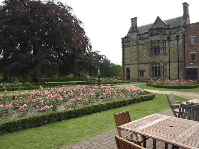
Gisborough Hall
Gisborough Hall is a 19th-century mansion house, now a hotel, at Guisborough, Redcar and Cleveland, England. It is a Grade II listed building. The manor...
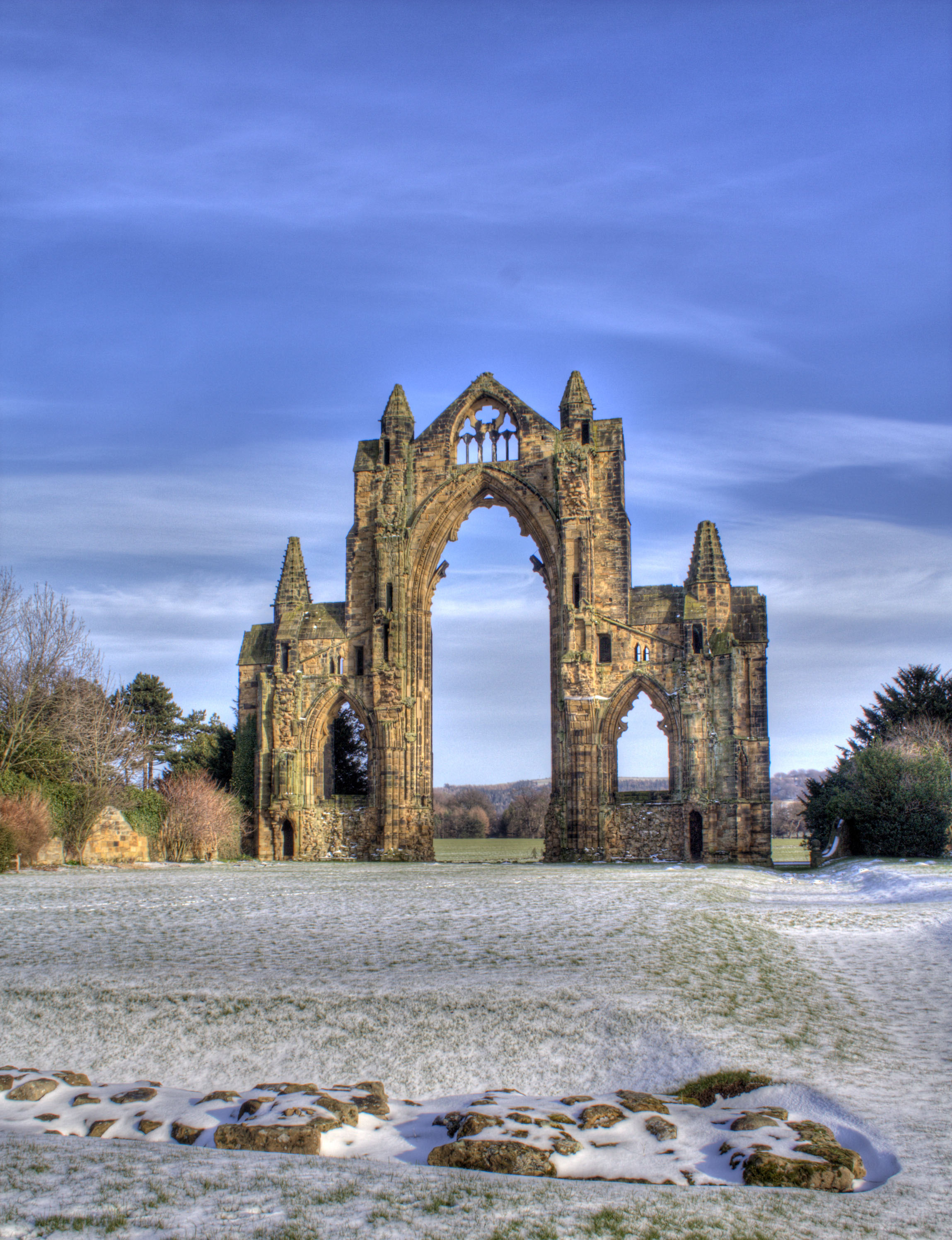
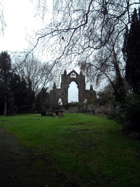
Gisborough Priory
Gisborough Priory is a ruined Augustinian priory in Guisborough in the current borough of Redcar and Cleveland, North Yorkshire, England. It was founded...
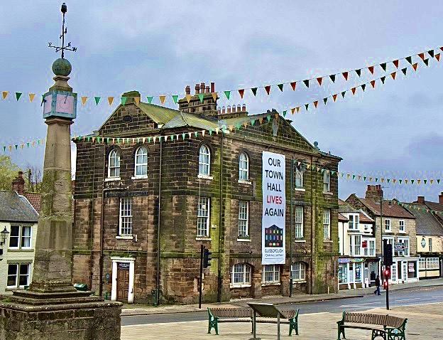
Guisborough Town Hall
Guisborough Town Hall is a municipal building on Westgate in Guisborough, North Yorkshire, England. The structure, which has mainly been used as a venue...
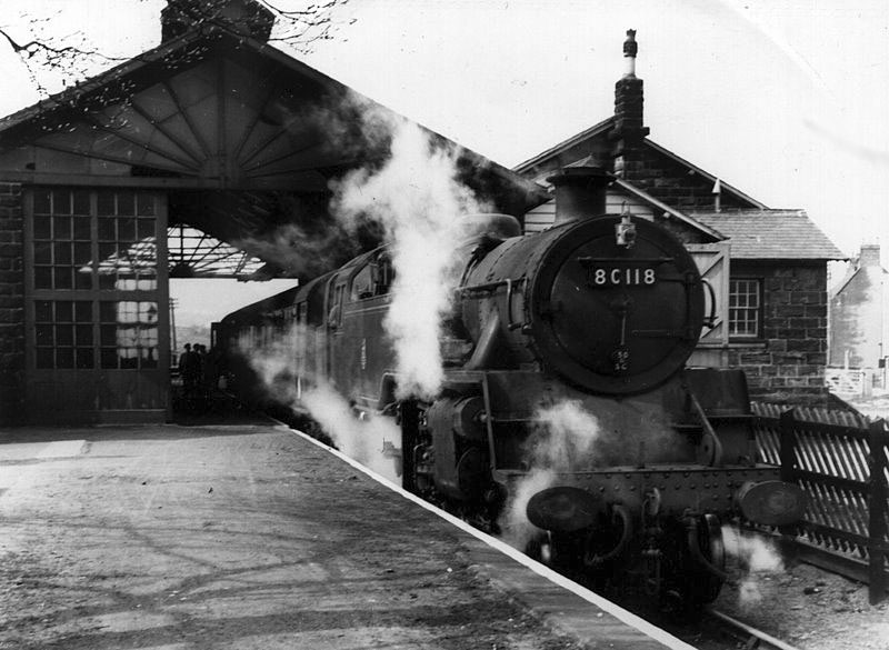
Guisborough railway station
Guisborough railway station was the terminus of the Middlesbrough and Guisborough Railway. It served the town of Guisborough in North Yorkshire, England...

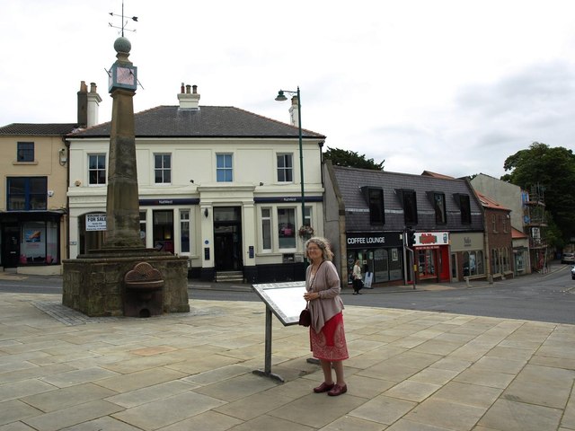
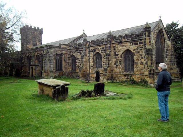
Guisborough
Guisborough ( GHIZ-bər-ə) is a market town and civil parish in the borough of Redcar and Cleveland, North Yorkshire, England. It lies north of the North...
Guisborough Town F.C.
Guisborough Town Football Club is a football club based in Guisborough, North Yorkshire, England. They are currently members of the Northern League Division...
Hutton Junction railway station
Hutton Junction railway station served the town of Guisborough, in the historical county of North Riding of Yorkshire, England, from 1878 to 1891 on the...
Nearby Amenities
Located within 500m of 54.545178,-1.0359537Have you been to Tocketts Lythe Plantation?
Leave your review of Tocketts Lythe Plantation below (or comments, questions and feedback).