Baker's Spinney

Wood, Forest in Oxfordshire South Oxfordshire

England

Baker's Spinney

Bus/Coach Request Stop at Waterperry Gardens This bus/coach request stop is near the entrance to Waterperry Gardens, although at one time it was a London Transport bus stop where Green Line coaches would also stop to pick up and set down passengers. However, there is no regular bus service to Waterperry Gardens, the nearest stop being on the A418 south of Waterstock, SP6304 refers.
Bus/Coach Request Stop at Waterperry Gardens Credit: David Hillas

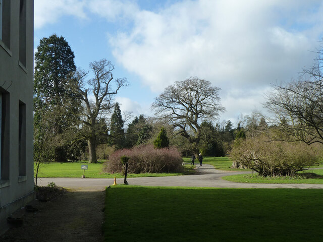
Baker's Spinney is a picturesque woodland located in Oxfordshire, England. Situated near the town of Wood, this forested area covers a vast expanse, providing a serene and tranquil escape from the hustle and bustle of city life.

The Spinney is characterized by its dense and diverse tree population, comprising mainly of oak, beech, and birch trees. These majestic trees create a lush canopy, shading the forest floor and creating a cool and refreshing atmosphere. The woodland is also home to a variety of wildlife, including rabbits, foxes, and a plethora of bird species.

The forest is intersected by several well-maintained walking trails, allowing visitors to explore the natural beauty of the area. These trails wind through the forest, leading visitors to discover hidden gems such as babbling brooks, wildflower meadows, and small clearings perfect for picnics or birdwatching.

In addition to its natural beauty, Baker's Spinney also holds historical significance. The area has been used for centuries as a source of timber for the local community and has even been referenced in historical documents dating back to the 13th century.

Overall, Baker's Spinney offers a tranquil retreat for nature lovers and outdoor enthusiasts. With its lush vegetation, diverse wildlife, and well-maintained trails, it provides the perfect opportunity to immerse oneself in the beauty of Oxfordshire's woodlands.

If you have any feedback on the listing, please let us know in the comments section below.

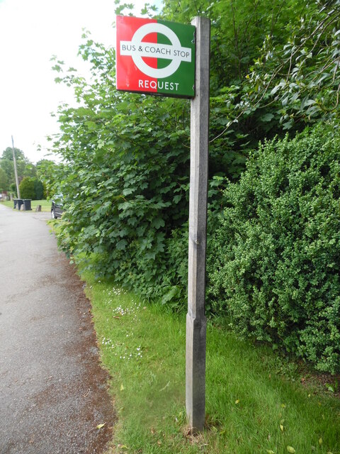
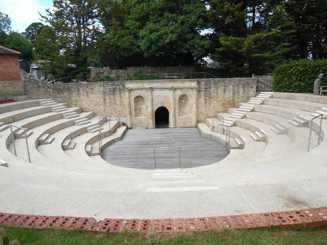
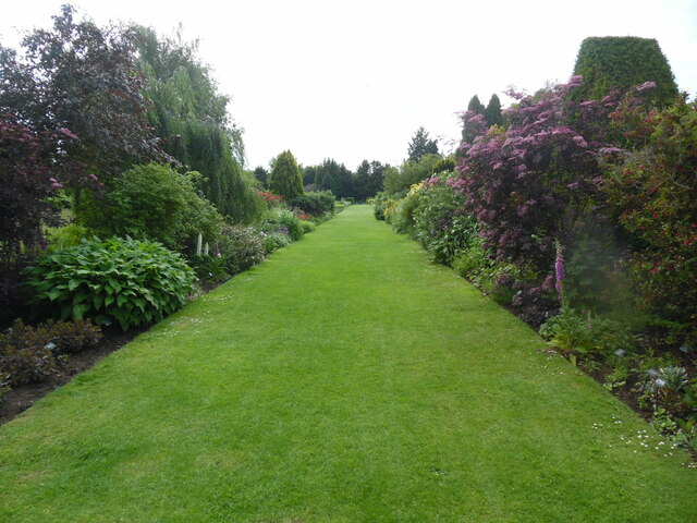
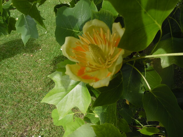
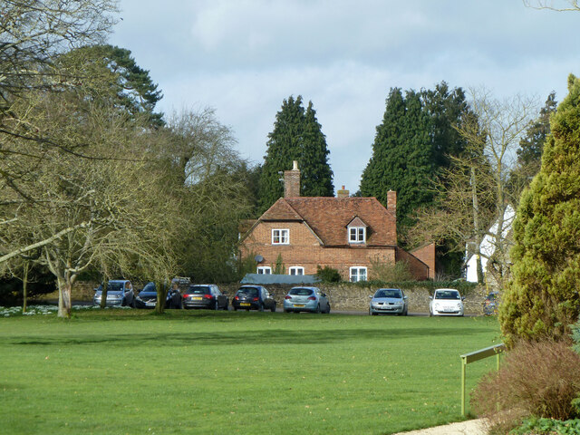
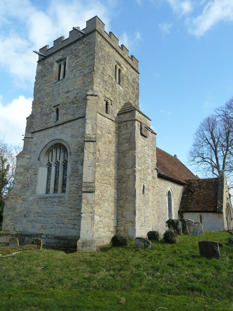
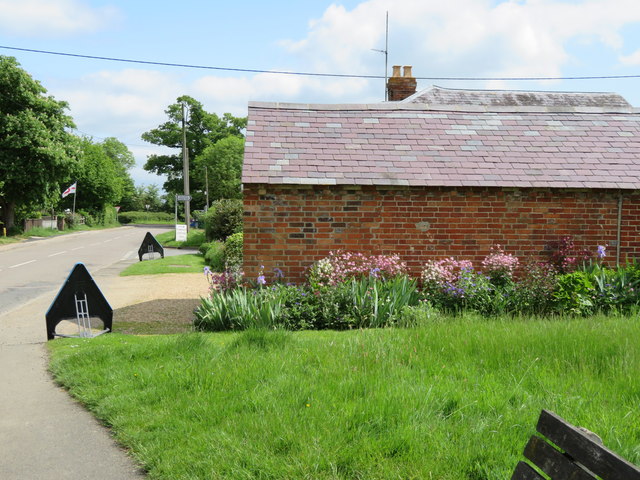
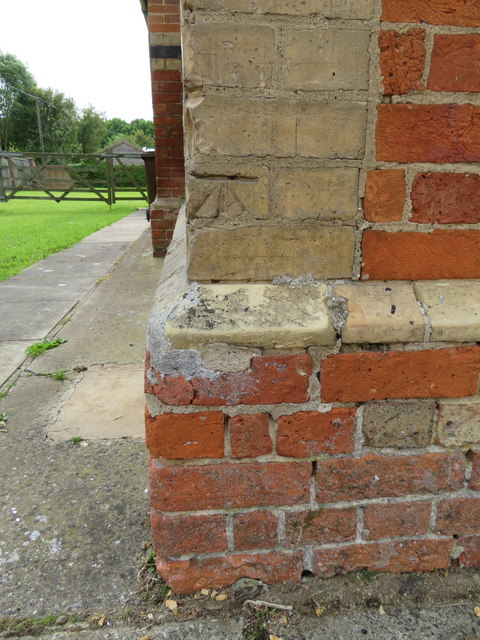
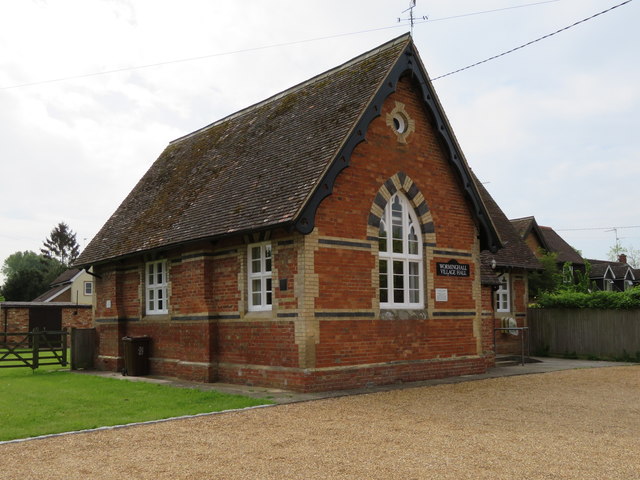
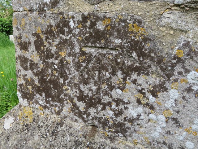
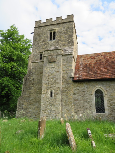
Baker's Spinney Images

Images are sourced within 2km of 51.764524/-1.0962921 or Grid Reference SP6207. Thanks to Geograph Open Source API. All images are credited.

Bus/Coach Request Stop at Waterperry Gardens This bus/coach request stop is near the entrance to Waterperry Gardens, although at one time it was a London Transport bus stop where Green Line coaches would also stop to pick up and set down passengers. However, there is no regular bus service to Waterperry Gardens, the nearest stop being on the A418 south of Waterstock, SP6304 refers.
Bus/Coach Request Stop at Waterperry Gardens
This bus/coach request stop is near the entrance to Waterperry Gardens, although at one time it was a London Transport bus stop where Green Line coaches would also stop to pick up and set down passengers. However, there is no regular bus service to Waterperry Gardens, the nearest stop being on the A418 south of Waterstock, SP6304 refers.
The Amphitheatre at Waterperry Gardens This photo shows the amphitheatre where theatre productions and opera performances take place during the summer months.
The Amphitheatre at Waterperry Gardens
This photo shows the amphitheatre where theatre productions and opera performances take place during the summer months.
Lawn with flowers at Waterperry Gardens This photo shows a lawn with a colour border of plants and shrubs.
Lawn with flowers at Waterperry Gardens
This photo shows a lawn with a colour border of plants and shrubs.
Flower of a Tulip Tree at Waterperry Gardens This photo shows a flower of a tulip tree in Waterperry Gardens. Details of the tulip tree or liriodendron can be found on the Wikipedia website at <span class="nowrap"><a title="https://en.wikipedia.org/wiki/Liriodendron" rel="nofollow ugc noopener" href="https://en.wikipedia.org/wiki/Liriodendron">Link</a><img style="margin-left:2px;" alt="External link" title="External link - shift click to open in new window" src="https://s1.geograph.org.uk/img/external.png" width="10" height="10"/></span>.
Flower of a Tulip Tree at Waterperry Gardens
This photo shows a flower of a tulip tree in Waterperry Gardens. Details of the tulip tree or liriodendron can be found on the Wikipedia website at LinkExternal link.
Red Granite Obelisk in Waterperry Gardens (1) This obelisk was designed and carved by Simon Buchanan, and is the brainchild of the School of Economic Science who own Waterperry Gardens. The wording on the right side says "Peace And Peace And Peace Be Every Where". The Walled Garden can be seen in the background.
Red Granite Obelisk in Waterperry Gardens (1)
This obelisk was designed and carved by Simon Buchanan, and is the brainchild of the School of Economic Science who own Waterperry Gardens. The wording on the right side says "Peace And Peace And Peace Be Every Where". The Walled Garden can be seen in the background.
Red Granite Obelisk in Waterperry Gardens (2) This obelisk was commissioned by the School of Economic Science so that visitors can have a greater understanding of the philosophical principles of the School by expressing a common aim of members. It is similar to those of Egyptian style and incorporates an ancient prayer traditionally recited in Sanskrit and translated into English.
 The obelisk also expresses a desire that peace should be everywhere in the wording:
 'All be happy. All be without disease. All creatures have well-being and none should be in misery of any sort'.
Red Granite Obelisk in Waterperry Gardens (2)
This obelisk was commissioned by the School of Economic Science so that visitors can have a greater understanding of the philosophical principles of the School by expressing a common aim of members. It is similar to those of Egyptian style and incorporates an ancient prayer traditionally recited in Sanskrit and translated into English. The obelisk also expresses a desire that peace should be everywhere in the wording: 'All be happy. All be without disease. All creatures have well-being and none should be in misery of any sort'.
Viewing Tower in the Walled Garden at Waterperry Gardens This viewing tower in the Walled Garden was officially opened on Friday 20th September 2019. Founded by the School of Philosophy and Economic Science, it was
designed by David Hockney and built by John Franks. A cockerel sculpture has been fixed to the top of the tower.
Viewing Tower in the Walled Garden at Waterperry Gardens
This viewing tower in the Walled Garden was officially opened on Friday 20th September 2019. Founded by the School of Philosophy and Economic Science, it was designed by David Hockney and built by John Franks. A cockerel sculpture has been fixed to the top of the tower.
Waterperry church St. Mary's is a grade I listed building, Saxon in origin.
Waterperry church
St. Mary's is a grade I listed building, Saxon in origin.
Waterperry Gardens Looking from by the house to the freely open part of the estate.
Waterperry Gardens
Looking from by the house to the freely open part of the estate.
Former farmhouse, Waterperry Now two houses, one behind the other in this view. Grade II listed, late 18th century, perhaps partly earlier.
Former farmhouse, Waterperry
Now two houses, one behind the other in this view. Grade II listed, late 18th century, perhaps partly earlier.
Worminghall church The church of St Peter and St Paul is a grade II*(star) listed building, originally Norman, but much tinkered with and rebuilt over the years.
Worminghall church
The church of St Peter and St Paul is a grade II*(star) listed building, originally Norman, but much tinkered with and rebuilt over the years.
Damaged bench mark in Clifden Road, Worminghall This Ordnance Survey bench mark is on the north west face of a small building/garage alongside Clifden Road. The mark is no longer recorded on the O.S. database, and it looks as though it might have been cancelled.  See also <a href="https://www.geograph.org.uk/photo/4970370">SP6408 : Small building in Clifden Road, Worminghall</a>
Damaged bench mark in Clifden Road, Worminghall
This Ordnance Survey bench mark is on the north west face of a small building/garage alongside Clifden Road. The mark is no longer recorded on the O.S. database, and it looks as though it might have been cancelled. See also SP6408 : Small building in Clifden Road, Worminghall
Small building in Clifden Road, Worminghall Looking north east along Clifden Road from the bus layby.  There is an Ordnance Survey bench mark on the roadside face of the small building in front of the camera - <a href="https://www.geograph.org.uk/photo/4970358">SP6408 : Damaged bench mark in Clifden Road, Worminghall</a>  Old maps show that the village pound was once on the grassy area this side of the building.
Small building in Clifden Road, Worminghall
Looking north east along Clifden Road from the bus layby. There is an Ordnance Survey bench mark on the roadside face of the small building in front of the camera - SP6408 : Damaged bench mark in Clifden Road, Worminghall Old maps show that the village pound was once on the grassy area this side of the building.
Bench mark on Worminghall Village Hall This Ordnance Survey bench mark is on the west face of the north west corner of the village hall.  Originally the building was the village school.  See also <a href="https://www.geograph.org.uk/photo/4970679">SP6408 : Worminghall Village Hall</a>
Bench mark on Worminghall Village Hall
This Ordnance Survey bench mark is on the west face of the north west corner of the village hall. Originally the building was the village school. See also SP6408 : Worminghall Village Hall
Worminghall Village Hall Worminghall Village Hall used to be the village school.  A school existed in Worminghall as far back as the 1820s, set up by Viscountess Clifden, but I don't know if it was in this building.  There is an Ordnance Survey bench mark on the corner of the building nearest the camera - <a href="https://www.geograph.org.uk/photo/4970660">SP6408 : Bench mark on Worminghall Village Hall</a>
Worminghall Village Hall
Worminghall Village Hall used to be the village school. A school existed in Worminghall as far back as the 1820s, set up by Viscountess Clifden, but I don't know if it was in this building. There is an Ordnance Survey bench mark on the corner of the building nearest the camera - SP6408 : Bench mark on Worminghall Village Hall
Bench mark on SS Peter and Paul church, Worminghall This Ordnance Survey bench mark is on the south east face of the south west tower buttress of the church.  The cut mark is no longer recorded on the Ordnance Survey database, and was last recorded on the O.S map of 1922/3.  See also <a href="https://www.geograph.org.uk/photo/4970982">SP6408 : The tower of SS Peter and Paul, Worminghall</a>
Bench mark on SS Peter and Paul church, Worminghall
This Ordnance Survey bench mark is on the south east face of the south west tower buttress of the church. The cut mark is no longer recorded on the Ordnance Survey database, and was last recorded on the O.S map of 1922/3. See also SP6408 : The tower of SS Peter and Paul, Worminghall
The tower of SS Peter and Paul, Worminghall There is an Ordnance Survey bench mark on the south east face of the south west buttress of the church tower - that is the buttress on the left of the photo.  See <a href="https://www.geograph.org.uk/photo/4970938">SP6408 : Bench mark on SS Peter and Paul church, Worminghall</a>
The tower of SS Peter and Paul, Worminghall
There is an Ordnance Survey bench mark on the south east face of the south west buttress of the church tower - that is the buttress on the left of the photo. See SP6408 : Bench mark on SS Peter and Paul church, Worminghall
Father time on Worminghall Village Hall This Father Time weather vane on the village hall seems to be a replica, or at least a copy of the 1926 one at Lords cricket ground. I don't know why it adorns this building, but there was a village cricket team in the 19th century, so perhaps there still is one?
Father time on Worminghall Village Hall
This Father Time weather vane on the village hall seems to be a replica, or at least a copy of the 1926 one at Lords cricket ground. I don't know why it adorns this building, but there was a village cricket team in the 19th century, so perhaps there still is one?
Show me another place!

Baker's Spinney is located at Grid Ref: SP6207 (Lat: 51.764524, Lng: -1.0962921)

Administrative County: Oxfordshire

District: South Oxfordshire

Police Authority: Thames Valley

What 3 Words

///zeal.unfolds.opts. Near Wheatley, Oxfordshire

Related Wikis

Waterperry with Thomley

Waterperry with Thomley is a civil parish in the South Oxfordshire district, in the county of Oxfordshire, England. It includes the village of Waterperry...

Waterperry

Waterperry is a village and former civil parish, now in the parish of Waterperry with Thomley, in the South Oxfordshire district, in Oxfordshire and close...

Waterperry Gardens

Waterperry Gardens are gardens with a museum in the village of Waterperry, near Wheatley, east of Oxford in Oxfordshire, England. == Description == Beatrix...

Hundred of Hormer

Hormer was an ancient hundred of Berkshire, England. It consisted of the area immediately west of Oxford within the bend of the River Thames, all of which...

Worminghall

Worminghall is a village and civil parish in the Buckinghamshire district of the ceremonial county of Buckinghamshire, England. The village is beside a...

Waterstock

Waterstock is a village and civil parish on the River Thame about 4.5 miles (7 km) west of the market town of Thame in Oxfordshire. The parish is bounded...

Waterperry Wood

Waterperry Wood is a 137-hectare (340-acre) biological Site of Special Scientific Interest (SSSI) east of Oxford in Oxfordshire. It is a Nature Conservation...

RAF Oakley

RAF Oakley is a former Royal Air Force satellite station between Oakley and Worminghall, Buckinghamshire, England. It was located in a flat, damp wooded...

Nearby Amenities

Located within 500m of 51.764524,-1.0962921
Power: tower
Lat/Long: 51.7662492/-1.0930671
Power: tower
Lat/Long: 51.763696/-1.0961989
Power: tower
Lat/Long: 51.760816/-1.0996341
Power: pole
Source: Bing
Lat/Long: 51.7635175/-1.1017872
Power: pole
Source: Bing
Lat/Long: 51.7631656/-1.1009557
Material: wood
Power: pole
Source: Bing
Lat/Long: 51.7639093/-1.102667
Man Made: mast
Tower Type: communication
Lat/Long: 51.7657574/-1.0992756
The data included in this document is from www.openstreetmap.org. The data is made available under ODbL.

Have you been to Baker's Spinney?

Leave your review of Baker's Spinney below (or comments, questions and feedback).