Robson's Spring

Wood, Forest in Yorkshire Ryedale

England

Robson's Spring

B1257 near Oswaldkirk
B1257 near Oswaldkirk Credit: David Dixon

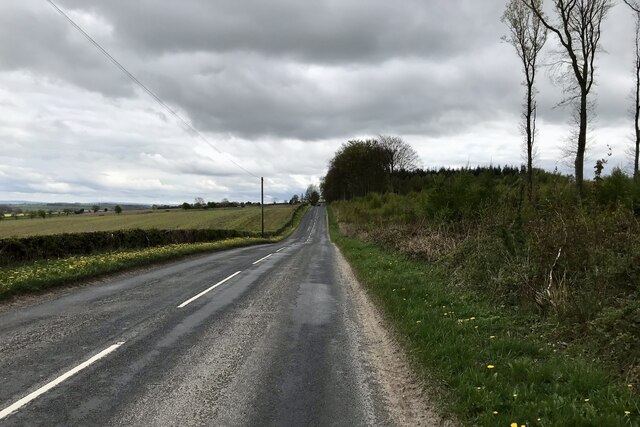
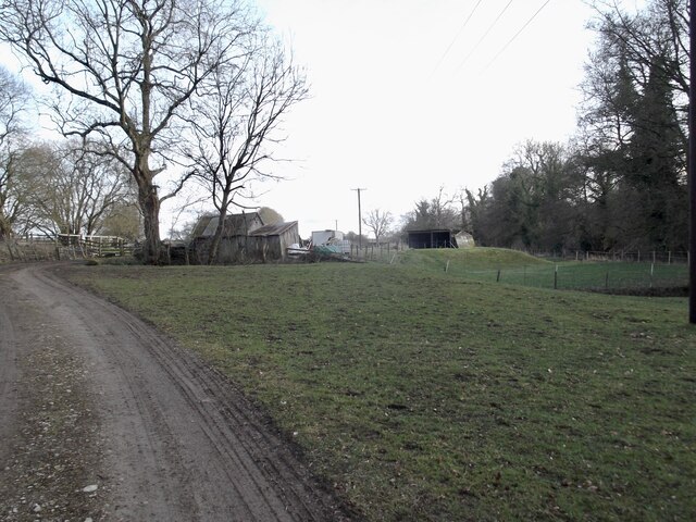
Robson's Spring, located in Yorkshire, is a picturesque woodland area known for its natural beauty and serene atmosphere. Situated in the heart of a dense forest, this enchanting spring is a popular destination for nature enthusiasts and hikers alike.

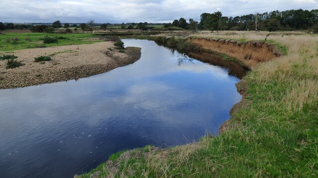
The spring itself is a small, crystal-clear water source that emerges from the ground, creating a peaceful babbling brook that flows through the surrounding woodland. The water is said to be incredibly pure and has been a source of fascination for locals and visitors for centuries.

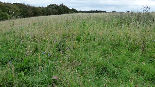
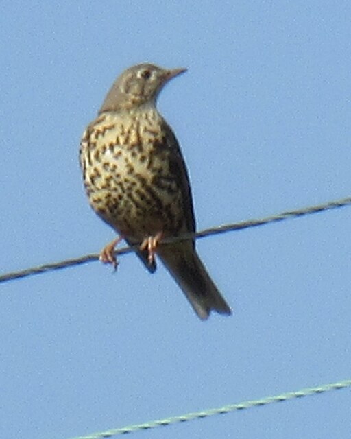
Surrounded by towering ancient trees, Robson's Spring exudes a sense of tranquility that is unmatched. The lush greenery provides a stunning backdrop for the spring and creates a haven for a wide variety of flora and fauna. Visitors can expect to encounter a diverse range of plant species, including wildflowers, ferns, and mosses, as well as an array of bird and animal life.

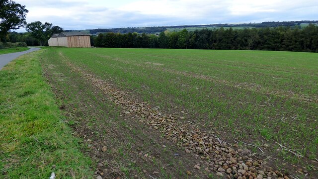
The area surrounding Robson's Spring offers numerous walking trails and pathways, allowing visitors to explore the beauty of the woodland at their own pace. The trails wind through the forest, offering glimpses of wildlife and providing opportunities for birdwatching and photography.

Robson's Spring is a hidden gem within Yorkshire's natural landscape. Its unspoiled beauty and tranquil surroundings make it an ideal destination for those seeking solace in nature or wishing to immerse themselves in the peacefulness of the forest.

If you have any feedback on the listing, please let us know in the comments section below.

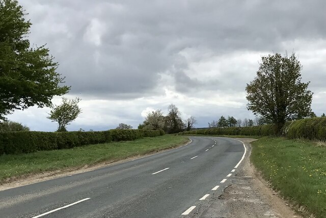
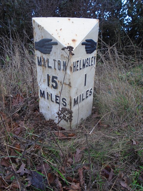
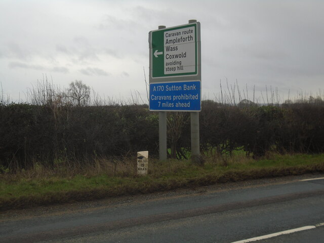
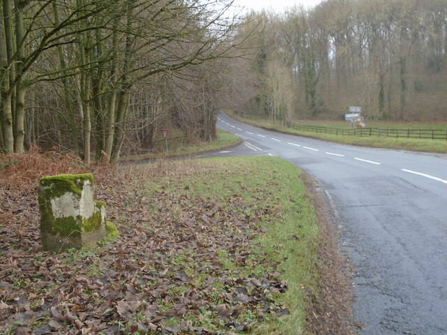
Robson's Spring Images

Images are sourced within 2km of 54.224436/-1.0442681 or Grid Reference SE6281. Thanks to Geograph Open Source API. All images are credited.

B1257 near Oswaldkirk
New milepost In 2003 the milepost at this site was recorded as cracked but repaired.   In 2010 it was destroyed by vehicular impact.   It had been cast at the foundry of F Mattison & Co. Bedale.   Ryedale UDC had this identical replacement cast at Cleveland Corrosion and it was set up in 2011.
New milepost
In 2003 the milepost at this site was recorded as cracked but repaired. In 2010 it was destroyed by vehicular impact. It had been cast at the foundry of F Mattison & Co. Bedale. Ryedale UDC had this identical replacement cast at Cleveland Corrosion and it was set up in 2011.
New milepost A winter view of the replacement milepost with Malton and the Derwent Valley below the horizon.
New milepost
A winter view of the replacement milepost with Malton and the Derwent Valley below the horizon.
River Rye
River Rye
Fish farm next to the River Rye
Rich meadow next to Ellers Wood
Lines of separated stones in a field
Mistle Thrush A Mistle Thrush on a wire near the fish farm.
Mistle Thrush
A Mistle Thrush on a wire near the fish farm.
B1257, Low Street
B1257, Low Street
A170 between Sproxton and Helmsley
New milepost The original 'Mattisons of Bedale' casting set up at the turn of the 20th century was not found in 2005.  In 2011 Ryedale UDC commissioned Cleveland Corrosion to cast a replacement to the exact proportions and style of lettering. This was determined by examining original Mattison mileposts of this style still in situ on other Ryedale roads.
New milepost
The original 'Mattisons of Bedale' casting set up at the turn of the 20th century was not found in 2005. In 2011 Ryedale UDC commissioned Cleveland Corrosion to cast a replacement to the exact proportions and style of lettering. This was determined by examining original Mattison mileposts of this style still in situ on other Ryedale roads.
New milepost The milepost is easy to spot north of Sproxton near the large signpost that cars with caravans must obey.
New milepost
The milepost is easy to spot north of Sproxton near the large signpost that cars with caravans must obey.
Old milestone The most northerly of the four remaining stepstone milestones placed by the York to Oswaldkirk Bank Turnpike Trust.  They were set up after 1772 at 3 mile intervals with wooden posts for the miles in between.   It is the only one now set 'correctly'.  There are faint remains of To/Helmsley/2 Miles in a recessed oval on the left face.   To/York/21/Miles is in a recessed oval on the front.  Link 6044978.  The lane to the left leads to Ampleforth.
Old milestone
The most northerly of the four remaining stepstone milestones placed by the York to Oswaldkirk Bank Turnpike Trust. They were set up after 1772 at 3 mile intervals with wooden posts for the miles in between. It is the only one now set 'correctly'. There are faint remains of To/Helmsley/2 Miles in a recessed oval on the left face. To/York/21/Miles is in a recessed oval on the front. Link 6044978. The lane to the left leads to Ampleforth.
Stabling near the river
Water Treatment Works, Helmsley
Old railway bridge
Old railway bridge
Old milestone As the years pass more moss and lichens accumulate on these old, almost 250 year old, stones.   The inscribed legends become less and less legible.  This milestone has a pin and cut bench mark on the top.
Old milestone
As the years pass more moss and lichens accumulate on these old, almost 250 year old, stones. The inscribed legends become less and less legible. This milestone has a pin and cut bench mark on the top.
Former railway bridge
Show me another place!

Robson's Spring is located at Grid Ref: SE6281 (Lat: 54.224436, Lng: -1.0442681)

Division: North Riding

Administrative County: North Yorkshire

District: Ryedale

Police Authority: North Yorkshire

What 3 Words

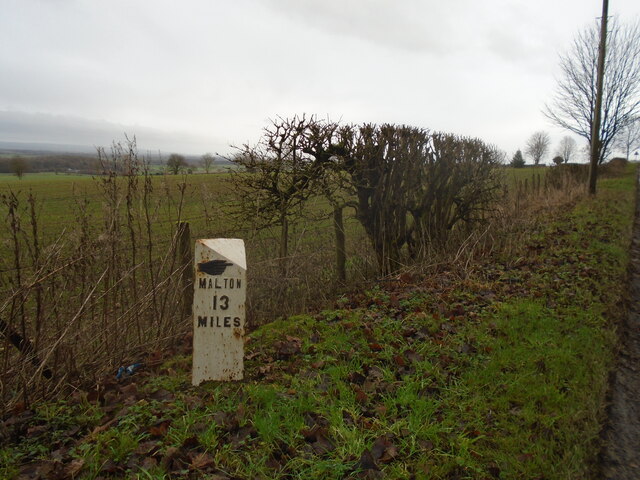
///equivocal.liked.skidding. Near Helmsley, North Yorkshire

Related Wikis

Sproxton, North Yorkshire

Sproxton is a village and civil parish in the Ryedale district of North Yorkshire, England. It is 1.2 miles (2 km) south of Helmsley and on the junction...

Helmsley Castle

Helmsley Castle (also known anciently as Hamlake) is a medieval castle situated in the market town of Helmsley, within the North York Moors National Park...

Oswaldkirk

Oswaldkirk is a small village and civil parish 4 miles (6.4 km) south of Helmsley and 20 miles (32 km) north of York in North Yorkshire, England. It is...

Helmsley railway station

Helmsley railway station served the market town of Helmsley in North Yorkshire from 1871 until 1964, although the regular passenger service (and the line...

The Star Inn

The Star Inn is a gastropub/restaurant located in the village of Harome near Helmsley in North Yorkshire, England. The pub has been in the village since...

St Saviour's Church, Harome

St Saviour's Church, Harome is a Grade II listed parish church in the Church of England: 181  in Harome, North Yorkshire. == History == Construction of...

Church of Saint Oswald, King and Martyr, Oswaldkirk

The Church of Saint Oswald, King and Martyr is an Anglican church serving the village and parish of Oswaldkirk, North Yorkshire, England. It is located...

Helmsley

Helmsley is a market town and civil parish in North Yorkshire, England. Historically part of the North Riding of Yorkshire, the town is located at the...

Nearby Amenities

Located within 500m of 54.224436,-1.0442681
Information: guidepost
Tourism: information
Lat/Long: 54.2245741/-1.0494606
Information: guidepost
Tourism: information
Lat/Long: 54.2224114/-1.044896
Low Parks Farm
Place: farm
Lat/Long: 54.2281603/-1.0408638
Information: route_marker
Tourism: information
Lat/Long: 54.2274203/-1.0403123
The data included in this document is from www.openstreetmap.org. The data is made available under ODbL.

Have you been to Robson's Spring?

Leave your review of Robson's Spring below (or comments, questions and feedback).