Blooms Gorse
Wood, Forest in Nottinghamshire Newark and Sherwood
England
Blooms Gorse
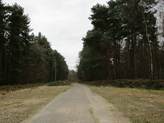
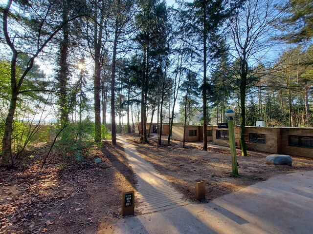
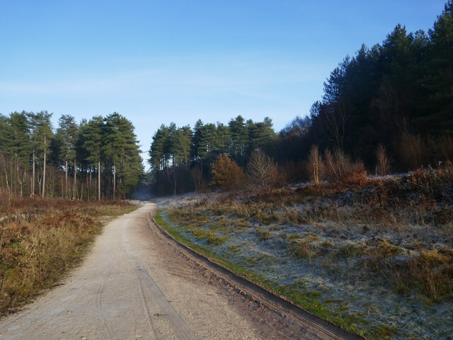
Blooms Gorse is a charming woodland area located in Nottinghamshire, England. Situated near the village of Wood, this forested haven offers a peaceful retreat for nature enthusiasts and outdoor adventurers alike.
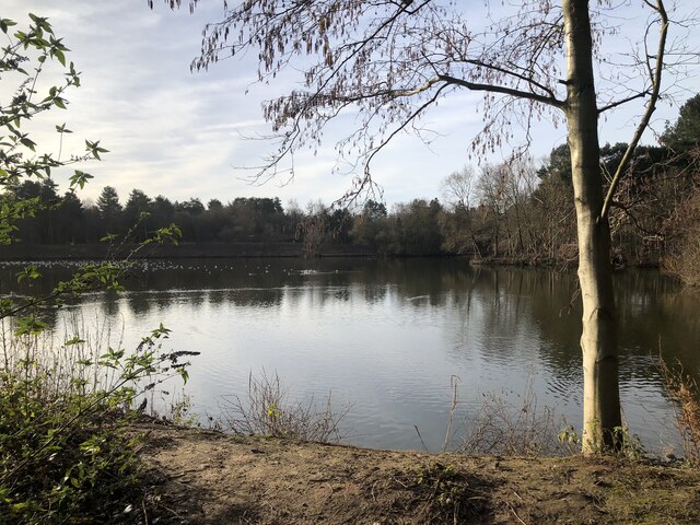
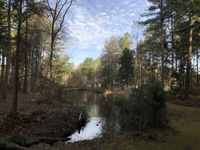
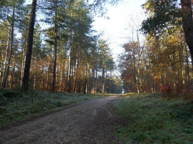
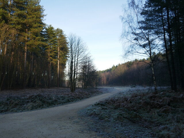
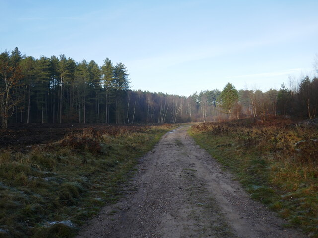
Covering an area of approximately 100 acres, Blooms Gorse boasts a diverse range of flora and fauna. The woodland is predominantly made up of native British trees such as oak, beech, and birch, which provide a rich habitat for a variety of wildlife species. Visitors may be lucky enough to spot deer, foxes, badgers, and a plethora of bird species including woodpeckers and owls.
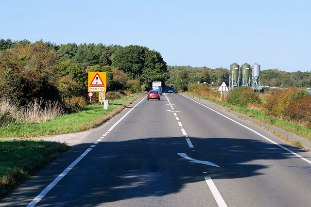
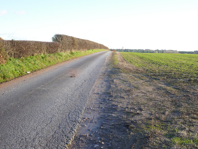
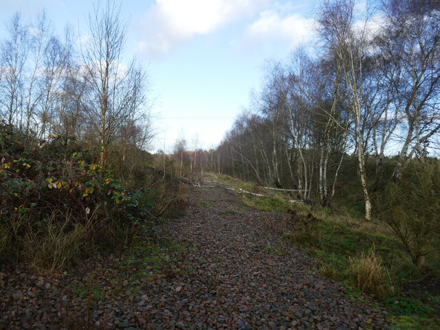
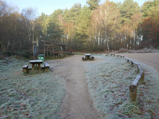
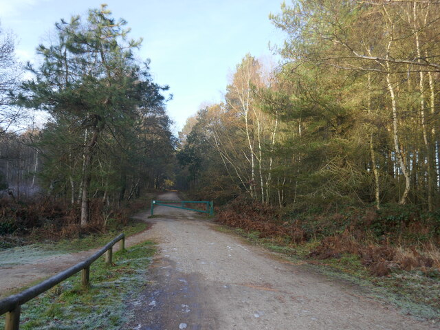
With its extensive network of footpaths and trails, Blooms Gorse is a popular destination for walkers, hikers, and cyclists. The well-maintained paths wind their way through the forest, offering breathtaking views and opportunities to connect with nature. The forest also features a picnic area, making it an ideal spot for a family day out or a leisurely lunch surrounded by the peaceful sounds of nature.
Blooms Gorse is not only a haven for wildlife and outdoor enthusiasts, but it also plays an important role in local conservation efforts. The forest is managed by the Nottinghamshire Wildlife Trust, who strive to protect and enhance the natural environment, ensuring the longevity of this beautiful woodland for generations to come.
Overall, Blooms Gorse in Nottinghamshire is a picturesque and ecologically significant woodland area, providing a tranquil escape from the hustle and bustle of everyday life.
If you have any feedback on the listing, please let us know in the comments section below.
Blooms Gorse Images
Images are sourced within 2km of 53.161214/-1.0703036 or Grid Reference SK6263. Thanks to Geograph Open Source API. All images are credited.

Blooms Gorse is located at Grid Ref: SK6263 (Lat: 53.161214, Lng: -1.0703036)
Administrative County: Nottinghamshire
District: Newark and Sherwood
Police Authority: Nottinghamshire
What 3 Words
///menu.urgent.punters. Near King's Clipstone, Nottinghamshire
Nearby Locations
Related Wikis

Edwinstowe
Edwinstowe is a village and civil parish in the Newark and Sherwood district of Nottinghamshire, England, on the edge of Sherwood Forest and the Dukeries...

King John's Palace
King John's Palace is the remains of a former medieval royal residence in Clipstone, north-west Nottinghamshire. The name "King John's Palace" has been...

Clipstone
Clipstone in north Nottinghamshire is a small ex-coal mining village built on the site of an old army base and close to the site of a medieval royal palace...
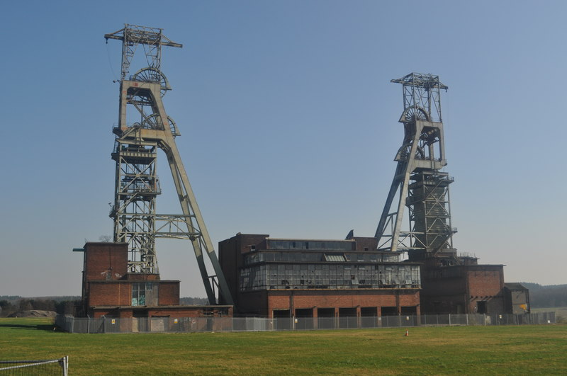
Clipstone Colliery
Clipstone Colliery was a coal mine in the village of Clipstone, Nottinghamshire, part of the area known as The Dukeries. The colliery opened in 1922 and...

Rufford, Nottinghamshire
Rufford, in Nottinghamshire, is the site of two villages whose inhabitants were evicted in the 12th century. Cistercian monasteries were established and...

Kings Clipstone
Kings Clipstone is a settlement and civil parish, in the Newark and Sherwood district, in the county of Nottinghamshire, England. The parish lies in the...
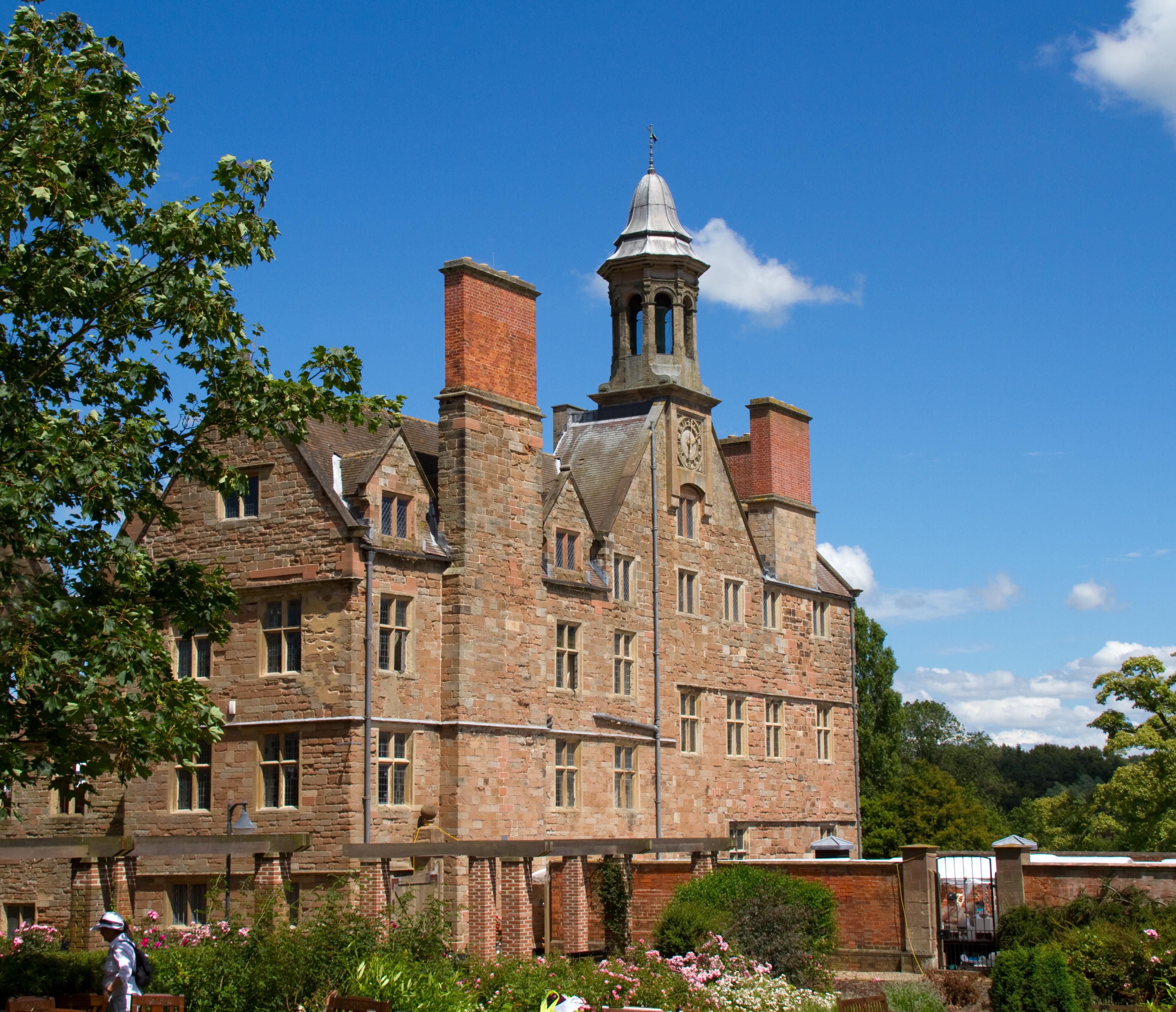
Rufford Abbey
Rufford Abbey is a country estate in Rufford, Nottinghamshire, England, two miles (4 km) south of Ollerton. Originally a Cistercian abbey, it was converted...
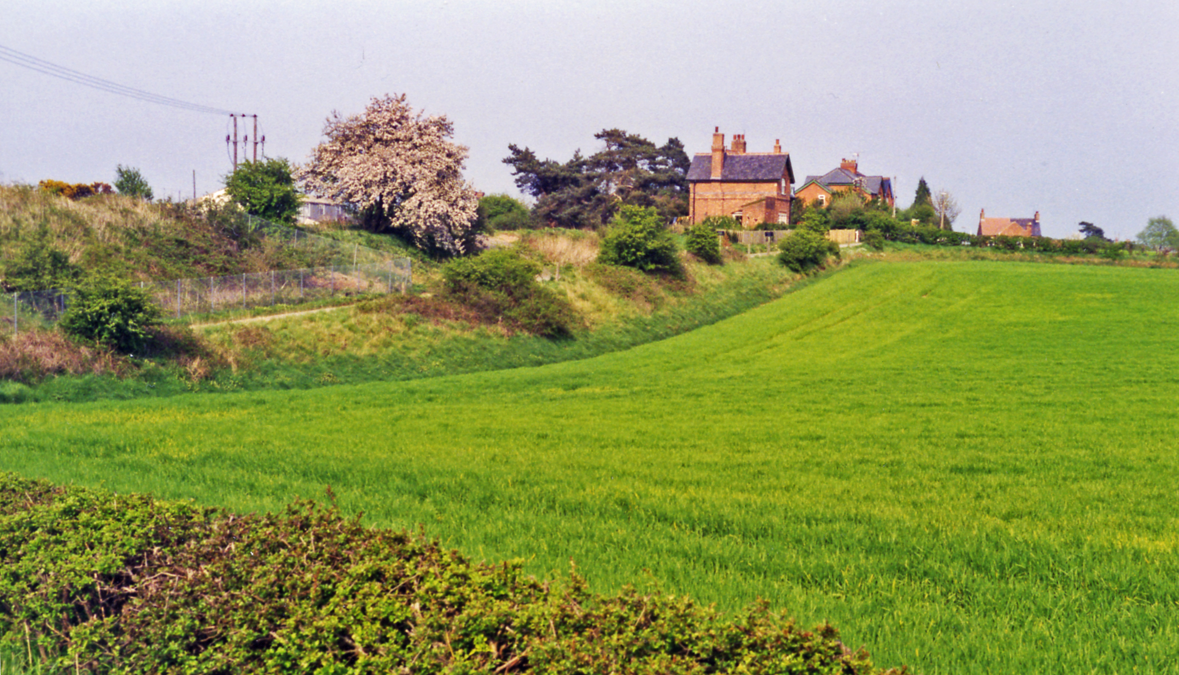
Edwinstowe railway station
Edwinstowe railway station is a former railway station in Edwinstowe, Nottinghamshire, England. == History == The station was opened by the Lancashire...
Nearby Amenities
Located within 500m of 53.161214,-1.0703036Have you been to Blooms Gorse?
Leave your review of Blooms Gorse below (or comments, questions and feedback).