Centurion's Copse
Wood, Forest in Hampshire
England
Centurion's Copse

Centurion's Copse is a picturesque woodland located in Hampshire, England. Situated on the outskirts of the village of Centurion's Green, the copse covers an area of approximately 50 acres. It is known for its dense, ancient woodland, consisting predominantly of oak, beech, and ash trees.
The copse is a haven for wildlife, providing a diverse habitat for a variety of species. Visitors to Centurion's Copse can expect to encounter a wide range of fauna, including deer, foxes, badgers, and numerous bird species. The woodland is particularly popular among birdwatchers, who come to observe the likes of woodpeckers, owls, and warblers.
Tranquility is one of the defining characteristics of Centurion's Copse. Its secluded location, away from major roads, ensures a peaceful and serene atmosphere, making it an ideal destination for those seeking solace in nature. The copse is crisscrossed with footpaths, enabling visitors to explore the woodland at their leisure. These trails lead to hidden clearings, babbling brooks, and small ponds, enhancing the sense of adventure and discovery.
Centurion's Copse holds significant historical importance as well. The name itself is derived from the Roman occupation of Britain, with Centurion's Green being named after a Roman centurion who supposedly camped in the area. The copse is believed to have existed since medieval times, and remnants of old stone walls and earthworks can still be found within its confines.
Overall, Centurion's Copse is a captivating woodland offering an array of natural beauty, wildlife, and historical intrigue. It provides a welcome retreat for locals and visitors alike, allowing them to immerse themselves in the enchanting surroundings of Hampshire's countryside.
If you have any feedback on the listing, please let us know in the comments section below.
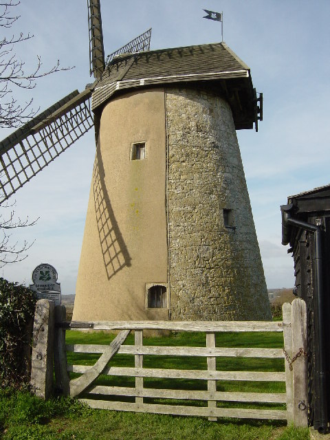
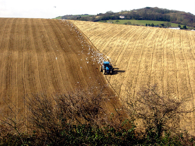
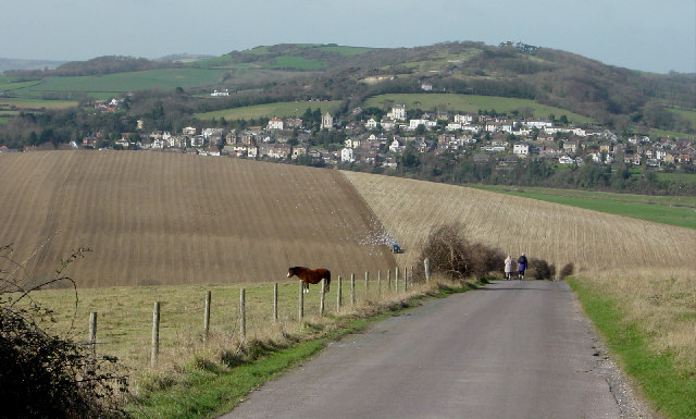
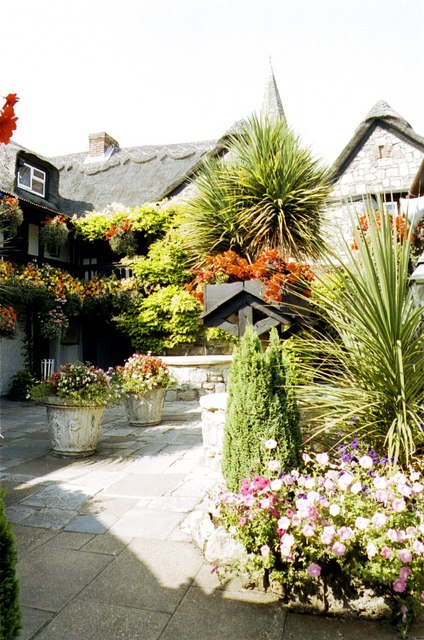
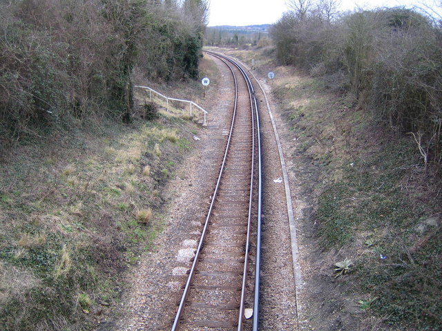
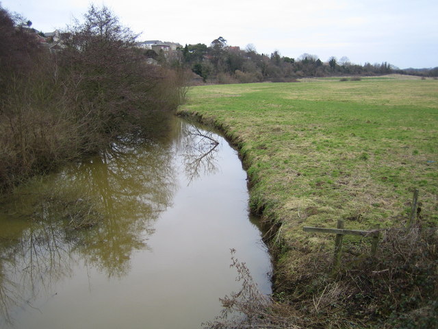
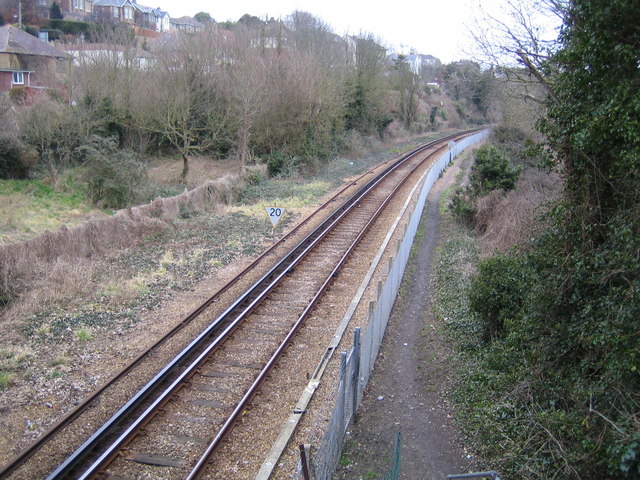
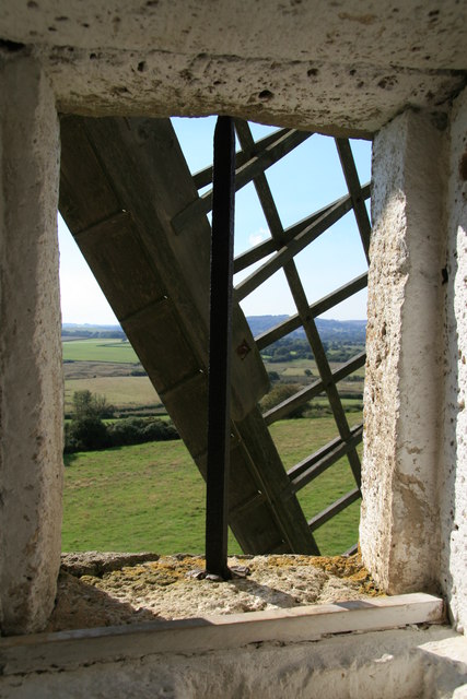
Centurion's Copse Images
Images are sourced within 2km of 50.678405/-1.1217517 or Grid Reference SZ6286. Thanks to Geograph Open Source API. All images are credited.


Centurion's Copse is located at Grid Ref: SZ6286 (Lat: 50.678405, Lng: -1.1217517)
Unitary Authority: Isle of Wight
Police Authority: Hampshire
What 3 Words
///strapped.purified.hoops. Near Brading, Isle of Wight
Nearby Locations
Related Wikis
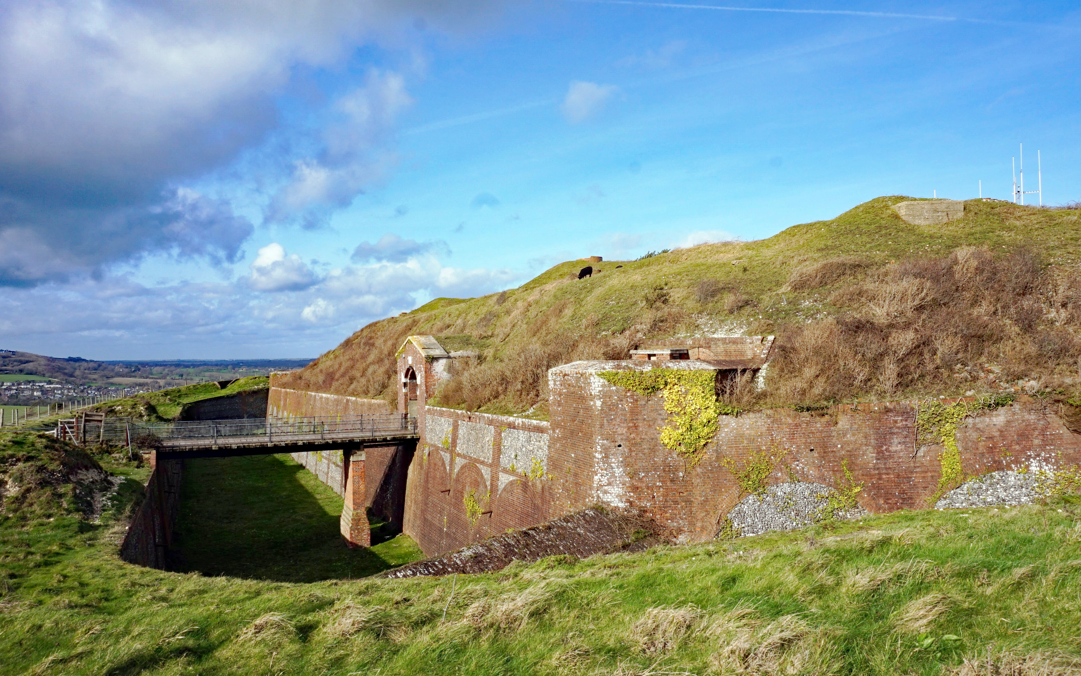
Bembridge Fort
Bembridge Fort (map reference SZ624861) is a fort built on the highest point of Bembridge Down close to the village of Bembridge on the Isle of Wight,...
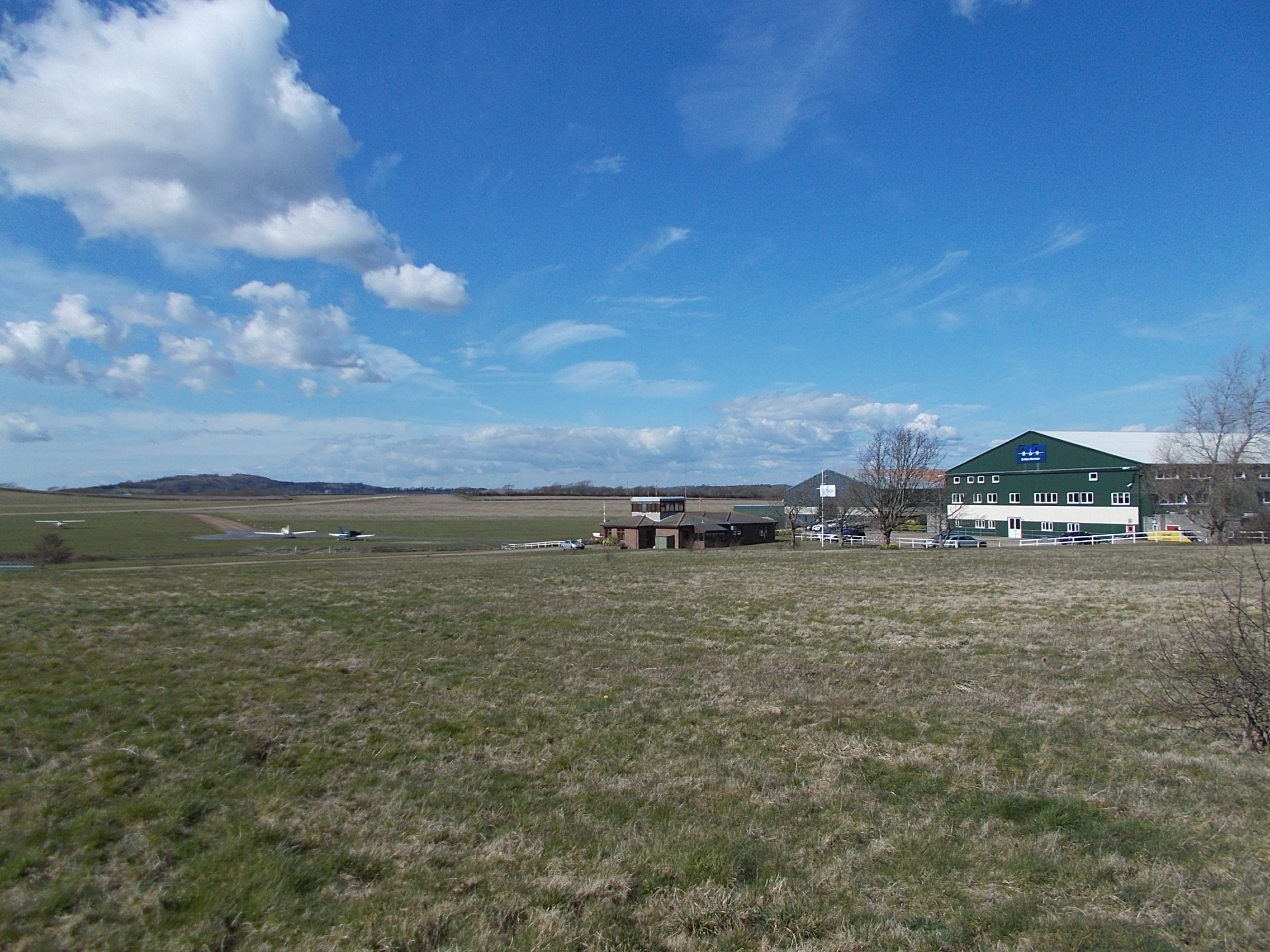
Bembridge Airport
Bembridge Airport (IATA: BBP, ICAO: EGHJ) is an unlicensed aerodrome located about a mile south-west of the village of Bembridge, Isle of Wight, England...

Hillway
Hillway is a settlement on the Isle of Wight, off the south coast of England. The hamlet lies near to the south-east coast of the island, and is located...
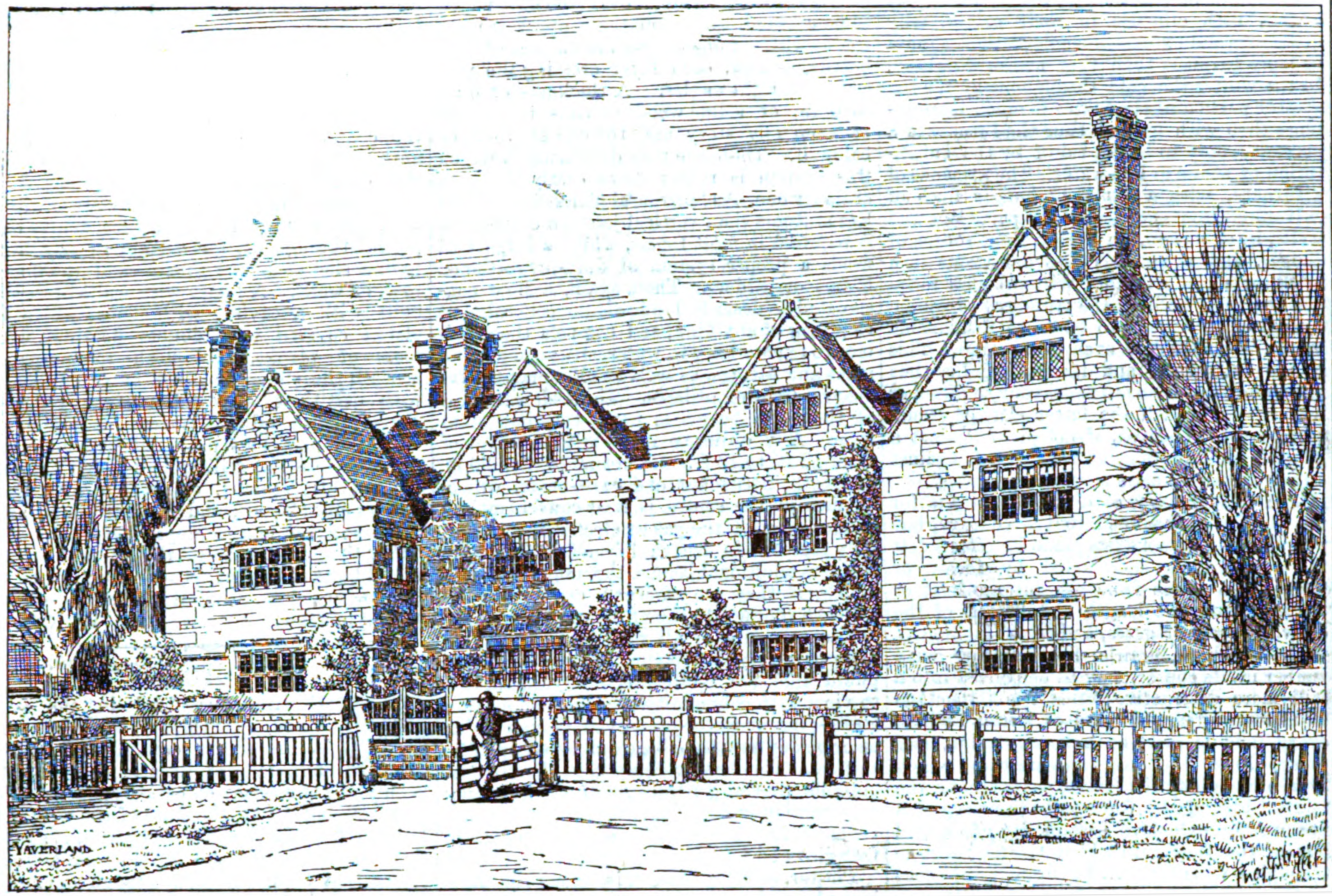
Yaverland Manor
Yaverland Manor is a medieval manor house in Yaverland, near Sandown, on the Isle of Wight. It was reconstructed in c. 1620 with alterations c. 1709. It...
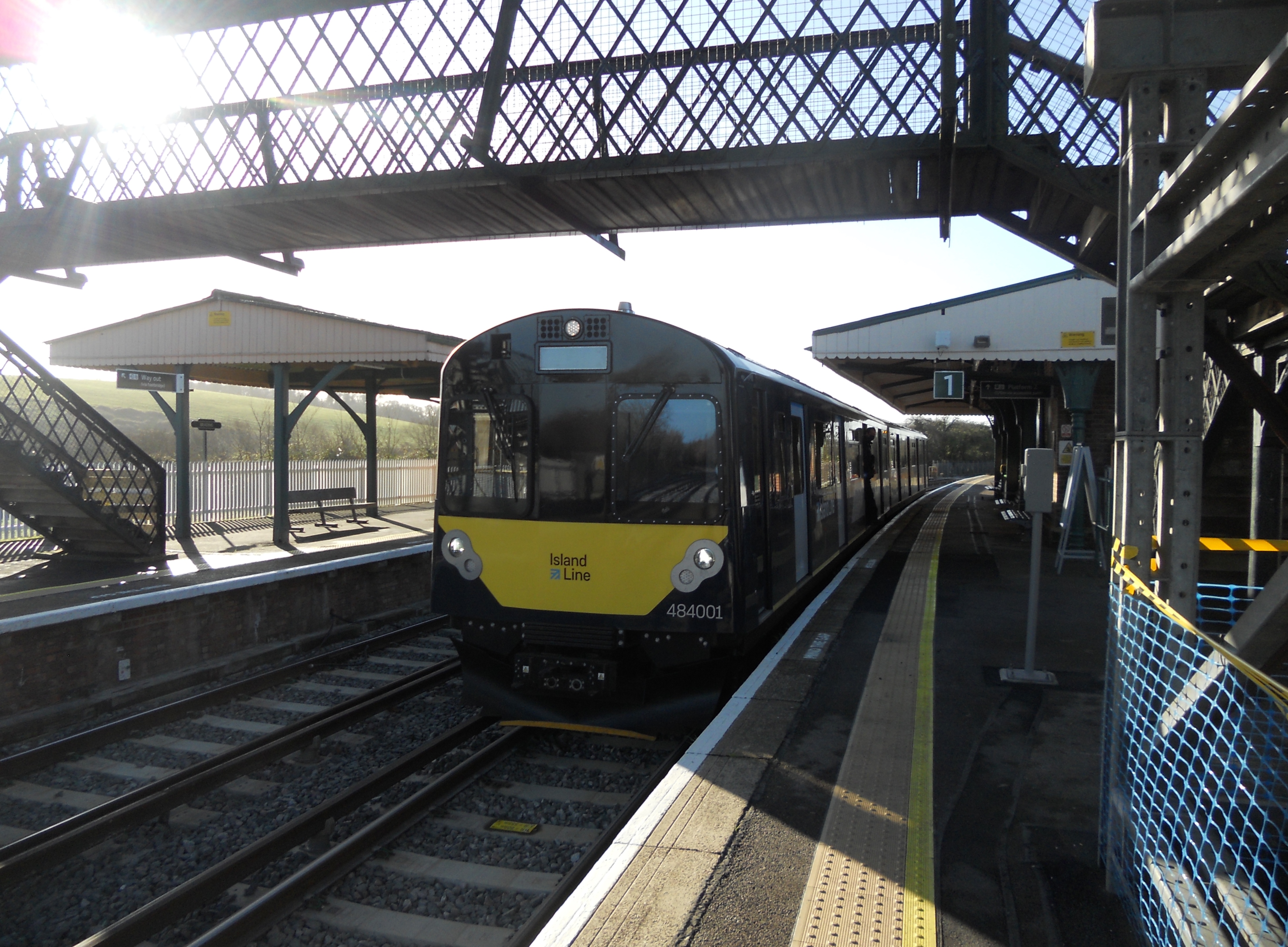
Brading railway station
Brading railway station is a Grade II listed railway station serving Brading on the Isle of Wight, England. It is located on the Island Line from Ryde...
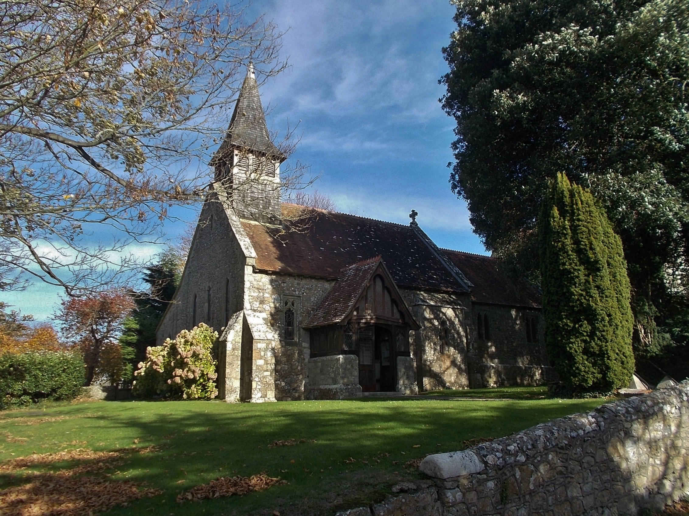
St John the Baptist Church, Yaverland
St John the Baptist Church, Yaverland is a parish church in the Church of England located in Yaverland, Isle of Wight. == History == The church is medieval...
Whitecliff Bay and Bembridge Ledges
Whitecliff Bay and Bembridge Ledges is a 131.6-hectare (325-acre) Site of Special Scientific Interest that lies around the coastline of the easternmost...
Brading
The ancient 'Kynges Towne' of Brading is the main town of the civil parish of the same name. The ecclesiastical parish of Brading used to cover about a...
Nearby Amenities
Located within 500m of 50.678405,-1.1217517Have you been to Centurion's Copse?
Leave your review of Centurion's Copse below (or comments, questions and feedback).