Ashlands Plantation
Wood, Forest in Hampshire Winchester
England
Ashlands Plantation
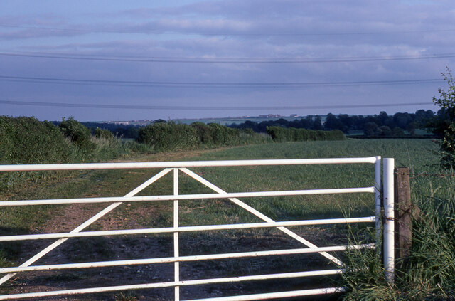
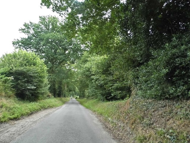
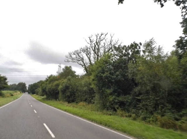
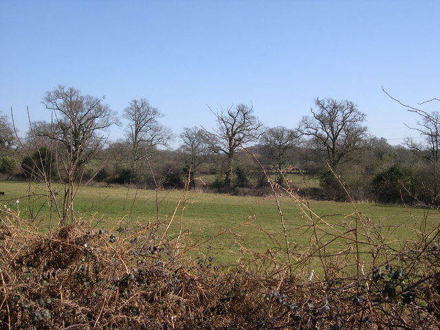
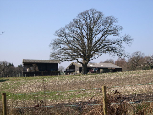
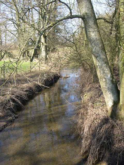
Ashlands Plantation is a picturesque woodland located in the county of Hampshire, England. Covering an area of approximately 200 acres, it is a popular destination for nature enthusiasts and outdoor enthusiasts alike. The plantation is situated near the village of Ashlands, hence its name, and is known for its diverse range of plant and animal species.
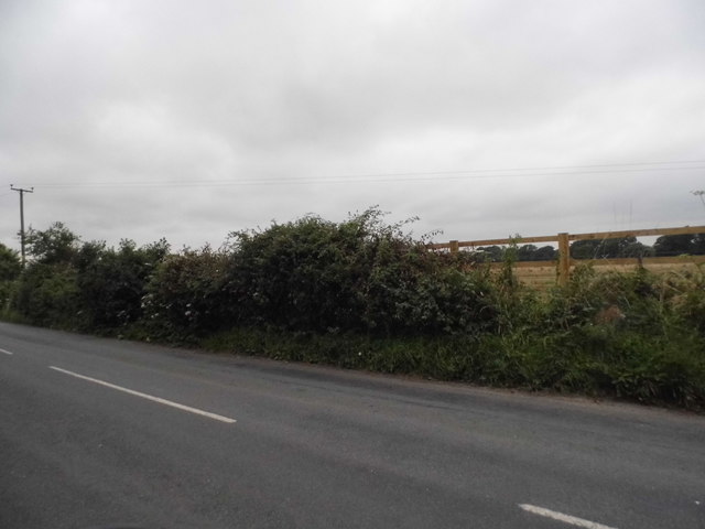
The woodland is characterized by its dense canopy of trees, including native species such as oak, beech, and birch. These trees provide a habitat for a wide variety of wildlife, including deer, foxes, and various bird species. The plantation is also home to several rare and endangered species, making it an important conservation site.
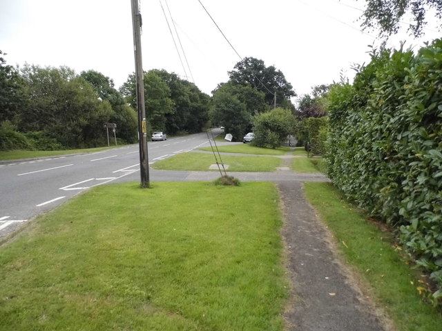
Visitors to Ashlands Plantation can enjoy a range of activities, including hiking, bird-watching, and photography. The woodland is crisscrossed with well-maintained trails, allowing visitors to explore its natural beauty at their own pace. There are also designated picnic areas where visitors can relax and enjoy the tranquil surroundings.
In addition to its natural beauty, Ashlands Plantation also has historical significance. It was once part of a larger estate and has remnants of old buildings scattered throughout the woodland. These remnants provide a glimpse into the area's past and add to its charm.
Overall, Ashlands Plantation is a captivating destination for those seeking a peaceful retreat in the heart of Hampshire. Its stunning natural landscapes, diverse wildlife, and historical significance make it a must-visit for nature lovers and history enthusiasts alike.
If you have any feedback on the listing, please let us know in the comments section below.
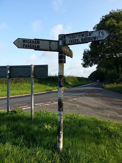
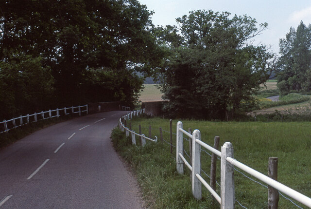
Ashlands Plantation Images
Images are sourced within 2km of 50.885625/-1.1204071 or Grid Reference SU6109. Thanks to Geograph Open Source API. All images are credited.


Ashlands Plantation is located at Grid Ref: SU6109 (Lat: 50.885625, Lng: -1.1204071)
Administrative County: Hampshire
District: Winchester
Police Authority: Hampshire
What 3 Words
///runways.gobbles.nearing. Near Denmead, Hampshire
Nearby Locations
Related Wikis

Southwick, Hampshire
Southwick is a village and former civil parish, now in the parish of Southwick and Widley, in the Winchester district, in Hampshire, England. 1 mile...
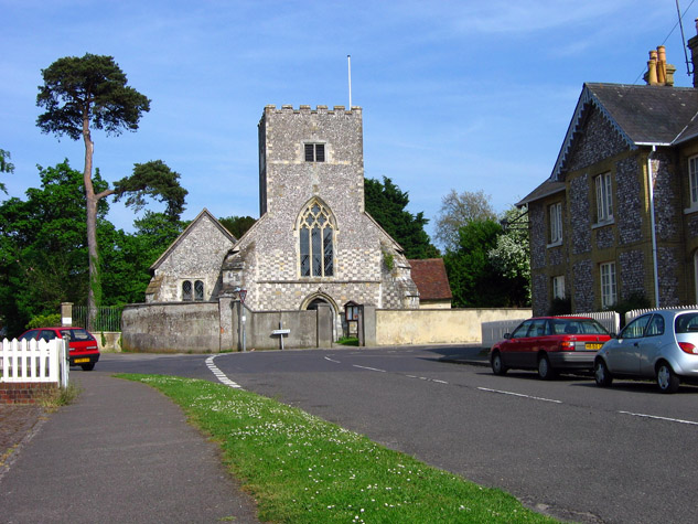
St James Church, Southwick
St James Church, Southwick is the Church of England parish church of Southwick, Hampshire, England. The parish is part of the Diocese of Portsmouth.The...

North Boarhunt
North Boarhunt is a village in the City of Winchester district of Hampshire, England. It is in the civil parish of Boarhunt. Its nearest town is Fareham...

Southwick House
Southwick House is a Grade II listed 19th-century manor house of the Southwick Estate in Hampshire, England, about 5 miles (8 km) north of Portsmouth....
HMS Dryad (shore establishment)
HMS Dryad is a former stone frigate (shore establishment). It was the home of the Royal Navy's Maritime Warfare School from the Second World War until...
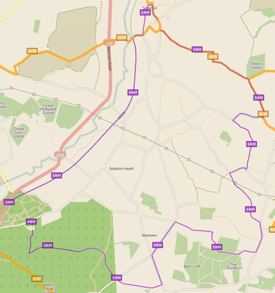
Soberton and Newtown Millennium Walk 2000
The Soberton and Newtown Millennium Walk 2000 is a 10-mile circular footpath through Hampshire, England around villages of Soberton and Newtown. Sections...
Boarhunt
Boarhunt () is a village and civil parish in the City of Winchester district of Hampshire, England, about 2 miles (3 kilometres) north-east of Fareham...
Worlds End, Hampshire
Worlds End is a small village in the civil parish of Denmead in the City of Winchester district of Hampshire, England. The village is about 7 miles (11...
Nearby Amenities
Located within 500m of 50.885625,-1.1204071Have you been to Ashlands Plantation?
Leave your review of Ashlands Plantation below (or comments, questions and feedback).