Staplecross Copse
Wood, Forest in Hampshire Winchester
England
Staplecross Copse

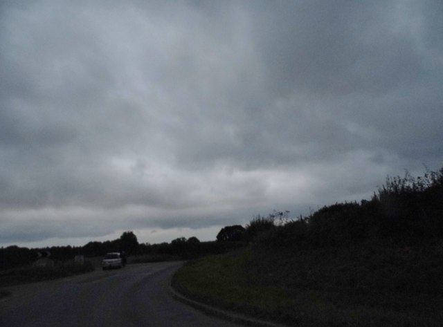
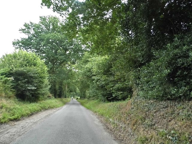
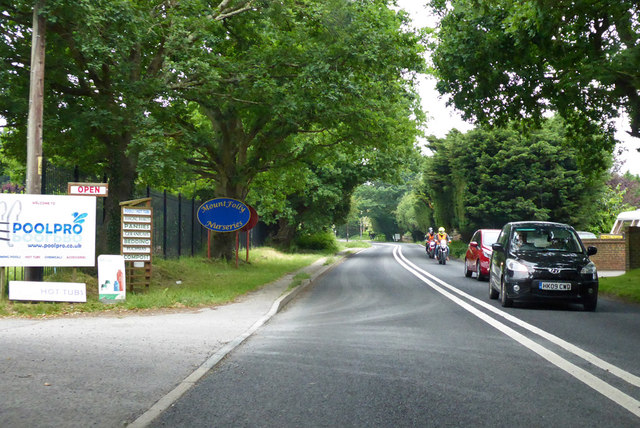
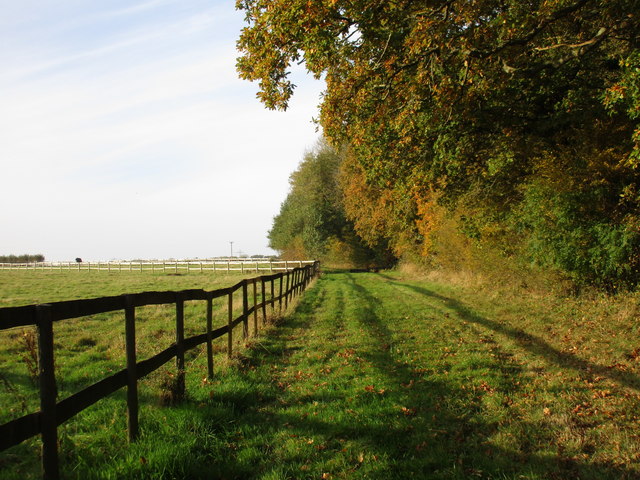
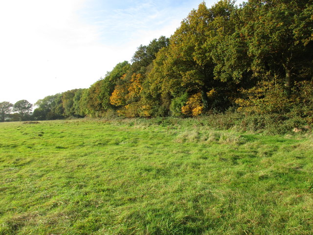
Staplecross Copse is a picturesque woodland located in Hampshire, England. Situated near the village of Staplecross, this ancient woodland covers an area of approximately 50 acres and is a popular destination for nature enthusiasts and hikers alike.
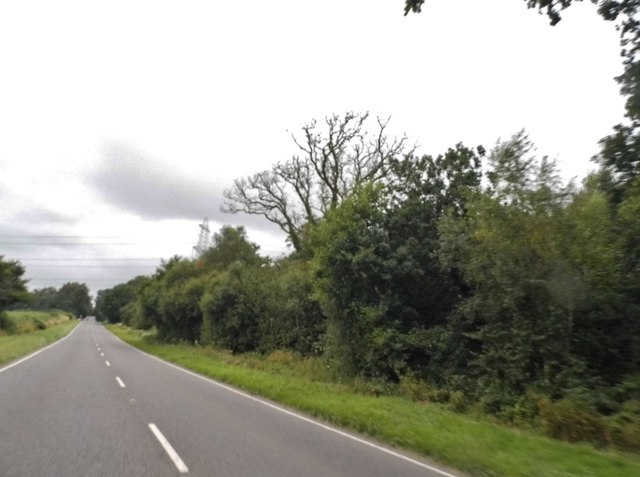
The copse is predominantly made up of broadleaved trees, with a rich variety of species including oak, ash, beech, and hazel. The dense canopy provides a habitat for a diverse range of wildlife, such as deer, foxes, badgers, and a multitude of bird species. Visitors may also spot small mammals, reptiles, and various insects while exploring the woodland.
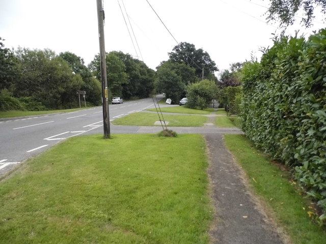
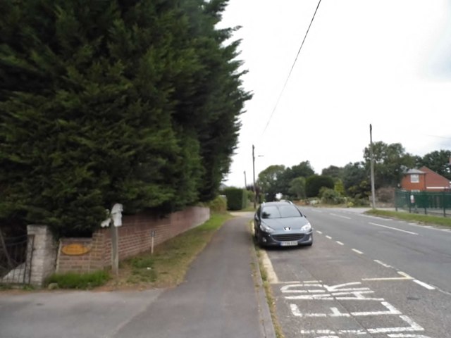
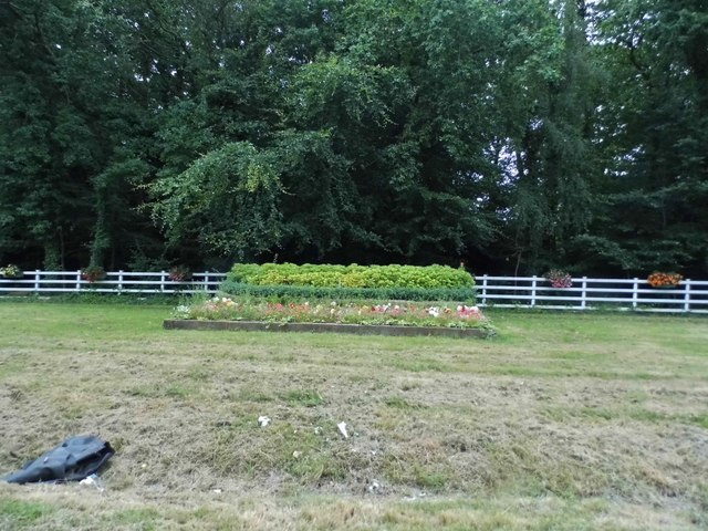
Tranquility and serenity define Staplecross Copse, as it is tucked away from major roads and urban areas. The peaceful ambiance makes it an ideal spot for those seeking solitude or a quiet escape from the hustle and bustle of everyday life. The copse offers numerous walking trails that wind through the trees, providing visitors with an opportunity to immerse themselves in the beauty of nature.
In springtime, the woodland floor becomes adorned with a vibrant carpet of bluebells, creating a breathtaking sight that attracts photographers and nature lovers alike. During autumn, the copse is transformed as the leaves of the deciduous trees turn various shades of red, yellow, and orange, creating a stunning display of colors.
Staplecross Copse is a cherished natural treasure in Hampshire, providing a haven for wildlife and a sanctuary for individuals seeking solace in nature's embrace. Whether it be a leisurely stroll, a picnic, or simply taking in the sights and sounds of the woodland, this picturesque copse offers an enchanting experience for all who visit.
If you have any feedback on the listing, please let us know in the comments section below.
Staplecross Copse Images
Images are sourced within 2km of 50.883639/-1.1326272 or Grid Reference SU6109. Thanks to Geograph Open Source API. All images are credited.


Staplecross Copse is located at Grid Ref: SU6109 (Lat: 50.883639, Lng: -1.1326272)
Administrative County: Hampshire
District: Winchester
Police Authority: Hampshire
What 3 Words
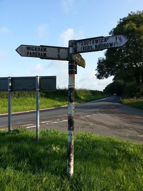
///spite.webcams.tips. Near Wickham, Hampshire
Nearby Locations
Related Wikis

North Boarhunt
North Boarhunt is a village in the City of Winchester district of Hampshire, England. It is in the civil parish of Boarhunt. Its nearest town is Fareham...
Boarhunt
Boarhunt () is a village and civil parish in the City of Winchester district of Hampshire, England, about 2 miles (3 kilometres) north-east of Fareham...
South Boarhunt
South Boarhunt is a small village in the civil parish of Boarhunt in the City of Winchester district of Hampshire, England. Its nearest town is Fareham...

Southwick, Hampshire
Southwick is a village and former civil parish, now in the parish of Southwick and Widley, in the Winchester district, in Hampshire, England. 1 mile...
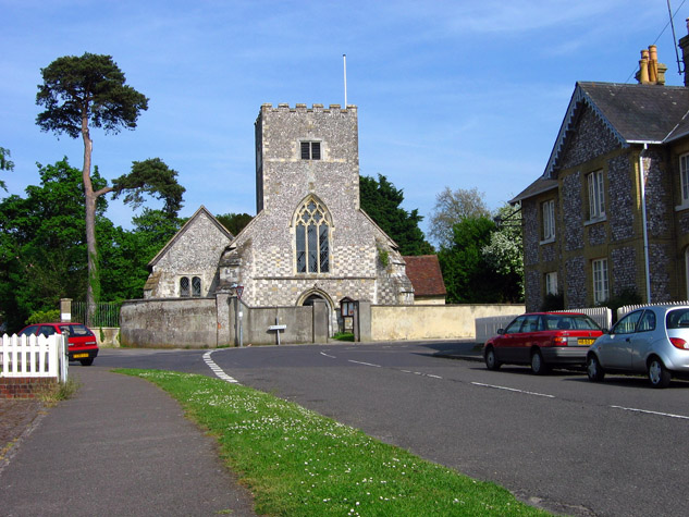
St James Church, Southwick
St James Church, Southwick is the Church of England parish church of Southwick, Hampshire, England. The parish is part of the Diocese of Portsmouth.The...
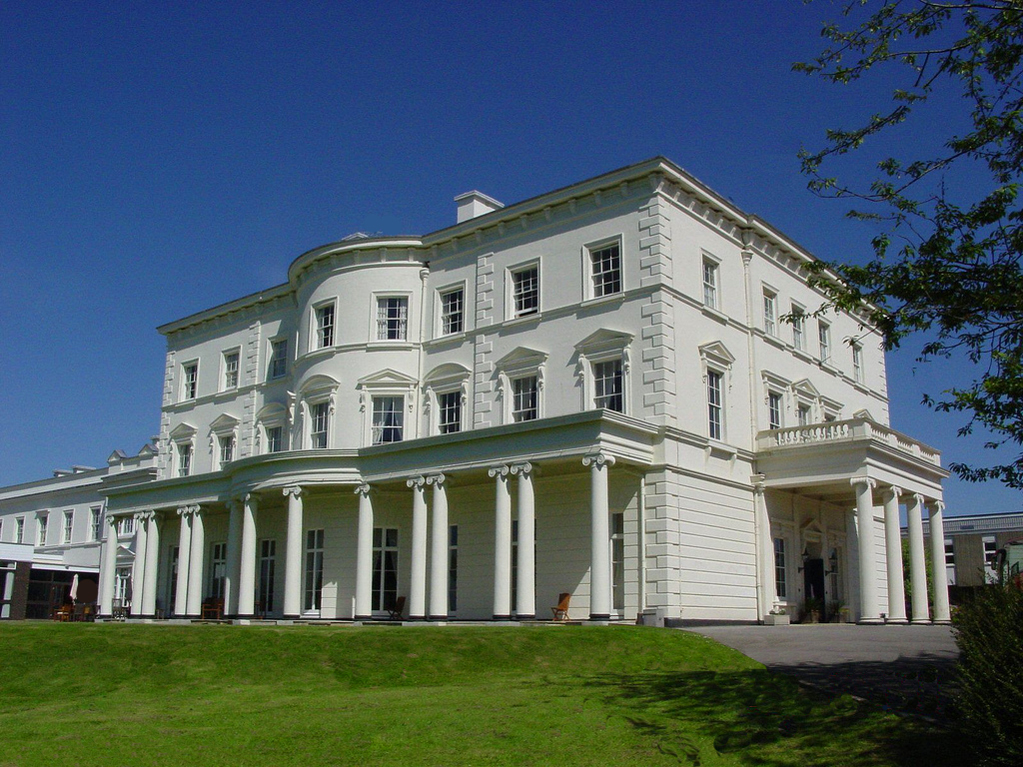
Southwick House
Southwick House is a Grade II listed 19th-century manor house of the Southwick Estate in Hampshire, England, about 5 miles (8 km) north of Portsmouth....
HMS Dryad (shore establishment)
HMS Dryad is a former stone frigate (shore establishment). It was the home of the Royal Navy's Maritime Warfare School from the Second World War until...
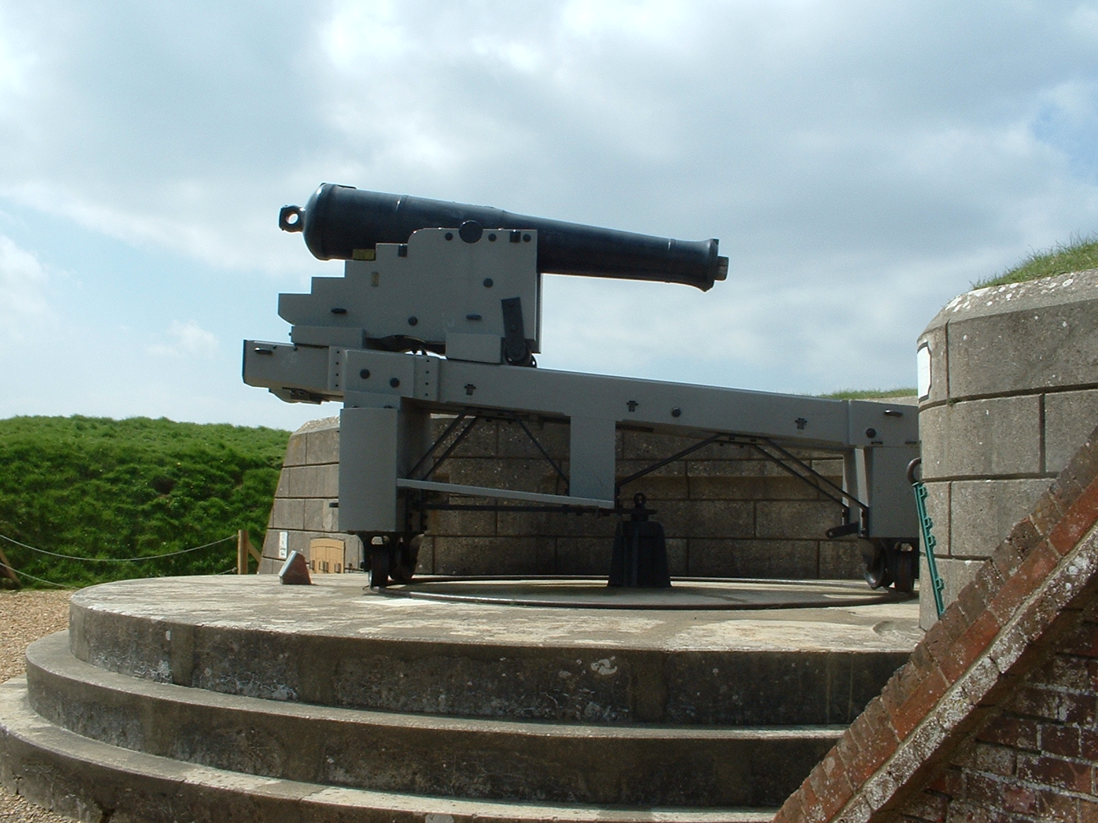
Fort Nelson, Hampshire
Fort Nelson, in the civil parish of Boarhunt in the English county of Hampshire, is one of five defensive forts built on the summit of Portsdown Hill in...
Nearby Amenities
Located within 500m of 50.883639,-1.1326272Have you been to Staplecross Copse?
Leave your review of Staplecross Copse below (or comments, questions and feedback).