Fir Copse
Wood, Forest in Berkshire
England
Fir Copse
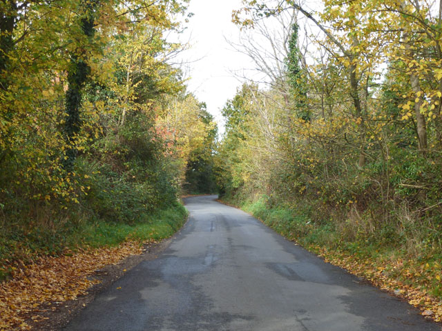
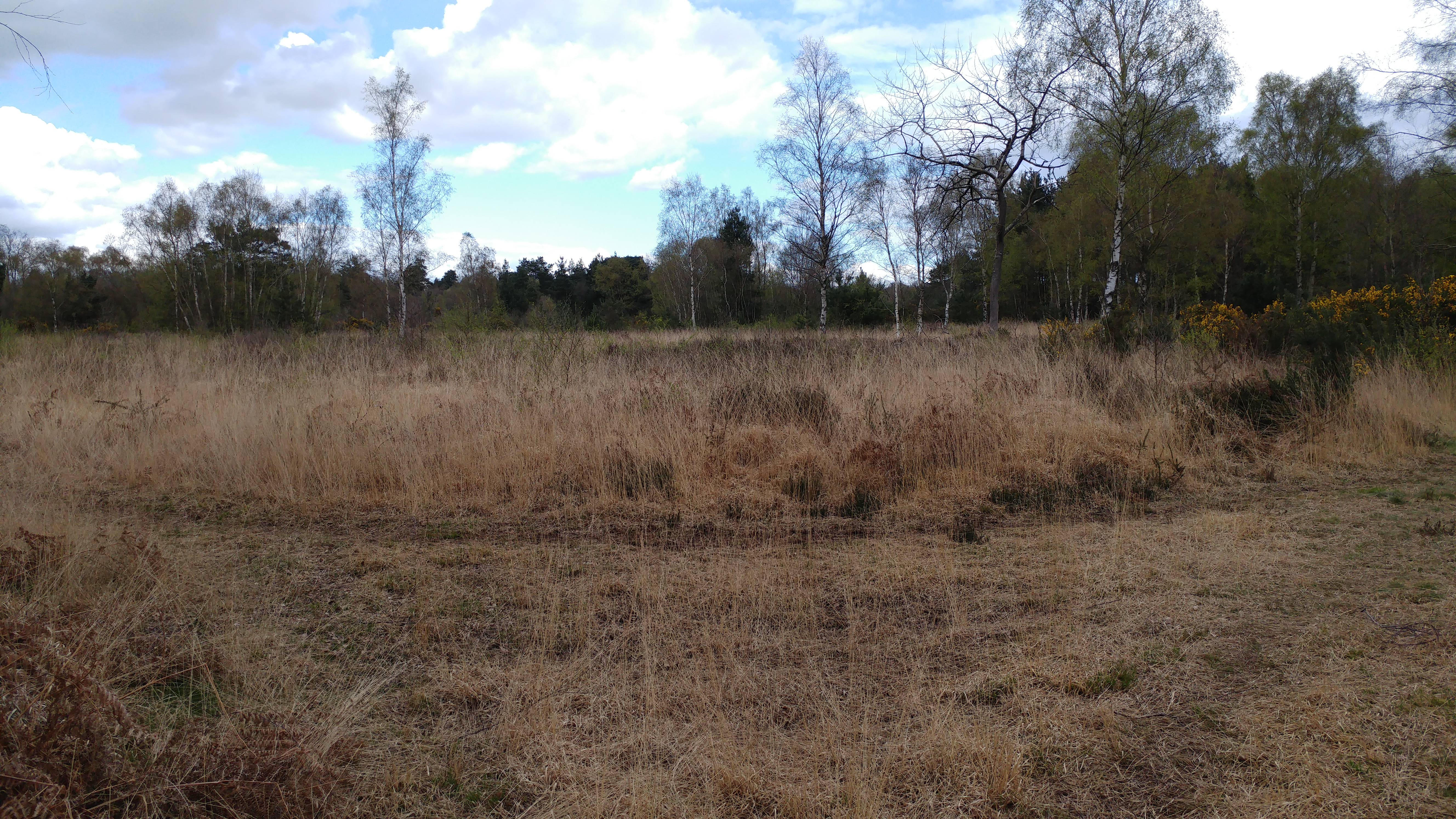
Fir Copse is a small woodland located in the county of Berkshire in southern England. Covering an area of approximately 20 acres, it is nestled within the picturesque countryside and surrounded by rolling hills. The copse is predominantly composed of fir trees, hence its name, creating a dense and evergreen forest.
The woodland is a haven for nature enthusiasts, providing a habitat for a diverse range of wildlife. Birdwatchers can spot various species such as woodpeckers, owls, and finches, while small mammals like squirrels and rabbits scurry amongst the undergrowth. In the spring, the forest floor comes alive with a vibrant display of bluebells, adding a splash of color to the verdant surroundings.
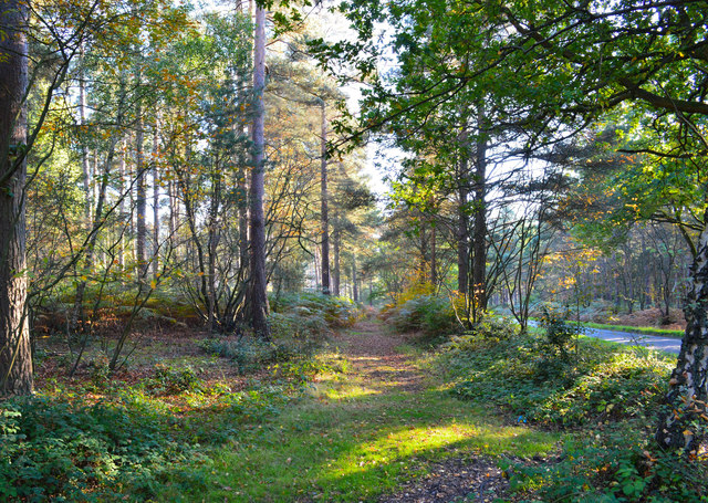
Fir Copse offers several walking trails that wind through the woodland, allowing visitors to explore its natural beauty at their own pace. These paths are well-maintained, making it accessible to both casual strollers and more adventurous hikers. Along the way, there are benches and picnic spots where visitors can take a break and enjoy the tranquil ambiance.
The copse also holds historical significance, as it was once part of an ancient royal hunting ground. Remnants of old boundary walls and ditches can still be seen, providing a glimpse into the area's past.
Overall, Fir Copse is a charming and peaceful woodland, offering a retreat from the hustle and bustle of everyday life. Whether for a leisurely stroll, birdwatching, or simply enjoying the beauty of nature, this forest provides a serene escape for all who visit.
If you have any feedback on the listing, please let us know in the comments section below.
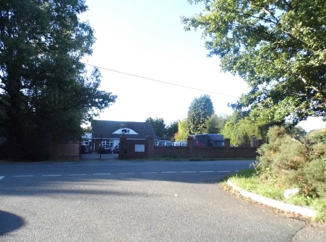
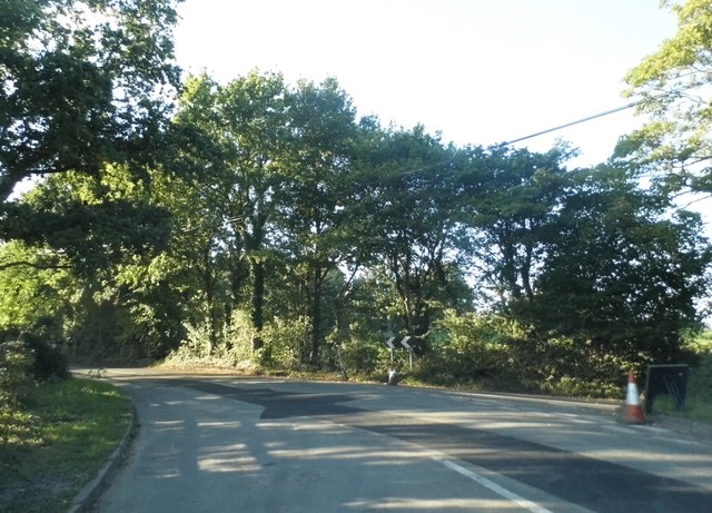
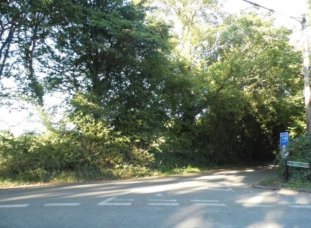
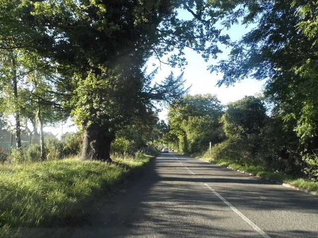
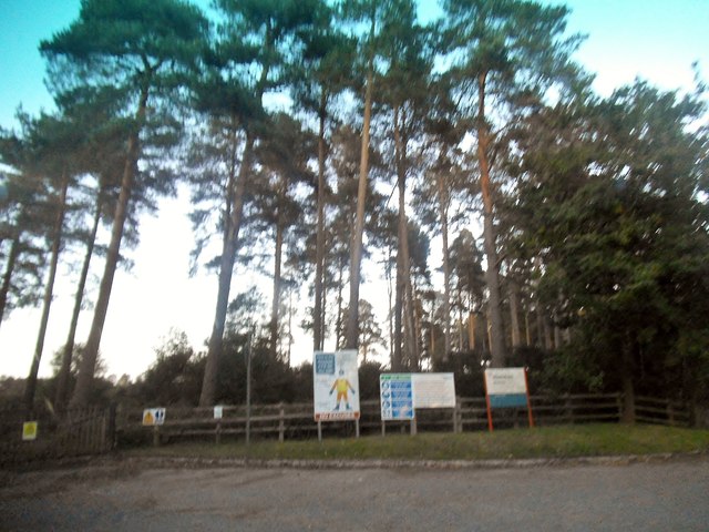
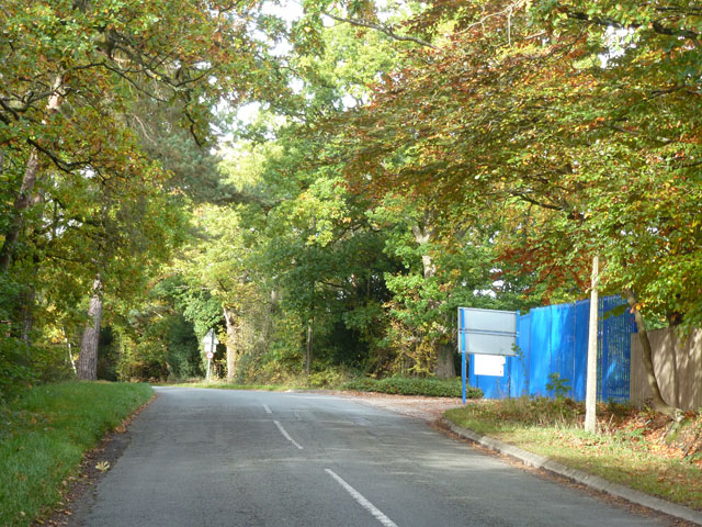
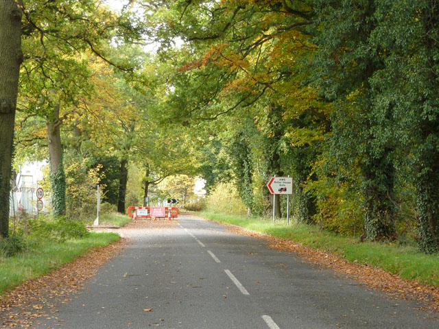
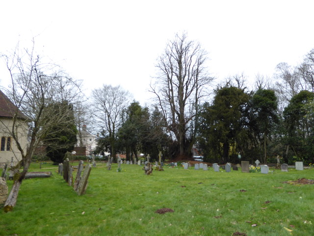
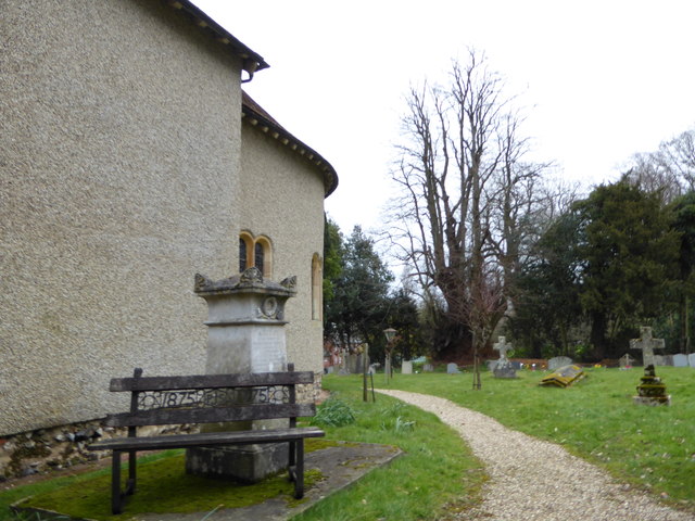
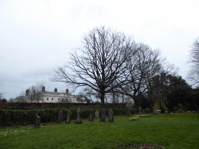
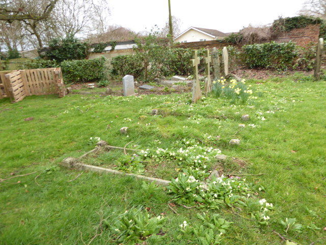
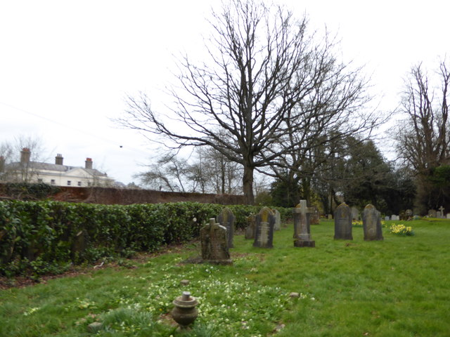
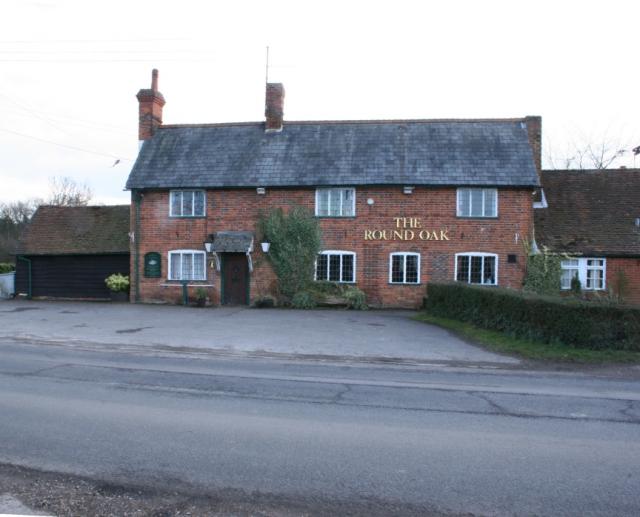
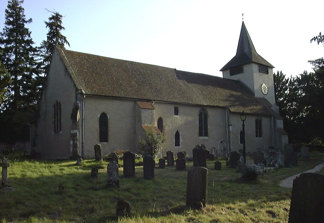
Fir Copse Images
Images are sourced within 2km of 51.382924/-1.118052 or Grid Reference SU6165. Thanks to Geograph Open Source API. All images are credited.

Fir Copse is located at Grid Ref: SU6165 (Lat: 51.382924, Lng: -1.118052)
Unitary Authority: West Berkshire
Police Authority: Thames Valley
What 3 Words
///shaver.royally.texts. Near Tadley, Hampshire
Nearby Locations
Related Wikis
Padworth Common
Padworth Common is a hamlet and common in the English county of Berkshire, within the civil parish of Padworth. It is bounded by Burghfield to the east...
Padworth Common Local Nature Reserve
Padworth Common Local Nature Reserve is a 28-hectare (69-acre) Local Nature Reserve on the edge of the hamlet of Padworth Common, between Reading and...
Padworth College
Padworth College is a co-educational private senior school in Padworth, Berkshire. == External links == Official website Berkshire History: Padworth House

Padworth
Padworth is a dispersed settlement and civil parish in the English county of Berkshire, with the nearest town being Tadley. Padworth is in the unitary...

Aldermaston Court
Aldermaston Court is a country house and private park built in the Victorian era for Daniel Higford Davall Burr with incorporations from a Stuart house...
Church of St Mary the Virgin, Aldermaston
The Church of St Mary the Virgin, Aldermaston, is the Church of England parish church of Aldermaston in Berkshire. The church, which is dedicated to St...

MERLIN reactor
MERLIN reactor was a 10MWt pool-type research reactor at Aldermaston Court, Aldermaston, Berkshire, England which operated from 6 November 1959 until 1962...

Decoy Pit, Pools and Woods
Decoy Pit, Pools and Woods is a 17.7-hectare (44-acre) biological Site of Special Scientific Interest south of Aldermaston in Berkshire. An area of 8 hectares...
Nearby Amenities
Located within 500m of 51.382924,-1.118052Have you been to Fir Copse?
Leave your review of Fir Copse below (or comments, questions and feedback).