Arncott Wood
Wood, Forest in Oxfordshire Cherwell
England
Arncott Wood
Arncott Wood is a picturesque woodland located in Oxfordshire, England. Covering an area of approximately 100 hectares, it is a popular destination for nature lovers and outdoor enthusiasts. The wood is part of the wider Arncott and Ambrosden Woods complex and is managed by the Forestry Commission.
The woodland is predominantly made up of broadleaf trees, including oak, ash, and beech, which create a lush and vibrant canopy during the summer months. The forest floor is covered with a diverse range of flora, including bluebells, wild garlic, and wood anemones, providing a colorful and fragrant atmosphere.
Arncott Wood offers a variety of trails and paths, making it an ideal location for walking, hiking, and cycling. Visitors can explore the wood's hidden treasures, from enchanting glades to peaceful ponds, while enjoying the tranquility and serenity of the natural surroundings.
The woodland is also home to a rich array of wildlife. Deer, badgers, and foxes can often be spotted roaming through the trees, while birdwatchers can catch a glimpse of woodpeckers, nuthatches, and various species of owls.
Arncott Wood is easily accessible, with ample parking available for visitors. The wood is open to the public throughout the year, free of charge, and provides a wonderful opportunity to escape the hustle and bustle of everyday life and immerse oneself in the beauty of nature.
If you have any feedback on the listing, please let us know in the comments section below.
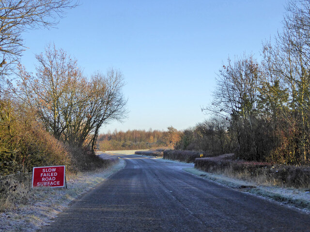
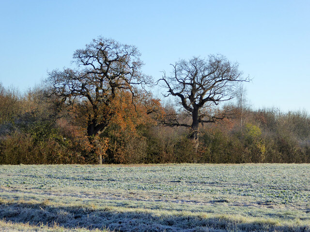
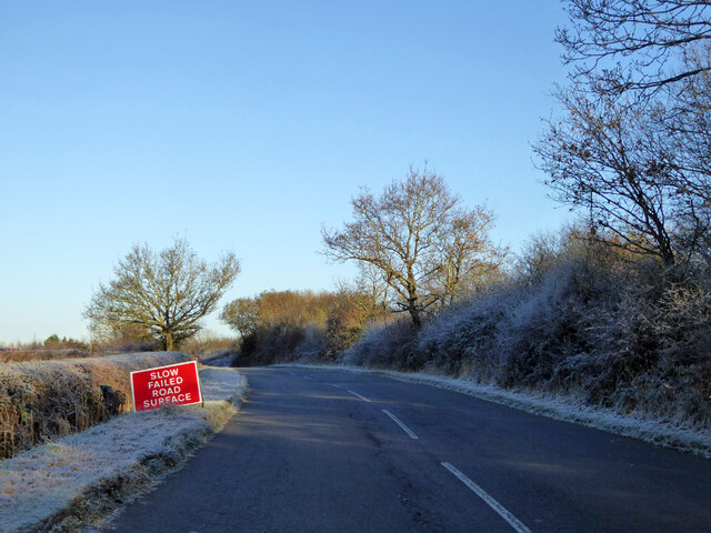
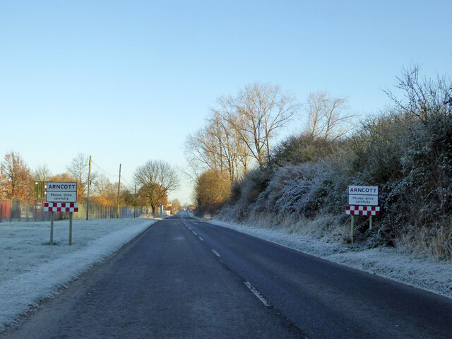
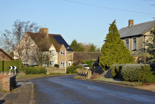
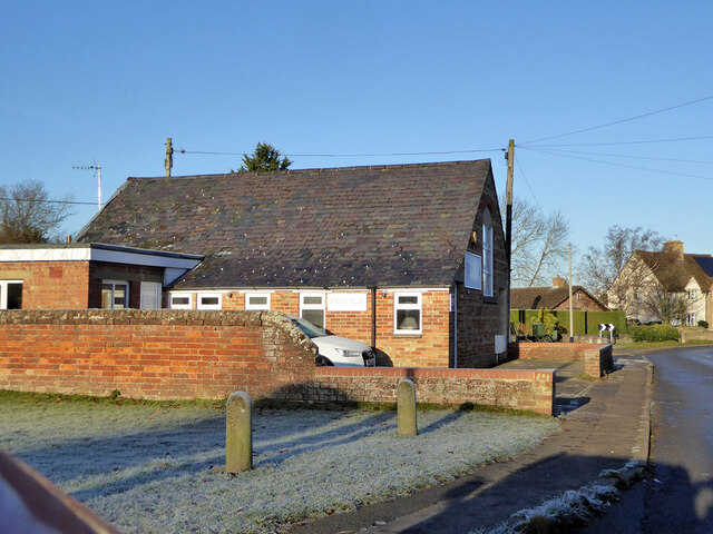
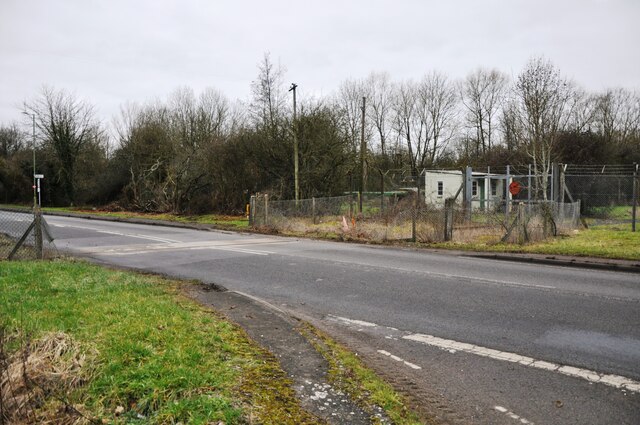
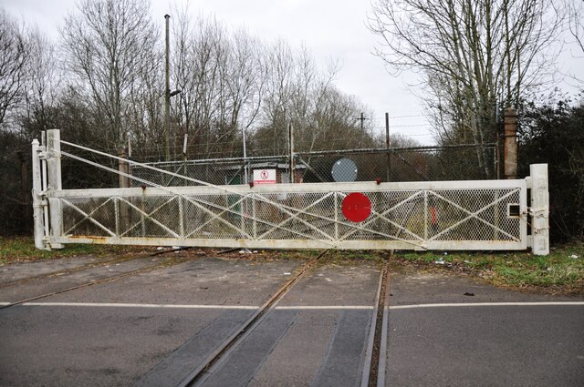
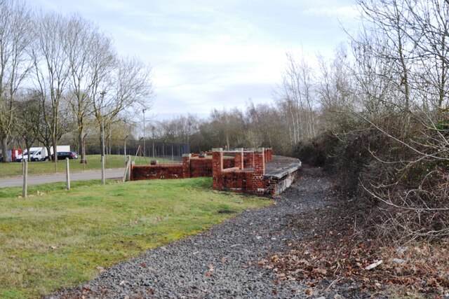
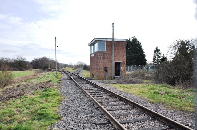
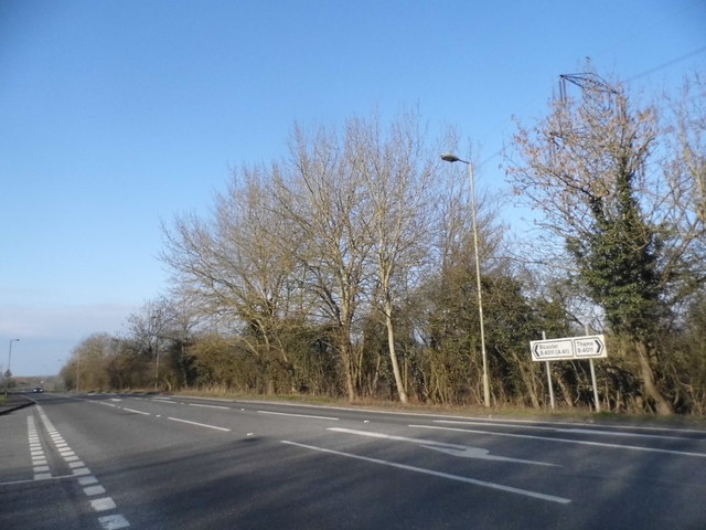
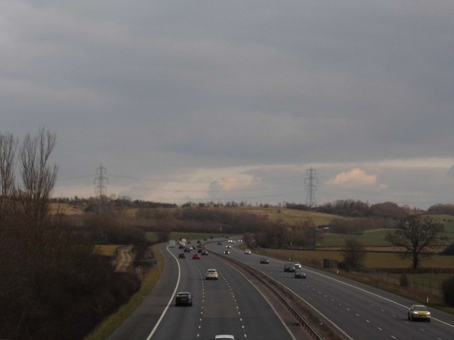
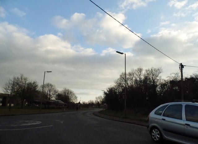
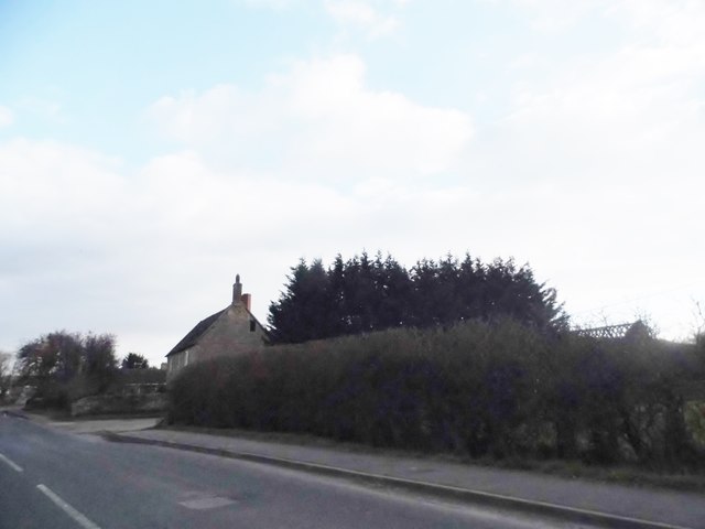
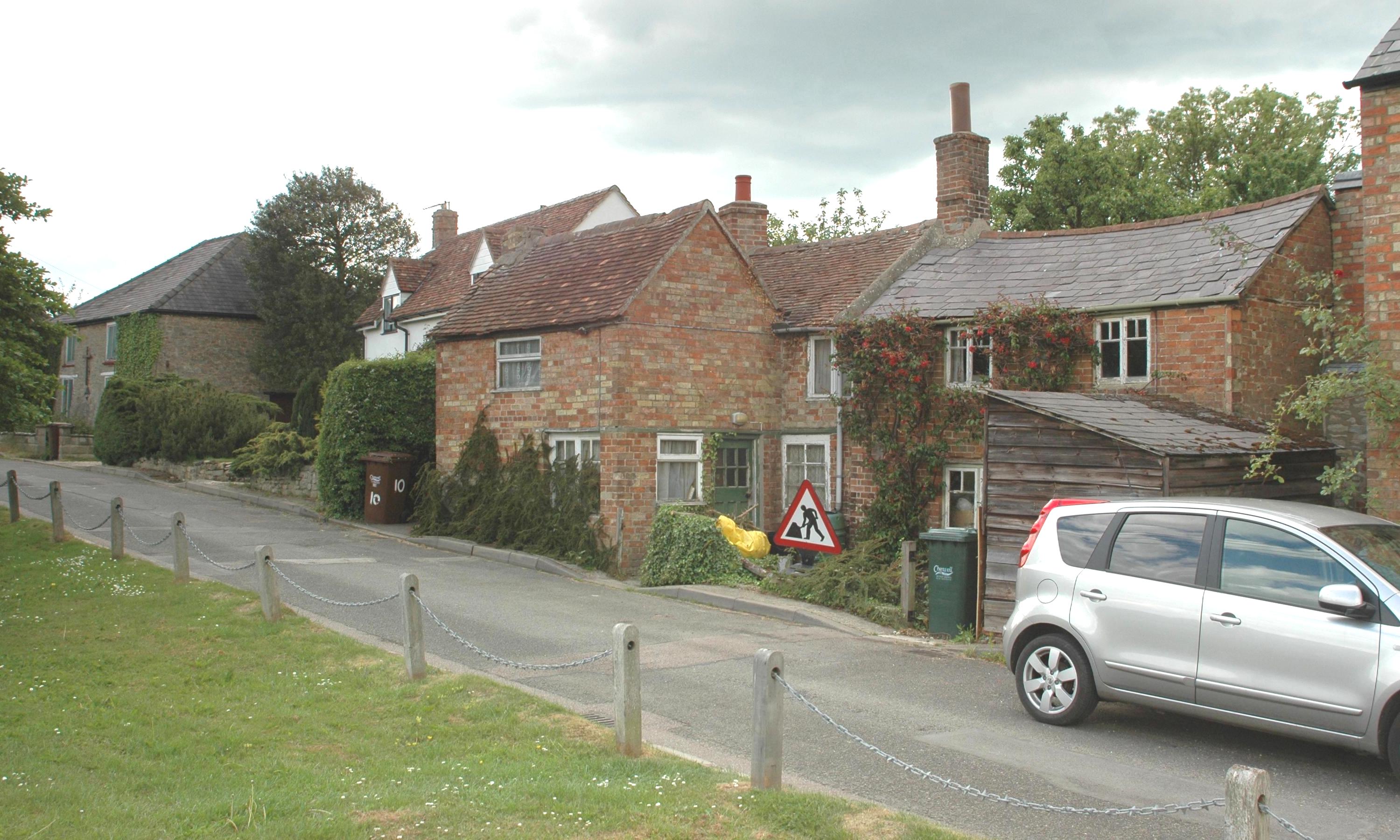
Arncott Wood Images
Images are sourced within 2km of 51.847062/-1.1090269 or Grid Reference SP6116. Thanks to Geograph Open Source API. All images are credited.


Arncott Wood is located at Grid Ref: SP6116 (Lat: 51.847062, Lng: -1.1090269)
Administrative County: Oxfordshire
District: Cherwell
Police Authority: Thames Valley
What 3 Words
///runways.mainland.crumple. Near Ambrosden, Oxfordshire
Nearby Locations
Related Wikis
Arncott
Arncott or Arncot is a village and civil parish about 3+1⁄2 miles (5.6 km) southeast of Bicester in Oxfordshire. The 2011 Census recorded the parish's...
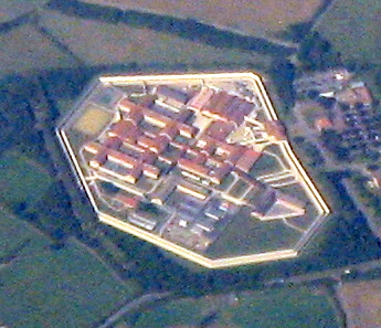
HM Prison Bullingdon
HM Prison and Young Offenders Institute Bullingdon is a prison in Oxfordshire, England. It is a public sector prison operated by HM Prison and Probation...
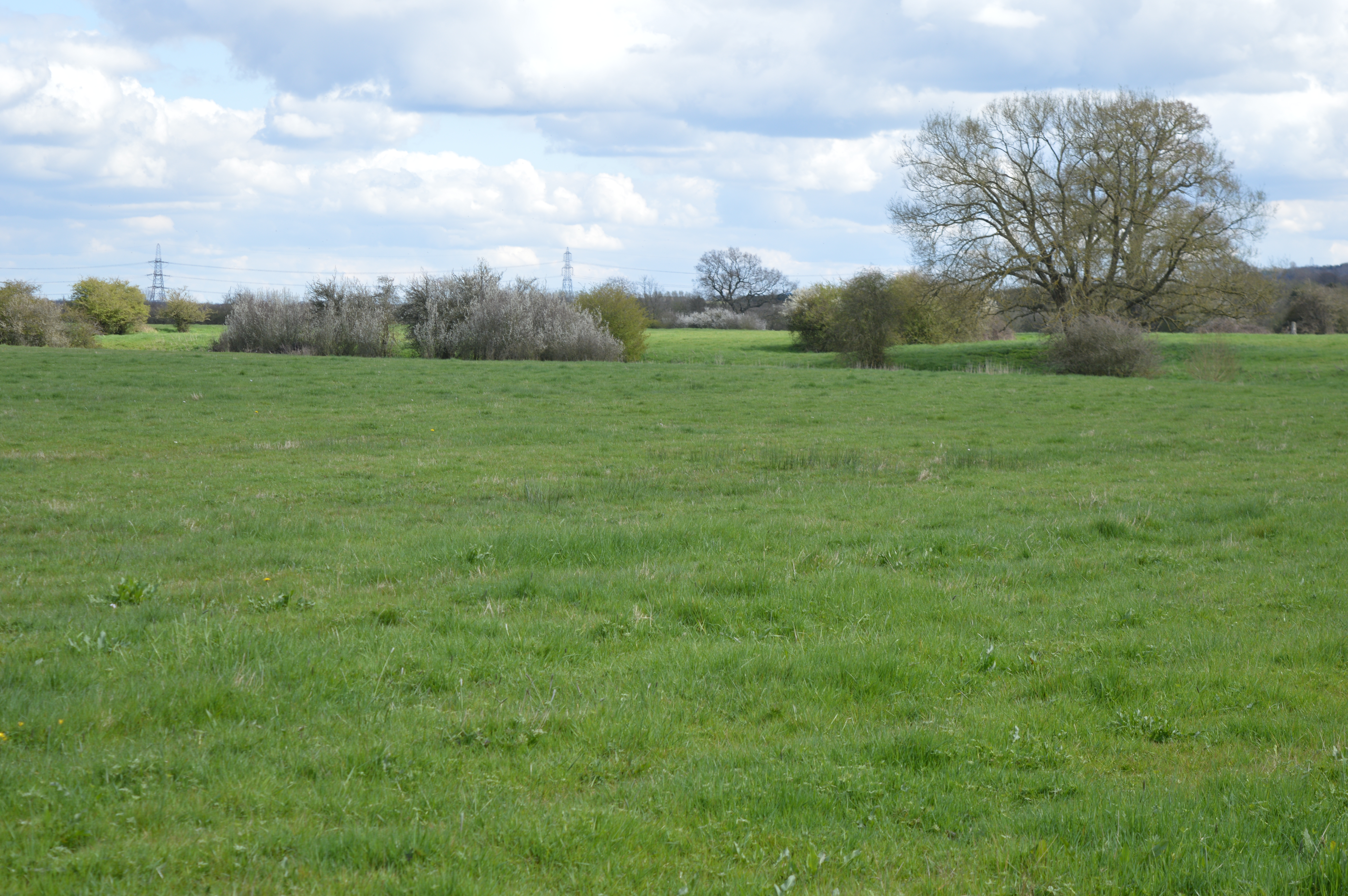
Arncott Bridge Meadows
Arncott Bridge Meadows is an 8.7-hectare (21-acre) biological Site of Special Scientific Interest in Arncott in Oxfordshire.The site is adjacent to the...
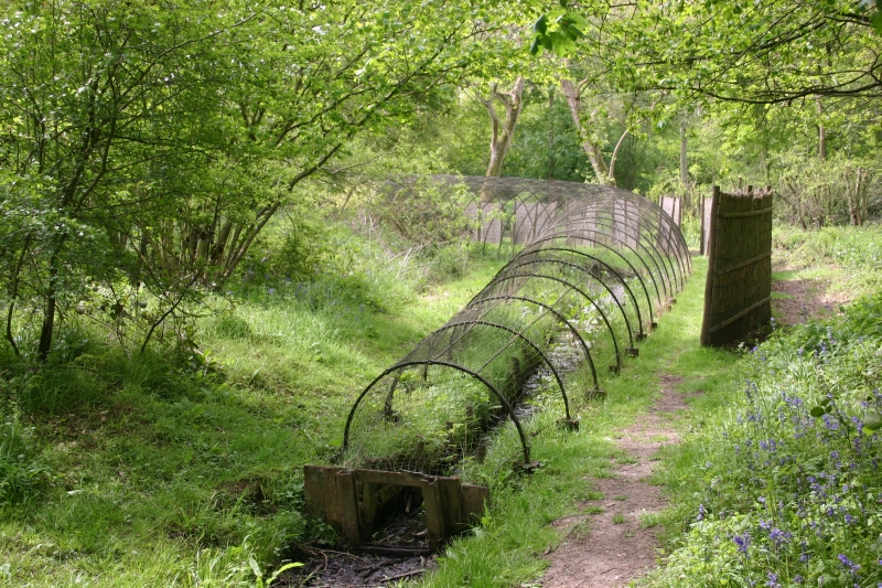
Boarstall Duck Decoy
The Boarstall Duck Decoy is a 17th-century duck decoy located in Boarstall, Buckinghamshire, England, and now a National Trust property. The system took...
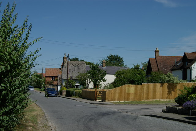
Blackthorn, Oxfordshire
Blackthorn is a village and civil parish in the Cherwell District of Oxfordshire about 3 miles (5 km) southeast of Bicester. The parish is bounded by the...

Piddington, Oxfordshire
Piddington is a village and civil parish about 4.5 miles (7 km) southeast of Bicester in Oxfordshire, England. It lies close to the border with Buckinghamshire...

Whitecross Green and Oriel Woods
Whitecross Green and Oriel Woods is a 63-hectare (160-acre) biological Site of Special Scientific Interest between Oxford and Bicester in Oxfordshire....

Boarstall Tower
Boarstall Tower is a 14th-century moated gatehouse located in Boarstall, Buckinghamshire, England, and now, with its surrounding gardens, a National Trust...
Nearby Amenities
Located within 500m of 51.847062,-1.1090269Have you been to Arncott Wood?
Leave your review of Arncott Wood below (or comments, questions and feedback).