Sherwood Pines Forest Park

Wood, Forest in Nottinghamshire Newark and Sherwood

England

Sherwood Pines Forest Park

Abandoned road near Culloden, Sherwood Forest Park
Abandoned road near Culloden, Sherwood Forest Park Credit: Jonathan Thacker

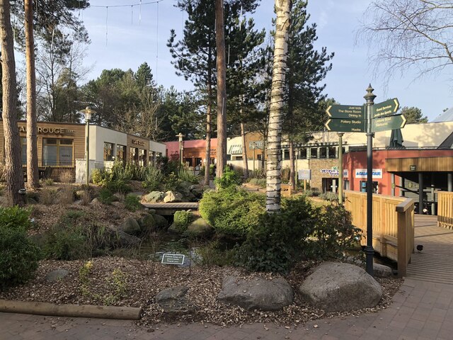
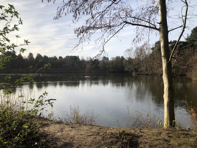
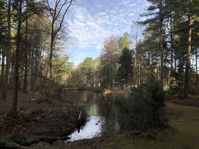
Sherwood Pines Forest Park is a popular recreational area located in Nottinghamshire, England. Spanning over 3,300 acres, it is the largest forest open to the public in the East Midlands region. The park is managed by the Forestry England and offers a wide range of activities and facilities for visitors of all ages.

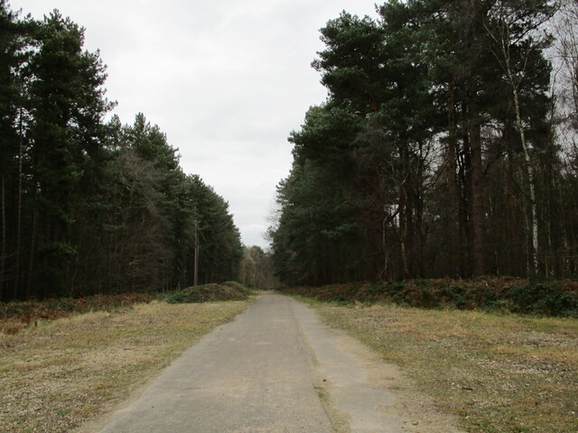
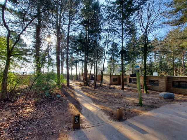
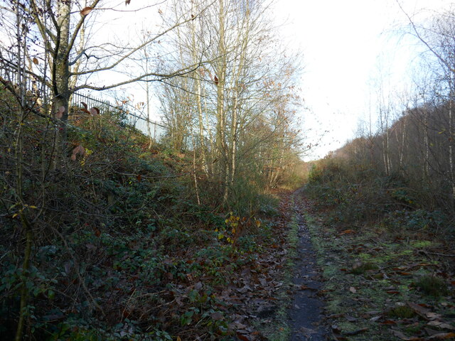
The forest is predominantly composed of pine trees, which provide a picturesque backdrop for walking trails, cycling paths, and horse riding tracks that crisscross the park. These trails cater to various levels of difficulty and offer opportunities for both leisurely strolls and challenging hikes. Additionally, there are designated areas for picnicking and barbecuing, allowing visitors to relax and enjoy the natural surroundings.

For adrenaline enthusiasts, Sherwood Pines Forest Park features an exciting adventure playground and an extensive mountain biking trail network. The mountain biking trails are well-maintained and cater to different skill levels, offering thrilling experiences for both beginners and advanced riders. The park also hosts regular biking events and competitions, attracting enthusiasts from across the region.

Furthermore, the park offers various amenities such as a visitor center, café, and bike hire facilities. The visitor center provides information about the park's history, wildlife, and conservation efforts. It also organizes educational events and activities for schools and families, promoting environmental awareness and appreciation for nature.

Overall, Sherwood Pines Forest Park is a diverse and exciting destination, offering a range of activities and amenities for nature lovers, outdoor enthusiasts, and families alike. Its stunning woodland scenery, coupled with its extensive recreational facilities, make it a must-visit location in Nottinghamshire.

If you have any feedback on the listing, please let us know in the comments section below.

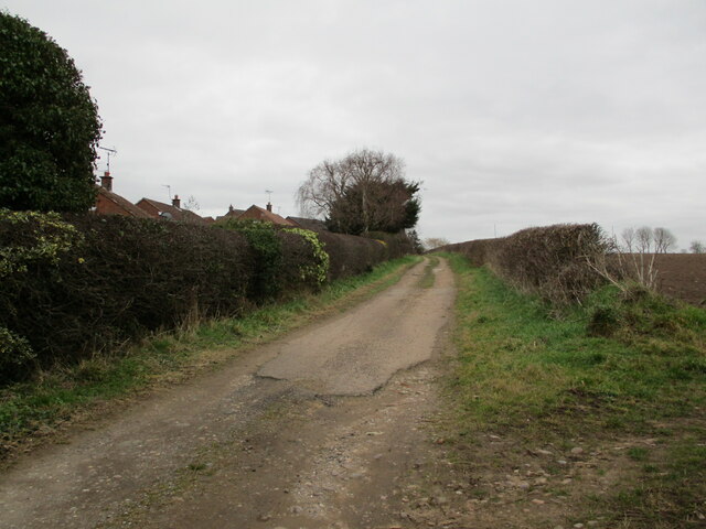
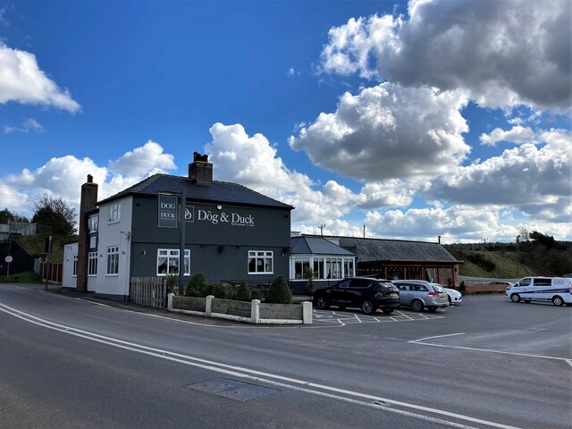
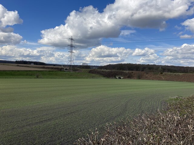
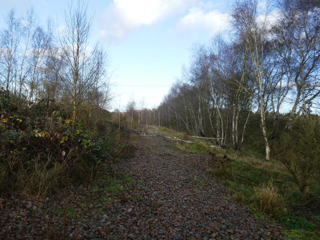
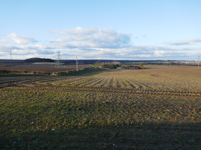
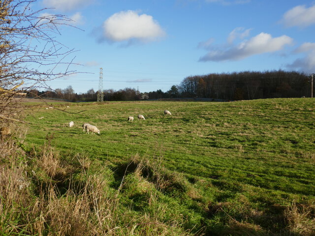
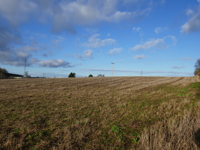
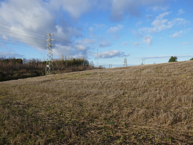
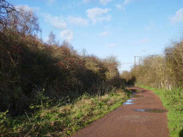
Sherwood Pines Forest Park Images

Images are sourced within 2km of 53.166603/-1.0836499 or Grid Reference SK6163. Thanks to Geograph Open Source API. All images are credited.

Abandoned road near Culloden, Sherwood Forest Park
Track at King's Clipstone
The Dog and Duck in Kings Clipstone Pub, restaurant and gelateria at the eastern end of the village.
The Dog and Duck in Kings Clipstone
Pub, restaurant and gelateria at the eastern end of the village.
Railway Embankment and Flood Dyke in Kings Clipstone This is the course of the Lancashire, Derbyshire and East Coast Railway (LD&ECR), also enticingly known as the Dukeries Line back in its day, although it was coal not tourism which probably prolonged the lifespan of this particular route.
Railway Embankment and Flood Dyke in Kings Clipstone
This is the course of the Lancashire, Derbyshire and East Coast Railway (LD&ECR), also enticingly known as the Dukeries Line back in its day, although it was coal not tourism which probably prolonged the lifespan of this particular route.
Village Square, Center Parcs Sherwood Forest
The Lake, Center Parcs Sherwood Forest
Small woodland lake, Center Parcs Sherwood Forest
Center Parcs
Center Parcs
Path along the course of an old railway This was the Mansfield Railway, opened in 1913 and initially operated by the Great Central Railway <span class="nowrap"><a title="https://en.wikipedia.org/wiki/Mansfield_Railway" rel="nofollow ugc noopener" href="https://en.wikipedia.org/wiki/Mansfield_Railway">Link</a><img style="margin-left:2px;" alt="External link" title="External link - shift click to open in new window" src="https://s1.geograph.org.uk/img/external.png" width="10" height="10"/></span>
Path along the course of an old railway
This was the Mansfield Railway, opened in 1913 and initially operated by the Great Central Railway LinkExternal link
Field boundary and view of the headstocks of the former Clipstone Colliery
Roadway to Fir Tree Farm
Isolated barn
Isolated barn
Course of the former Mansfield Railway The Mansfield Railway opened in 1913 and was initially operated by the Great Central Railway <span class="nowrap"><a title="https://en.wikipedia.org/wiki/Mansfield_Railway" rel="nofollow ugc noopener" href="https://en.wikipedia.org/wiki/Mansfield_Railway">Link</a><img style="margin-left:2px;" alt="External link" title="External link - shift click to open in new window" src="https://s1.geograph.org.uk/img/external.png" width="10" height="10"/></span>
Course of the former Mansfield Railway
The Mansfield Railway opened in 1913 and was initially operated by the Great Central Railway LinkExternal link
Prepared fields near Lidgett Eastfield Cottage in the centre of the picture.
Prepared fields near Lidgett
Eastfield Cottage in the centre of the picture.
Grazing sheep near Clipstone
Stubble field near Clipstone
Stubble field and pylons
Bridleway to Kings Clipstone
Show me another place!

Sherwood Pines Forest Park is located at Grid Ref: SK6163 (Lat: 53.166603, Lng: -1.0836499)

Administrative County: Nottinghamshire

District: Newark and Sherwood

Police Authority: Nottinghamshire

What 3 Words

///sailed.blackbird.pavilions. Near King's Clipstone, Nottinghamshire

Nearby Locations

Sherwood Pines Forest Park

Related Wikis

Edwinstowe

Edwinstowe is a village and civil parish in the Newark and Sherwood district of Nottinghamshire, England, on the edge of Sherwood Forest and the Dukeries...

King John's Palace

King John's Palace is the remains of a former medieval royal residence in Clipstone, north-west Nottinghamshire. The name "King John's Palace" has been...

Clipstone

Clipstone is a former mining village in the Newark and Sherwood district of Nottinghamshire, England. The population of the civil parish was 3,469 at the...

Kings Clipstone

Kings Clipstone is a settlement and civil parish, in the Newark and Sherwood district, in the county of Nottinghamshire, England. The parish lies in the...

Nearby Amenities

Located within 500m of 53.166603,-1.0836499
Cafe
Sherwood Pines Cafe
Cuisine: coffee_shop
Lat/Long: 53.166443/-1.0869764
Created By: Potlatch 0.10f
Leisure: playground
Lat/Long: 53.1662036/-1.0864069
Bus Stop
Sherwood Pines
Bus: yes
Local Ref: IN
Naptan AtcoCode: 3300NS0493
Naptan Bearing: NW
Naptan CommonName: Sherwood Pines
Naptan Indicator: in
Naptan Landmark: Sherwood Pines
Naptan NaptanCode: ntsdgwjm
Naptan Notes: None
Naptan Street: Car Park
Naptan Verified: no
Public Transport: platform
Source: naptan_import
Lat/Long: 53.1681104/-1.0865791
Tourism: picnic_site
Lat/Long: 53.1663233/-1.0861507
Crossing
Crossing: marked
Lat/Long: 53.1684151/-1.0890902
Sherwood Pines Forest Park
Operator: Forestry Commission
Tourism: attraction
Lat/Long: 53.1665409/-1.0868983
Barrier: lift_gate
Source: survey
Lat/Long: 53.170709/-1.0851221
Barrier: lift_gate
Source: Bing
Lat/Long: 53.1676215/-1.0901934
Nets Adventure
Leisure: playground
Operator: Go Ape
Lat/Long: 53.1655687/-1.0855892
Defibrillator
Defibrillator Location: On wall outside toilet block
Emergency: defibrillator
Opening Hours: 24/7
Outdoor: yes
Lat/Long: 53.1669207/-1.0868466
Leisure: picnic_table
Lat/Long: 53.1667096/-1.0868794
Bicycle Parking
Lat/Long: 53.1666332/-1.0868995
The data included in this document is from www.openstreetmap.org. The data is made available under ODbL.

Have you been to Sherwood Pines Forest Park?

Leave your review of Sherwood Pines Forest Park below (or comments, questions and feedback).