York's Wood

Wood, Forest in Buckinghamshire

England

York's Wood

Menmarsh Road Towards Worminghall or Boarstall.
Menmarsh Road Credit: Robin Webster

York's Wood is a beautiful forest located in Buckinghamshire, England. Covering an area of approximately 100 acres, the wood is situated near the village of York, which is about 15 miles northeast of Aylesbury.

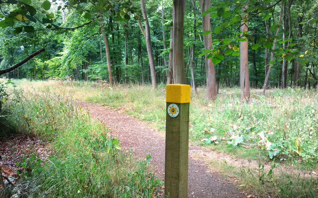
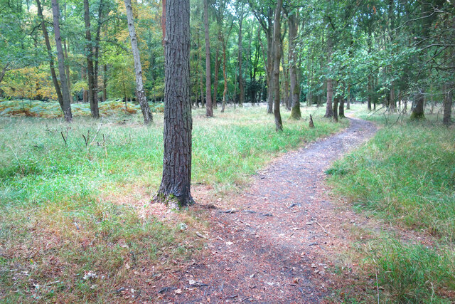
The forest is characterized by a diverse range of tree species, including oak, beech, ash, and birch. These majestic trees create a dense canopy, providing a habitat for a variety of wildlife such as deer, foxes, badgers, and numerous bird species. The woodland floor is adorned with a vibrant carpet of bluebells and wildflowers during the spring months, creating a picturesque scene.

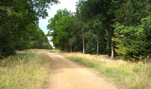
York's Wood is a popular destination for nature enthusiasts, walkers, and photographers. The wood offers a network of well-maintained paths and trails, allowing visitors to explore its enchanting surroundings. There are also designated picnic areas where visitors can relax and enjoy the tranquil ambiance of the forest.

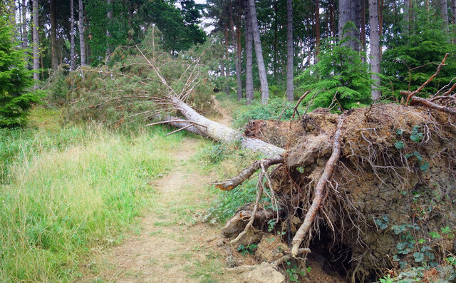
The wood is managed by the local forestry commission, which ensures the preservation of its natural beauty and ecological value. They also organize educational activities and events to raise awareness about conservation and sustainable forestry practices.

Visiting York's Wood offers a unique opportunity to immerse oneself in the peacefulness and serenity of nature. Whether it's a leisurely stroll, a wildlife-spotting adventure, or simply a moment of solitude in the midst of lush greenery, this enchanting forest has something to offer for everyone.

If you have any feedback on the listing, please let us know in the comments section below.

York's Wood Images

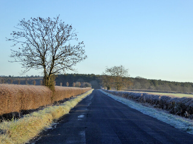
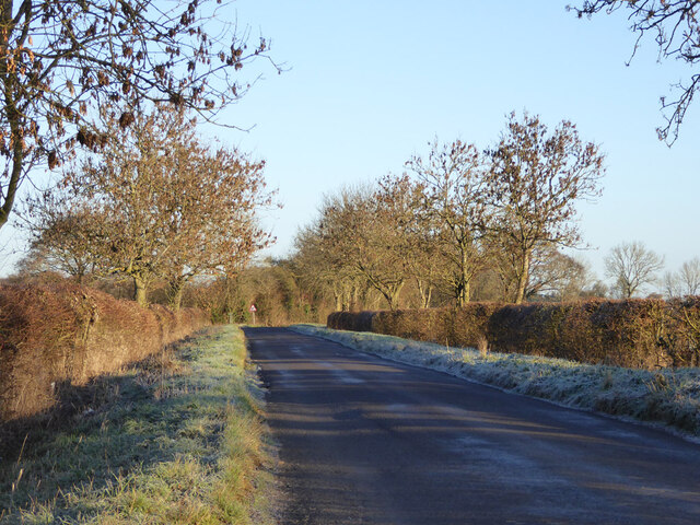
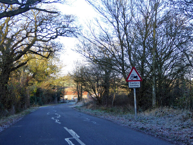
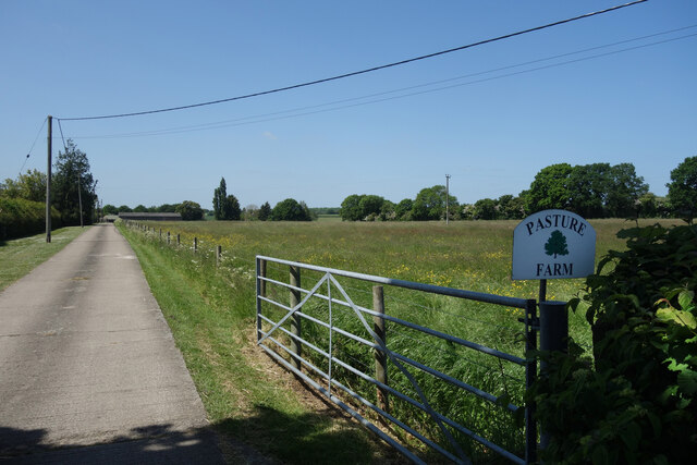
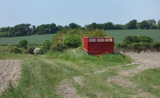
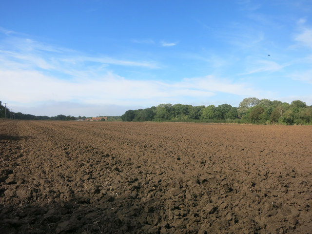
Images are sourced within 2km of 51.791796/-1.1118125 or Grid Reference SP6110. Thanks to Geograph Open Source API. All images are credited.

Menmarsh Road Towards Worminghall or Boarstall.
Menmarsh Road
Towards Worminghall or Boarstall.
Tank by the Oxfordshire Way The Oxfordshire Way is a well defined grassy farm track along here.
The tank looks in fairly good condition so it's hard to tell if it's in use or not. It's beside a small stream so maybe there's a pump to fill it for use in nearby fields where there are cows grazing.
Tank by the Oxfordshire Way
The Oxfordshire Way is a well defined grassy farm track along here. The tank looks in fairly good condition so it's hard to tell if it's in use or not. It's beside a small stream so maybe there's a pump to fill it for use in nearby fields where there are cows grazing.
Road towards Boarstall
Possibly tractors turning on Oakley Road Corner Farm is ahead, likely to be the source of tractor activity.
Possibly tractors turning on Oakley Road
Corner Farm is ahead, likely to be the source of tractor activity.
Waymarker, Bernwood Jubilee Way The Bernwood Jubilee Way is a 98 km path opened in 2002. The path is in the area covered by the ancient Royal Forest of Bernwood. <span class="nowrap"><a title="https://ldwa.org.uk/ldp/members/show_path.php?path_name=Jubilee+Way+%28Bernwood%29" rel="nofollow ugc noopener" href="https://ldwa.org.uk/ldp/members/show_path.php?path_name=Jubilee+Way+%28Bernwood%29">Link</a><img style="margin-left:2px;" alt="External link" title="External link - shift click to open in new window" src="https://s1.geograph.org.uk/img/external.png" width="10" height="10"/></span>
Waymarker, Bernwood Jubilee Way
The Bernwood Jubilee Way is a 98 km path opened in 2002. The path is in the area covered by the ancient Royal Forest of Bernwood. LinkExternal link
Bernwood Way in Bernwood Forest The Bernwood Jubilee Way was opened in 2002 and is a 98 km path centred around the ancient medieval Royal Forest of Bernwood. <span class="nowrap"><a title="https://ldwa.org.uk/ldp/members/show_path.php?path_name=Jubilee+Way+%28Bernwood%29" rel="nofollow ugc noopener" href="https://ldwa.org.uk/ldp/members/show_path.php?path_name=Jubilee+Way+%28Bernwood%29">Link</a><img style="margin-left:2px;" alt="External link" title="External link - shift click to open in new window" src="https://s1.geograph.org.uk/img/external.png" width="10" height="10"/></span>
Bernwood Way in Bernwood Forest
The Bernwood Jubilee Way was opened in 2002 and is a 98 km path centred around the ancient medieval Royal Forest of Bernwood. LinkExternal link
Uprooted Tree on the Footpath Pulled up out of the ground and thrown down on the track.
Makes you realise how strong air can be.
Uprooted Tree on the Footpath
Pulled up out of the ground and thrown down on the track. Makes you realise how strong air can be.
Jubilee Way in Bernwood Forest Part of the Bernwood Jubilee Way long distance path on one of the main forest tracks. Inevitably one of the most visited bits of Bernwood Forest although there is a large network of other tracks and paths going all over the place.
Jubilee Way in Bernwood Forest
Part of the Bernwood Jubilee Way long distance path on one of the main forest tracks. Inevitably one of the most visited bits of Bernwood Forest although there is a large network of other tracks and paths going all over the place.
Oakley Road, Horton-cum-Studley
Advertising Oakfest Nothing to do with trees, especially as it's under a sycamore, this roadside sign is advertising Oakfest, a music festival in nearby Oakley.
Advertising Oakfest
Nothing to do with trees, especially as it's under a sycamore, this roadside sign is advertising Oakfest, a music festival in nearby Oakley.
Entrance to Pasture Farm Looking at the field on the right, that seems a reasonable name.
Entrance to Pasture Farm
Looking at the field on the right, that seems a reasonable name.
Red Trailer by the Path Farm trailer beside a public footpath near Horton-Cum-Studley.
Red Trailer by the Path
Farm trailer beside a public footpath near Horton-Cum-Studley.
The M40 heading southbound
A footbridge over the M40
The M40 heading southbound
Worn out sign at Joshua Farm This poor old name board at the entrance to Joshua Farm has definitely seen better days.
Worn out sign at Joshua Farm
This poor old name board at the entrance to Joshua Farm has definitely seen better days.
Field at Joshua Farm
Show me another place!

York's Wood is located at Grid Ref: SP6110 (Lat: 51.791796, Lng: -1.1118125)

Unitary Authority: Buckinghamshire

Police Authority: Thames Valley

What 3 Words

///infuses.emotional.huddling. Near Oakley, Buckinghamshire

Nearby Locations

York's Wood

Related Wikis

Shabbington Woods Complex

Shabbington Woods Complex is a 305.6-hectare (755-acre) biological Site of Special Scientific Interest ((SSSI) between Horton-cum-Studley and Worminghall...
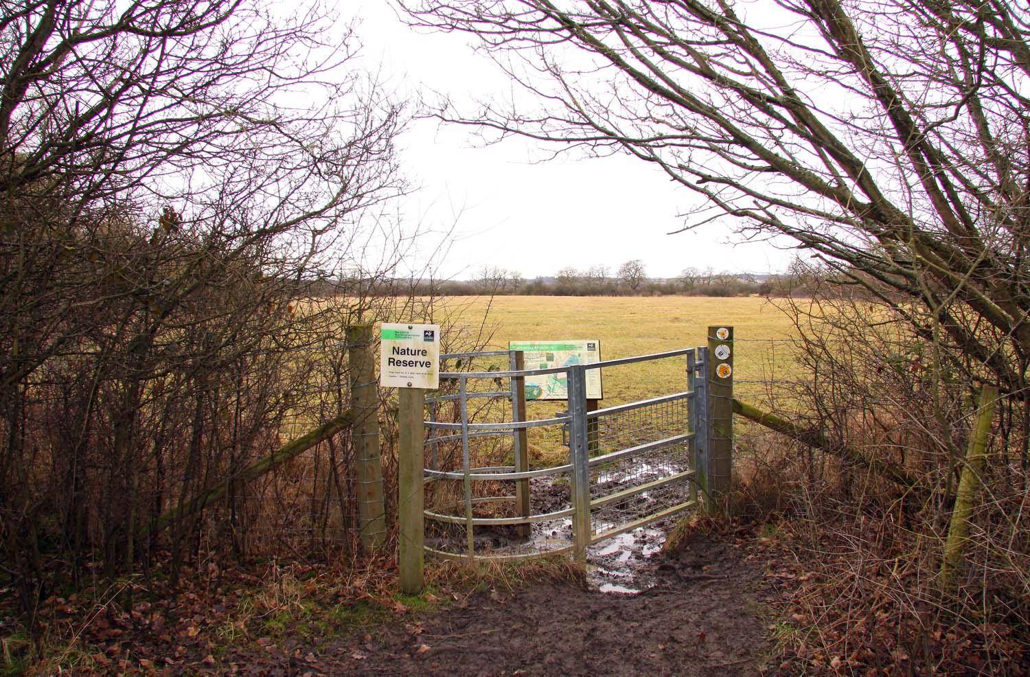
Bernwood Meadows

Bernwood Meadows is a 7.5-hectare (19-acre) nature reserve near Oakley in Buckinghamshire. It is managed by the Berkshire, Buckinghamshire and Oxfordshire...

Bernwood Forest

Bernwood Forest is a forest in England. Historically it was one of several forests of the ancient Kingdom of England and was a Royal hunting forest. It...

Waterperry Wood

Waterperry Wood is a 137-hectare (340-acre) biological Site of Special Scientific Interest (SSSI) east of Oxford in Oxfordshire. It is a Nature Conservation...

Have you been to York's Wood?

Leave your review of York's Wood below (or comments, questions and feedback).