Fox Wood

Wood, Forest in Nottinghamshire Gedling

England

Fox Wood

Hollinwood Lane, Calverton A byway.
Hollinwood Lane, Calverton Credit: Jonathan Thacker

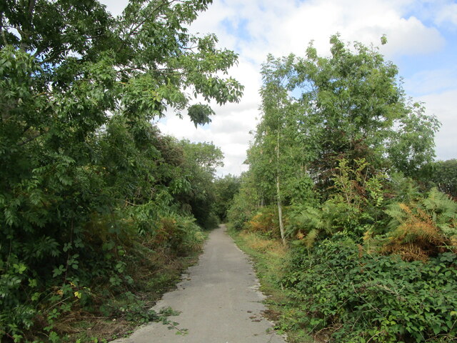
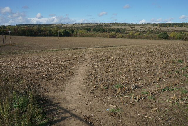
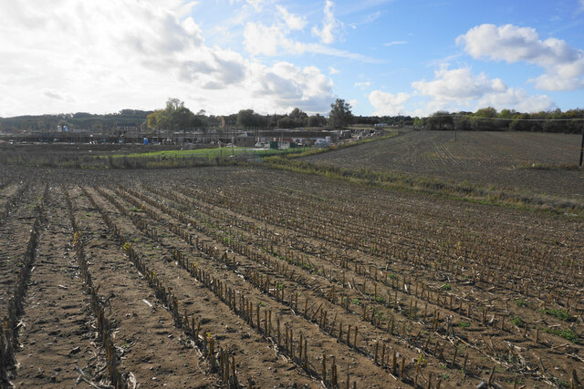
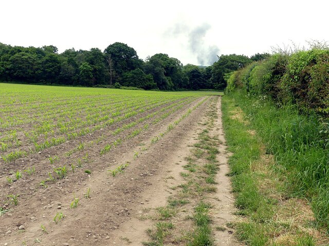
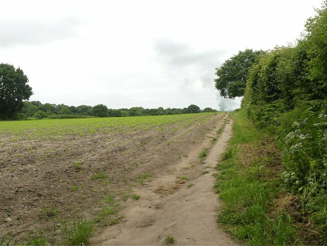
Fox Wood, located in Nottinghamshire, is a picturesque woodland area known for its natural beauty and diverse wildlife. Covering an area of approximately 100 acres, it is situated on the outskirts of the village of Foxton, just a few miles away from the bustling city of Nottingham.

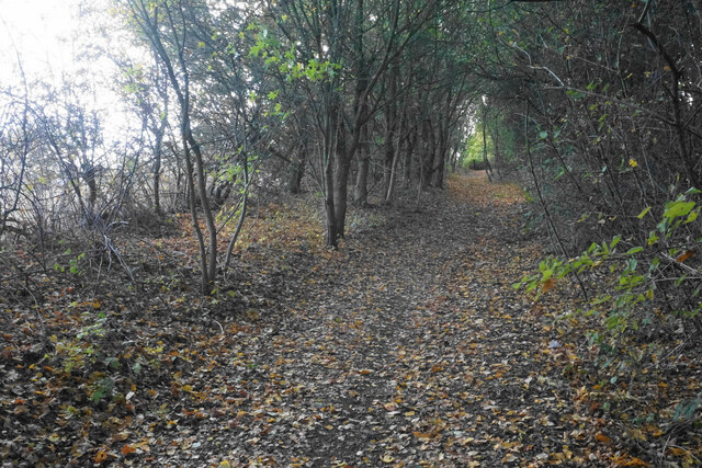
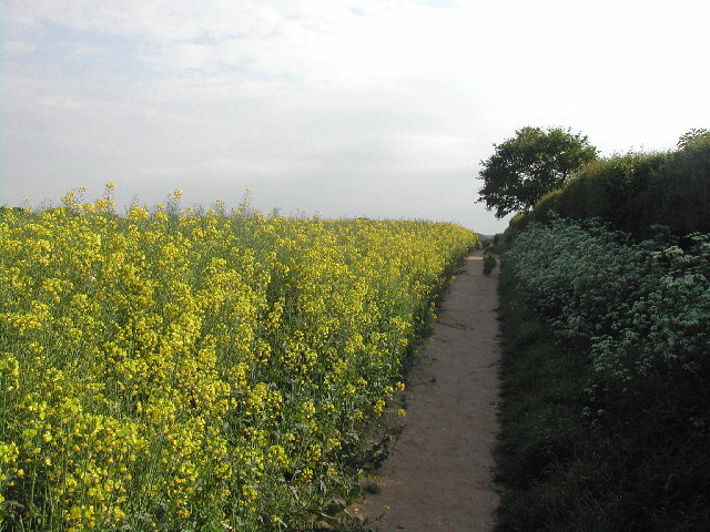
The wood is characterized by its dense canopy of deciduous and coniferous trees, creating a serene and tranquil atmosphere. Walking through the wood, visitors are greeted by a variety of tree species, including oak, beech, ash, and pine. These trees provide a habitat for numerous bird species, such as woodpeckers, owls, and various songbirds, making it a paradise for birdwatchers.

Fox Wood is also home to a wide range of animals, including foxes (hence the name), badgers, rabbits, and squirrels. The wood's diverse ecosystem supports a rich variety of flora and fauna, with carpets of bluebells and wildflowers adorning the forest floor during springtime.

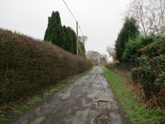
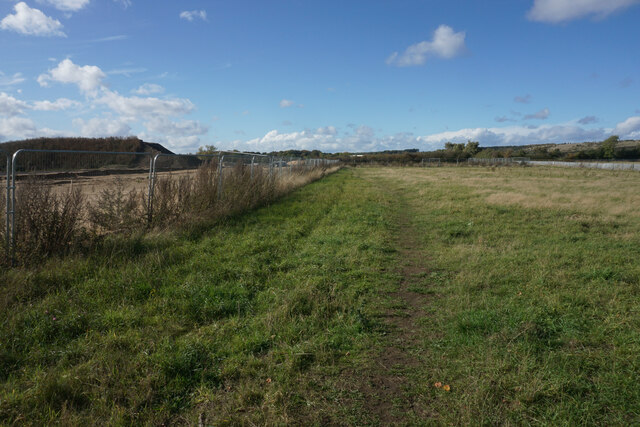
The wood offers several walking trails, allowing nature enthusiasts to explore its beauty at their own pace. Visitors can enjoy a peaceful stroll along well-maintained paths, or venture off the beaten track to discover hidden glades and secret clearings.

The wood is open to the public year-round, and its natural beauty makes it a popular destination for outdoor activities, including picnics, photography, and nature walks. Fox Wood truly captures the essence of Nottinghamshire's countryside, providing a haven for those seeking solace in nature.

If you have any feedback on the listing, please let us know in the comments section below.

Fox Wood Images

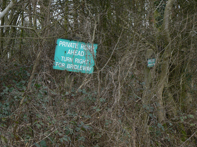
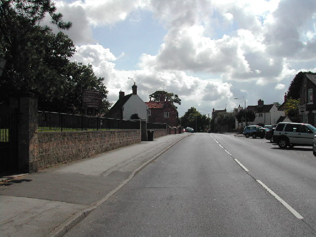
Images are sourced within 2km of 53.02954/-1.0867508 or Grid Reference SK6148. Thanks to Geograph Open Source API. All images are credited.

Hollinwood Lane, Calverton A byway.
Hollinwood Lane, Calverton
A byway.
Vacant site off Hollinwood Lane The site has been vacant for a good many years.
Vacant site off Hollinwood Lane
The site has been vacant for a good many years.
Carrington Lane, Calverton
Willow Rise New housing on the edge of Calverton on the western side of Flatts Lane.
Willow Rise
New housing on the edge of Calverton on the western side of Flatts Lane.
Footpath near Calverton The path is going round a site on the left which will bring a large housing expansion of Calverton.
Footpath near Calverton
The path is going round a site on the left which will bring a large housing expansion of Calverton.
Footpath near Calverton Moving away from the village. The high ground ahead was the tip of the former colliery. The last crop in this field was sweetcorn.
Footpath near Calverton
Moving away from the village. The high ground ahead was the tip of the former colliery. The last crop in this field was sweetcorn.
Stubble field near Calverton A former crop of sweetcorn. Beyond the field is the north west expansion of housing in Calverton.
Stubble field near Calverton
A former crop of sweetcorn. Beyond the field is the north west expansion of housing in Calverton.
Footpath to Calverton A new location for a supermarket trolley.
Footpath to Calverton
A new location for a supermarket trolley.
Byway to Calverton Not suitable for vehicles.
Byway to Calverton
Not suitable for vehicles.
Footpath long the hedgerow Older maps show it running diagonally across the field to close to the dead tree.
Footpath long the hedgerow
Older maps show it running diagonally across the field to close to the dead tree.
Footpath to Oxton Taken at the point where it leaves the narrow lane for the first few 10s of metres of Carrington Lane. It recreates this picture <a title="https://www.geograph.org.uk/photo/34723" href="https://www.geograph.org.uk/photo/34723">Link</a> which was previously the 'First' for the adjacent square, but proved to have been incorrectly located.
Footpath to Oxton
Taken at the point where it leaves the narrow lane for the first few 10s of metres of Carrington Lane. It recreates this picture Link which was previously the 'First' for the adjacent square, but proved to have been incorrectly located.
Calverton Business Park
Hoyle Road, Calverton Business Park
Path between Calverton and Oxton The rape in full flower
Path between Calverton and Oxton
The rape in full flower
The northern fringe of Calverton This is the junction of Flatts Lane (left) with Mansfield Lane, which effectively marks the northernmost point in Calverton village. A junction with the B6386 is less than a quarter of a mile away (hence the advance Give Way sign), but was hidden in the mist when this picture was taken.
The northern fringe of Calverton
This is the junction of Flatts Lane (left) with Mansfield Lane, which effectively marks the northernmost point in Calverton village. A junction with the B6386 is less than a quarter of a mile away (hence the advance Give Way sign), but was hidden in the mist when this picture was taken.
Wood Barn Farm Nestling in one of the combes above Woodborough. Seen from Hunger Hill
Wood Barn Farm
Nestling in one of the combes above Woodborough. Seen from Hunger Hill
Wood Barn Farm Nestling in one of the combes above Woodborough. The rows of brick outbuildings present a very traditional farmyard.
Wood Barn Farm
Nestling in one of the combes above Woodborough. The rows of brick outbuildings present a very traditional farmyard.
Bridleway sign The local landowner has taken the trouble to supplement the formal waymarks with clear signs.
Bridleway sign
The local landowner has taken the trouble to supplement the formal waymarks with clear signs.
Show me another place!

Fox Wood is located at Grid Ref: SK6148 (Lat: 53.02954, Lng: -1.0867508)

Administrative County: Nottinghamshire

District: Gedling

Police Authority: Nottinghamshire

What 3 Words

///brave.tried.venue. Near Calverton, Nottinghamshire

Nearby Locations

Fox Wood

Related Wikis

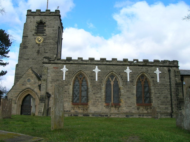
St Wilfrid's Church, Calverton

St Wilfrid's Church is a Grade II* listed parish church in the Church of England in Calverton, Nottinghamshire. == History == St Wilfrid’s church seems...

Calverton, Nottinghamshire

Calverton () is a village and civil parish in Nottinghamshire, of some 3,300 acres (1,300 ha), in the Gedling district, about 7 miles north-east of Nottingham...

Colonel Frank Seely Academy

Colonel Frank Seely Academy (formerly Colonel Frank Seely School) is a coeducational secondary school and sixth form located in Calverton in the English...

Calverton Miners' Welfare F.C.

Calverton Miners' Welfare Football Club is an association football club in Calverton, near Nottingham, Nottinghamshire, England. They are currently members...

Nearby Amenities

Located within 500m of 53.02954,-1.0867508
Barrier: kissing_gate
Lat/Long: 53.0268409/-1.0901394
Barrier: kissing_gate
Lat/Long: 53.0287052/-1.0878112
Barrier: cattle_grid
Lat/Long: 53.0258521/-1.0828726
Information: board
Tourism: information
Lat/Long: 53.0299054/-1.0924823
Bench
Backrest: no
Lat/Long: 53.0299086/-1.0924448
The data included in this document is from www.openstreetmap.org. The data is made available under ODbL.

Have you been to Fox Wood?

Leave your review of Fox Wood below (or comments, questions and feedback).