Carlton Park Belt

Wood, Forest in Yorkshire Ryedale

England

Carlton Park Belt

Cowhouse Bank view The view from Cowhouse Bank car park.
Cowhouse Bank view Credit: T Eyre

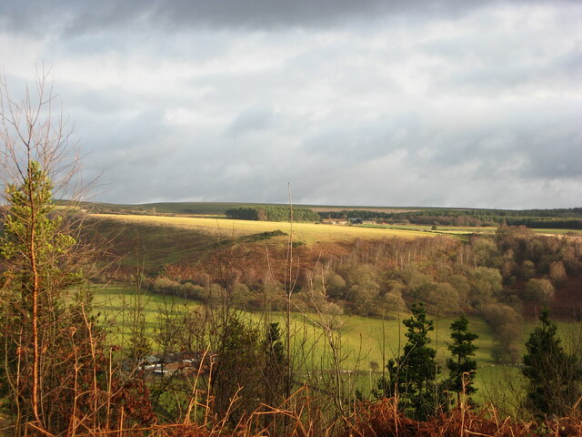
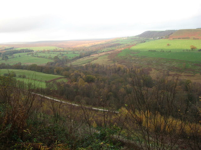
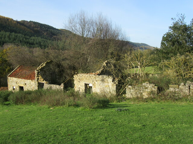
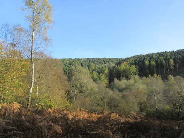
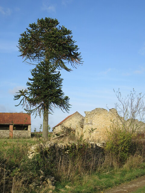
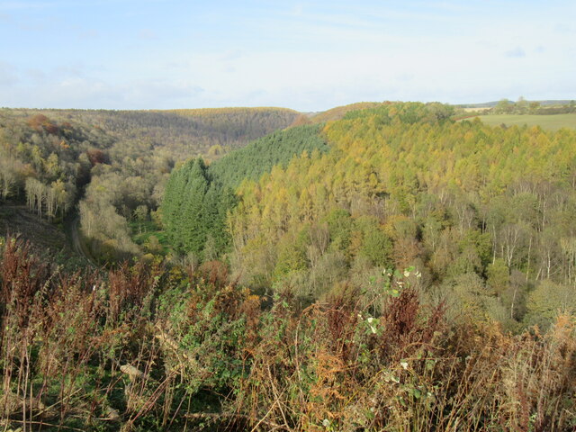
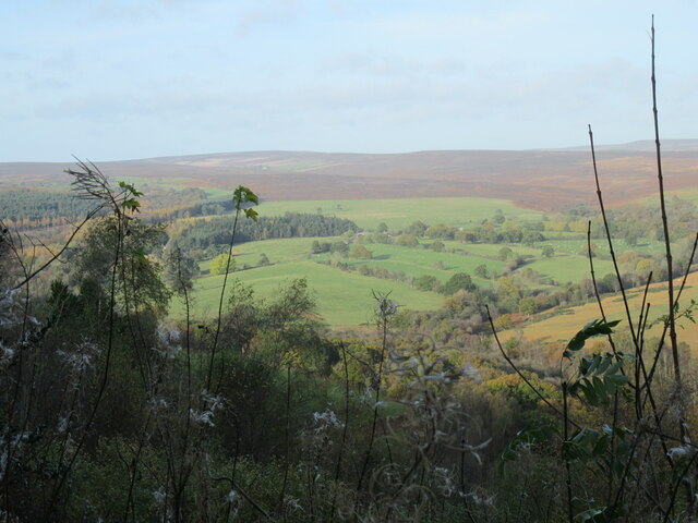
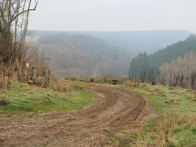
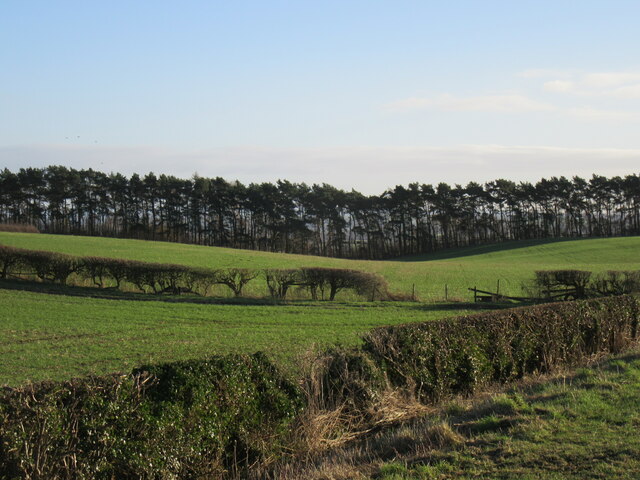
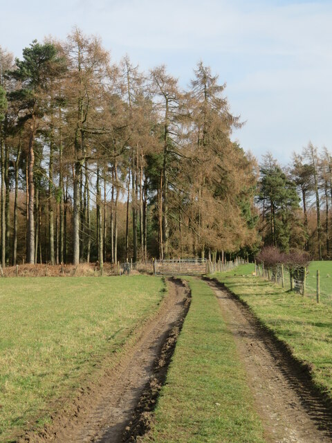
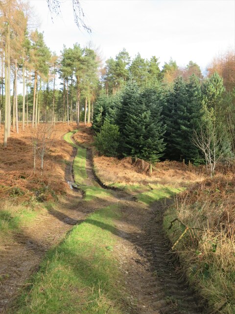
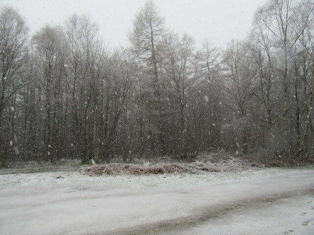
Carlton Park Belt is a lush and expansive woodland located in Yorkshire, England. Covering an area of approximately 200 acres, this forest is a haven for nature enthusiasts and those seeking a serene and peaceful escape from the bustling city life.

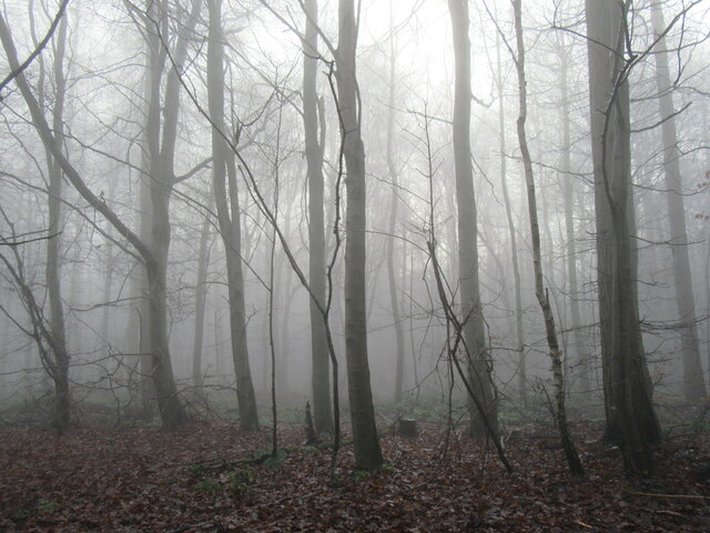
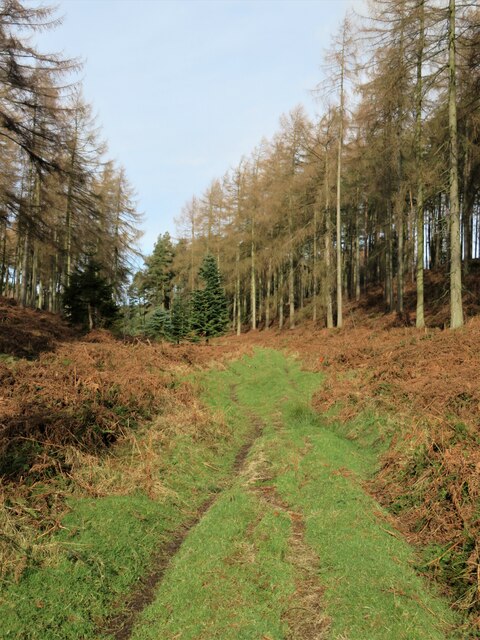
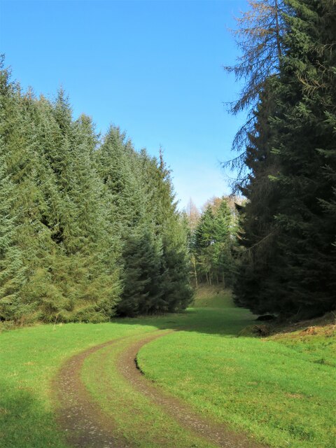
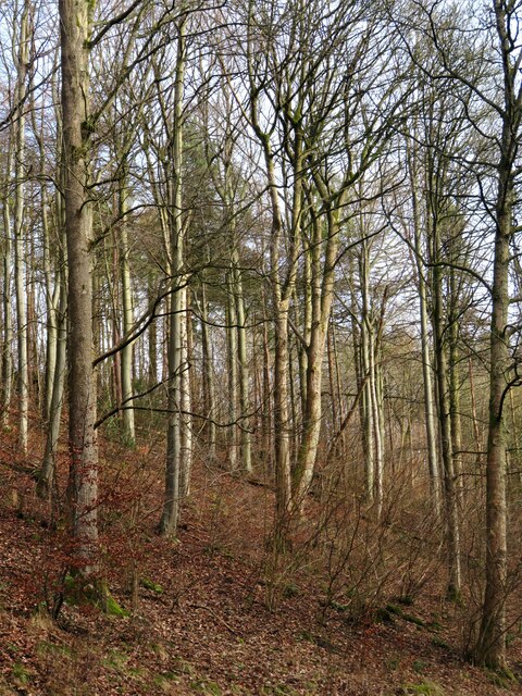
The park belt is characterized by its dense canopy of tall trees, predominantly consisting of oak, beech, and birch. These towering trees provide a sheltered and shaded environment, creating a cool and refreshing atmosphere within the woodland. The forest floor is carpeted with a variety of wildflowers, ferns, and mosses, adding to the natural beauty of the area.

The park belt is home to a diverse range of wildlife, making it an ideal spot for bird watchers and animal lovers. Visitors may spot various species of birds, including woodpeckers, owls, and songbirds. Squirrels and rabbits can also be seen darting through the undergrowth, while if lucky, one might catch a glimpse of a shy deer or fox.

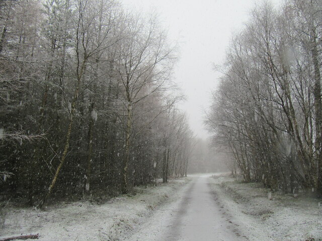
There are several well-maintained walking trails that wind their way through Carlton Park Belt, allowing visitors to explore the forest at their own pace. These paths are suitable for all abilities and offer opportunities for leisurely strolls or more challenging hikes. Along the way, benches and picnic spots are scattered, providing places to rest, relax, and take in the stunning scenery.

Carlton Park Belt is a cherished natural gem in Yorkshire, offering a tranquil retreat for individuals and families alike. Whether it's for a leisurely walk, birdwatching, or simply unwinding amidst nature, this woodland promises a rejuvenating experience for all who venture into its enchanting depths.

If you have any feedback on the listing, please let us know in the comments section below.

Carlton Park Belt Images

Images are sourced within 2km of 54.278184/-1.0593663 or Grid Reference SE6187. Thanks to Geograph Open Source API. All images are credited.

Cowhouse Bank view The view from Cowhouse Bank car park.
Cowhouse Bank view
The view from Cowhouse Bank car park.
Riccal Dale view Looking NW into Riccal Dale.
Riccal Dale view
Looking NW into Riccal Dale.
Halfway up Cowhouse Bank Looking NE from halfway up Cowhouse Bank.
Halfway up Cowhouse Bank
Looking NE from halfway up Cowhouse Bank.
Ruined barns at Hasty Bank Farm Ruined barns at Hasty Bank Farm in Riccal Dale.
Ruined barns at Hasty Bank Farm
Ruined barns at Hasty Bank Farm in Riccal Dale.
Riccal Dale in November Looking east from the main track in Riccal Dale.
Riccal Dale in November
Looking east from the main track in Riccal Dale.
Chilean Pine tree at Rea Garth Farm Chilean Pines are often referred to as 'Monkey Puzzle trees'.
Chilean Pine tree at Rea Garth Farm
Chilean Pines are often referred to as 'Monkey Puzzle trees'.
View across Riccal Dale Looking north near Rea Garth Farm and the 'Monkey Puzzle' tree.
View across Riccal Dale
Looking north near Rea Garth Farm and the 'Monkey Puzzle' tree.
Cowhouse Bank view Looking north from a bench at Cowhouse Bank.
Cowhouse Bank view
Looking north from a bench at Cowhouse Bank.
Baxton's  Wood Baxton's Wood on a foggy December afternoon.
Baxton's Wood
Baxton's Wood on a foggy December afternoon.
December gloom in Riccal Dale One of several tracks and paths that drop down into the dale from the edge of the hill. Despite the gloom of a December day, the views from the dale edge path have improved recently thanks to some timber clearance. Riccal Dale is one of the most attractive and quietest of the dales that cut through the Tabular Hills.
December gloom in Riccal Dale
One of several tracks and paths that drop down into the dale from the edge of the hill. Despite the gloom of a December day, the views from the dale edge path have improved recently thanks to some timber clearance. Riccal Dale is one of the most attractive and quietest of the dales that cut through the Tabular Hills.
Carlton Road view Looking SE from Carlton Road.
Carlton Road view
Looking SE from Carlton Road.
Path towards Ash Dale This is path number 25.45/055 which links High Baxtons with Carlton Grange and drops into the top end of Ash Dale.
Path towards Ash Dale
This is path number 25.45/055 which links High Baxtons with Carlton Grange and drops into the top end of Ash Dale.
Forest tracks The path from High Baxton's towards Carlton Grange heads off to the right here and drops into Ash Dale.
Forest tracks
The path from High Baxton's towards Carlton Grange heads off to the right here and drops into Ash Dale.
Path in Ash Dale I was tempted into following this path which is marked on the OS map. It isn't a right of way, although it does link two public footpaths. Easy enough to follow, but in places the surface is badly drained and churned up, whilst the amount of brambles to fight through increases as one heads south. Not recommended.
Path in Ash Dale
I was tempted into following this path which is marked on the OS map. It isn't a right of way, although it does link two public footpaths. Easy enough to follow, but in places the surface is badly drained and churned up, whilst the amount of brambles to fight through increases as one heads south. Not recommended.
Path between conifers The path ascending Ash Dale, seen from a similar spot to one taken in November 2016 looking in the opposite direction.
Path between conifers
The path ascending Ash Dale, seen from a similar spot to one taken in November 2016 looking in the opposite direction.
Ash Dale Plantation The tree covered slopes on the east side of Ash Dale. Despite the name, there seems to be a distinct lack of ash trees in the valley. The dominant species here appears to be beech.
Ash Dale Plantation
The tree covered slopes on the east side of Ash Dale. Despite the name, there seems to be a distinct lack of ash trees in the valley. The dominant species here appears to be beech.
Baxton's Wood in the snow Falling snow in Baxton's Wood.
Baxton's Wood in the snow
Falling snow in Baxton's Wood.
Cowhouse Bank car park in the snow All this snow fell during 1½ hours.
Cowhouse Bank car park in the snow
All this snow fell during 1½ hours.
Show me another place!

Carlton Park Belt is located at Grid Ref: SE6187 (Lat: 54.278184, Lng: -1.0593663)

Division: North Riding

Administrative County: North Yorkshire

District: Ryedale

Police Authority: North Yorkshire

What 3 Words

///weddings.motive.moved. Near Helmsley, North Yorkshire

Related Wikis

Pockley

Pockley is a small village and civil parish in North Yorkshire, England. It is about 1 mile north-east of Helmsley turning north from the A170 road. Its...

Church of All Saints, Helmsley

The Church of All Saints is an Anglican parish church serving the town of Helmsley in North Yorkshire, England. It is located between the north-west corner...

Siege of Helmsley Castle

Helmsley Castle was a Royalist stronghold in North Yorkshire during the First English Civil War. It was besieged by Parliamentarian forces in September...

Helmsley

Helmsley is a market town and civil parish in North Yorkshire, England. Historically part of the North Riding of Yorkshire, the town is located at the...

Helmsley Town Hall

Helmsley Town Hall is a municipal building in the Market Place in Helmsley, North Yorkshire, England. The structure, which is used as a community library...

Helmsley railway station

Helmsley railway station served the market town of Helmsley in North Yorkshire from 1871 until 1964, although the regular passenger service (and the line...

Beadlam Roman villa

Beadlam Roman villa is a Roman villa on the east bank of the River Riccal in North Yorkshire, England. It is in the district of Ryedale between Helmsley...

Rievaulx Terrace

Rievaulx Terrace is a site located in the North York Moors National Park, in North Yorkshire, England, overlooking Rievaulx Abbey and owned by the National...

Nearby Amenities

Located within 500m of 54.278184,-1.0593663
Information: guidepost
Tourism: information
Lat/Long: 54.2802105/-1.0603602
Information: route_marker
Tourism: information
Lat/Long: 54.2802204/-1.0537614
The data included in this document is from www.openstreetmap.org. The data is made available under ODbL.

Have you been to Carlton Park Belt?

Leave your review of Carlton Park Belt below (or comments, questions and feedback).