Cottage Copse

Wood, Forest in Oxfordshire South Oxfordshire

England

Cottage Copse

Former farmhouse, Waterperry Now two houses, one behind the other in this view. Grade II listed, late 18th century, perhaps partly earlier.
Former farmhouse, Waterperry Credit: Robin Webster

Cottage Copse, located in Oxfordshire, is a picturesque wood or forest that offers a serene and natural retreat for visitors. Covering an area of approximately 50 acres, this woodland is a haven for nature lovers and outdoor enthusiasts.

The copse is characterized by its dense canopy of trees, predominantly consisting of oak, beech, and birch. These towering trees provide ample shade and contribute to the wood's tranquil ambiance. The forest floor is covered with a thick carpet of moss, creating a soft and inviting path for walkers and hikers.

Within the copse, there are several well-maintained trails that wind through the woodland, allowing visitors to explore its beauty at their own pace. These paths are suitable for all levels of fitness, making it an ideal destination for families and individuals alike.

Cottage Copse is also home to a diverse range of wildlife. Keen-eyed visitors may spot squirrels darting between the trees or hear the melodic songs of various bird species. The copse also provides habitat for a variety of insects, including butterflies and bees, making it a haven for nature enthusiasts and photographers.

The copse is easily accessible, with a small car park located nearby, ensuring visitors can easily reach this natural oasis. It is recommended to wear appropriate footwear and bring insect repellent, especially during the summer months.

Cottage Copse in Oxfordshire is a place where one can escape the hustle and bustle of everyday life and immerse themselves in the beauty of nature.

If you have any feedback on the listing, please let us know in the comments section below.

Cottage Copse Images

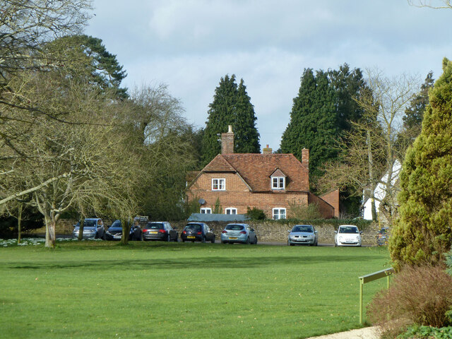
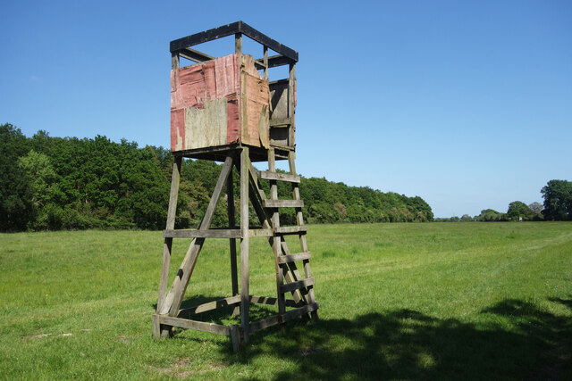
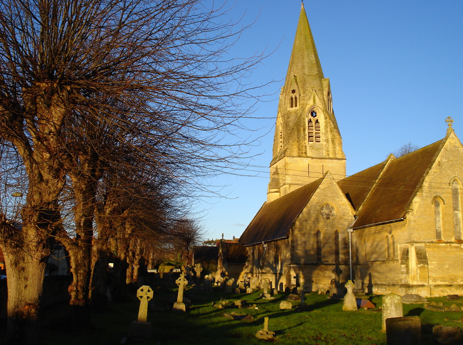
Images are sourced within 2km of 51.756487/-1.1190538 or Grid Reference SP6006. Thanks to Geograph Open Source API. All images are credited.

Former farmhouse, Waterperry Now two houses, one behind the other in this view. Grade II listed, late 18th century, perhaps partly earlier.
Former farmhouse, Waterperry
Now two houses, one behind the other in this view. Grade II listed, late 18th century, perhaps partly earlier.
Falling Apart Round The Edges Another of the wooden towers which are all along the Oxfordshire Way around the edge of Bernwood Forest. They are in various states of repair, with this one looking especially dodgy.
The bit in the distance where the forest curves off to the left is called Drunkard's Corner.
Falling Apart Round The Edges
Another of the wooden towers which are all along the Oxfordshire Way around the edge of Bernwood Forest. They are in various states of repair, with this one looking especially dodgy. The bit in the distance where the forest curves off to the left is called Drunkard's Corner.
Wheatley: High Street and the United Reformed Church This is the eastern end of the High Street with Friday Lane leading off to the right, and the United Reformed Church <span class="nowrap"><a title="http://www.findachurch.co.uk/churches/sp/sp50/wheatleyurc/" rel="nofollow ugc noopener" href="http://www.findachurch.co.uk/churches/sp/sp50/wheatleyurc/">Link</a><img style="margin-left:2px;" alt="External link" title="External link - shift click to open in new window" src="https://s1.geograph.org.uk/img/external.png" width="10" height="10"/></span> on the left.
Wheatley: High Street and the United Reformed Church
This is the eastern end of the High Street with Friday Lane leading off to the right, and the United Reformed Church LinkExternal link on the left.
Lychgate to Saint Bartholomew Lychgate leading to the churchyard at Saint Bartholomew, Holton.
Lychgate to Saint Bartholomew
Lychgate leading to the churchyard at Saint Bartholomew, Holton.
Churchyard at Saint Bartholomew's The churchyard as you walk in the lychgate at Saint Bartholomew Holton
Churchyard at Saint Bartholomew's
The churchyard as you walk in the lychgate at Saint Bartholomew Holton
The Holton Millennium Stone Millennium stone in the churchyard at Saint Bartholomew
The Holton Millennium Stone
Millennium stone in the churchyard at Saint Bartholomew
Saint Bartholomew Holton Saint Bartholomew Holton, not much to add other than it's a 12th century church sitting in a large churchyard.
Saint Bartholomew Holton
Saint Bartholomew Holton, not much to add other than it's a 12th century church sitting in a large churchyard.
Graves by the Path Some of the graves and a lamp along the path leading to Saint Bartholomew Holton
Graves by the Path
Some of the graves and a lamp along the path leading to Saint Bartholomew Holton
The older Graves These are some of the older burials at Saint Bartholomew Holton in a prominent position to be seen
The older Graves
These are some of the older burials at Saint Bartholomew Holton in a prominent position to be seen
Back by the Path Looking back to the west along the path at Saint Bartholomew Holton
Back by the Path
Looking back to the west along the path at Saint Bartholomew Holton
The tower on Saint Bartholomew View of the south side and bell tower on Saint Bartholomew Holton
The tower on Saint Bartholomew
View of the south side and bell tower on Saint Bartholomew Holton
West end on Saint Bartholomew View of the west end of Saint Bartholomew Holton
West end on Saint Bartholomew
View of the west end of Saint Bartholomew Holton
Through the Window The open door on the bell tower at Saint Bartholomew Holton is walled up inside with a window where you can see some of the church. This is as near as I got as the door to the church is locked.
Through the Window
The open door on the bell tower at Saint Bartholomew Holton is walled up inside with a window where you can see some of the church. This is as near as I got as the door to the church is locked.
Window in the Doorway A window has been fitted inside the old doorway at the base of the bell tower on Saint Bartholomew Holton
Window in the Doorway
A window has been fitted inside the old doorway at the base of the bell tower on Saint Bartholomew Holton
Window over the doorway Gothic window over the old doorway leading to Saint Bartholomew Holton
Window over the doorway
Gothic window over the old doorway leading to Saint Bartholomew Holton
Steps on the Tower Just over to the left of them is a benchmark at Saint Bartholomew Holton
Steps on the Tower
Just over to the left of them is a benchmark at Saint Bartholomew Holton
Cutmark on Saint Bartholomew Holton Cut benchmark on Saint Bartholomew Holton <a href="https://www.geograph.org.uk/photo/4681262">SP6006 : Steps on the Tower</a>
Cutmark on Saint Bartholomew Holton
Cut benchmark on Saint Bartholomew Holton SP6006 : Steps on the Tower
Headstones in the Long Grass Over on the south side of Saint Bartholomew Holton are a lot of graves of the same family lost in the long grass
Headstones in the Long Grass
Over on the south side of Saint Bartholomew Holton are a lot of graves of the same family lost in the long grass
Show me another place!

Cottage Copse is located at Grid Ref: SP6006 (Lat: 51.756487, Lng: -1.1190538)

Administrative County: Oxfordshire

District: South Oxfordshire

Police Authority: Thames Valley

What 3 Words

///oldest.fruits.ticked. Near Wheatley, Oxfordshire

Related Wikis

Holton, Oxfordshire

Holton is a village and civil parish in South Oxfordshire about 5.5 miles (9 km) east of Oxford. The parish is bounded to the southeast by the River Thame...

Wheatley Park School

Wheatley Park School (WPS) is a co-educational state secondary school of approximately 1,150 pupils situated in Holton, Oxfordshire, England about 8 miles...

Bullingdon Rural District

Bullingdon Rural District was a rural district in Oxfordshire, England from 1932 to 1974, covering an area to the south-east of the city of Oxford. The...

Holton Wood

Holton Wood is a 50.6-hectare (125-acre) biological Site of Special Scientific Interest east of Oxford in Oxfordshire.This ancient wood was formerly part...

St Mary the Virgin, Wheatley

The Church of St Mary the Virgin is a parish church in Wheatley, Oxfordshire, in the Church of England Diocese of Oxford. The church was designed by George...

Lyehill Quarry

Lyehill Quarry is a 2.8-hectare (6.9-acre) geological Site of Special Scientific Interest east of Oxford in Oxfordshire. It is a Geological Conservation...

Wheatley, Oxfordshire

Wheatley is a village and civil parish in Oxfordshire, about 5 miles (8 km) east of Oxford. The parish includes the hamlet of Littleworth, which is immediately...

Waterperry

Waterperry is a village and former civil parish, now in the parish of Waterperry with Thomley, in the South Oxfordshire district, in Oxfordshire and close...

Nearby Amenities

Located within 500m of 51.756487,-1.1190538
Power: pole
Source: Bing
Lat/Long: 51.7549143/-1.1226469
Power: pole
Source: Bing
Lat/Long: 51.7561661/-1.1261633
Power: pole
Source: Bing
Lat/Long: 51.7585002/-1.1249404
Power: pole
Source: Bing
Lat/Long: 51.7586/-1.1238136
Power: pole
Source: Bing
Lat/Long: 51.7526843/-1.1219683
Power: pole
Source: Bing
Lat/Long: 51.7545474/-1.1219978
Power: pole
Source: Bing
Lat/Long: 51.7576071/-1.1253961
Power: pole
Source: Bing
Lat/Long: 51.7567321/-1.1258575
Power: pole
Source: Bing
Lat/Long: 51.7586514/-1.122722
Power: pole
Source: Bing
Lat/Long: 51.7554355/-1.1235883
Power: pole
Source: Bing
Lat/Long: 51.7535362/-1.1219871
Direction: 180
Generator Method: photovoltaic
Generator Output Electricity: yes
Generator Solar Modules: 16
Generator Source: solar
Generator Type: solar_photovoltaic_panel
Location: roof
Power: generator
Lat/Long: 51.7535072/-1.1230801
Direction: 175
Generator Method: photovoltaic
Generator Output Electricity: yes
Generator Solar Modules: 14
Generator Source: solar
Generator Type: solar_photovoltaic_panel
Location: roof
Power: generator
Lat/Long: 51.7534751/-1.1234107
The data included in this document is from www.openstreetmap.org. The data is made available under ODbL.

Have you been to Cottage Copse?

Leave your review of Cottage Copse below (or comments, questions and feedback).