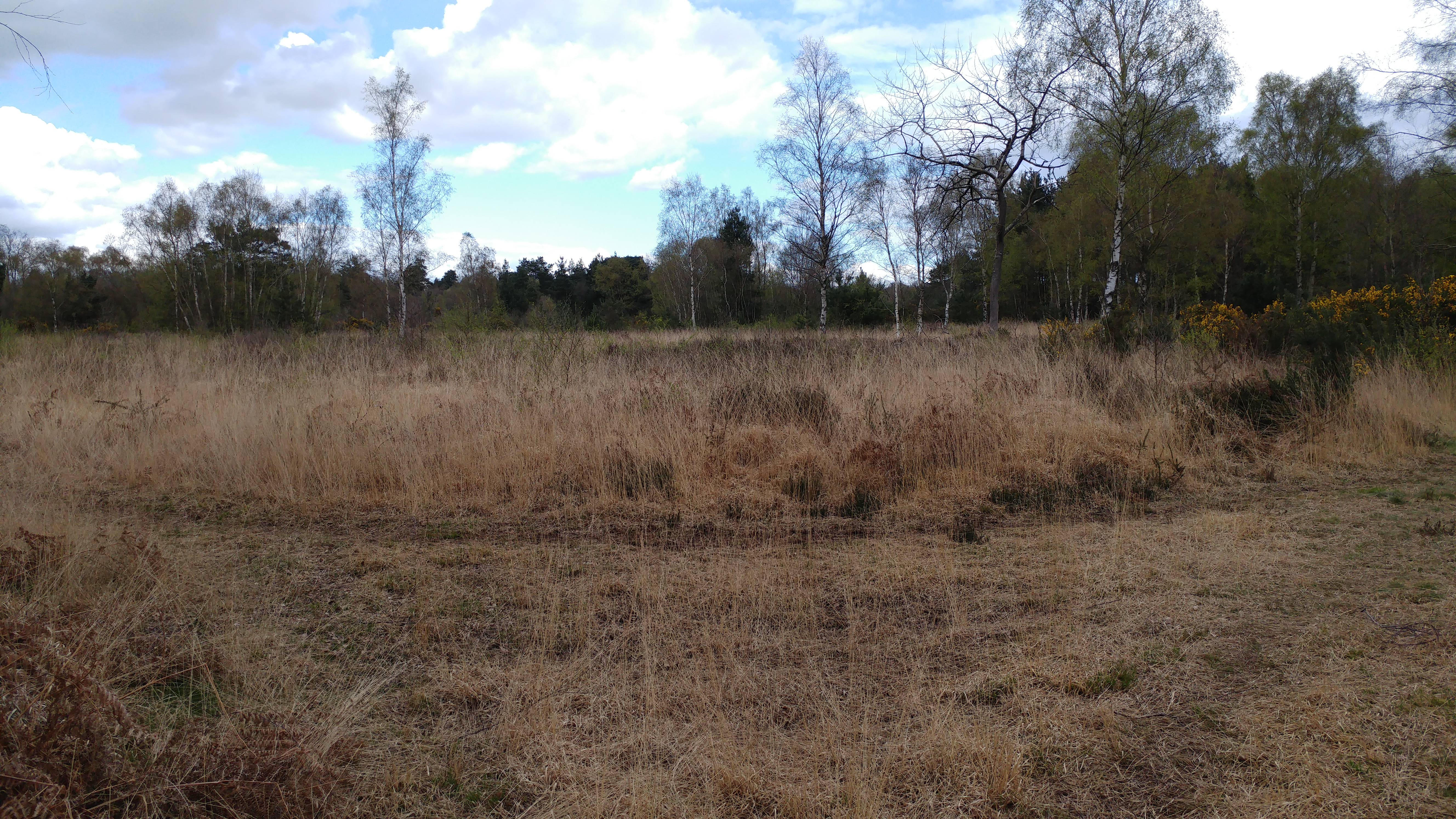
Barnground Copse
Wood, Forest in Berkshire
England
Barnground Copse

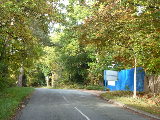
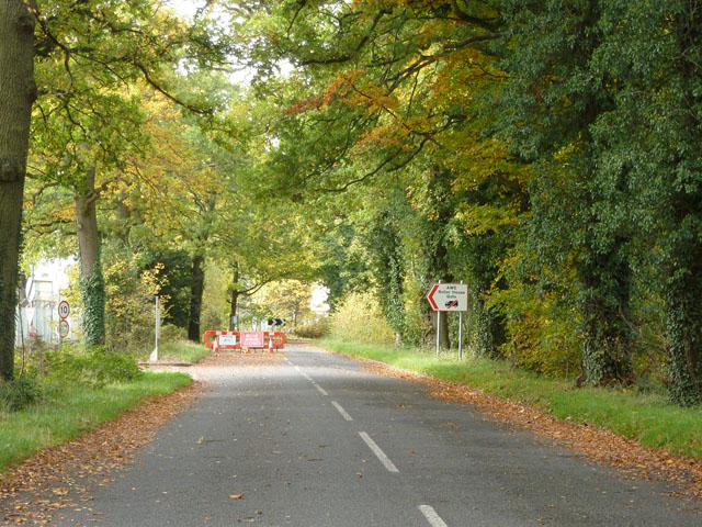
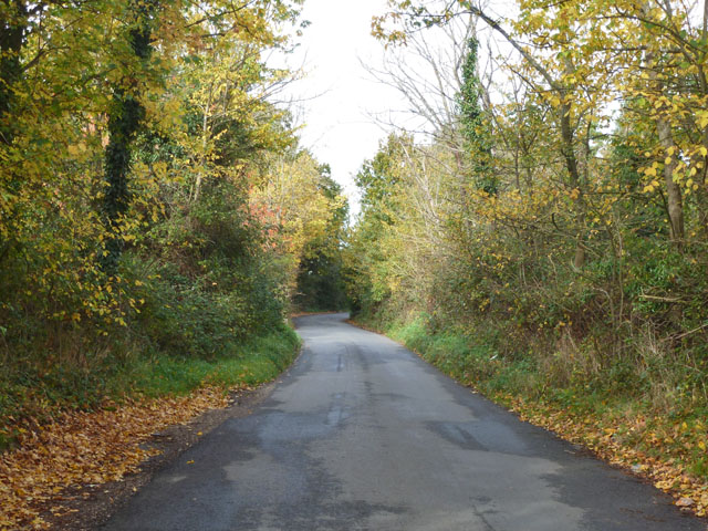
Barnground Copse is a picturesque woodland located in Berkshire, England. Situated in the heart of the county, it covers an area of approximately 100 acres and is known for its natural beauty and diverse wildlife.
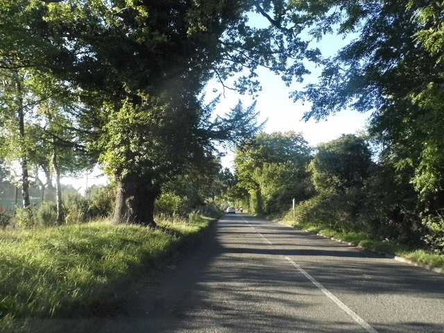
The copse is primarily composed of deciduous trees, including oak, beech, and birch, which create a dense canopy that provides shade and shelter to various species of birds, mammals, and insects. The forest floor is covered with a thick carpet of moss, ferns, and wildflowers, adding to the enchanting atmosphere of the woodland.
Walking through Barnground Copse, visitors can expect to encounter a wide range of wildlife. The copse is home to various bird species such as woodpeckers, owls, and songbirds, which can be heard singing their melodious tunes throughout the day. The forest also supports a healthy population of mammals, including deer, foxes, and squirrels, which can often be spotted darting among the trees.
In addition to its natural beauty, Barnground Copse offers several recreational activities for visitors to enjoy. There are well-maintained footpaths and trails that allow hikers and nature enthusiasts to explore the woodland at their leisure. The copse also offers excellent opportunities for birdwatching and photography, with many secluded spots providing peaceful settings to observe and capture the beauty of the forest.
Overall, Barnground Copse is a stunning woodland that offers a peaceful escape from the hustle and bustle of everyday life. With its diverse ecosystem and tranquil atmosphere, it is a haven for both nature lovers and those seeking a moment of serenity in the heart of Berkshire.
If you have any feedback on the listing, please let us know in the comments section below.
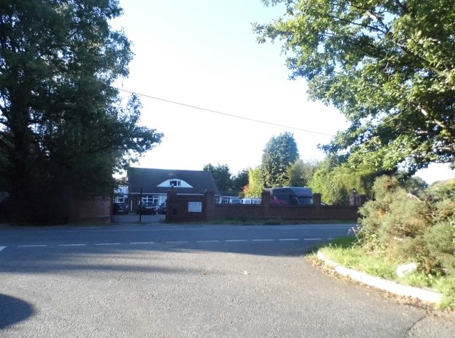
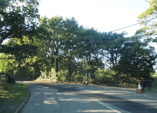
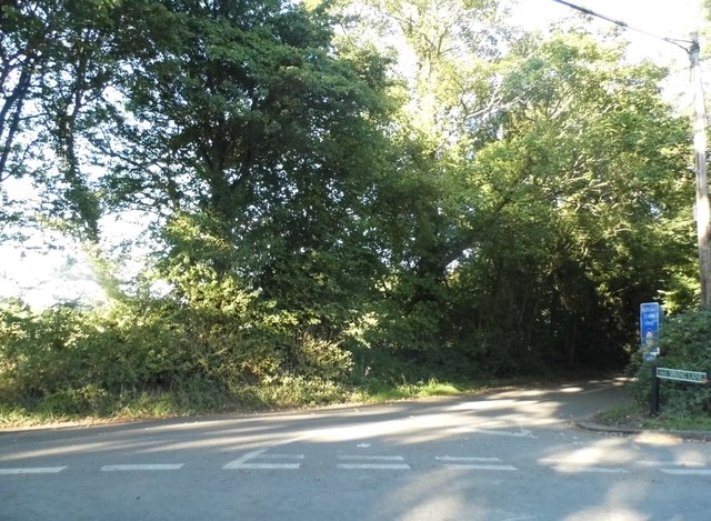
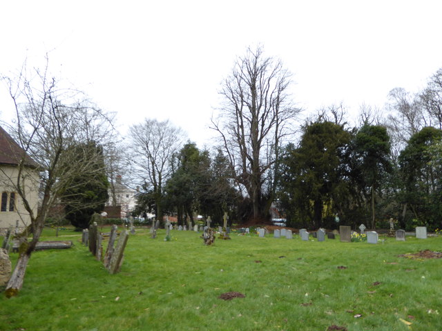
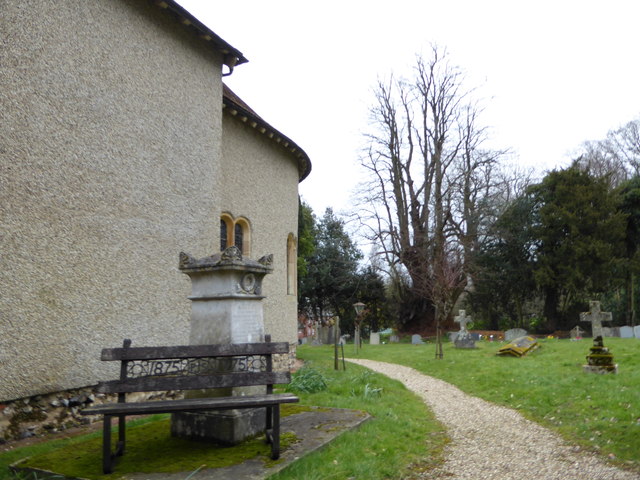
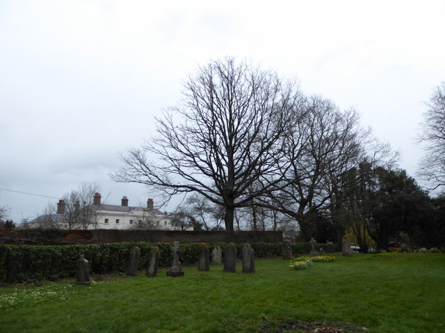
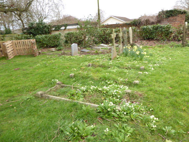
Barnground Copse Images
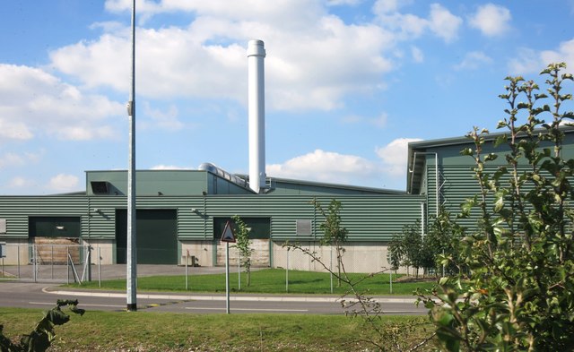
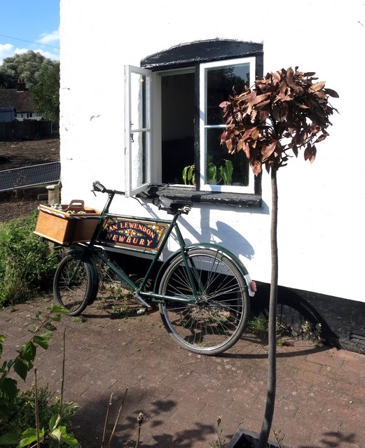
Images are sourced within 2km of 51.38399/-1.1271278 or Grid Reference SU6065. Thanks to Geograph Open Source API. All images are credited.

Barnground Copse is located at Grid Ref: SU6065 (Lat: 51.38399, Lng: -1.1271278)
Unitary Authority: West Berkshire
Police Authority: Thames Valley
What 3 Words
///awaited.desktops.replayed. Near Tadley, Hampshire
Nearby Locations
Related Wikis
Padworth College
Padworth College is a co-educational private senior school in Padworth, Berkshire. == External links == Official website Berkshire History: Padworth House
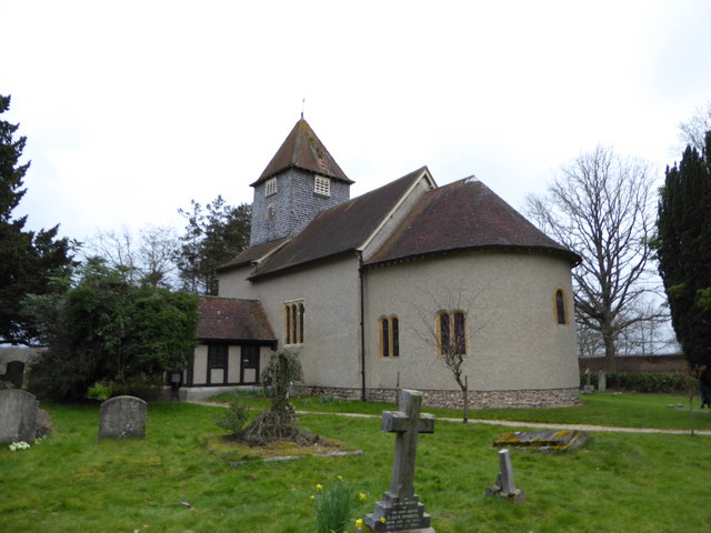
Church of St Mary the Virgin, Aldermaston
The Church of St Mary the Virgin, Aldermaston, is the Church of England parish church of Aldermaston in Berkshire. The church, which is dedicated to St...

Aldermaston Court
Aldermaston Court is a country house and private park built in the Victorian era for Daniel Higford Davall Burr with incorporations from a Stuart house...
Padworth Common
Padworth Common is a hamlet and common in the English county of Berkshire, within the civil parish of Padworth. It is bounded by Burghfield to the east...
Padworth Common Local Nature Reserve
Padworth Common Local Nature Reserve is a 28-hectare (69-acre) Local Nature Reserve on the edge of the hamlet of Padworth Common, between Reading and...

Padworth
Padworth is a dispersed settlement and civil parish in the English county of Berkshire, with the nearest town being Tadley. Padworth is in the unitary...

MERLIN reactor
MERLIN reactor was a 10MWt pool-type research reactor at Aldermaston Court, Aldermaston, Berkshire, England which operated from 6 November 1959 until 1962...
Aldermaston
Aldermaston is a village and civil parish in Berkshire, England. In the 2011 census, the parish had a population of 1,015. The village is in the Kennet...
Nearby Amenities
Located within 500m of 51.38399,-1.1271278Have you been to Barnground Copse?
Leave your review of Barnground Copse below (or comments, questions and feedback).