Broadwater Planting
Wood, Forest in Oxfordshire South Oxfordshire
England
Broadwater Planting

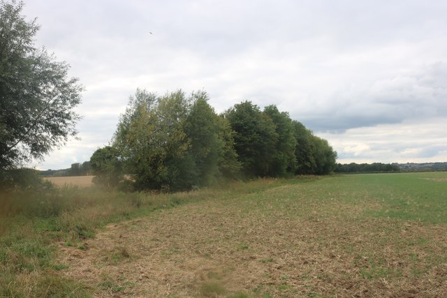
Broadwater Planting is a woodland located in Oxfordshire, England. It is an area of dense forest cover that spans approximately 500 acres. The woodland is situated in the heart of the Oxfordshire countryside, providing a tranquil and picturesque setting.
Broadwater Planting is characterized by a variety of tree species, including oak, beech, and ash. These trees form a dense canopy, creating a shaded and cool environment within the woodland. The forest floor is covered with a rich layer of leaf litter, providing a habitat for various small mammals, insects, and fungi.
The planting was established several centuries ago and has since been managed to maintain its natural beauty and biodiversity. It is a designated Site of Special Scientific Interest (SSSI) due to its ecological importance. The woodland is home to a diverse range of flora and fauna, including rare and protected species.
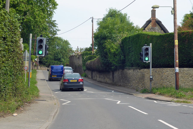
Visitors to Broadwater Planting can enjoy a network of well-maintained footpaths and trails that wind through the forest. These paths offer opportunities for walking, hiking, and nature observation. The woodland is a popular destination for nature enthusiasts, photographers, and picnickers.
Broadwater Planting is also an important habitat for wildlife. It provides shelter and food for various bird species, including woodpeckers, owls, and songbirds. Mammals such as deer, foxes, and badgers can also be spotted within the woodland.
Overall, Broadwater Planting in Oxfordshire is a beautiful and ecologically significant woodland that offers a peaceful retreat for nature lovers and a haven for a diverse range of plant and animal species.
If you have any feedback on the listing, please let us know in the comments section below.
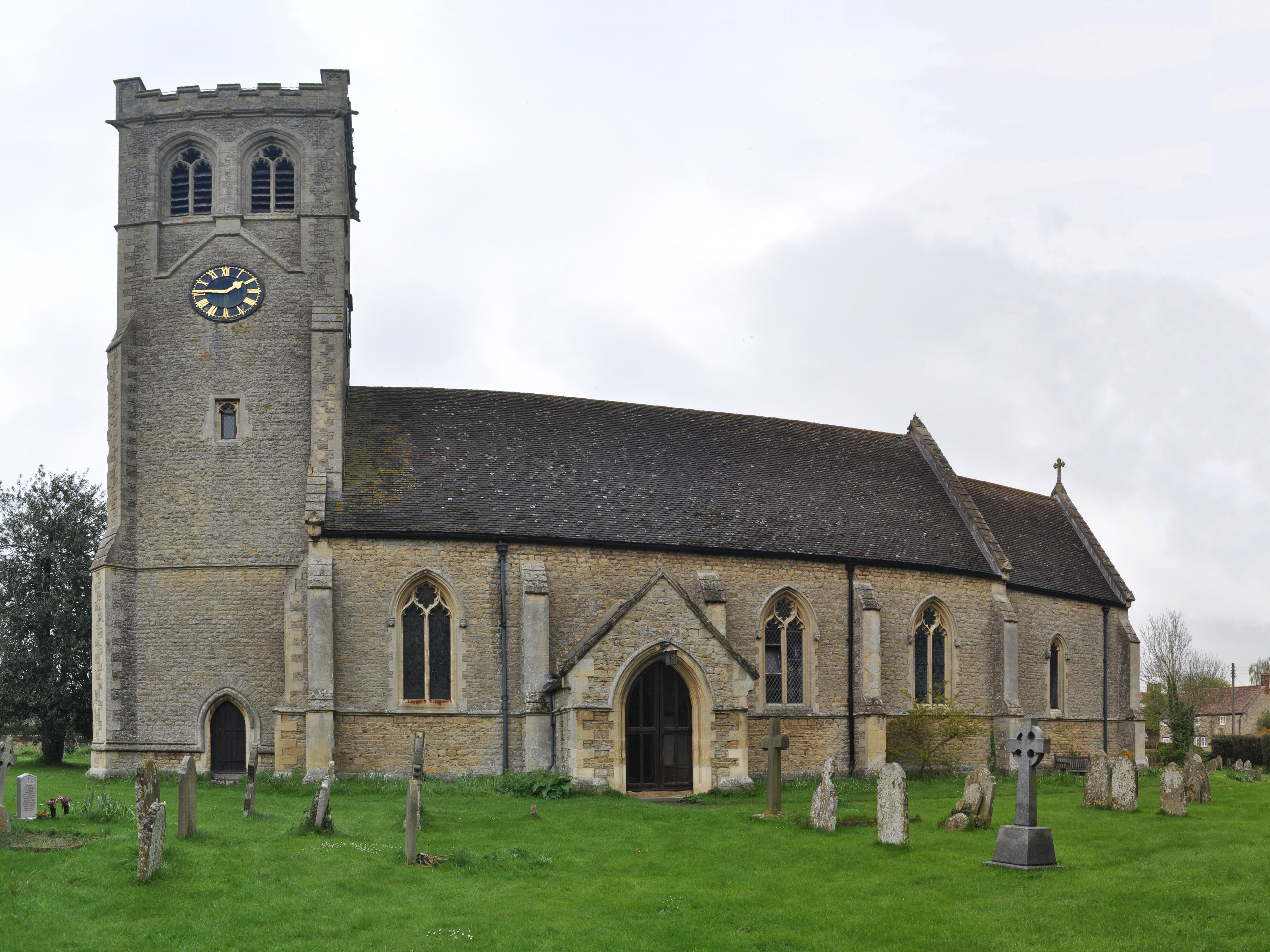
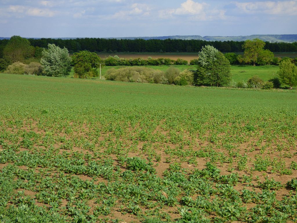
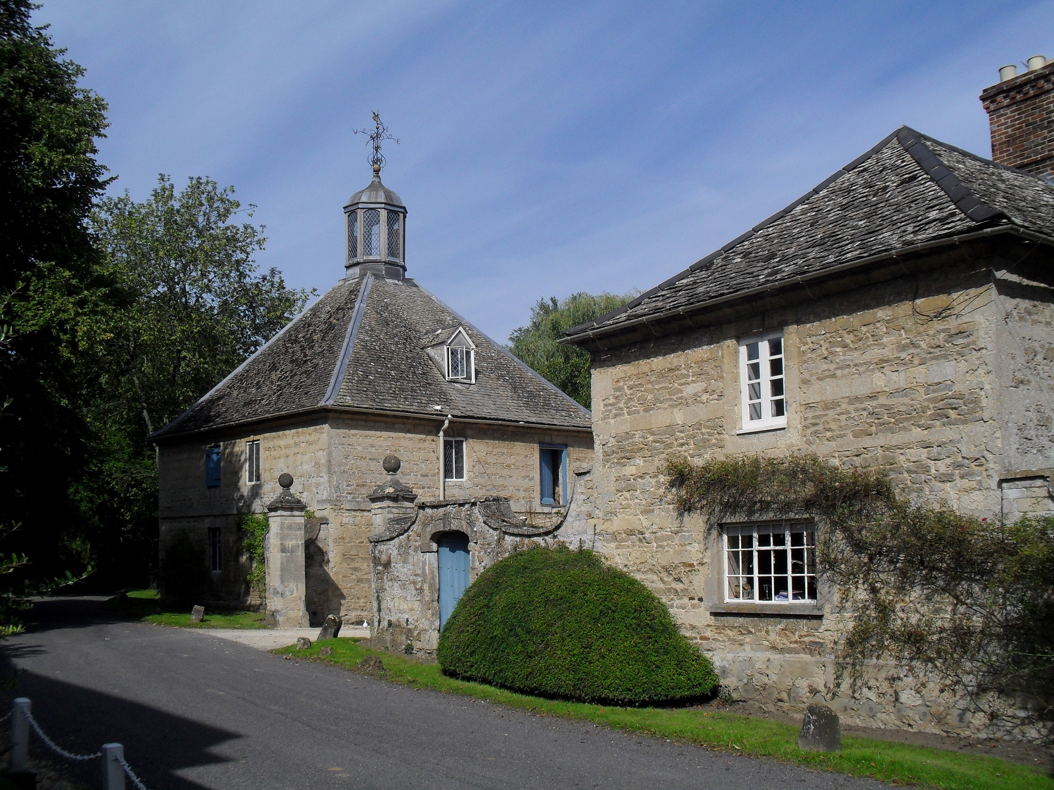
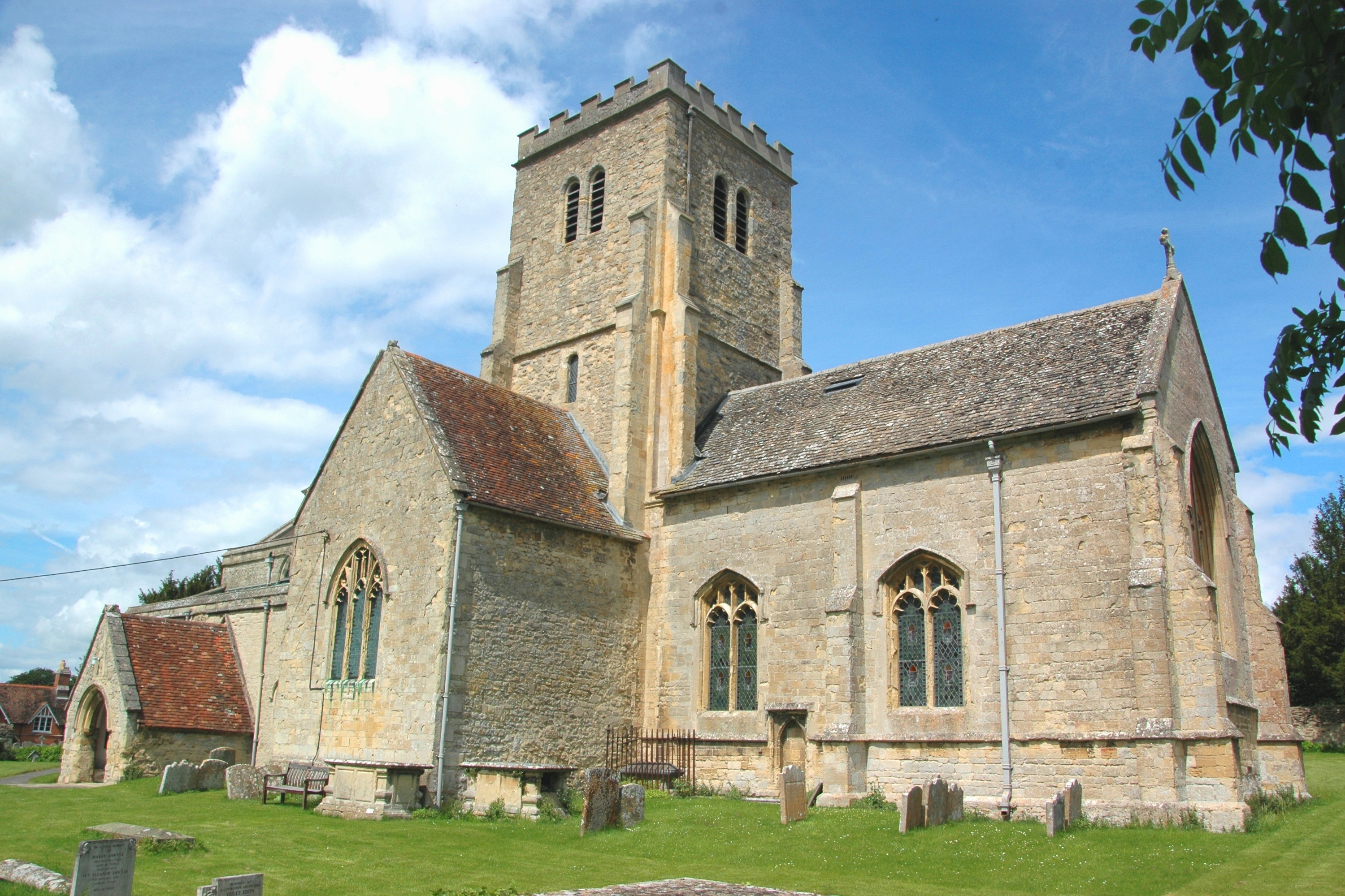
Broadwater Planting Images
Images are sourced within 2km of 51.707607/-1.120944 or Grid Reference SP6001. Thanks to Geograph Open Source API. All images are credited.


Broadwater Planting is located at Grid Ref: SP6001 (Lat: 51.707607, Lng: -1.120944)
Administrative County: Oxfordshire
District: South Oxfordshire
Police Authority: Thames Valley
What 3 Words
///rumble.situates.stealthier. Near Garsington, Oxfordshire
Nearby Locations
Related Wikis
Chippinghurst Manor
Chippinghurst Manor is a Grade II listed country house in Oxfordshire, England.The name of "Chippinghurst" manor means "the hill of Cibba" and appeared...

Cuddesdon and Denton
Cuddesdon and Denton is a civil parish in the county of Oxfordshire, England. Forming part of South Oxfordshire district its main settlements are Cuddesdon...
Little Milton, Oxfordshire
Little Milton is a village and civil parish in Oxfordshire, about 6 miles (10 km) southwest of Thame and 7 miles (11 km) southeast of Oxford. The parish...
Wells Farm
Wells Farm is a 64-hectare (160-acre) nature reserve on the eastern outskirts of Little Milton in Oxfordshire. It is managed by the Berkshire, Buckinghamshire...
Denton, Oxfordshire
Denton is a hamlet and former civil parish, now in the parish of Cuddesdon and Denton, in the South Oxfordshire district, in Oxfordshire, England. Denton...
Cuddesdon
Cuddesdon is a mainly rural village and former civil parish, now in the parish of Cuddesdon and Denton, in the South Oxfordshire district, in the county...
Cuddesdon Palace
Cuddesdon Palace was the episcopal palace for the Bishop of Oxford, located near the village of Cuddesdon, Oxfordshire, England. == History == Cuddesdon...

Bishop Edward King Chapel
Bishop Edward King Chapel is the chapel of Ripon College Cuddesdon, a Church of England theological college near Oxford, and of the Sisters of the Communities...
Nearby Amenities
Located within 500m of 51.707607,-1.120944Have you been to Broadwater Planting?
Leave your review of Broadwater Planting below (or comments, questions and feedback).