Dunston

Settlement in Staffordshire South Staffordshire

England

Dunston

Canal near Acton Trussell in Staffordshire This is the Staffordshire and Worcestershire Canal, looking north-north-east towards Acton Bridge (No 93), Stafford and Great Haywood.
Canal near Acton Trussell in Staffordshire Credit: Roger Kidd

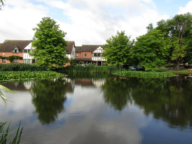
Dunston is a small village located in the county of Staffordshire, England. Situated approximately 4 miles east of the city of Stafford, it falls within the civil parish of Penkridge. The village is surrounded by picturesque countryside, with rolling hills and lush green fields adding to its charm.

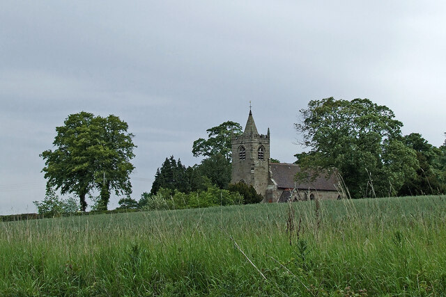
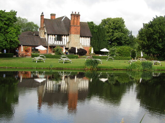
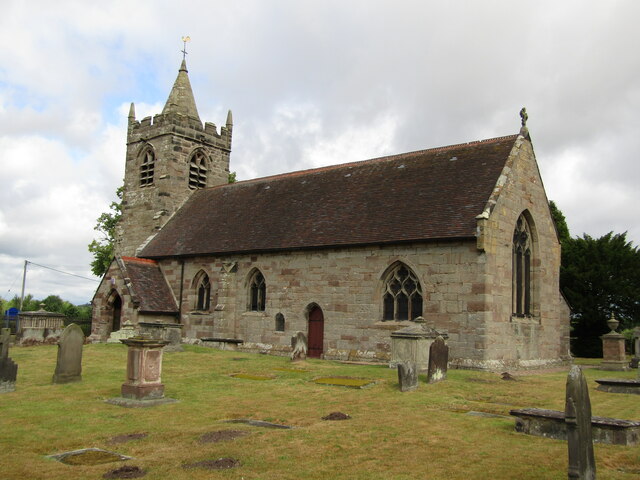
Dunston has a long history, with evidence of human settlement dating back to the Bronze Age. The village is home to several historic buildings, including the Grade II listed Dunston Hall, a Georgian mansion that now serves as a hotel and wedding venue. Other notable landmarks include St. Leonard's Church, a beautiful medieval church that has stood in the village for centuries.

Despite its rural setting, Dunston is well-connected to the nearby towns and cities. The A449 road runs through the village, providing easy access to Stafford, Wolverhampton, and other major towns in the region. Additionally, there are regular bus services that link Dunston to surrounding areas.

The village itself is relatively small, with a close-knit community. It offers some amenities, including a village hall, a primary school, and a local pub. The surrounding countryside provides ample opportunities for outdoor activities, such as hiking, cycling, and horse riding.

Overall, Dunston offers a tranquil and idyllic setting for those seeking a peaceful rural retreat, while still being within easy reach of urban amenities. Its rich history, natural beauty, and welcoming community make it an attractive place to live or visit in Staffordshire.

If you have any feedback on the listing, please let us know in the comments section below.
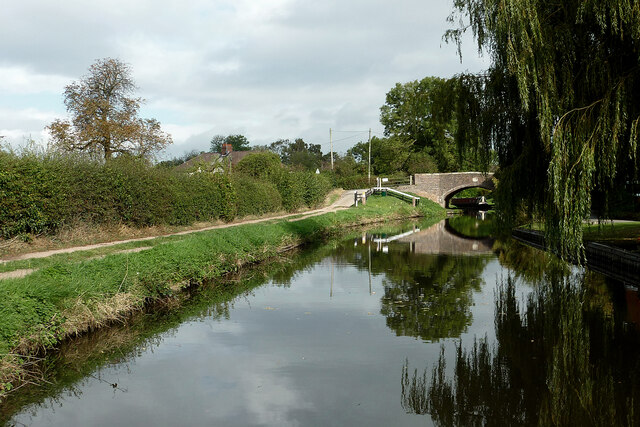
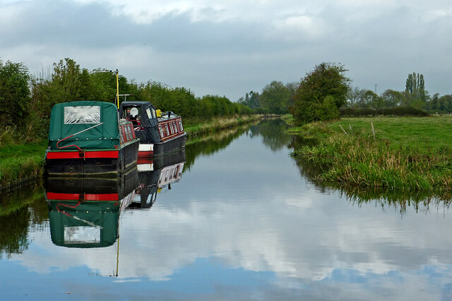
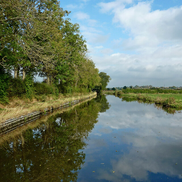
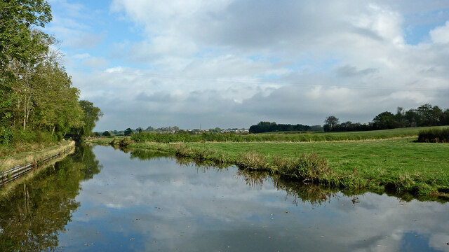
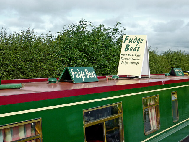
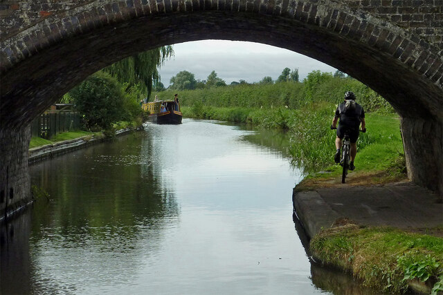
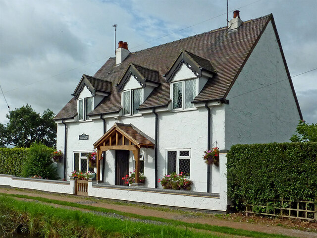
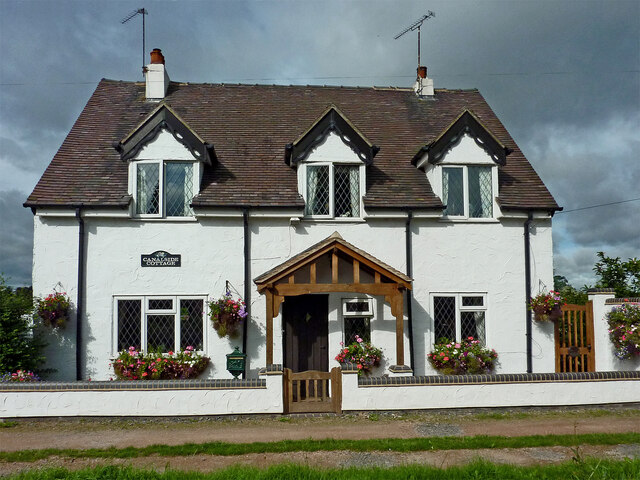
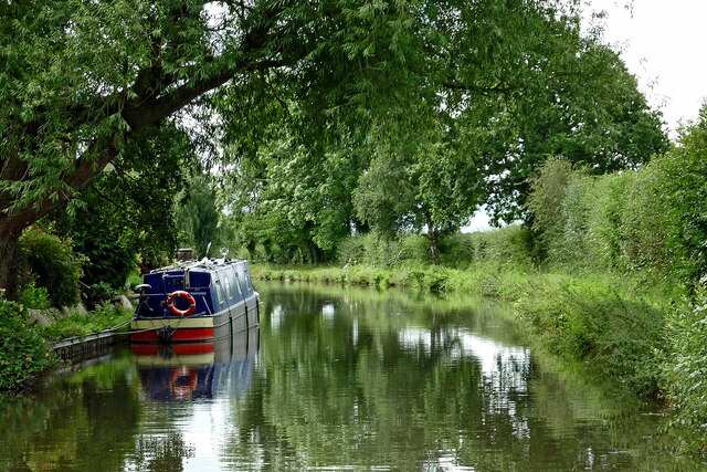
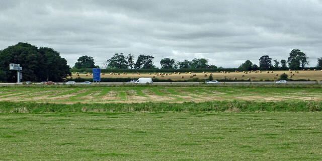
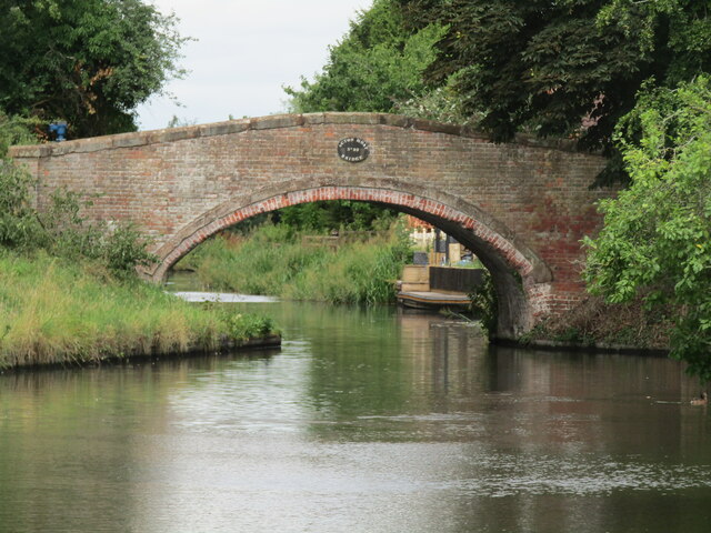
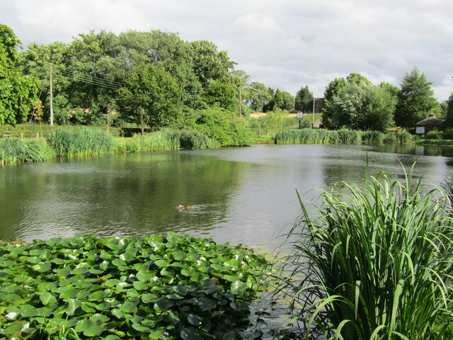
Dunston Images

Images are sourced within 2km of 52.758773/-2.1096251 or Grid Reference SJ9217. Thanks to Geograph Open Source API. All images are credited.

Canal near Acton Trussell in Staffordshire This is the Staffordshire and Worcestershire Canal, looking north-north-east towards Acton Bridge (No 93), Stafford and Great Haywood.
Canal near Acton Trussell in Staffordshire
This is the Staffordshire and Worcestershire Canal, looking north-north-east towards Acton Bridge (No 93), Stafford and Great Haywood.
Canal north of Acton Trussell in Staffordshire This is the Staffordshire and Worcestershire Canal, looking north towards  Stafford and Great Haywood.
Canal north of Acton Trussell in Staffordshire
This is the Staffordshire and Worcestershire Canal, looking north towards Stafford and Great Haywood.
Canal north of Acton Trussell in Staffordshire This is the Staffordshire and Worcestershire Canal, looking north towards Roseford Bridge, No 94.
Canal north of Acton Trussell in Staffordshire
This is the Staffordshire and Worcestershire Canal, looking north towards Roseford Bridge, No 94.
Canal and pasture north of Acton Trussell Staffordshire This is the Staffordshire and Worcestershire Canal, looking north towards Roseford Bridge, No 94.
Canal and pasture north of Acton Trussell Staffordshire
This is the Staffordshire and Worcestershire Canal, looking north towards Roseford Bridge, No 94.
Get your fudge here! The very smart boat was moored in a very rural place north of Acton Trussell in Staffordshire. A permit is required to trade from a narrowboat on the canals. I expect they do get occasional ales from passing craft. I have read that their best seller is the rhubarb and custard flavour.

Traders of all kinds of wares can be found at boat festivals and other popular canal venues.
Get your fudge here!
The very smart boat was moored in a very rural place north of Acton Trussell in Staffordshire. A permit is required to trade from a narrowboat on the canals. I expect they do get occasional ales from passing craft. I have read that their best seller is the rhubarb and custard flavour. Traders of all kinds of wares can be found at boat festivals and other popular canal venues.
Canal near Acton Trussell in Staffordshire Looking south-south-west towards Penkridge and Wolverhampton, this image shows the Staffordshire and Worcestershire Canal at Acton Bridge, No 93. The bridge carries Mill Lane.
Canal near Acton Trussell in Staffordshire
Looking south-south-west towards Penkridge and Wolverhampton, this image shows the Staffordshire and Worcestershire Canal at Acton Bridge, No 93. The bridge carries Mill Lane.
Canalside Cottage near Acton Trussell in Staffordshire By the Staffordshire and Worcestershire Canal.
There is no actual road access to the premises; just a strengthened towpath.
Canalside Cottage near Acton Trussell in Staffordshire
By the Staffordshire and Worcestershire Canal. There is no actual road access to the premises; just a strengthened towpath.
Canal near Acton Trussell in Staffordshire Looking south towards Penkridge, this is the Staffordshire and Worcestershire Canal near the southern part of Acton Trussell (off to the left). The large overhanging tree has been felled since the image was obtained.
Canal near Acton Trussell in Staffordshire
Looking south towards Penkridge, this is the Staffordshire and Worcestershire Canal near the southern part of Acton Trussell (off to the left). The large overhanging tree has been felled since the image was obtained.
Farmland and motorway near Acton Trussell, Staffordshire Looking west-south-west from the Staffordshire and Worcestershire Canal. Cockpit Plantation is on the left. The M6 motorway crosses the view, and just below it, the River Penk (hidden) meanders, flowing from left to right.
Farmland and motorway near Acton Trussell, Staffordshire
Looking west-south-west from the Staffordshire and Worcestershire Canal. Cockpit Plantation is on the left. The M6 motorway crosses the view, and just below it, the River Penk (hidden) meanders, flowing from left to right.
Across the fields to church No, it's not a route, just a view from the Staffordshire and Worcestershire Canal, looking north-east towards the Church of St James in Acton Trussell.
Across the fields to church
No, it's not a route, just a view from the Staffordshire and Worcestershire Canal, looking north-east towards the Church of St James in Acton Trussell.
Acton Trussell - The Moat House This upmarket hotel is centred on an historic manor house and still has parts of the moat around it.
<span class="nowrap"><a title="www.moathouse.co.uk" rel="nofollow ugc noopener" href="http://www.moathouse.co.uk">Link</a><img style="margin-left:2px;" alt="External link" title="External link - shift click to open in new window" src="https://s1.geograph.org.uk/img/external.png" width="10" height="10"/></span>
Acton Trussell - The Moat House
This upmarket hotel is centred on an historic manor house and still has parts of the moat around it. LinkExternal link
Acton Trussell - Parish Church St James Church dates from ca 1300 and lies south of the village Acton Trussell. Note the dinky spire on the low tower.
Acton Trussell - Parish Church
St James Church dates from ca 1300 and lies south of the village Acton Trussell. Note the dinky spire on the low tower.
South Staffordshire - Historic Churches Trail Small waymarker outside medieval St James Church in Acton Trussell. Despite the plaque the church is not always open to visitors.
South Staffordshire - Historic Churches Trail
Small waymarker outside medieval St James Church in Acton Trussell. Despite the plaque the church is not always open to visitors.
Acton Trussell Narrowboat on the Staffordshire and Worcestershire Canal passing The Moat House.
Acton Trussell
Narrowboat on the Staffordshire and Worcestershire Canal passing The Moat House.
Acton Moat Bridge Red brick bridge spanning the Staffordshire and Worcestershire Canal immediately north of The Moat House at Acton Trussell.
Acton Moat Bridge
Red brick bridge spanning the Staffordshire and Worcestershire Canal immediately north of The Moat House at Acton Trussell.
Acton Trussel - Moat One of the remaining sections of moat surrounding The Moat House, now an upmarket hotel.
<span class="nowrap"><a title="www.moathouse.co.uk" rel="nofollow ugc noopener" href="http://www.moathouse.co.uk">Link</a><img style="margin-left:2px;" alt="External link" title="External link - shift click to open in new window" src="https://s1.geograph.org.uk/img/external.png" width="10" height="10"/></span>
Acton Trussel - Moat
One of the remaining sections of moat surrounding The Moat House, now an upmarket hotel. LinkExternal link
Show me another place!

Dunston is located at Grid Ref: SJ9217 (Lat: 52.758773, Lng: -2.1096251)

Administrative County: Staffordshire

District: South Staffordshire

Police Authority: Staffordshire

What 3 Words

///spite.when.fresh. Near Penkridge, Staffordshire

Nearby Locations

Dunston

Related Wikis

Dunston, Staffordshire

Dunston is a small village in England lying on the west side of the A449 trunk road about 3 miles (4.8 km) south of Stafford, close to Junction 13 of the...

Acton Trussell

Acton Trussell is a village in the English county of Staffordshire. It is known as Actone in the Domesday Book. Located around 4 miles southeast of Stafford...

Acton Trussell and Bednall

Acton Trussell and Bednall is a civil parish in the South Staffordshire district of Staffordshire, England. As the name indicates, it contains the two...

Coppenhall

Coppenhall is a small settlement in Staffordshire, England. Coppenhall lies 2 kilometres (1 mi) southwest of Stafford and 4 miles (6.4 km) NNW of Penkridge...

St Lawrence's Church, Coppenhall

St Lawrence's Church, Coppenhall is a Grade II* listed parish church in the Church of England in Coppenhall, Staffordshire. == History == The small ancient...

Hyde Lea

Hyde Lea is a village and parish in Staffordshire, England, just west of Stafford itself. Hyde Lea borders the southern boundary of Castle Church parish...

Radford Meadows

Radford Meadows is a nature reserve of the Staffordshire Wildlife Trust, on the southern edge of Stafford, in Staffordshire, England. The reserve is a...

Bednall

Bednall is a village in Staffordshire, England. == Location == Bednall lies somewhat remote from main roads, in dairy-farming countryside some 2.5 miles...

Nearby Amenities

Located within 500m of 52.758773,-2.1096251
Motorway Junction
Dunston Interchange
Alt Name: Dunston
Ref: 13
Lat/Long: 52.760243/-2.103989
Traffic Calming: island
Lat/Long: 52.7552123/-2.1071226
Bus Stop
School Lane
Bus: yes
Naptan AtcoCode: 3800C601900
Naptan Bearing: N
Naptan CommonName: School Lane
Naptan Indicator: Adj
Naptan Landmark: School Lane
Naptan Street: Stafford Rd
Naptan Verified: no
Public Transport: platform
Source: naptan_import
Lat/Long: 52.7596649/-2.1087689
Bus Stop
School Lane
Bus: yes
Naptan AtcoCode: 3800C601901
Naptan Bearing: S
Naptan CommonName: School Lane
Naptan Indicator: Opp
Naptan Landmark: School Lane
Naptan Street: Stafford Rd
Naptan Verified: no
Public Transport: platform
Source: naptan_import
Lat/Long: 52.7595304/-2.1084426
Bus Stop
Dunston Hall
Bus: yes
Naptan AtcoCode: 3800C638601
Naptan Bearing: N
Naptan BusStopType: CUS
Naptan CommonName: Dunston Hall
Naptan Indicator: Adj
Naptan Landmark: Dunston Hall
Naptan Street: Stafford Rd
Naptan Verified: no
Public Transport: platform
Source: naptan_import
Lat/Long: 52.7558725/-2.1073518
Bus Stop
Dunston Hall
Bus: yes
Naptan AtcoCode: 3800C638602
Naptan Bearing: S
Naptan CommonName: Dunston Hall
Naptan Indicator: Opp
Naptan Landmark: Dunston Hall
Naptan Street: Stafford Rd
Naptan Verified: no
Public Transport: platform
Source: naptan_import
Lat/Long: 52.7549019/-2.1070531
Traffic Calming: island
Lat/Long: 52.7556627/-2.1071811
Barrier: lych_gate
Lat/Long: 52.7575585/-2.1082066
Waste Basket
Vending: excrement_bags
Waste: dog_excrement
Lat/Long: 52.7580489/-2.109302
Telephone
Booth: K6
Covered: booth
Man Made: telephone_box
Old Phone: +44 1785 712179
Tourism: information
Lat/Long: 52.7584183/-2.1095129
Traffic Calming: island
Lat/Long: 52.7587676/-2.1083485
Post Box
Post Box Type: lamp
Ref: ST18 185
Royal Cypher: EIIR
Royal Cypher Wikidata: Q33102113
Lat/Long: 52.7587573/-2.110006
Traffic Calming: island
Lat/Long: 52.7596558/-2.1085515
Barrier: stile
Lat/Long: 52.7561005/-2.115241
Barrier: stile
Lat/Long: 52.7559494/-2.10713
Barrier: stile
Lat/Long: 52.7561704/-2.1138315
Barrier: stile
Lat/Long: 52.7573364/-2.109221
Barrier: stile
Lat/Long: 52.7562102/-2.1141402
Man Made: surveillance
Source: survey
Lat/Long: 52.7588665/-2.1024591
Dunston
Place: hamlet
Source: NLS - OS 1:25k 1st Series 1937-61
Wikidata: Q5315742
Wikipedia: en:Dunston, Staffordshire
Lat/Long: 52.7585181/-2.1088877
Power: pole
Lat/Long: 52.7609387/-2.1155568
Defibrillator
Defibrillator Location: outside Dunston Village Hall
Emergency: defibrillator
Indoor: no
Lat/Long: 52.7588411/-2.1099342
Entrance: main
Lat/Long: 52.7588533/-2.1098239
The data included in this document is from www.openstreetmap.org. The data is made available under ODbL.

Have you been to Dunston?

Leave your review of Dunston below (or comments, questions and feedback).