Barnsley Copse
Wood, Forest in Hampshire
England
Barnsley Copse

Barnsley Copse is a picturesque woodland area located in Hampshire, England. Spanning approximately 100 acres, it is a popular destination for nature enthusiasts, hikers, and families seeking a tranquil retreat.
The copse is characterized by its dense and diverse vegetation, comprising a mix of broadleaf trees such as oak, beech, and birch. These towering trees provide a lush canopy, creating a shaded and cool environment even during the summer months. The forest floor is carpeted with a variety of wildflowers, ferns, and mosses, adding to the copse's natural beauty.
Home to a rich array of wildlife, Barnsley Copse offers a unique opportunity for visitors to observe and appreciate nature up close. Numerous bird species can be spotted here, including woodpeckers, owls, and various songbirds. Squirrels and rabbits are also common sights, scurrying through the undergrowth.
Several well-maintained footpaths and trails traverse the copse, allowing visitors to explore its many wonders. These paths lead to hidden clearings, serene ponds, and babbling brooks, enhancing the overall charm and tranquility of the area. Additionally, there are designated picnic areas and benches scattered throughout the copse, providing opportunities for visitors to relax and soak in the natural surroundings.
Barnsley Copse is easily accessible, with a nearby car park and public transportation options available. The copse is open year-round, offering different seasonal experiences, from the vibrant colors of autumn to the delicate blooms of spring. Whether for a leisurely stroll, a family outing, or a nature photography expedition, Barnsley Copse is a must-visit destination for anyone seeking solace and connection with the natural world.
If you have any feedback on the listing, please let us know in the comments section below.
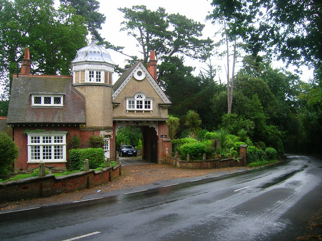
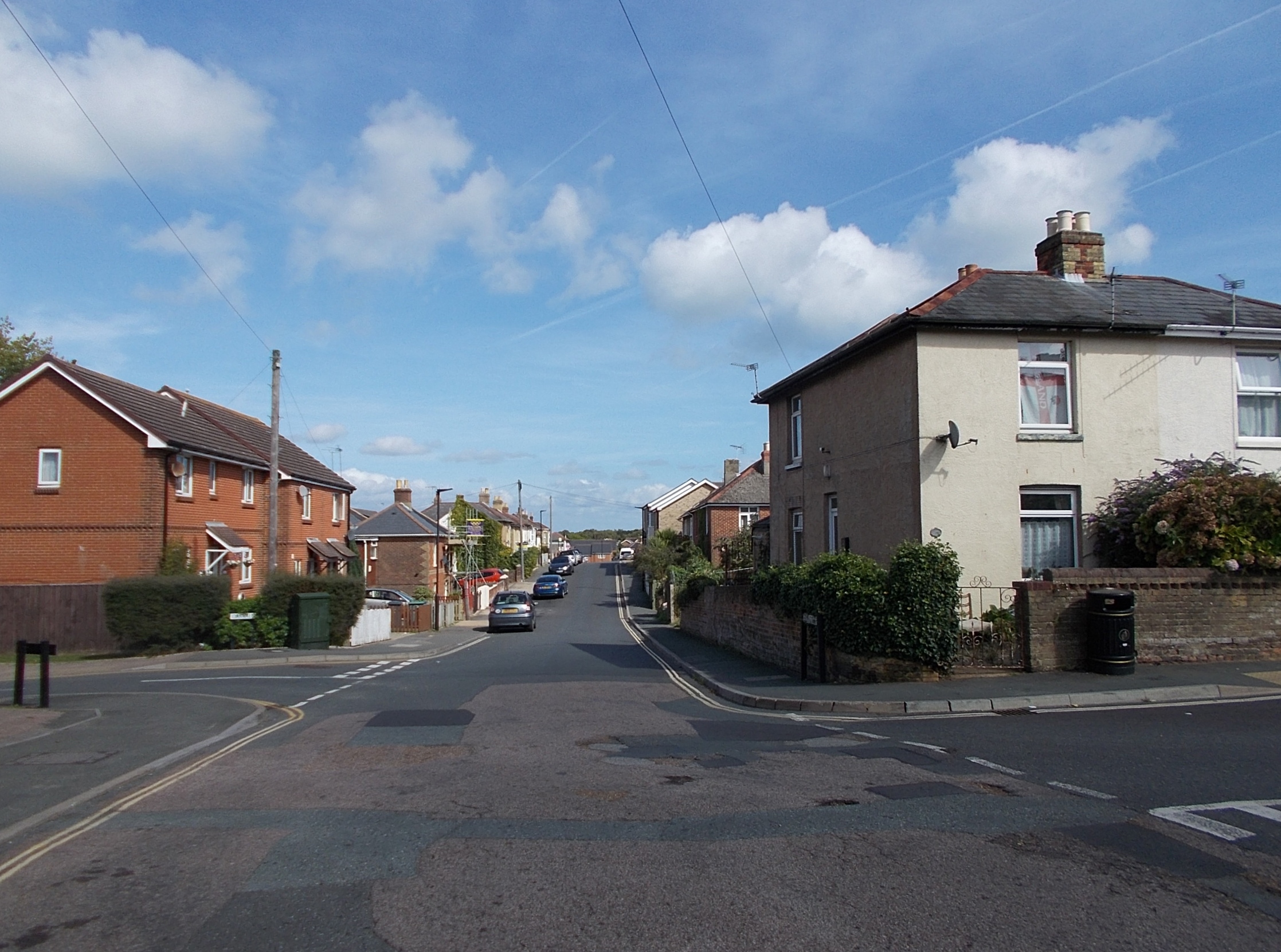
Barnsley Copse Images
Images are sourced within 2km of 50.706418/-1.1422166 or Grid Reference SZ6089. Thanks to Geograph Open Source API. All images are credited.


Barnsley Copse is located at Grid Ref: SZ6089 (Lat: 50.706418, Lng: -1.1422166)
Unitary Authority: Isle of Wight
Police Authority: Hampshire
What 3 Words
///mass.raves.brownish. Near St Helens, Isle of Wight
Nearby Locations
Related Wikis

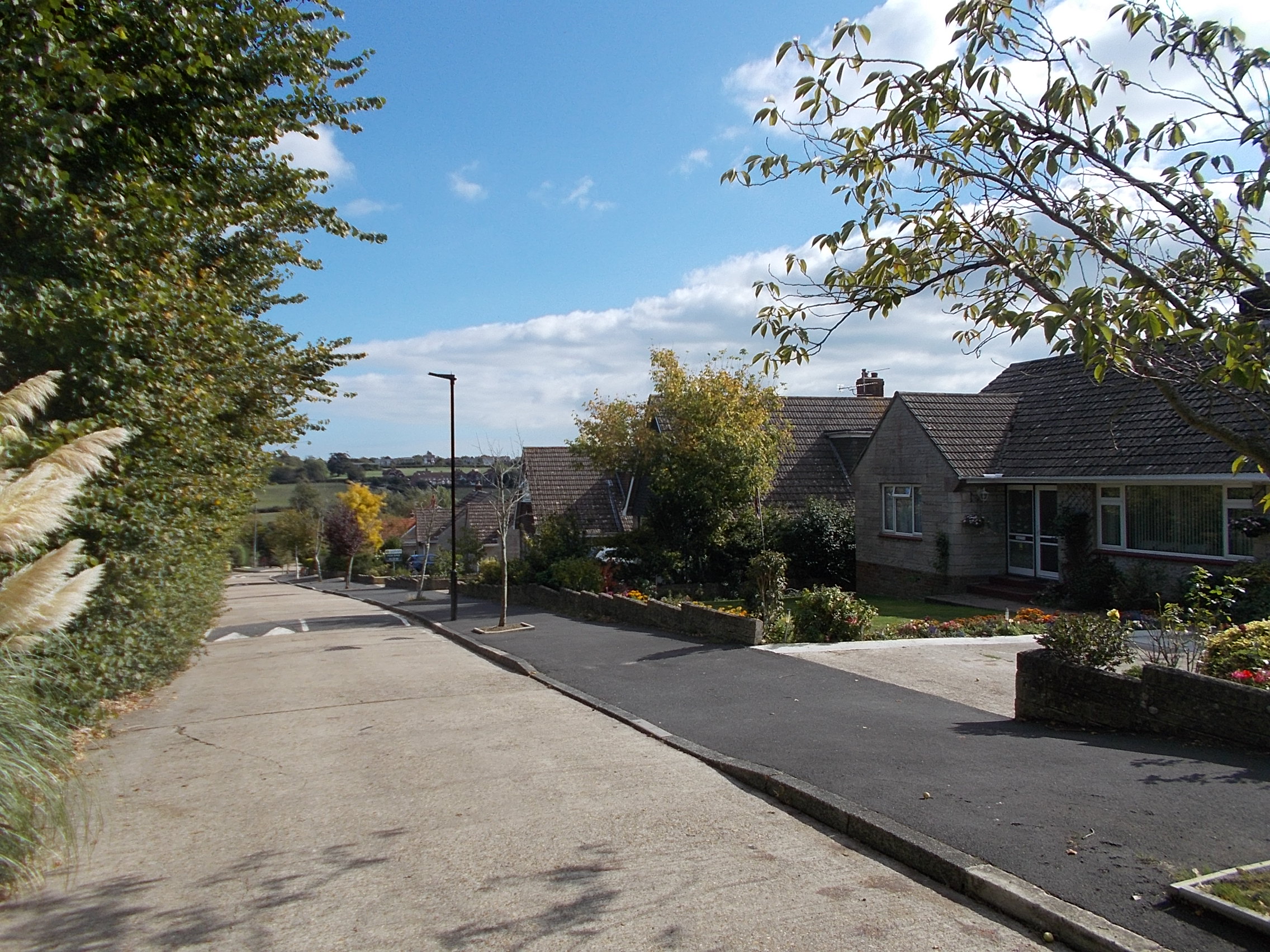
Westridge, Isle of Wight
Westridge is an area on the edge of Ryde on the Isle of Wight, based on the road junction of Westridge Cross. Its location on the outskirts of the largest...

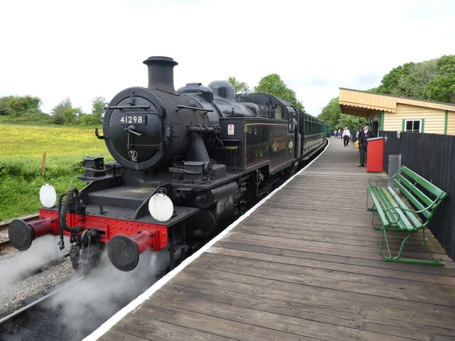
Smallbrook Junction railway station
Smallbrook Junction railway station is a railway station on the Isle of Wight, England. It is unusual because it has no public access but exists purely...
Hill Farmhouse
Hill Farmhouse (also Writtleston House) is an English country house in Brading, Isle of Wight. The 17th century farmhouse, a Grade II listed building,...
Pondwell
Pondwell is an area between Nettlestone and Ryde on the Isle of Wight, off the southern coast of England. According to the Post Office the population for...
Elmfield
Elmfield is a suburb of the town of Ryde on the Isle of Wight, in England. It is situated south-east of the town centre on a small hill. St John's Church...
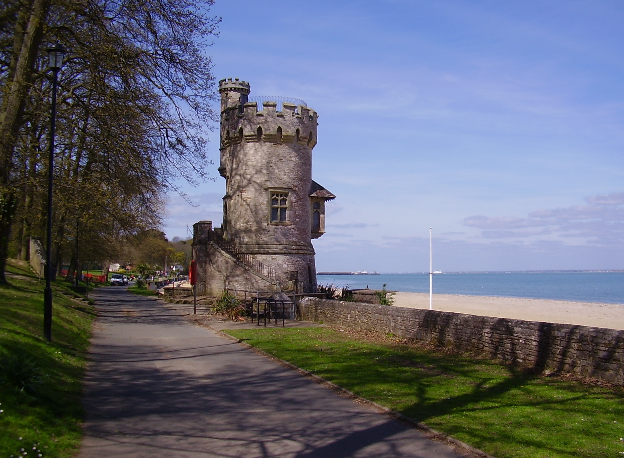
Appley, Isle of Wight
Appley is an area of Ryde on the Isle of Wight. Until the early 1960s, it was largely based on the former English country house of Appley Towers (seat...
Woodlands Vale
Woodlands Vale is a Victorian era house in Seaview on the Isle of Wight. It is a Grade II* listed building. == History == The Woodlands Vale estate was...
Oakfield, Isle of Wight
Oakfield is a suburb of the town of Ryde on the Isle of Wight, England. Historically part of the St Helens parish, it was absorbed into Ryde Borough in...
Nearby Amenities
Located within 500m of 50.706418,-1.1422166Have you been to Barnsley Copse?
Leave your review of Barnsley Copse below (or comments, questions and feedback).