Waterperry Wood

Wood, Forest in Oxfordshire South Oxfordshire

England

Waterperry Wood

Menmarsh Road on a frosty morning Just for a while the rather straight road wiggles a bit.
Menmarsh Road on a frosty morning Credit: Robin Webster

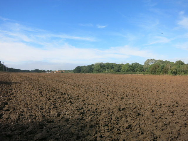
Waterperry Wood is a picturesque woodland located in Oxfordshire, England. Covering an area of approximately 25 hectares, it is situated in the heart of the Oxfordshire countryside, just a few miles northeast of the village of Waterperry.

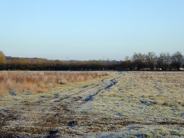
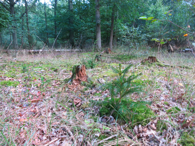
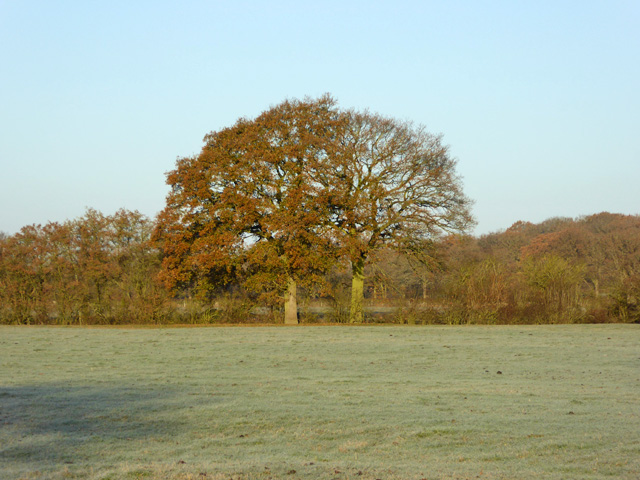
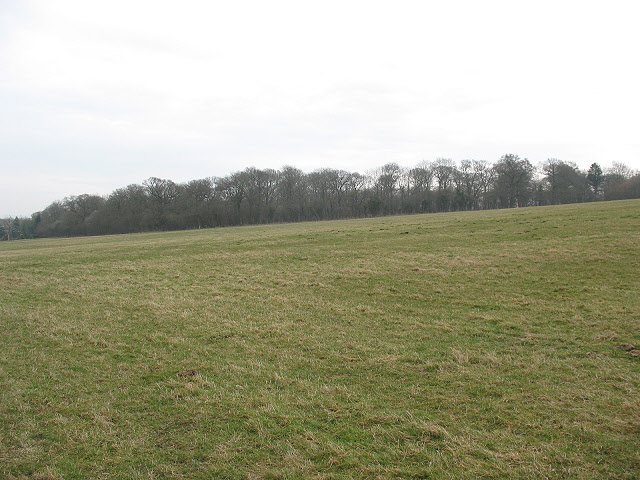
This ancient woodland is known for its diverse flora and fauna, making it a haven for nature enthusiasts. The dominant tree species include oak, ash, and beech, which create a dense canopy, providing shade and shelter for a variety of woodland creatures. Bluebells carpet the forest floor in the spring, creating a stunning display of color and attracting visitors from far and wide.

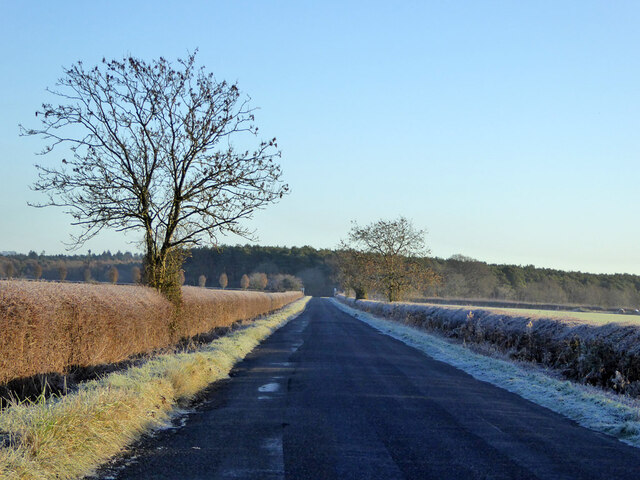
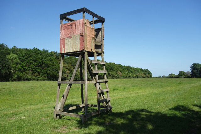
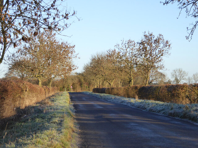
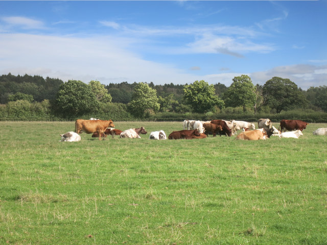
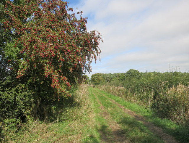
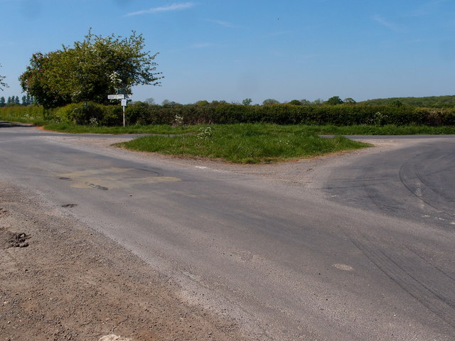
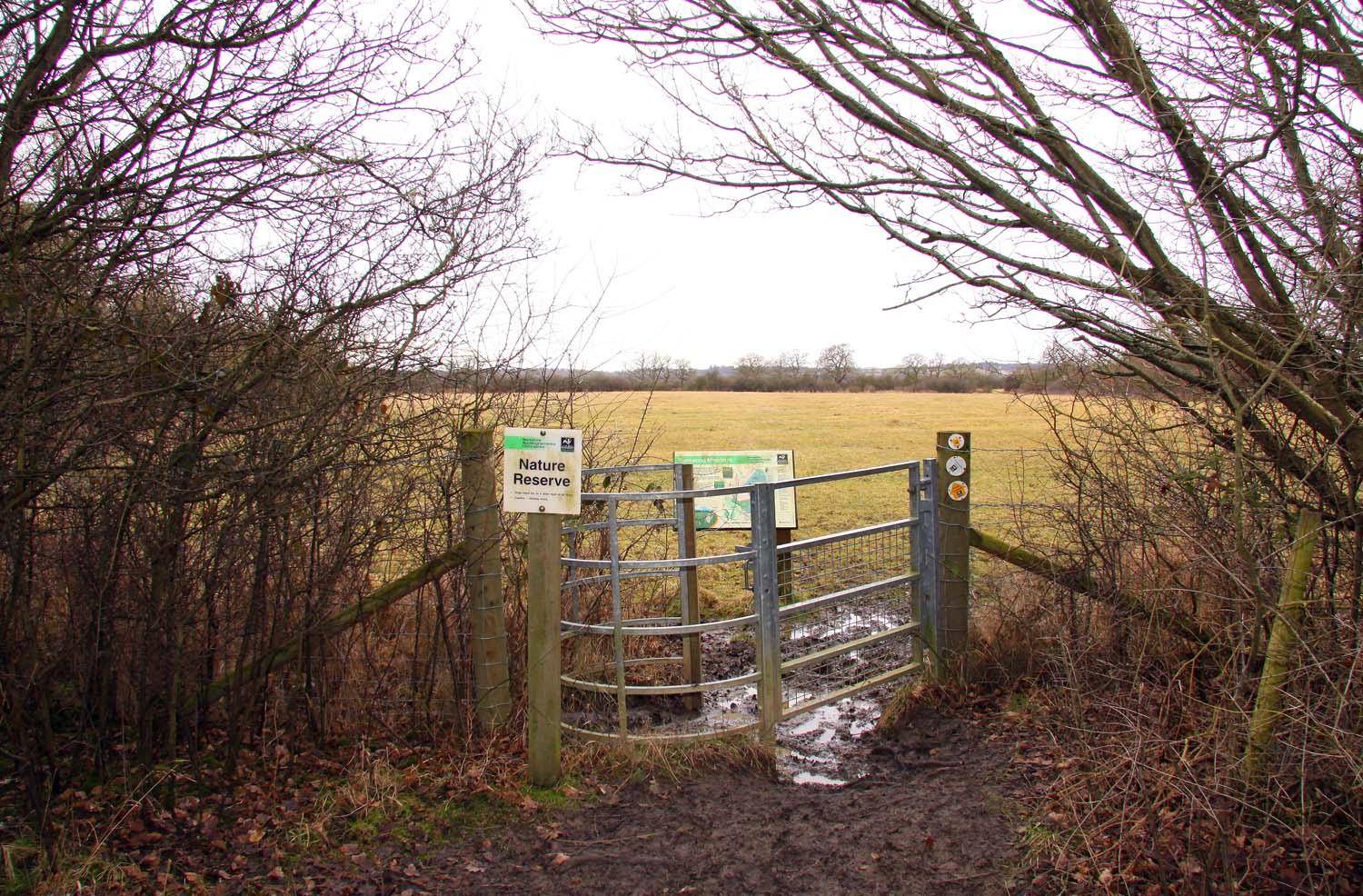
Waterperry Wood is crisscrossed by a network of well-maintained walking trails, allowing visitors to explore its beauty at their leisure. The trails wind through the woodland, passing by tranquil ponds and meandering streams, adding to the overall serenity of the area. The wood is also home to a rich array of wildlife, including deer, foxes, badgers, and a wide variety of bird species.

In addition to its natural beauty, Waterperry Wood also has historical significance. It is believed to have been part of the ancient Wychwood Forest, which was mentioned in the Domesday Book of 1086. The wood has remained relatively untouched over the centuries, preserving its natural charm and providing a glimpse into the region's past.

Overall, Waterperry Wood offers a peaceful retreat from the hustle and bustle of modern life. Whether it is for a leisurely stroll, birdwatching, or simply to enjoy the tranquility of nature, this woodland is a must-visit destination for both locals and visitors alike.

If you have any feedback on the listing, please let us know in the comments section below.

Waterperry Wood Images

Images are sourced within 2km of 51.777203/-1.1249847 or Grid Reference SP6009. Thanks to Geograph Open Source API. All images are credited.

Menmarsh Road on a frosty morning Just for a while the rather straight road wiggles a bit.
Menmarsh Road on a frosty morning
Just for a while the rather straight road wiggles a bit.
Footpath across a frosty field The path reference is Stanton St John 363/5/10.
Footpath across a frosty field
The path reference is Stanton St John 363/5/10.
Private No public right of way And to remove any perceived loophole - 'Private please keep out'.
Private No public right of way
And to remove any perceived loophole - 'Private please keep out'.
Menmarsh Road Towards Worminghall or Boarstall.
Menmarsh Road
Towards Worminghall or Boarstall.
Tank by the Oxfordshire Way The Oxfordshire Way is a well defined grassy farm track along here.
The tank looks in fairly good condition so it's hard to tell if it's in use or not. It's beside a small stream so maybe there's a pump to fill it for use in nearby fields where there are cows grazing.
Tank by the Oxfordshire Way
The Oxfordshire Way is a well defined grassy farm track along here. The tank looks in fairly good condition so it's hard to tell if it's in use or not. It's beside a small stream so maybe there's a pump to fill it for use in nearby fields where there are cows grazing.
Falling Apart Round The Edges Another of the wooden towers which are all along the Oxfordshire Way around the edge of Bernwood Forest. They are in various states of repair, with this one looking especially dodgy.
The bit in the distance where the forest curves off to the left is called Drunkard's Corner.
Falling Apart Round The Edges
Another of the wooden towers which are all along the Oxfordshire Way around the edge of Bernwood Forest. They are in various states of repair, with this one looking especially dodgy. The bit in the distance where the forest curves off to the left is called Drunkard's Corner.
Road towards Boarstall
The M40 heading southbound
Worn out sign at Joshua Farm This poor old name board at the entrance to Joshua Farm has definitely seen better days.
Worn out sign at Joshua Farm
This poor old name board at the entrance to Joshua Farm has definitely seen better days.
Field at Joshua Farm
Dead in Hell Coppice I wonder why this is called Hell Coppice. It seems quite a tranquil sort of place.
Dead in Hell Coppice
I wonder why this is called Hell Coppice. It seems quite a tranquil sort of place.
Old Trees, New Trees New seedlings growing up amongst the stumps of their felled predecessors.
A clearing in Hell Coppice.
Old Trees, New Trees
New seedlings growing up amongst the stumps of their felled predecessors. A clearing in Hell Coppice.
Track in Hell Coppice Little used and a bit boggy, but open to wander along should you want to.
Track in Hell Coppice
Little used and a bit boggy, but open to wander along should you want to.
Cows on the edge of Bernwood Forest
Oxfordshire Way near Menmarsh Guide Post I'm not sure why the OS marks Menmarsh Guide Post so prominently on the map.
It's just a signpost, and there's no marsh.
I did meet the local farmer up at the end here, so there were some men, but not for long.
Oxfordshire Way near Menmarsh Guide Post
I'm not sure why the OS marks Menmarsh Guide Post so prominently on the map. It's just a signpost, and there's no marsh. I did meet the local farmer up at the end here, so there were some men, but not for long.
Hedgerow oaks The hedge is along Danes Brook.
Hedgerow oaks
The hedge is along Danes Brook.
Road junction and grass triangle A minor road junction for three roads, a farm track and a bridleway.
Road junction and grass triangle
A minor road junction for three roads, a farm track and a bridleway.
Footbridge over M40 The M40 Motorway runs 89 miles between London and Birmingham. Built in several stages between 1967 and 1990, it provides an alternative route to the M1/M6 route between the two cities.
Footbridge over M40
The M40 Motorway runs 89 miles between London and Birmingham. Built in several stages between 1967 and 1990, it provides an alternative route to the M1/M6 route between the two cities.
Show me another place!

Waterperry Wood is located at Grid Ref: SP6009 (Lat: 51.777203, Lng: -1.1249847)

Administrative County: Oxfordshire

District: South Oxfordshire

Police Authority: Thames Valley

What 3 Words

///remains.cushy.firepower. Near Wheatley, Oxfordshire

Related Wikis

Waterperry Wood

Waterperry Wood is a 137-hectare (340-acre) biological Site of Special Scientific Interest (SSSI) east of Oxford in Oxfordshire. It is a Nature Conservation...

Holton Wood

Holton Wood is a 50.6-hectare (125-acre) biological Site of Special Scientific Interest east of Oxford in Oxfordshire.This ancient wood was formerly part...

Stanton Great Wood

Stanton Great Wood is a 58.2-hectare (144-acre) biological Site of Special Scientific Interest north-east of Oxford in Oxfordshire.This coppice with standards...

Holly Wood, Oxfordshire

Holly Wood is a 25.6-hectare (63-acre) biological Site of Special Scientific Interest north-east of Oxford in Oxfordshire.This ancient wood is a small...

Bernwood Meadows

Bernwood Meadows is a 7.5-hectare (19-acre) nature reserve near Oakley in Buckinghamshire. It is managed by the Berkshire, Buckinghamshire and Oxfordshire...

Forest Hill, Oxfordshire

Forest Hill is a village in the civil parish of Forest Hill with Shotover, in the South Oxfordshire district, in Oxfordshire, England, about 4.5 miles...

Shabbington Woods Complex

Shabbington Woods Complex is a 305.6-hectare (755-acre) biological Site of Special Scientific Interest ((SSSI) between Horton-cum-Studley and Worminghall...

Looping Star (Clacton Pier)

Looping Star is a steel roller coaster located at Clacton Pier in Clacton-on-Sea, Essex manufactured by Pinfari. It was formerly located at Codonas Amusement...

Have you been to Waterperry Wood?

Leave your review of Waterperry Wood below (or comments, questions and feedback).