Cricket Ground Spinney
Wood, Forest in Leicestershire Harborough
England
Cricket Ground Spinney
Cricket Ground Spinney, located in Leicestershire, is a picturesque sports venue surrounded by serene woodlands and lush forests. It has gained a reputation as a popular destination for cricket enthusiasts due to its tranquil setting and quality facilities.
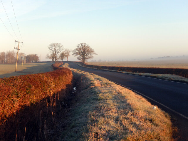
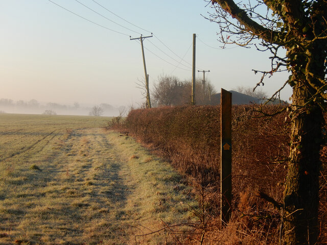
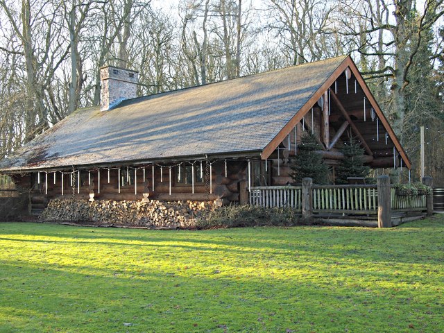
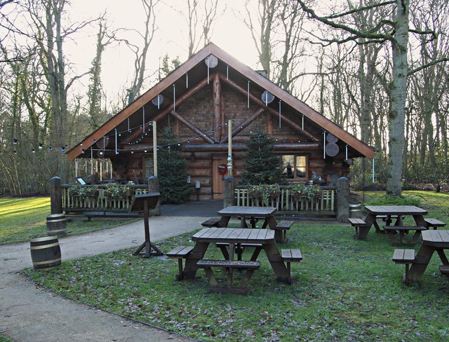
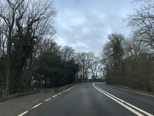
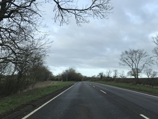
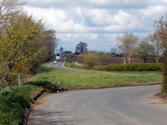
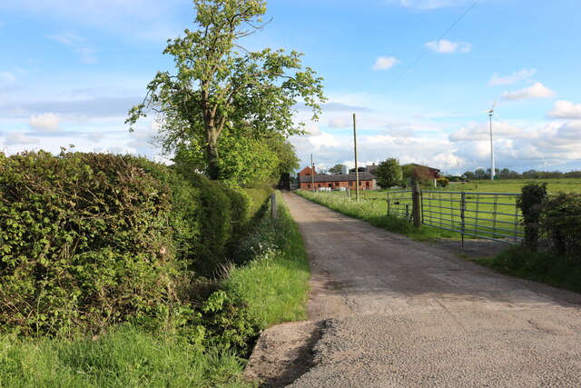
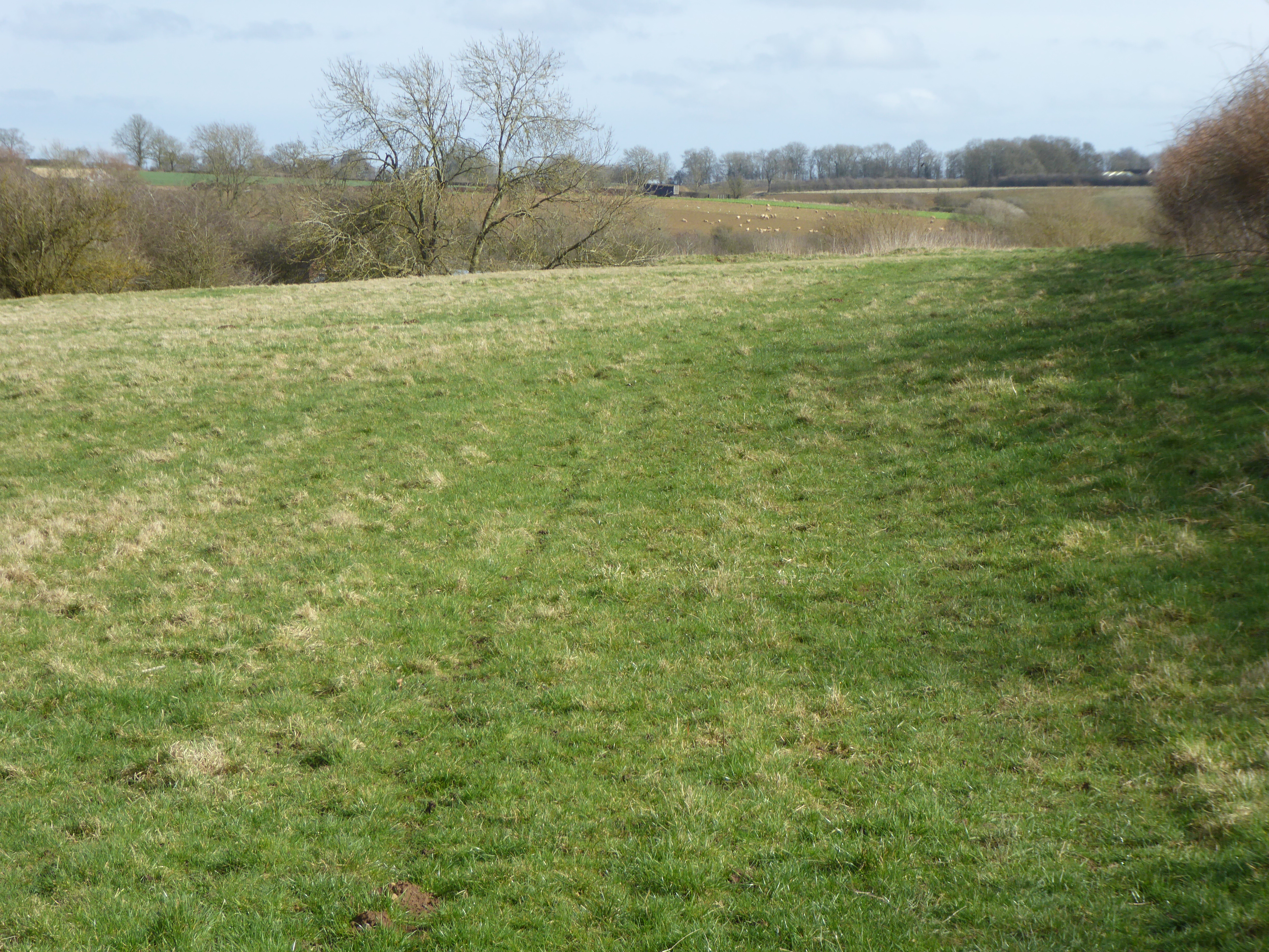
The ground is nestled amidst the Spinney Wood, which provides a serene and natural backdrop for the cricket matches. The woodlands offer a sense of tranquility and create a unique atmosphere for players and spectators alike. The lush forests surrounding the ground enhance the overall aesthetics, making it an idyllic location for cricket matches.
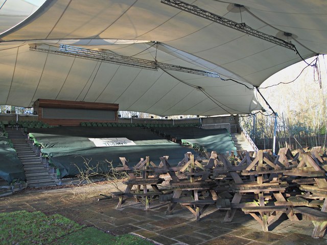
Cricket Ground Spinney boasts excellent facilities, including a well-maintained pitch and spacious pavilions. The pitch is known for its consistent bounce and even playing surface, ensuring a fair competition for both batsmen and bowlers. The pavilions provide ample seating capacity and offer great views of the playing field, allowing spectators to enjoy the game comfortably.
The ground also features modern amenities, such as changing rooms, practice nets, and a refreshment stand, ensuring convenience for players and spectators. The well-kept surroundings and vibrant greenery further enhance the overall experience of visiting Cricket Ground Spinney.
The venue often hosts local and regional cricket matches, attracting teams and fans from nearby areas. It is also occasionally used for cricket coaching and training sessions due to its well-regarded facilities and peaceful surroundings.
Overall, Cricket Ground Spinney in Leicestershire offers a picturesque and peaceful setting for cricket matches, captivating players and spectators with its natural beauty and quality facilities.
If you have any feedback on the listing, please let us know in the comments section below.
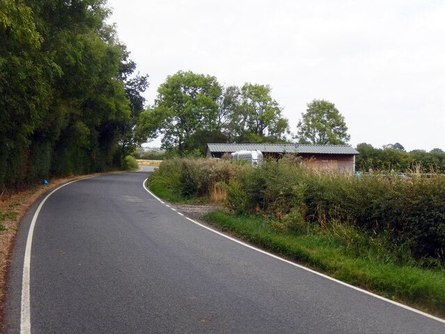
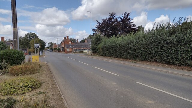
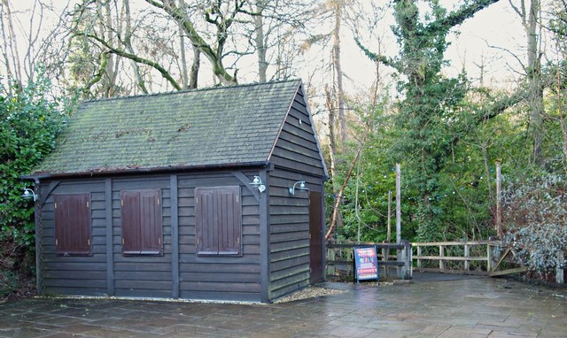
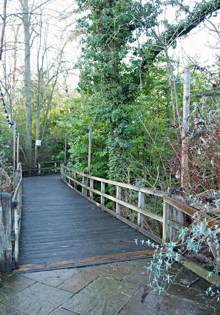
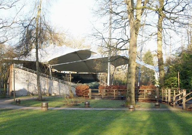
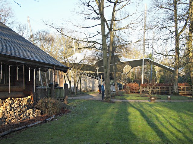
Cricket Ground Spinney Images
Images are sourced within 2km of 52.448466/-1.1133066 or Grid Reference SP6083. Thanks to Geograph Open Source API. All images are credited.


Cricket Ground Spinney is located at Grid Ref: SP6083 (Lat: 52.448466, Lng: -1.1133066)
Administrative County: Leicestershire
District: Harborough
Police Authority: Leicestershire
What 3 Words
///canines.reporters.inspector. Near Husbands Bosworth, Leicestershire
Related Wikis

Kilworth House
Kilworth House is a four star country house hotel, located west of North Kilworth, Leicestershire. == History == This grade II listed Italianate country...

North Kilworth
North Kilworth is a village and civil parish in the Harborough district, in south Leicestershire, England, north of South Kilworth. The population of the...

North Kilworth Nature Reserve
North Kilworth Nature Reserve is a 2.0 hectares (4.9 acres) Local Nature Reserve in North Kilworth Leicestershire. It is owned and managed by Harborough...
South Kilworth
South Kilworth is a village and civil parish in the southern part of Leicestershire, England, south of North Kilworth. The parish has a population of 430...
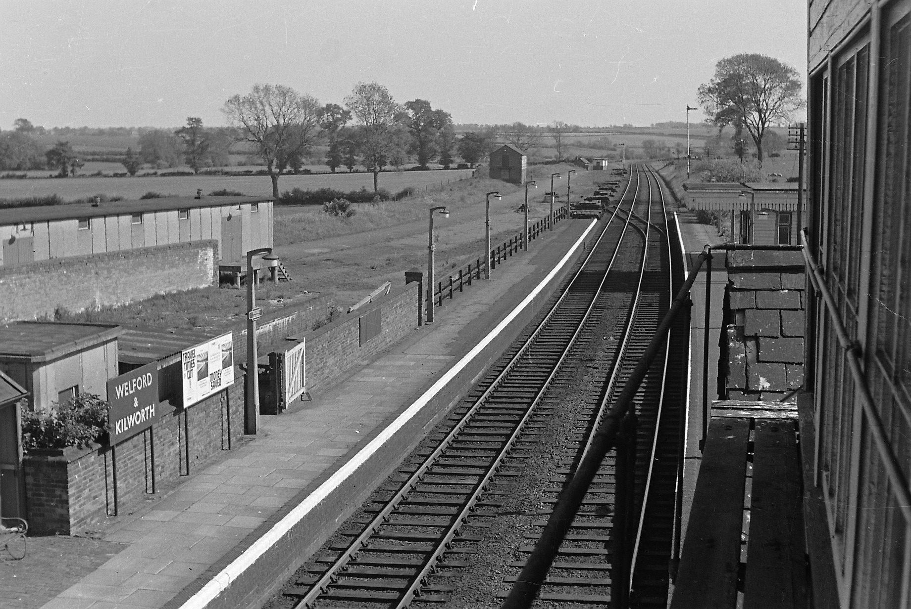
Welford and Kilworth railway station
Welford and Kilworth railway station was a railway station serving Welford and North and South Kilworth in the English county of Leicestershire. It was...
Bosworth Mill Meadow
Bosworth Mill Meadow is a 5.7-hectare (14-acre) biological Site of Special Scientific Interest north-west of Welford in Northamptonshire.This hay meadow...

Stanford Reservoir
Stanford Reservoir is a drinking water reservoir on the River Avon, England. It lies on the county boundary between Leicestershire and Northamptonshire...

Kimcote and Walton
Kimcote and Walton is a civil parish situated in the Harborough district, in Leicestershire, England, approximately 4 miles north east of Lutterworth....
Nearby Amenities
Located within 500m of 52.448466,-1.1133066Have you been to Cricket Ground Spinney?
Leave your review of Cricket Ground Spinney below (or comments, questions and feedback).