Butler's Spinney
Wood, Forest in Leicestershire Harborough
England
Butler's Spinney
Butler's Spinney is a charming woodland area located in Leicestershire, England. Situated near the village of Woodhouse Eaves, it forms part of the larger Charnwood Forest. Covering an area of approximately 50 acres, Butler's Spinney is a haven for nature enthusiasts and those seeking tranquility amidst the beauty of the countryside.
The woodland is characterized by its dense canopy of trees, predominantly consisting of oak, birch, and beech. These towering giants create a shady and peaceful environment, offering respite from the hustle and bustle of everyday life. The forest floor is adorned with a rich carpet of bluebells and other wildflowers, adding a burst of color to the landscape during the spring months.
Butler's Spinney is home to a diverse range of wildlife. Visitors may catch a glimpse of roe deer, foxes, and various species of birds, including woodpeckers and owls. The woodland provides an ideal habitat for these creatures, offering shelter and ample food sources.
The woodland is crisscrossed with a network of walking trails, allowing visitors to explore its beauty at their own pace. These paths meander through the trees, revealing hidden nooks and crannies and providing breathtaking views of the surrounding countryside. It is a popular spot for walking, jogging, and dog walking, attracting both locals and tourists alike.
Butler's Spinney is not only a natural treasure but also holds historical significance. It is believed to have been part of the ancient Charnwood Forest, which has been a prominent feature of the Leicestershire landscape for centuries. Today, it stands as a testament to the area's rich natural and cultural heritage.
If you have any feedback on the listing, please let us know in the comments section below.
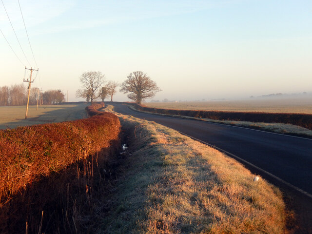
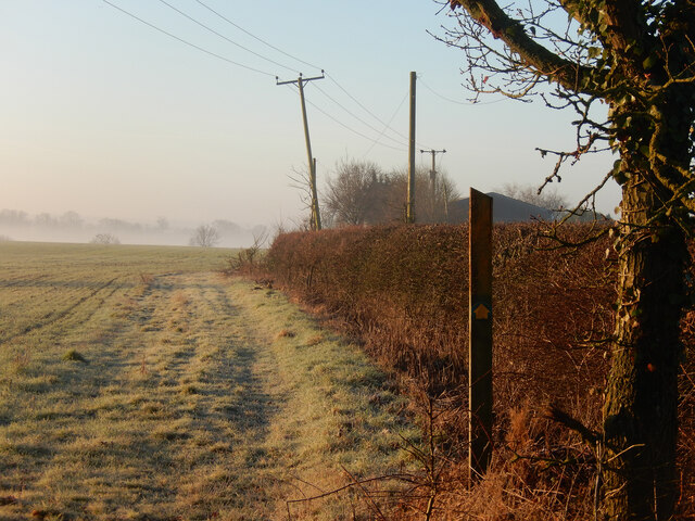
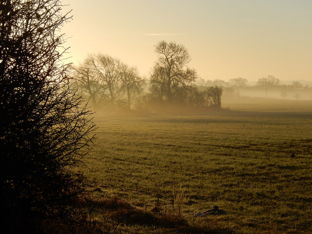
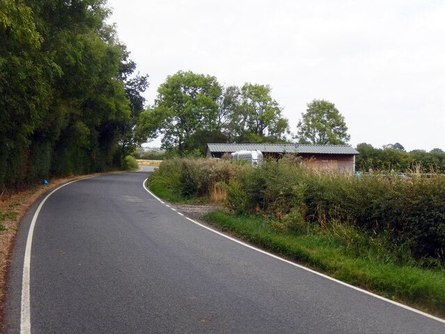
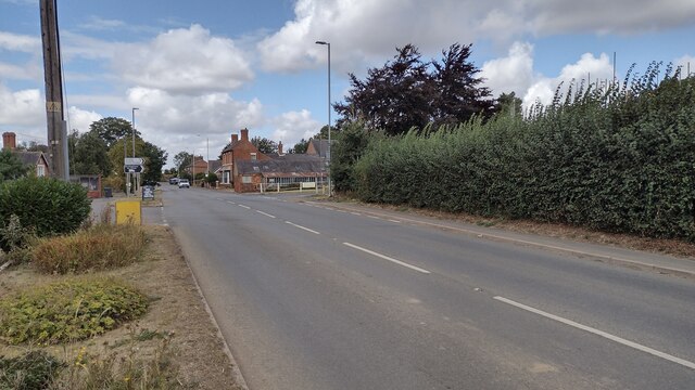
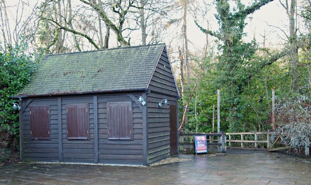
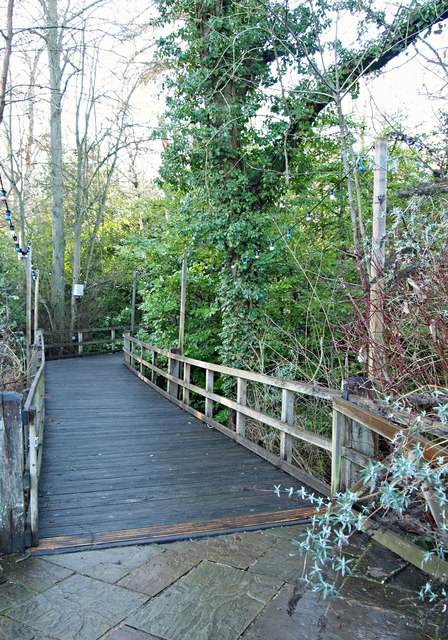
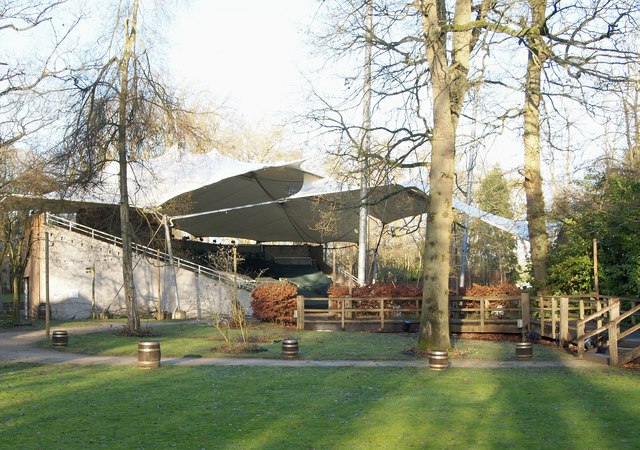
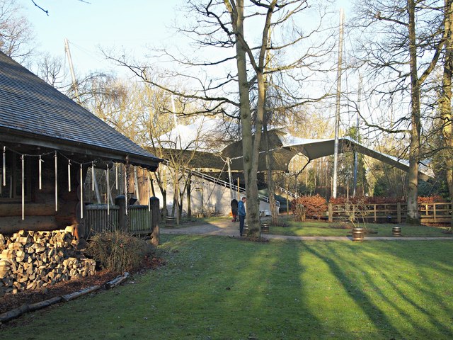
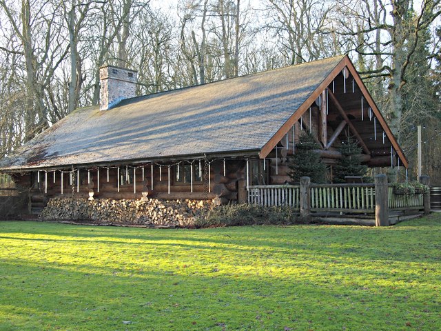
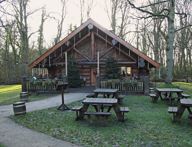
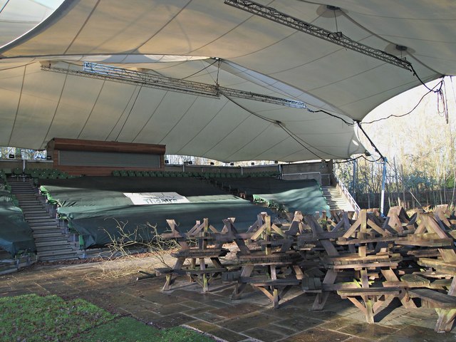
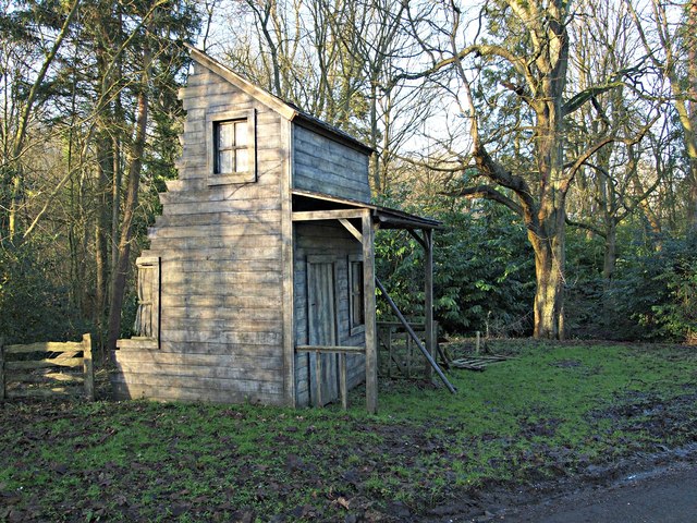
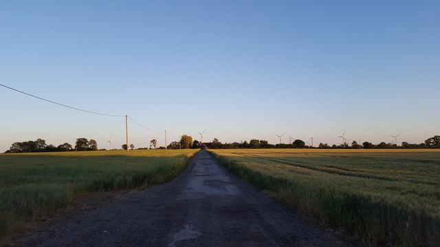
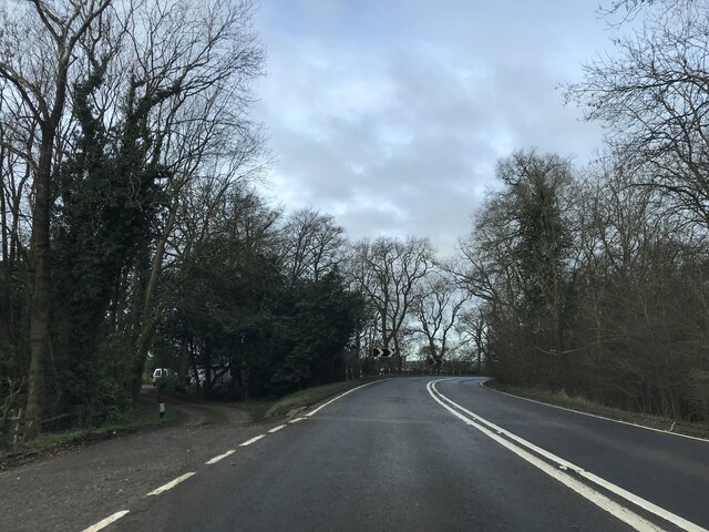
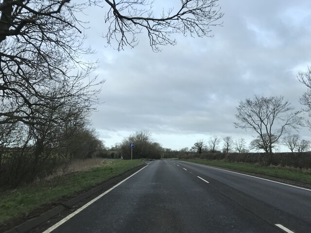
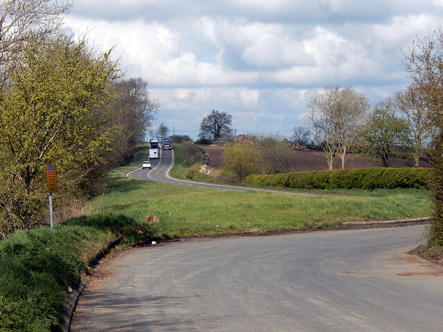
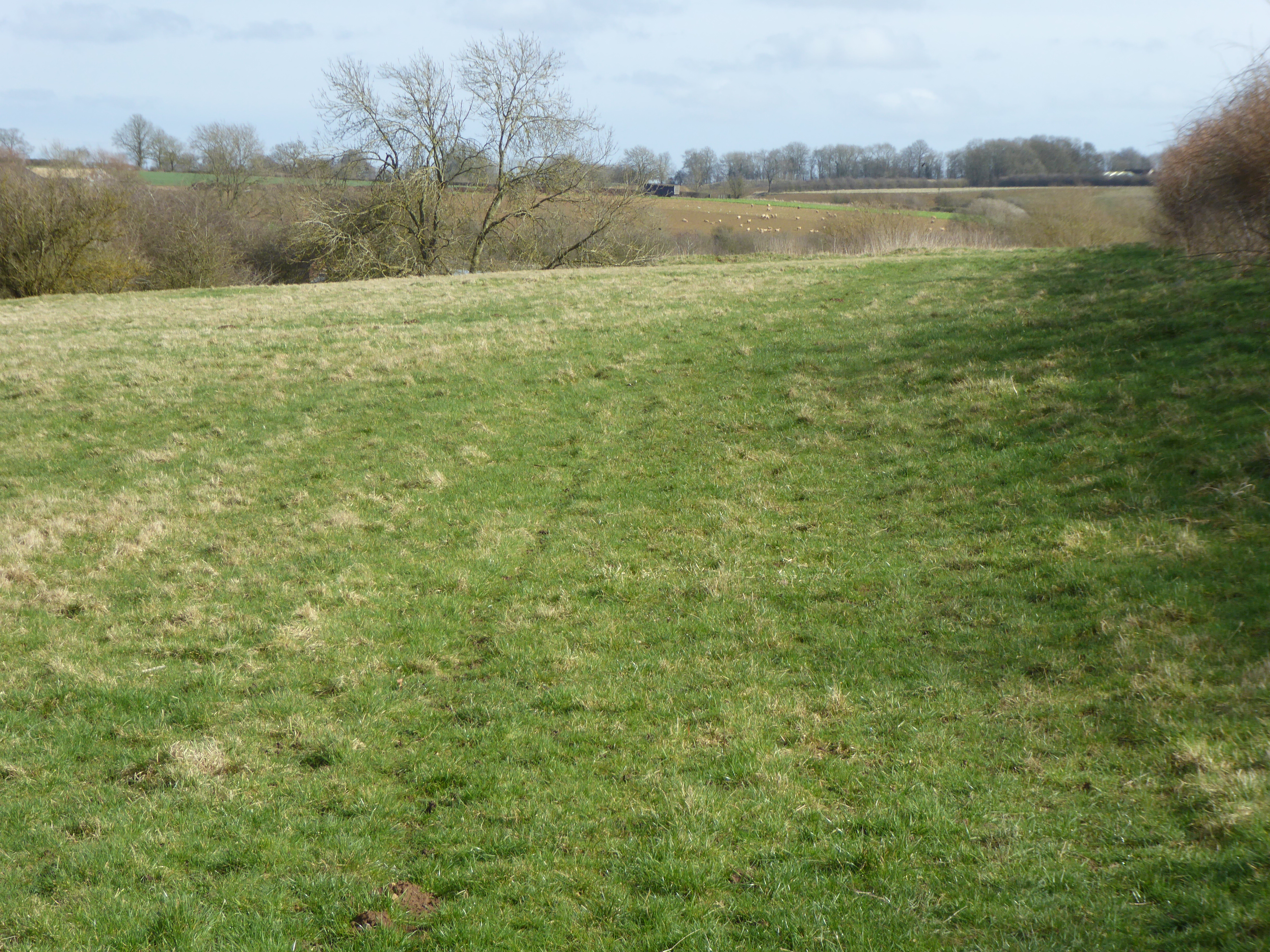
Butler's Spinney Images
Images are sourced within 2km of 52.448112/-1.117669 or Grid Reference SP6083. Thanks to Geograph Open Source API. All images are credited.

Butler's Spinney is located at Grid Ref: SP6083 (Lat: 52.448112, Lng: -1.117669)
Administrative County: Leicestershire
District: Harborough
Police Authority: Leicestershire
What 3 Words
///digit.hints.jots. Near Husbands Bosworth, Leicestershire
Related Wikis

Kilworth House
Kilworth House is a four star country house hotel, located west of North Kilworth, Leicestershire. == History == This grade II listed Italianate country...

North Kilworth
North Kilworth is a village and civil parish in the Harborough district, in south Leicestershire, England, north of South Kilworth. The population of the...

North Kilworth Nature Reserve
North Kilworth Nature Reserve is a 2.0 hectares (4.9 acres) Local Nature Reserve in North Kilworth Leicestershire. It is owned and managed by Harborough...
South Kilworth
South Kilworth is a village and civil parish in the southern part of Leicestershire, England, south of North Kilworth. The parish has a population of 430...
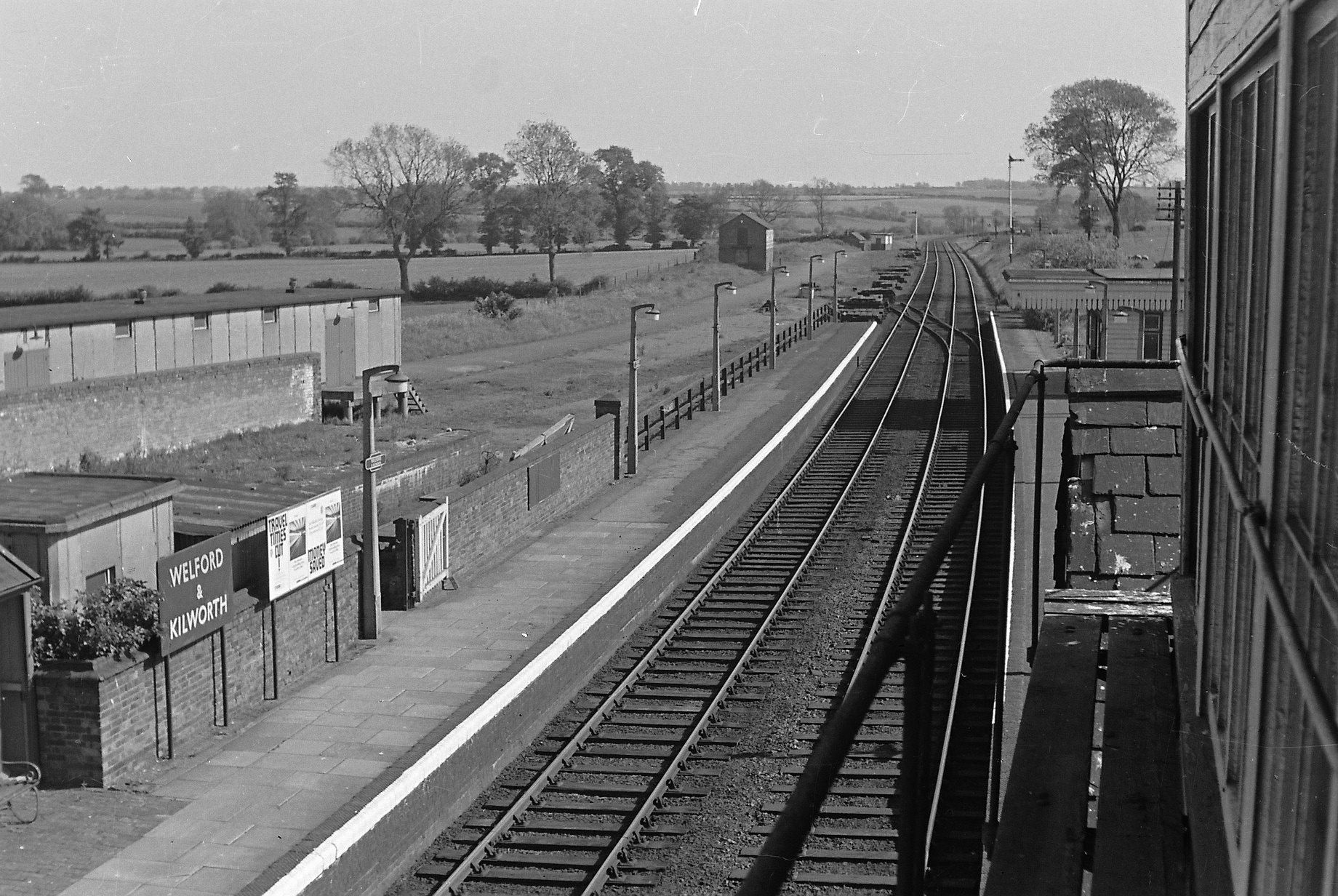
Welford and Kilworth railway station
Welford and Kilworth railway station was a railway station serving Welford and North and South Kilworth in the English county of Leicestershire. It was...

Stanford Reservoir
Stanford Reservoir is a drinking water reservoir on the River Avon, England. It lies on the county boundary between Leicestershire and Northamptonshire...

Kimcote and Walton
Kimcote and Walton is a civil parish situated in the Harborough district, in Leicestershire, England, approximately 4 miles north east of Lutterworth....
Bosworth Mill Meadow
Bosworth Mill Meadow is a 5.7-hectare (14-acre) biological Site of Special Scientific Interest north-west of Welford in Northamptonshire.This hay meadow...
Nearby Amenities
Located within 500m of 52.448112,-1.117669Have you been to Butler's Spinney?
Leave your review of Butler's Spinney below (or comments, questions and feedback).