Marks Wood

Wood, Forest in Hampshire Winchester

England

Marks Wood

Farmland, Old Alresford The corner of a field of wheat to the east of Godsfield Copse.
Farmland, Old Alresford Credit: Andrew Smith

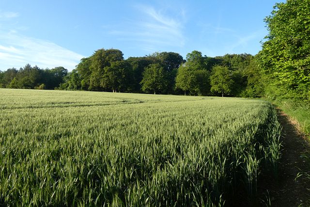
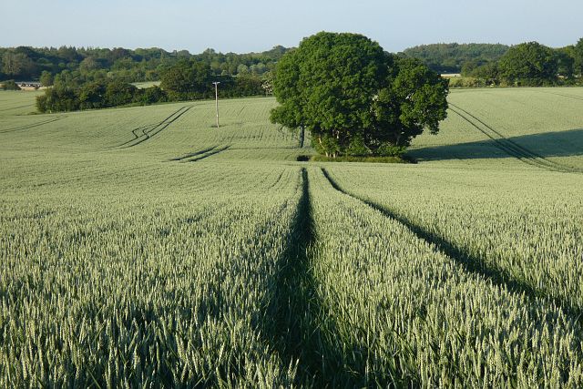
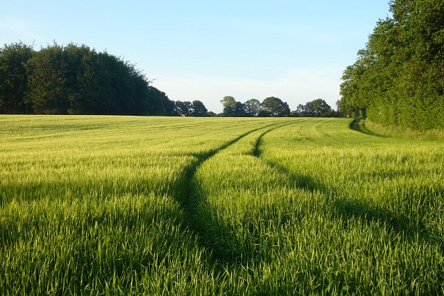
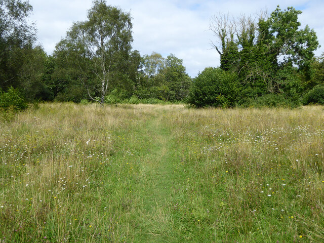
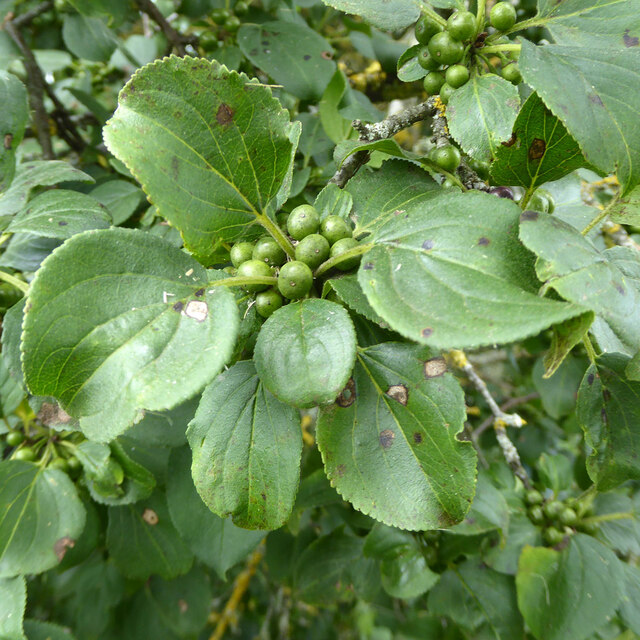
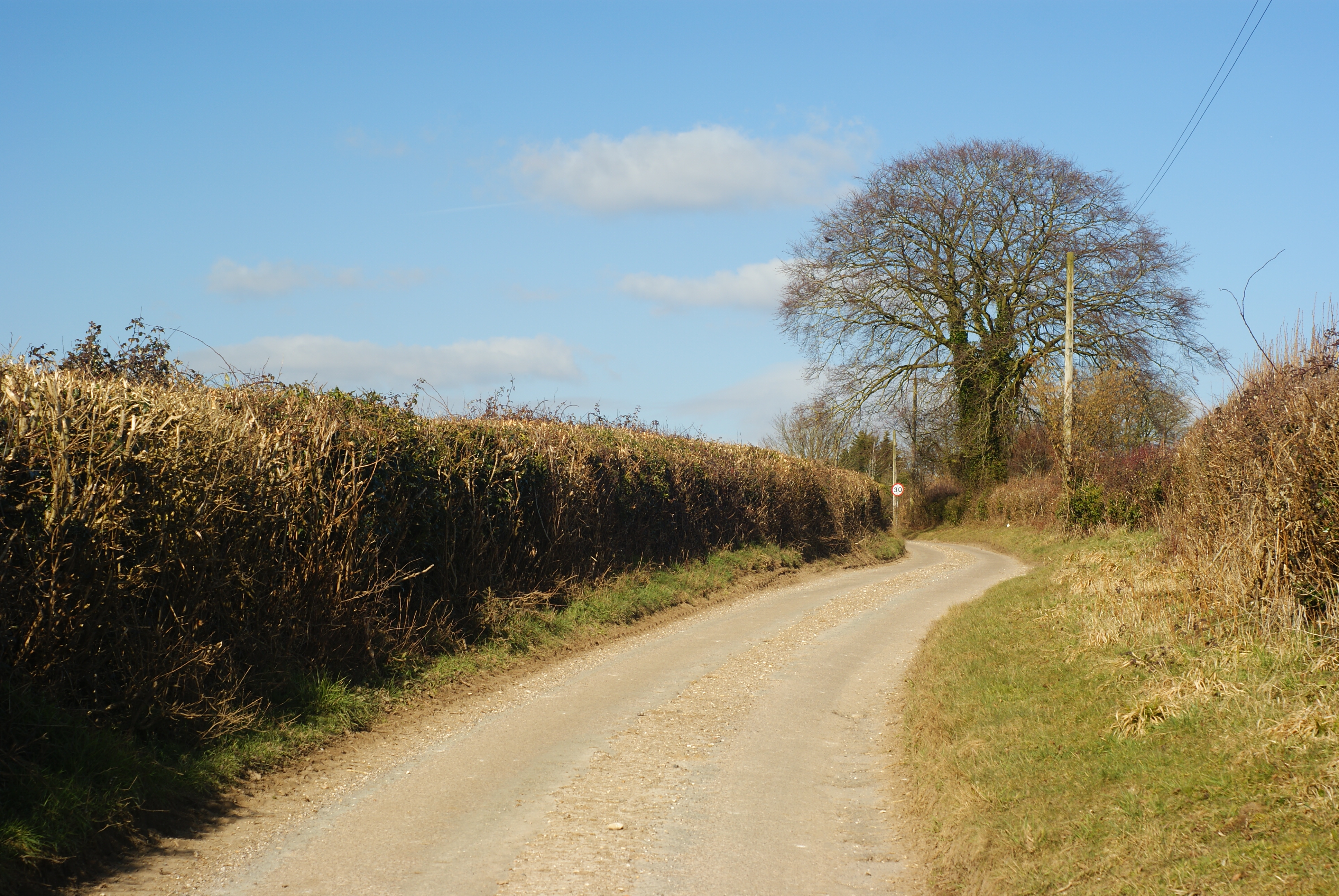
Marks Wood is a picturesque forest located in Hampshire, England. Covering an area of approximately 100 acres, it is known for its natural beauty and diverse ecosystem. The wood is predominantly made up of deciduous trees, including oak, beech, and birch, which provide a stunning display of colors throughout the year.

The forest is home to a variety of wildlife, including deer, foxes, rabbits, and a wide range of bird species. Nature enthusiasts and birdwatchers flock to Marks Wood to observe and appreciate the abundance of wildlife that calls this forest home. The peaceful atmosphere and tranquil surroundings make it an ideal destination for nature lovers and those seeking a break from the hustle and bustle of city life.

The wood offers several walking trails that wind through its enchanting landscape, allowing visitors to explore its beauty at their own pace. These well-maintained paths provide an opportunity to immerse oneself in the serenity of the surroundings while enjoying the fresh air and natural scenery.

Marks Wood also has a rich history, with evidence of human presence dating back to the Neolithic period. Ancient burial mounds and remnants of settlements can be found within the forest, adding to its historical significance.

Visitors to Marks Wood can enjoy a picnic at one of the designated areas or simply relax on one of the many benches scattered throughout the forest. The wood also offers educational programs and guided tours, allowing visitors to learn more about the flora, fauna, and history of this remarkable natural treasure.

In conclusion, Marks Wood in Hampshire is a captivating forest offering a tranquil retreat for nature lovers, with its diverse ecosystem, scenic walking trails, and rich historical heritage.

If you have any feedback on the listing, please let us know in the comments section below.
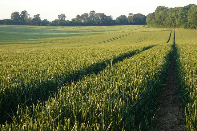
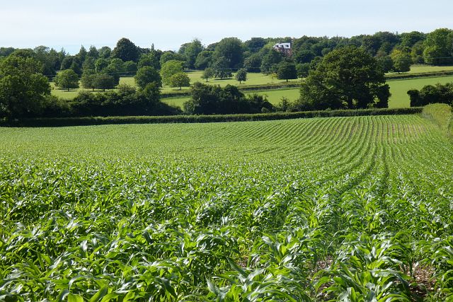
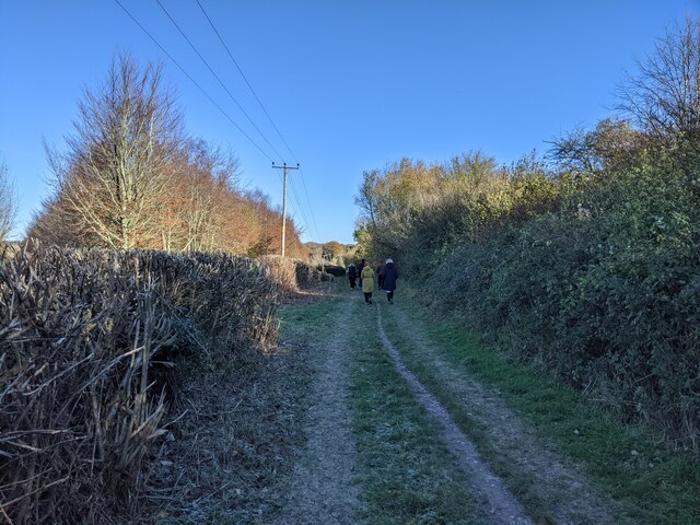
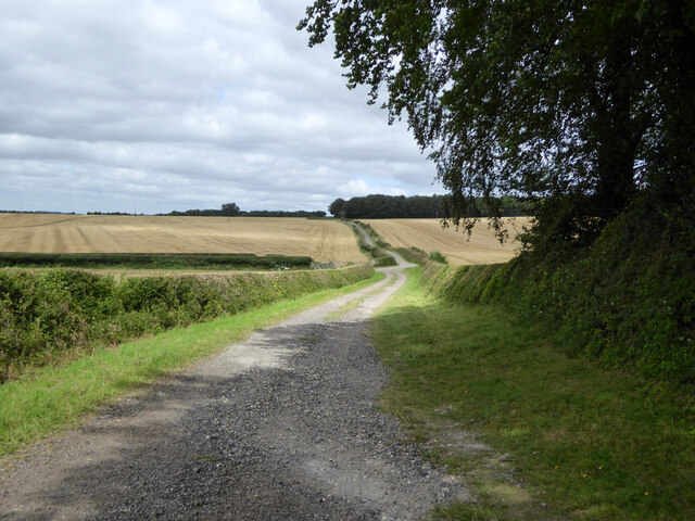
Marks Wood Images

Images are sourced within 2km of 51.121767/-1.1421937 or Grid Reference SU6036. Thanks to Geograph Open Source API. All images are credited.

Farmland, Old Alresford The corner of a field of wheat to the east of Godsfield Copse.
Farmland, Old Alresford
The corner of a field of wheat to the east of Godsfield Copse.
Farmland, Old Alresford A clump of trees in wheat to the north of Armsworth Park.
Farmland, Old Alresford
A clump of trees in wheat to the north of Armsworth Park.
Farm buildings, pasture and woods, Old Alresford Looking down from the footpath climbing southwards from Lower Lanham.
Farm buildings, pasture and woods, Old Alresford
Looking down from the footpath climbing southwards from Lower Lanham.
Farmland, Old Alresford Spring barley with Serivens Copse to the left of picture.
Farmland, Old Alresford
Spring barley with Serivens Copse to the left of picture.
Farmland, Old Alresford A crop of wheat between Lower and Upper Lanham Farms, looking towards the latter.
Farmland, Old Alresford
A crop of wheat between Lower and Upper Lanham Farms, looking towards the latter.
Farmland, Bighton A footpath passes to the right of the copse beside a crop of oil-seed rape.
Farmland, Bighton
A footpath passes to the right of the copse beside a crop of oil-seed rape.
Farmland, Old Alresford A crop of maize below Upper Lanham with the large modern house at Armsworth Hill appearing across the valley.
Farmland, Old Alresford
A crop of maize below Upper Lanham with the large modern house at Armsworth Hill appearing across the valley.
Farmland, Bighton A crop of wheat and plantation to the west of Nettlebeds Lane.
Farmland, Bighton
A crop of wheat and plantation to the west of Nettlebeds Lane.
Farmland, Old Alresford Looking somewhat battered, winter barley beside a footpath to the south-east of Upper Lanham.
Farmland, Old Alresford
Looking somewhat battered, winter barley beside a footpath to the south-east of Upper Lanham.
Walkers on Oxdrove Way heading north-east
Walkers on Oxdrove Way
Beech hedge at Bighton Manor
Spybush Lane A public bridleway, 173/7/1, Northington. Used by the Wayfarer's Walk trail.
Spybush Lane
A public bridleway, 173/7/1, Northington. Used by the Wayfarer's Walk trail.
Path, Abbotstone Down A Hampshire County Council property, the grassland is very floriferous.
Path, Abbotstone Down
A Hampshire County Council property, the grassland is very floriferous.
Common Toadflax by Spybush Lane Linaria vulgaris is a common plant, happy in dry dusty places, but not particularly so here.
Common Toadflax by Spybush Lane
Linaria vulgaris is a common plant, happy in dry dusty places, but not particularly so here.
Buckthorn by Spybush Lane Rhamnus catharticus is a bush I have seldom encountered, but accounts say it is not particularly uncommon. The curving veins of the leaves and general shape are shared with Dogwood, if in doubt pull a leaf apart lengthwise - Buckthorn breaks cleanly, with Dogwood the veins part with an elastic string between the ends. Here the berries are unripe, they later turn black.
Buckthorn by Spybush Lane
Rhamnus catharticus is a bush I have seldom encountered, but accounts say it is not particularly uncommon. The curving veins of the leaves and general shape are shared with Dogwood, if in doubt pull a leaf apart lengthwise - Buckthorn breaks cleanly, with Dogwood the veins part with an elastic string between the ends. Here the berries are unripe, they later turn black.
Bridleway near Nettlebed Farm, looking east
Open countryside near Bighton This is just next to Bighton manor but the manor hides behind a large hedge.
Open countryside near Bighton
This is just next to Bighton manor but the manor hides behind a large hedge.
Show me another place!

Marks Wood is located at Grid Ref: SU6036 (Lat: 51.121767, Lng: -1.1421937)

Administrative County: Hampshire

District: Winchester

Police Authority: Hampshire

What 3 Words

///panthers.sting.hillsides. Near New Alresford, Hampshire

Related Wikis

Bighton

Bighton is a village and civil parish in the City of Winchester district of Hampshire, England. According to the 2011 census it had a population of 341...

Old Alresford

Old Alresford ( OLZ-fərd or AWLZ-fərd) is a village and civil parish in Hampshire, England. It is 1 km (0.6 miles) north of the town of New Alresford...

Old Alresford House

Old Alresford House is an 18th-century Georgian country house in Old Alresford, Hampshire, England. It is a Grade II* listed building.It was built between...

Gundleton

Gundleton is a village in Hampshire, England. It is in the civil parish of Bighton. Its nearest railway station is the restored Watercress Line in New...

Wield

Wield is a civil parish in the East Hampshire district, in the county of Hampshire, England. It includes two neighbouring villages, Upper Wield and Lower...
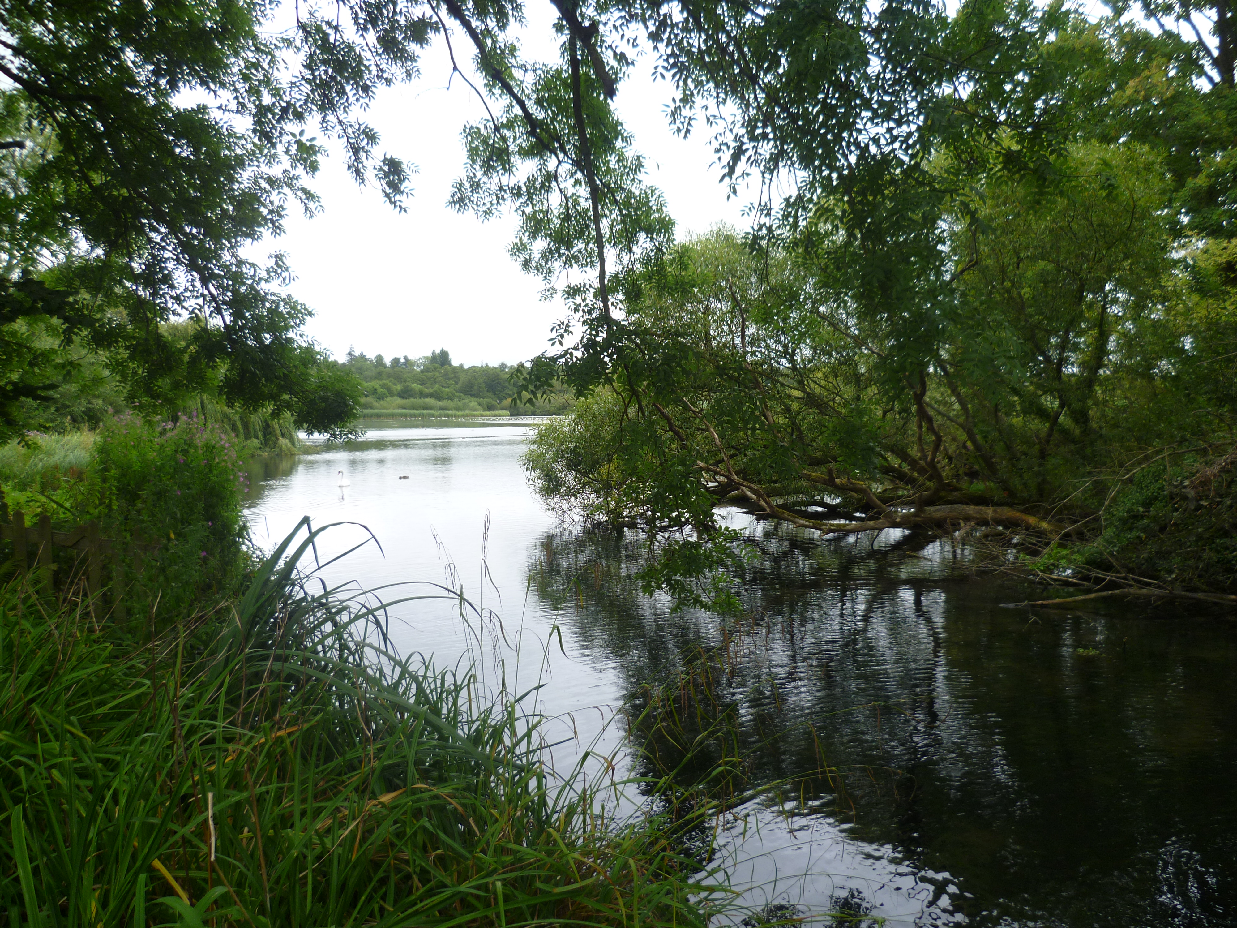
Alresford Pond

Alresford Pond is a 30.2-hectare (75-acre) biological Site of Special Scientific Interest on the north side of New Alresford in Hampshire. This large lake...

Brown Candover

Brown Candover is a village and former civil parish, now in the parish of Candovers, in the Basingstoke and Deane district, in the county of Hampshire...

Swarraton

Swarraton is a small village and former civil parish, now in the parish of Northington, in the City of Winchester district of Hampshire, England. It lies...

Nearby Amenities

Located within 500m of 51.121767,-1.1421937
Power: pole
Lat/Long: 51.1252834/-1.1454856
Power: pole
Lat/Long: 51.1241724/-1.1463279
Power: pole
Lat/Long: 51.1209501/-1.1488706
Power: pole
Lat/Long: 51.1197009/-1.1481035
The data included in this document is from www.openstreetmap.org. The data is made available under ODbL.

Have you been to Marks Wood?

Leave your review of Marks Wood below (or comments, questions and feedback).